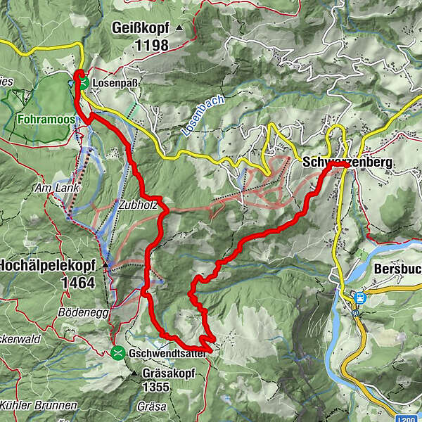
Schwarzenberg | Panorama hike Bödele - Schwarzenberg

Escursioni invernali

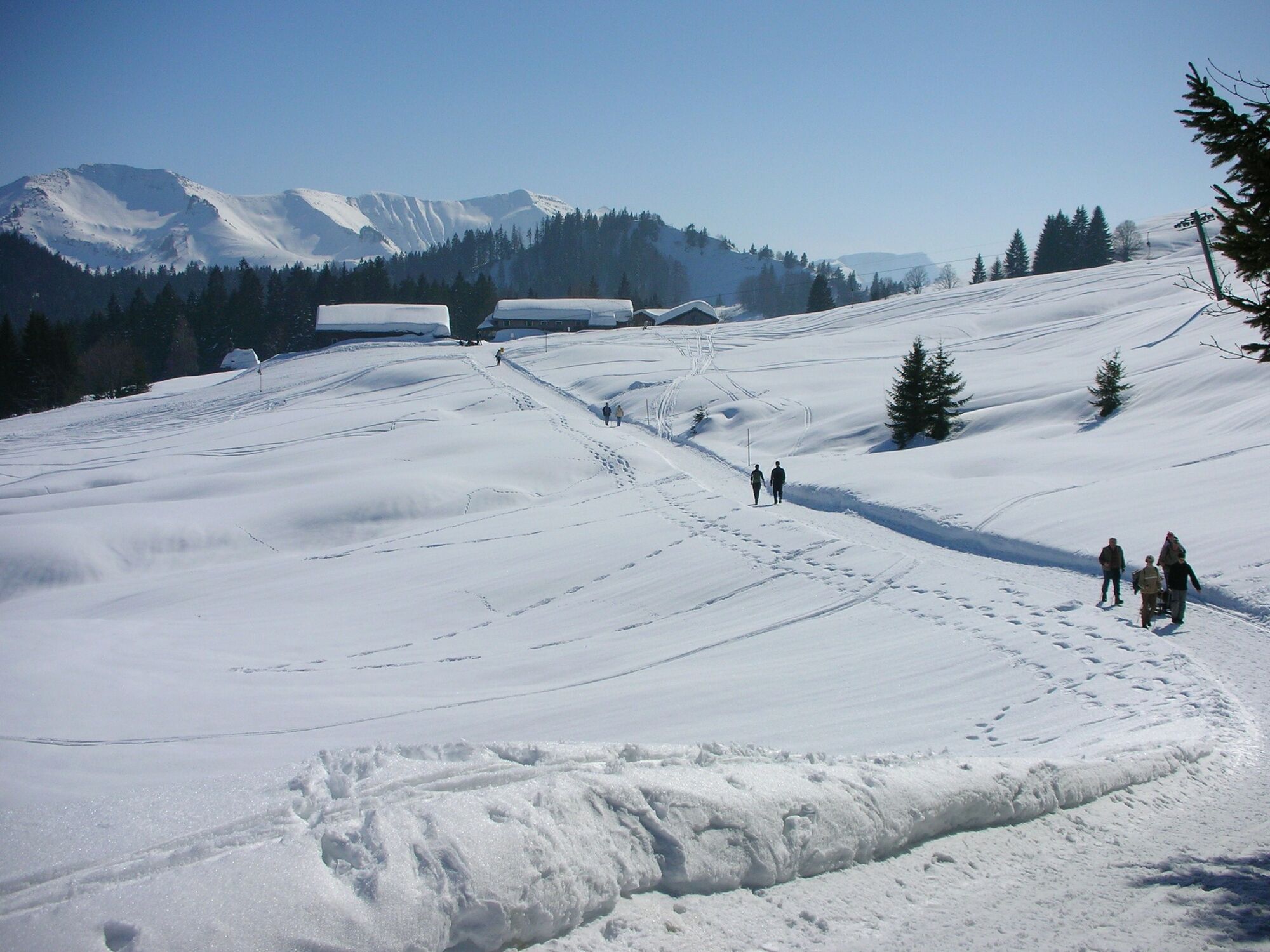
© Bregenzerwald Tourismus - Rudolf Berchtel

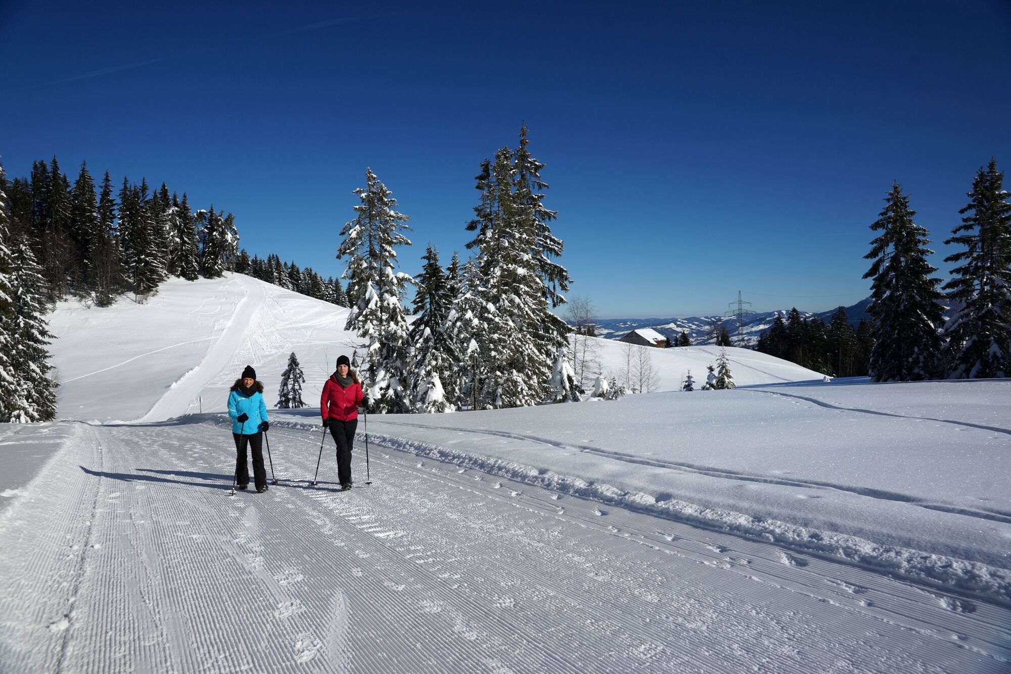
© Bregenzerwald Tourismus - Ludwig Berchtold

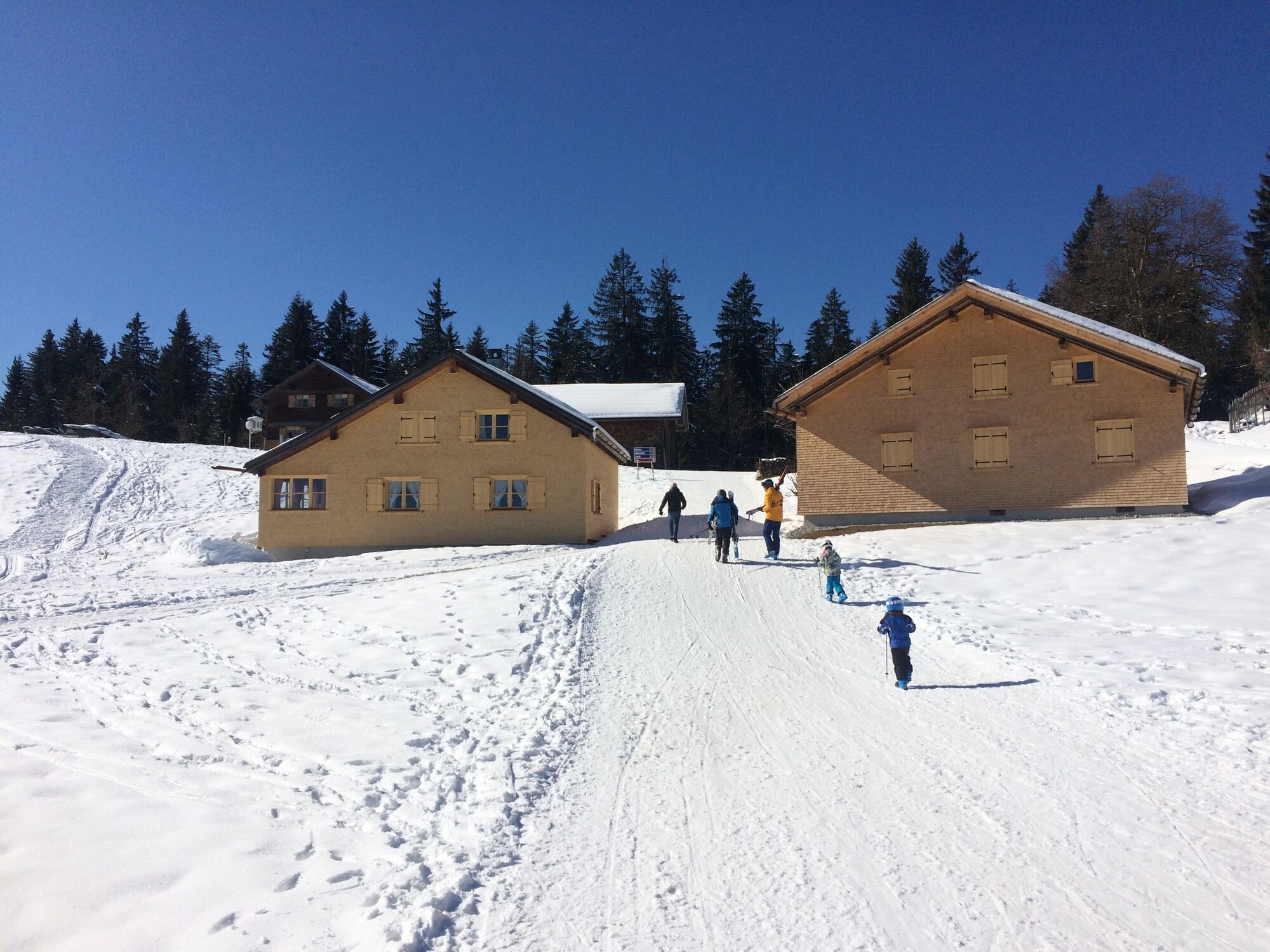
© Bregenzerwald Tourismus - Elisabeth Schneider

- Descrizione rapida
-
Hike from the Bödele into the valley on wide-tracked winter paths.
- Difficoltà
-
facile
- Valutazione
-
- Percorso
-
Berghof FetzHeilige Maria0,2 kmBödele0,6 kmÄlpele3,8 kmLustenauer Hütte4,6 kmVorsäß Klausberg5,5 kmHotel Gasthof Hirschen Schwarzenberg9,2 kmSchwarzenberg (696 m)9,2 kmAdler9,2 kmPfarrkirche Schwarzenberg - Heiligste Dreifaltigkeit9,3 km
- La stagione migliore
-
agosetottnovdicgenfebmaraprmaggiulug
- Punto più alto
- 1.281 m
- Destinazione
-
Schwarzenberg village square
- Profilo altimetrico
-

- Autore
-
Il tour Schwarzenberg | Panorama hike Bödele - Schwarzenberg è utilizzato da outdooractive.com fornito.
GPS Downloads


Info generali
Punto di ristoro
Promettente
Altri tour nelle regioni