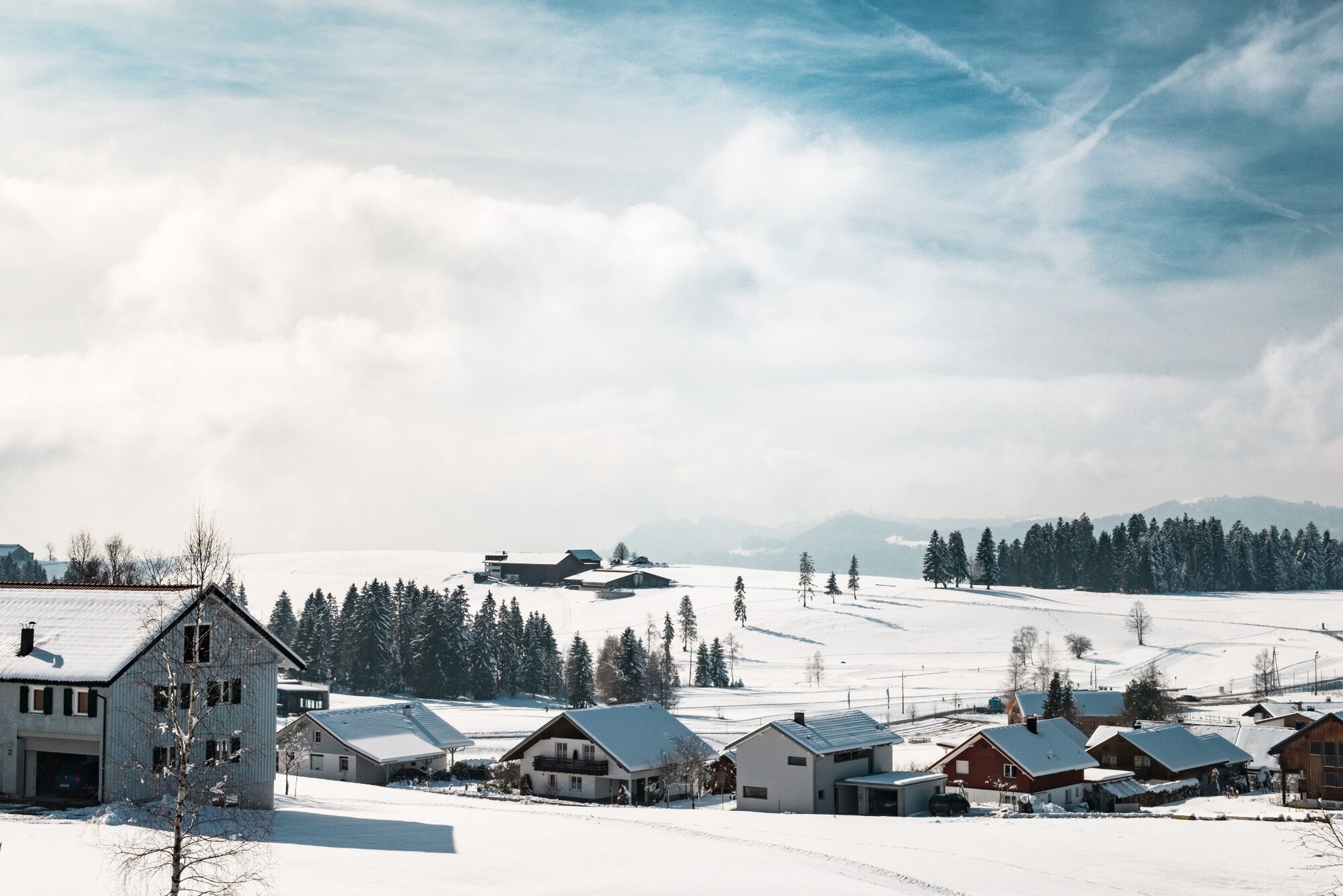
Sulzberg | Höhenwanderung Hochsträss

Escursioni invernali

© Bregenzerwald Tourismus - Benjamin Schlachter

© Bregenzerwald Tourismus - Benjamin Schlachter

- Descrizione rapida
-
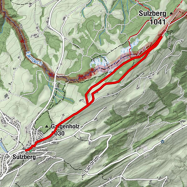
Sulzberg Dorfplatz - Parzelle Brenner - Bergsattel Hochsträss - Sulzberg Dorfplatz
- Difficoltà
-
facile
- Valutazione
-
- Percorso
-
SulzbergGasthof Ochsen0,0 kmGasthof Alpenblick0,0 kmAdler Pizze&Pasta0,1 kmGalgenholz (1.030 m)0,4 kmGalgenholz (1.030 m)4,6 kmGasthof Alpenblick4,9 kmSulzberg5,0 kmAdler Pizze&Pasta5,0 kmGasthof Ochsen5,1 km
- La stagione migliore
-
agosetottnovdicgenfebmaraprmaggiulug
- Punto più alto
- 1.033 m
- Destinazione
-
Sulzberg Dorfplatz
- Profilo altimetrico
-

- Autore
-
Il tour Sulzberg | Höhenwanderung Hochsträss è utilizzato da outdooractive.com fornito.
GPS Downloads


Info generali
Punto di ristoro
Promettente
Altri tour nelle regioni
-
Allgäu
167
-
Westallgäu
71
-
Sulzberg
49