

© Liechtenstein Marketing


© Liechtenstein Marketing


- Descrizione rapida
-
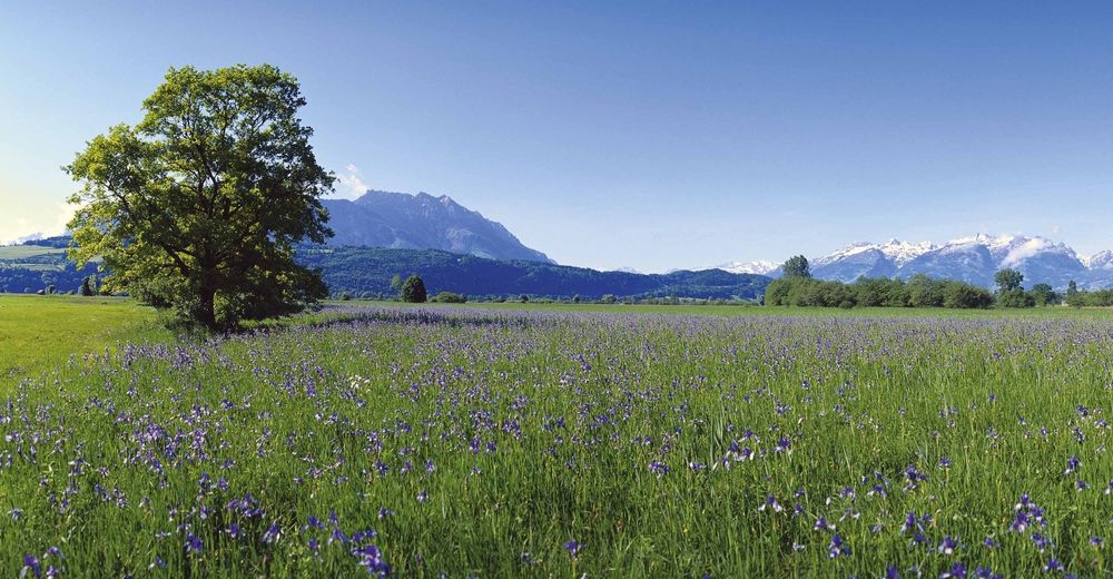
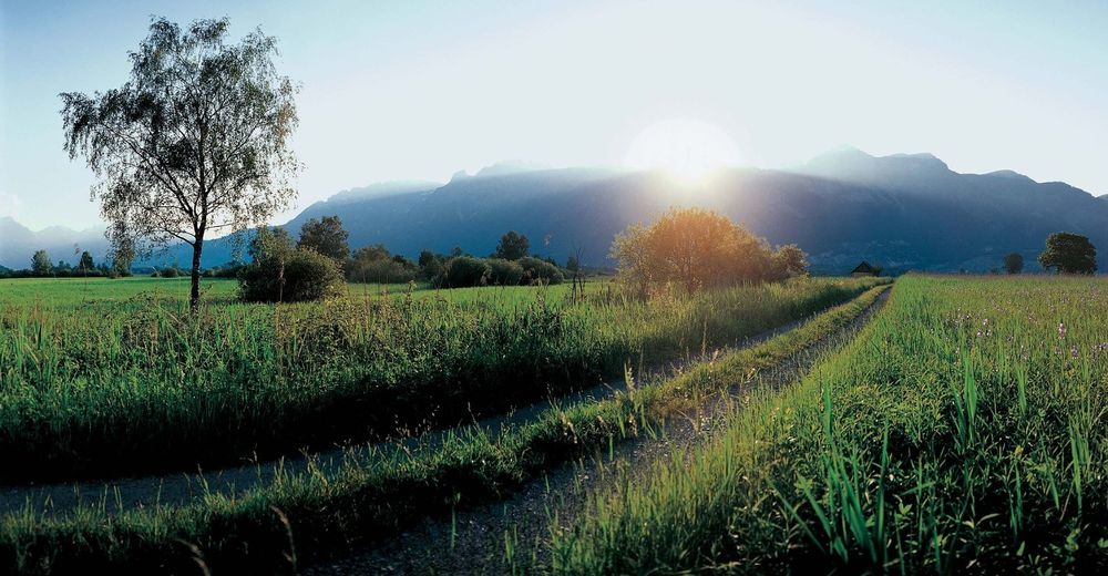
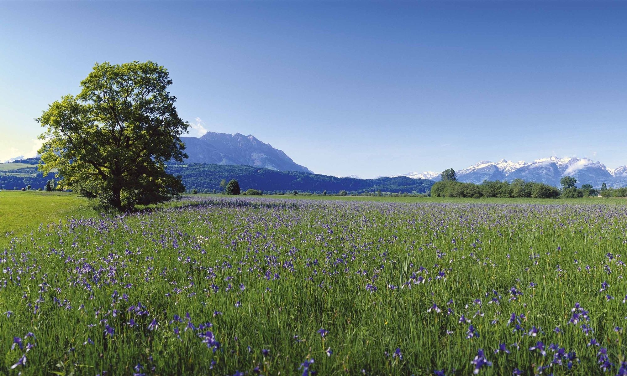
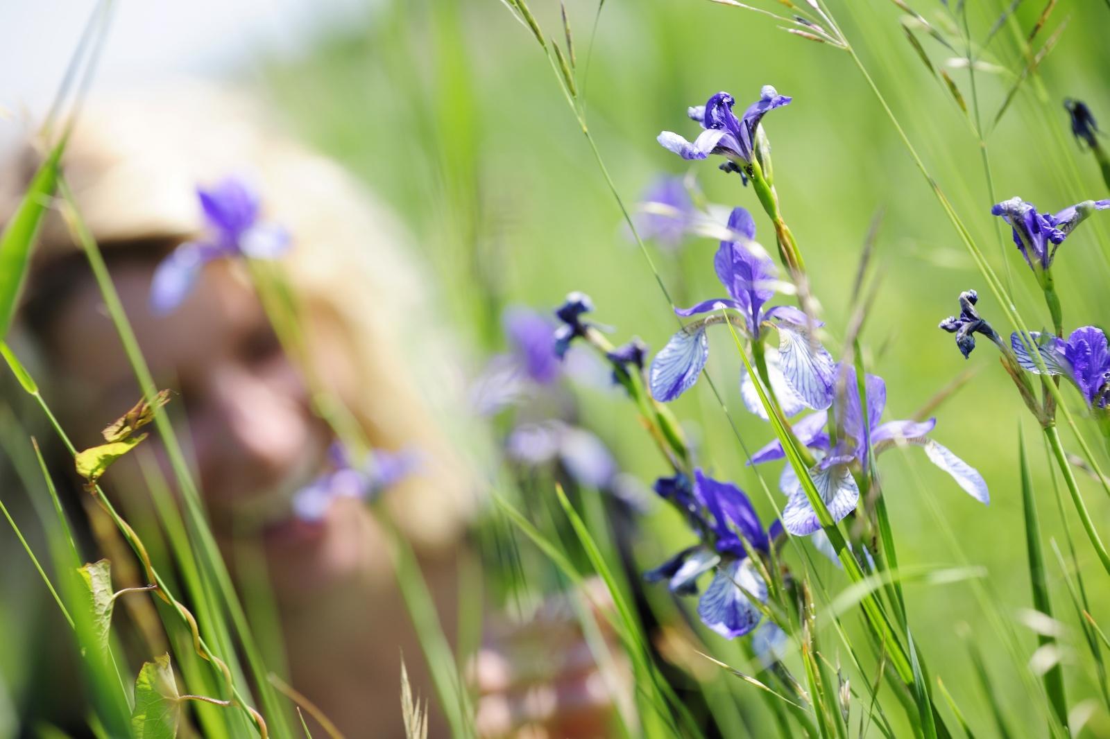
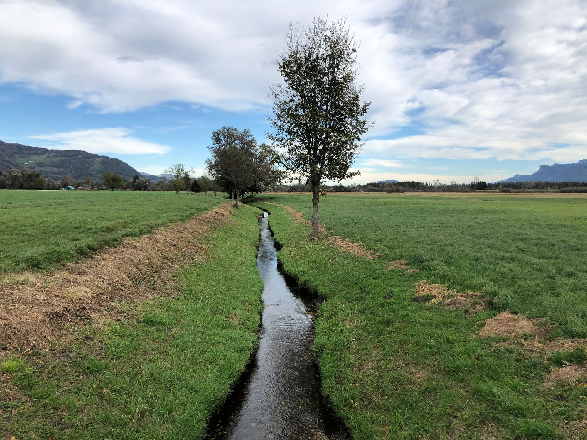
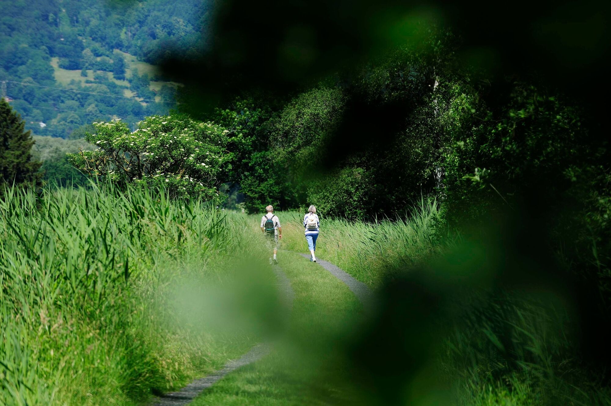
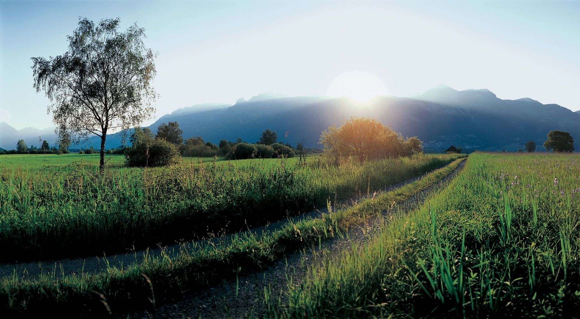
The Ruggeller Riet forms – together with the Bangser Riet in neighbouring Vorarlberg – a magnificent wetland landscape.
- Difficoltà
-
facile
- Valutazione
-
- Percorso
-
Ruggell (433 m)Feldkirch3,0 kmRuggell (433 m)10,5 kmRestaurant Tang10,6 km
- La stagione migliore
-
genfebmaraprmaggiulugagosetottnovdic
- Punto più alto
- 441 m
- Destinazione
-
Ruggell
- Profilo altimetrico
-
 © outdooractive.com


-

-
AutoreIl tour Around the Ruggeller Riet è utilizzato da outdooractive.com fornito.
GPS Downloads


Info generali
Punto di ristoro
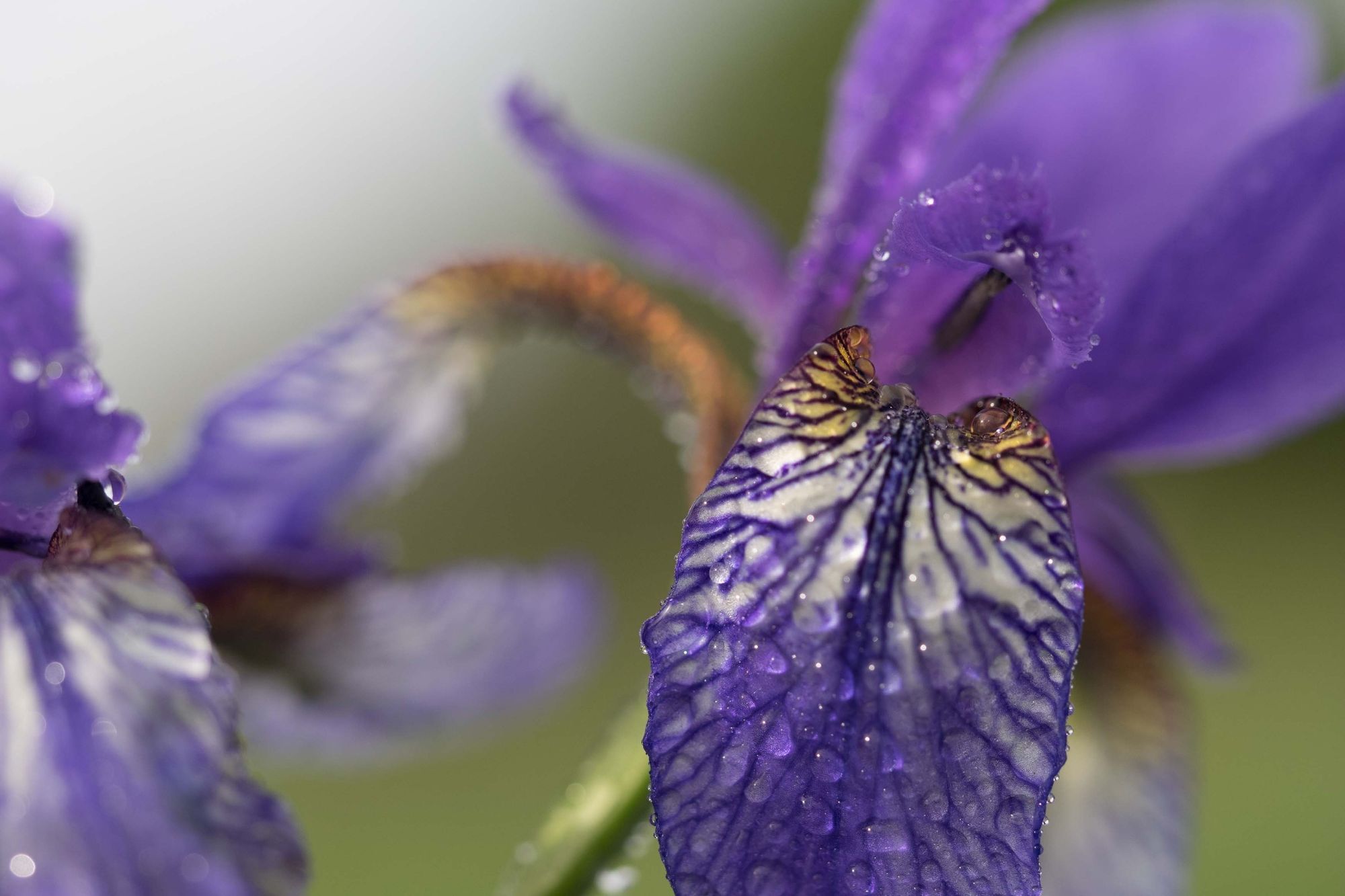
Flora
Fauna
Altri tour nelle regioni
-
Appenzellerland
1955
-
St. Galler Rheintal
1333
-
Schellenberg
297


