

© Kleinwalsertal - Kleinwalsertal Tourismus eGen

© Kleinwalsertal Tourismus eGen | @Fotograf: Bastian Morell

© Kleinwalsertal Tourismus eGen

© Kleinwalsertal Tourismus eGen | @Fotograf: Bastian Morell

- Descrizione rapida
-
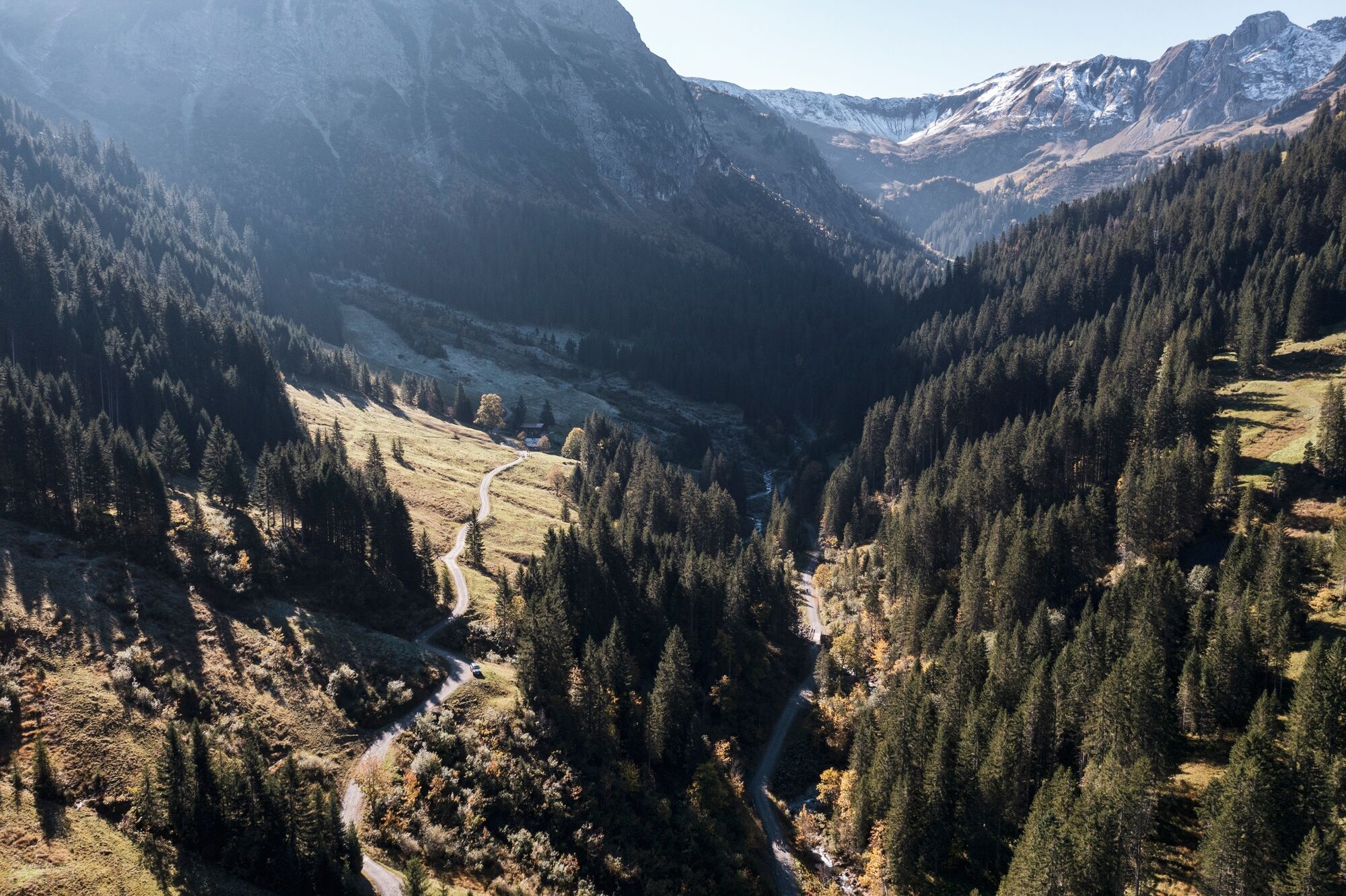
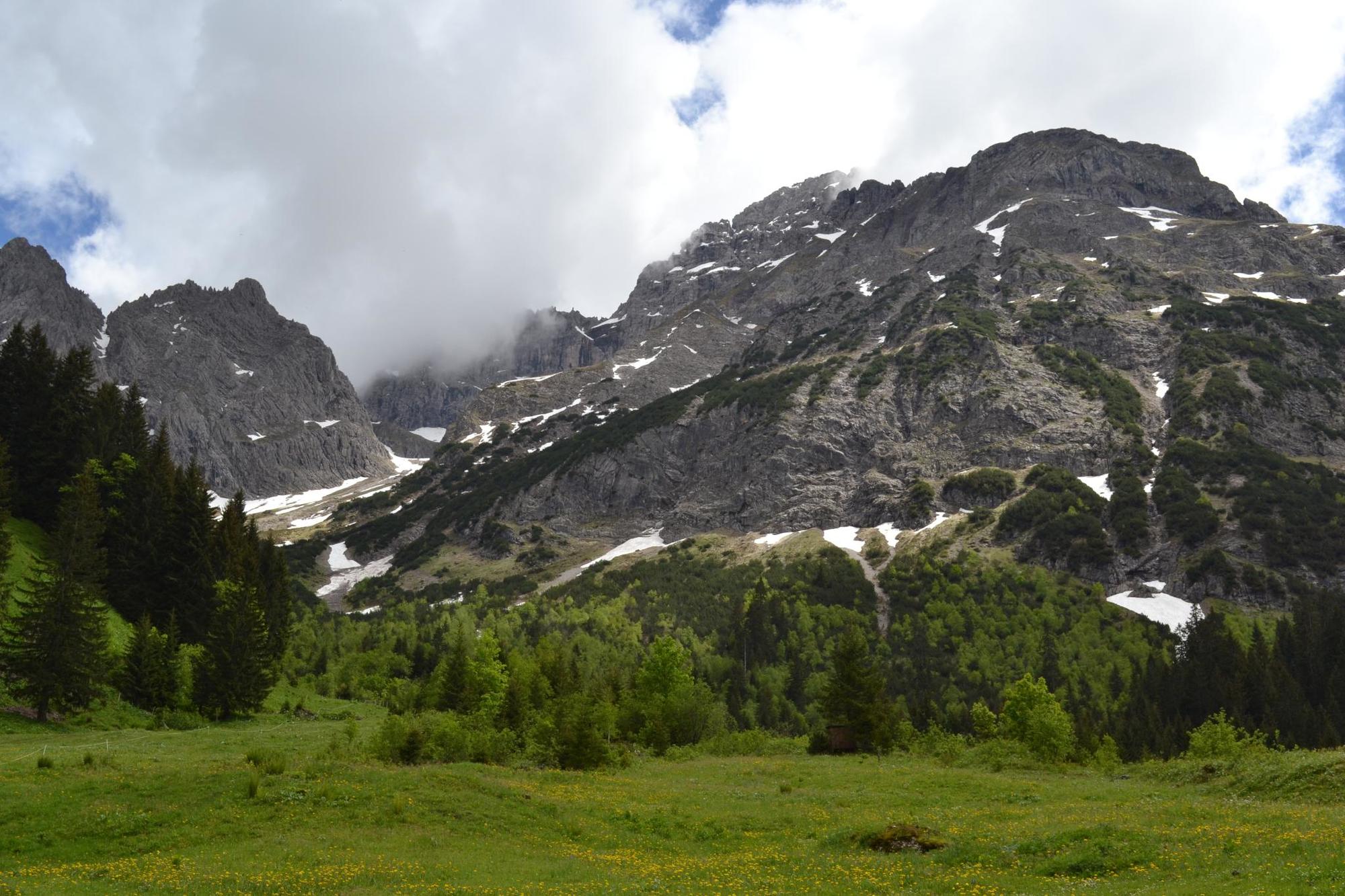
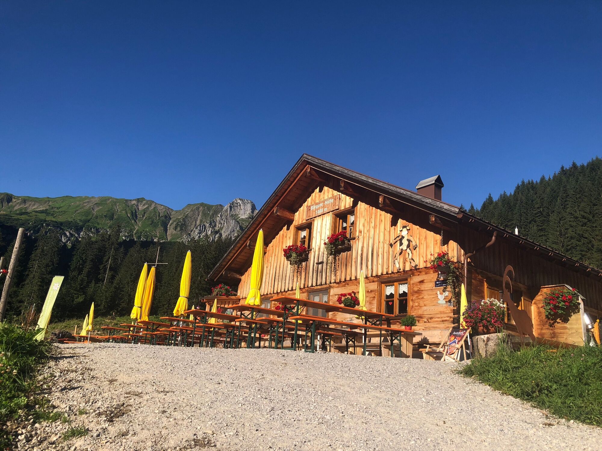
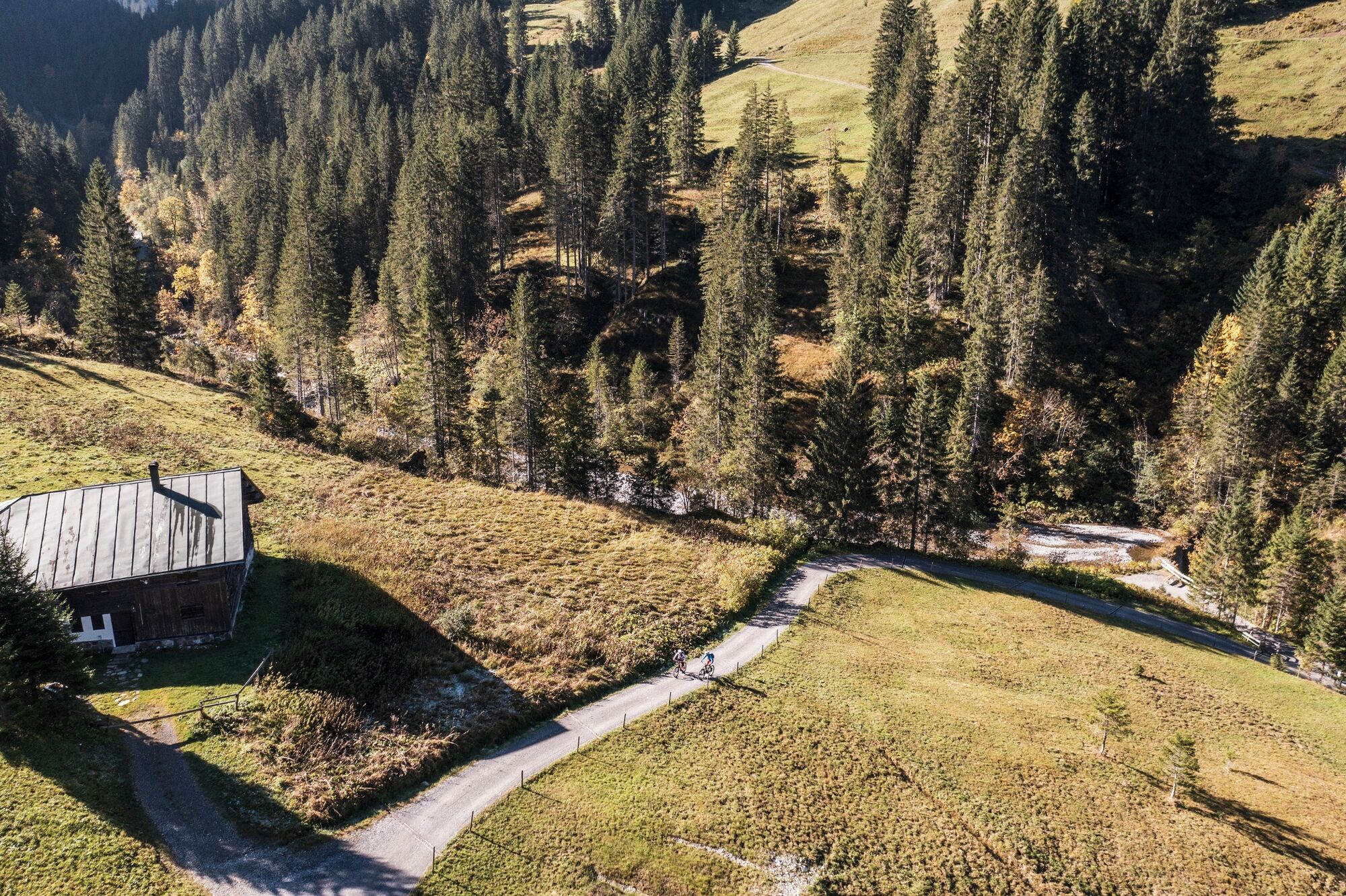
Easy round hike with refreshment stops on two pleasure huts
- Difficoltà
-
facile
- Valutazione
-
- Percorso
-
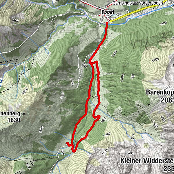
Baad (1.244 m)0,0 kmBärgunt-Hütte (1.408 m)2,1 kmAlpe Widderstein (1.376 m)3,4 kmBaad (1.244 m)4,7 km
- La stagione migliore
-
genfebmaraprmaggiulugagosetottnovdic
- Punto più alto
- 1.402 m
- Destinazione
-
Baad
- Profilo altimetrico
-

- Autore
-
Il tour Bärgunttal è utilizzato da outdooractive.com fornito.
GPS Downloads


Info generali
Punto di ristoro
Altri tour nelle regioni


