
Dati percorsi
14,4km
1.256
- 2.649m
1.732hm
1.083hm
06:00h
- Descrizione rapida
-
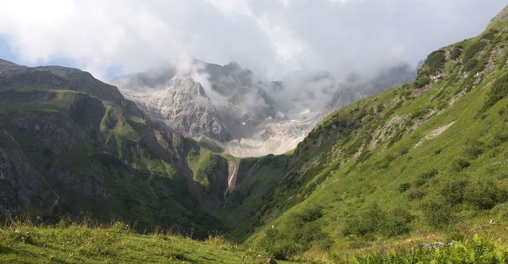
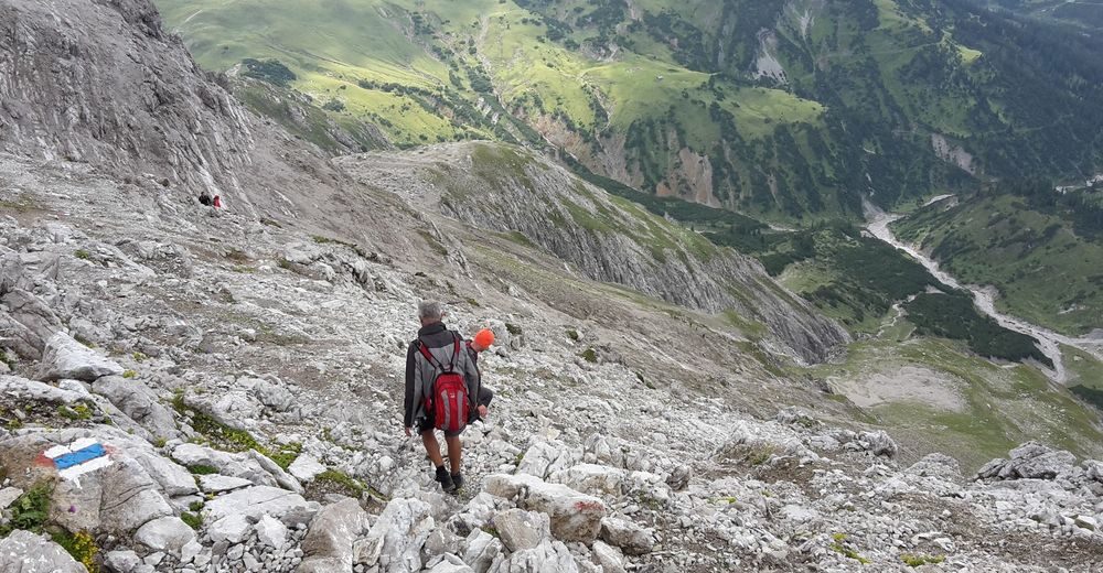
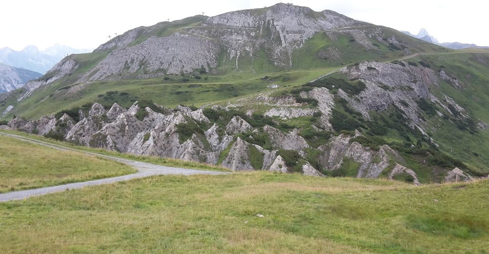
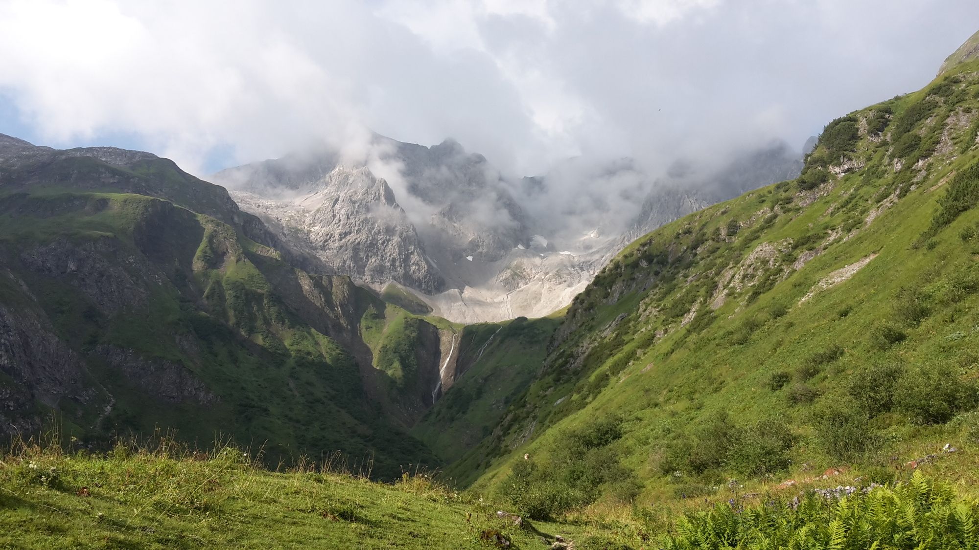
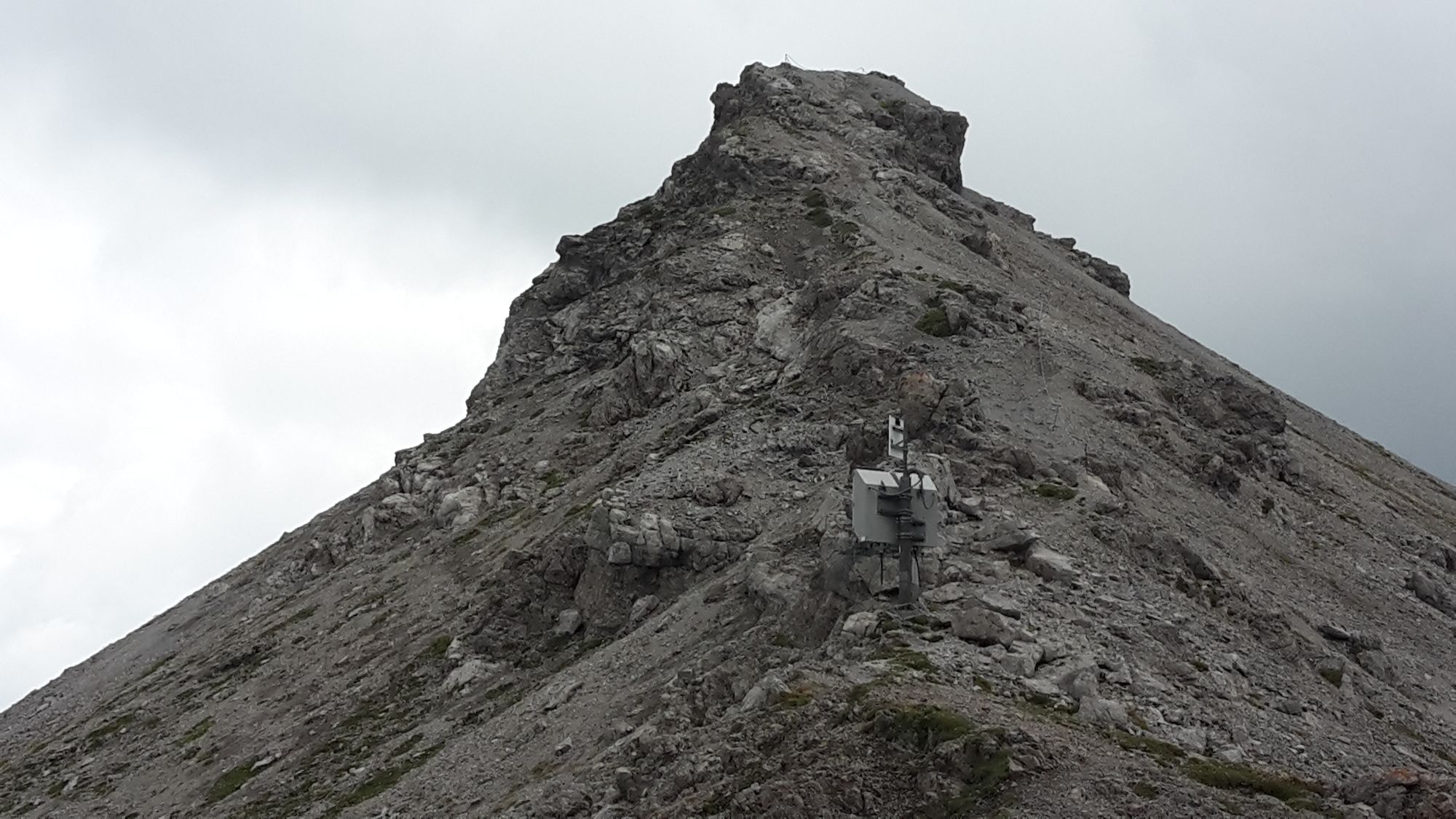
Von Schröcken übers Fürggele auf die Braunarlspitze (2649m) und über den Butzensee auf die Mohnenfluh (2542m). Abstieg nach Oberlech- Lech.
- Difficoltà
-
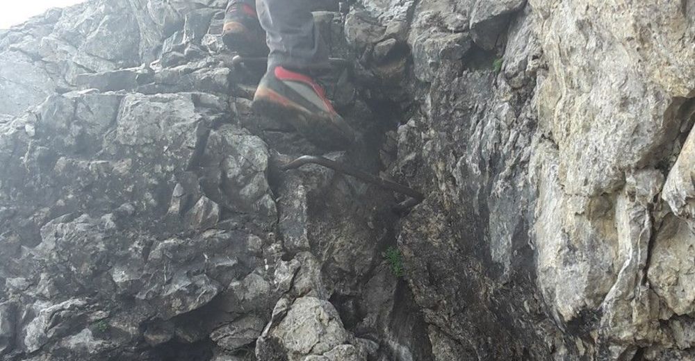
difficile
- Valutazione
-
- Punto di partenza
-
Schröcken, Bregenzerwald 1269m
- Percorso
-
Schröcken (1.269 m)Fürggele (2.145 m)4,6 kmBraunarlspitze (2.649 m)6,4 kmMohnenfluh (2.544 m)10,9 kmKriegeralpe13,6 kmPetersbodenbahn14,3 km
- La stagione migliore
-
genfebmaraprmaggiulugagosetottnovdic
- Punto più alto
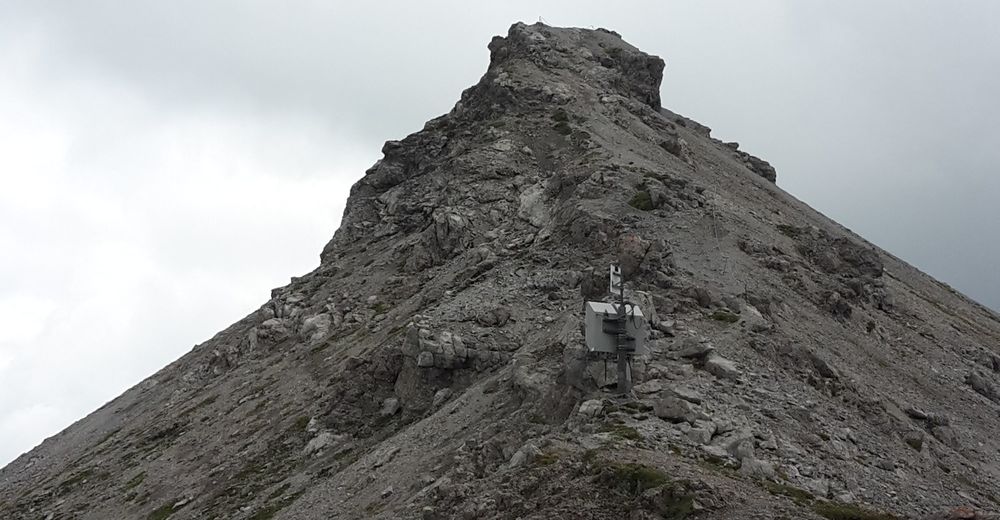
- Braunarlspitze (2.649 m)
- Destinazione
-
Oberlech- Lech/ Arlberg 1450m
- Riposo/Ritiro
-
Kriegeralpe in Oberlech, Bewirtschaftung im Sommer und Winter.
Gastronomie in den Talorten - Cartine
-
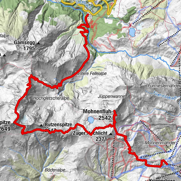
Kompass WK Nr. 33 Arlberg, Verwallgruppe


- Fonte
- schneeberglift
GPS Downloads


Condizioni dei sentieri
Asfalto
Ghiaia
Prato
Foresta
Roccia
Esposta
(Gipfelanst)
Altri tour nelle regioni


