

© Bregenzerwald Tourismus - Nadine Lerho

© Bregenzerwald Tourismus - Nadine Lerho

© Bregenzerwald Tourismus - Nadine Lerho

© Bregenzerwald Tourismus - Elisabeth Schneider

© Bregenzerwald Tourismus - Elisabeth Schneider

© Bregenzerwald Tourismus - Nadine Lerho

© Bregenzerwald Tourismus - Cornelia Kriegner

© Bregenzerwald Tourismus - Nadine Lerho

- Descrizione rapida
-
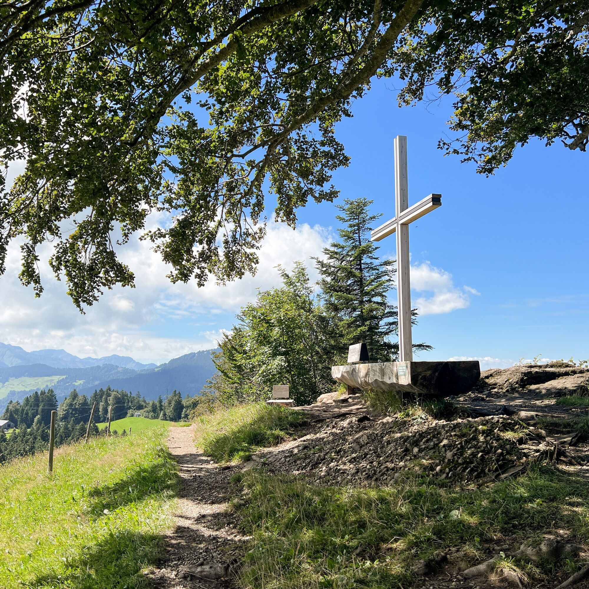
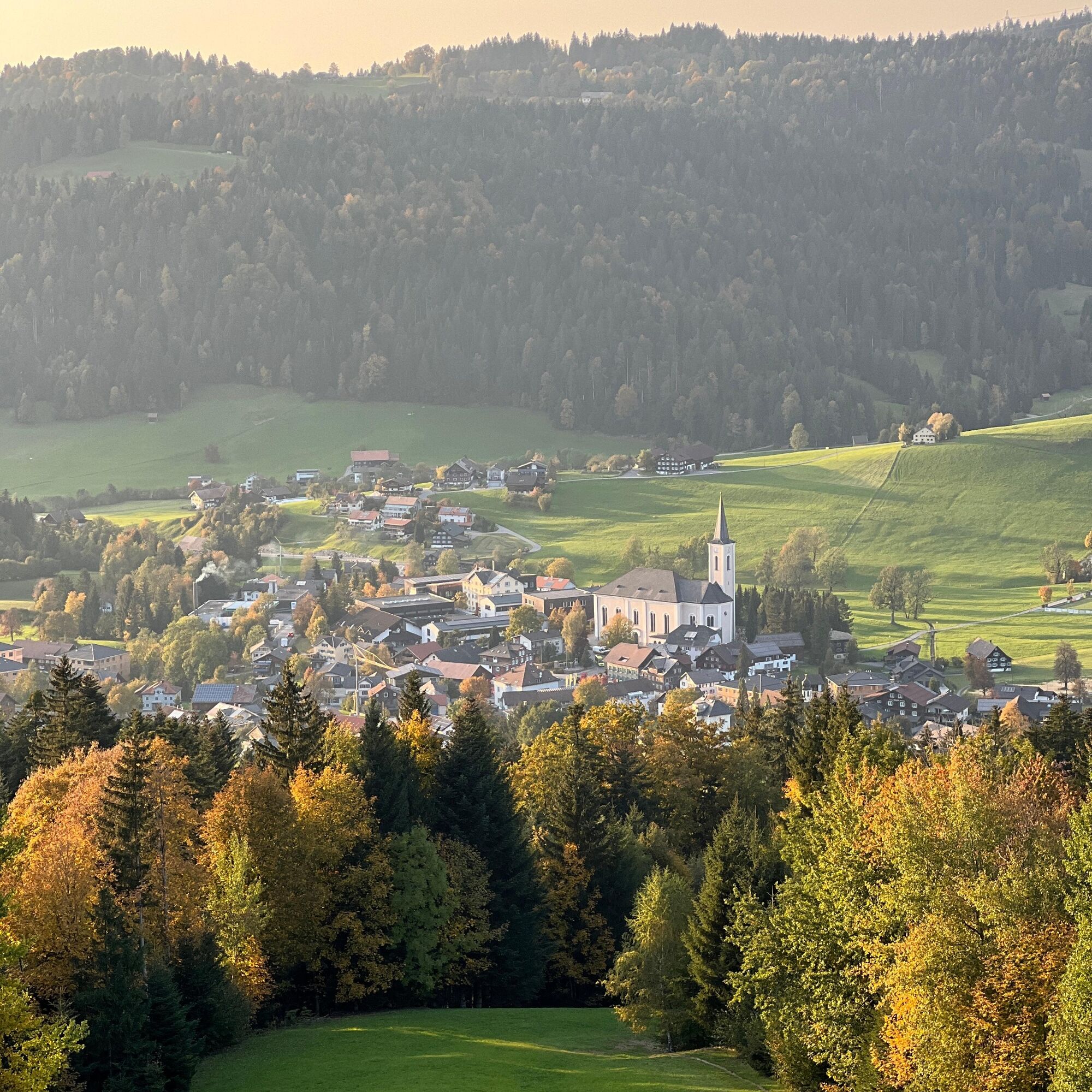
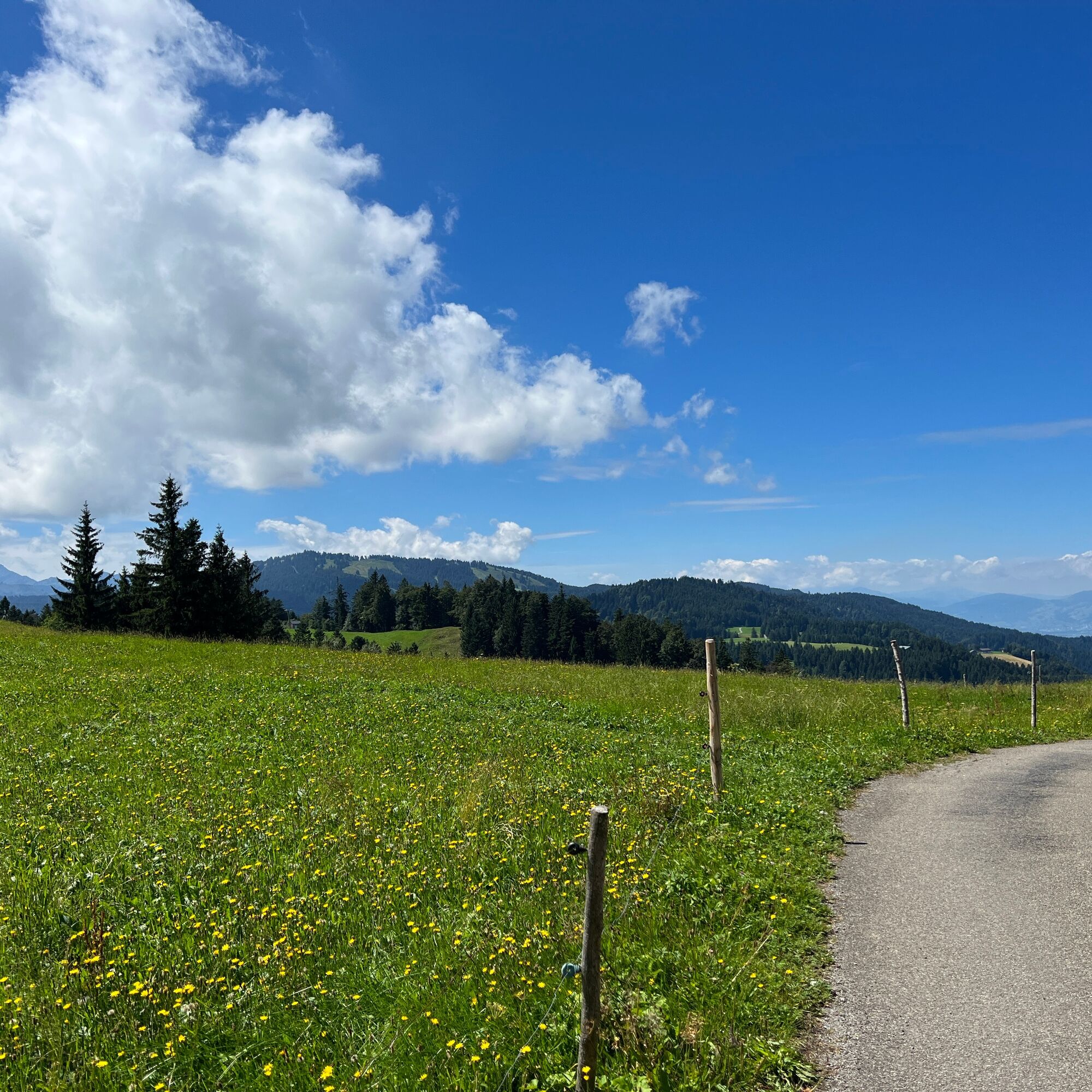
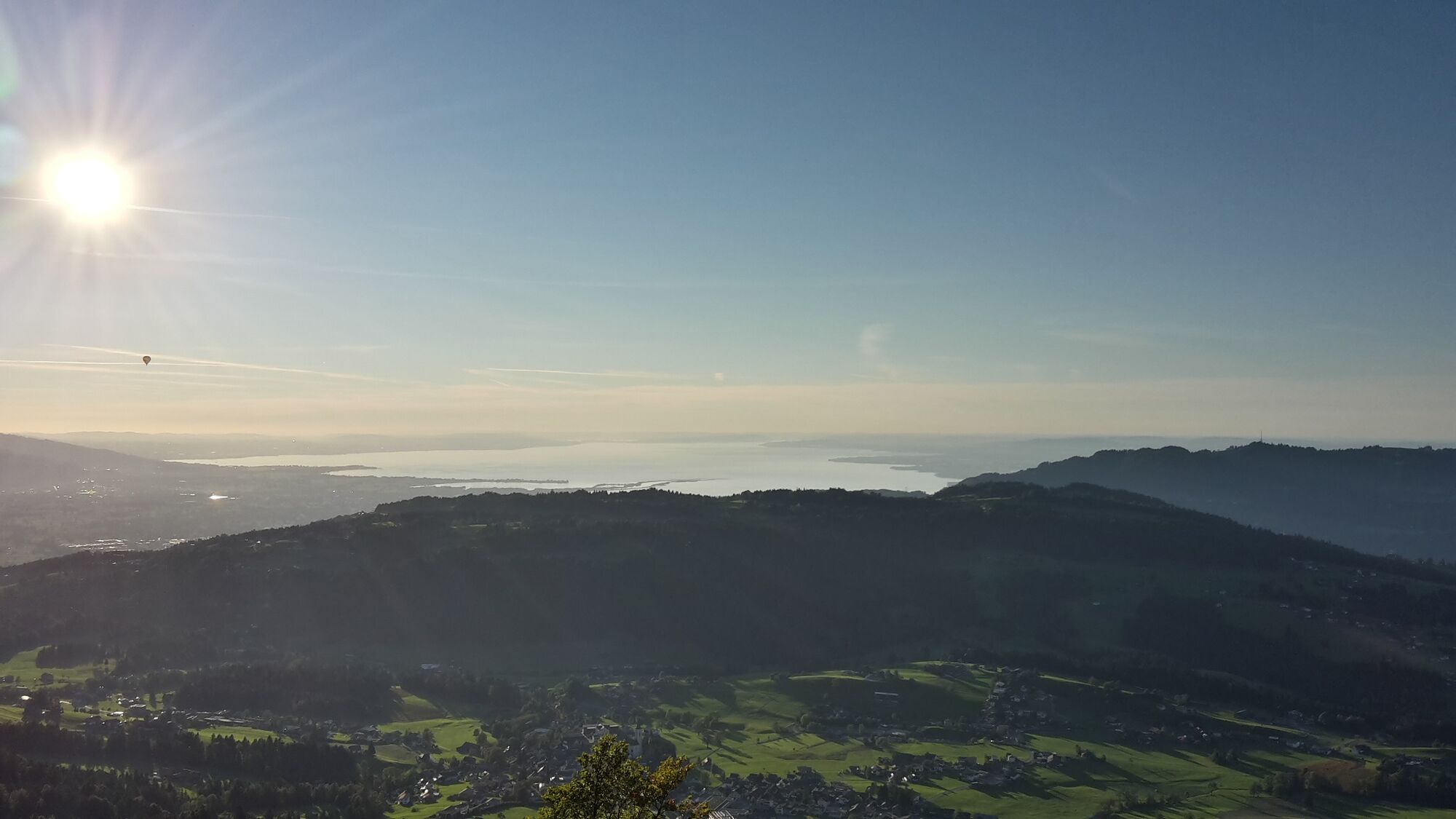
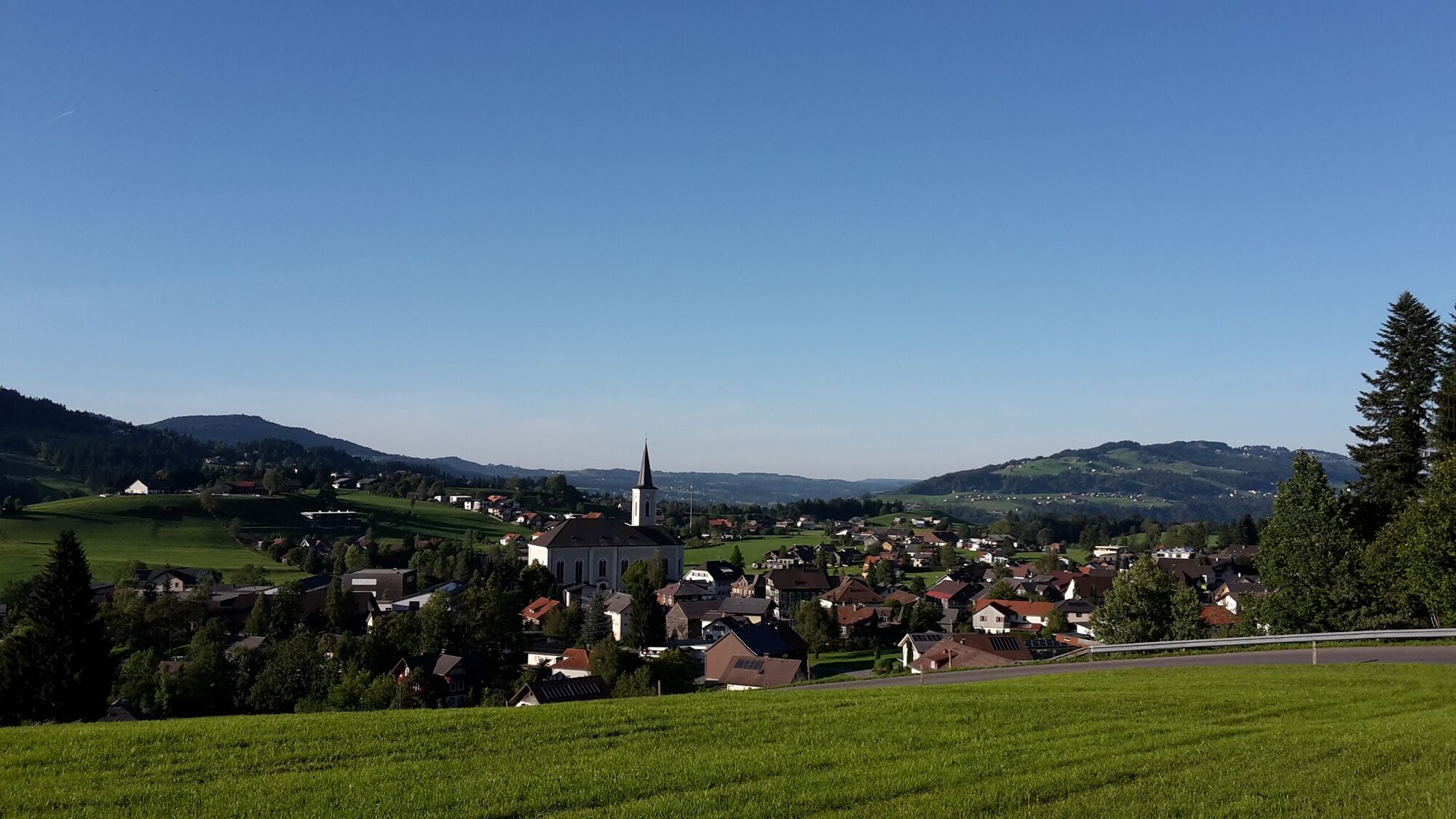
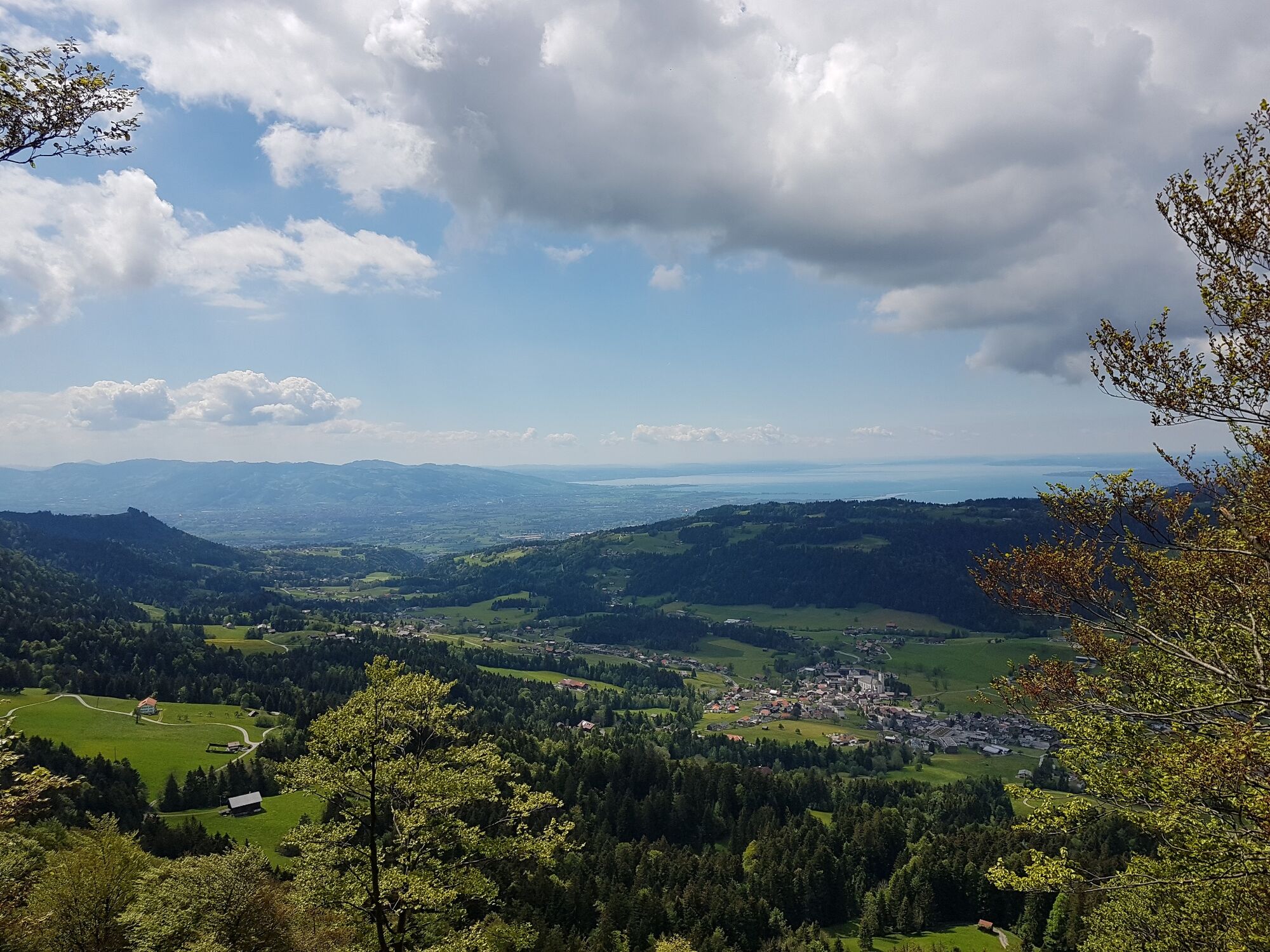
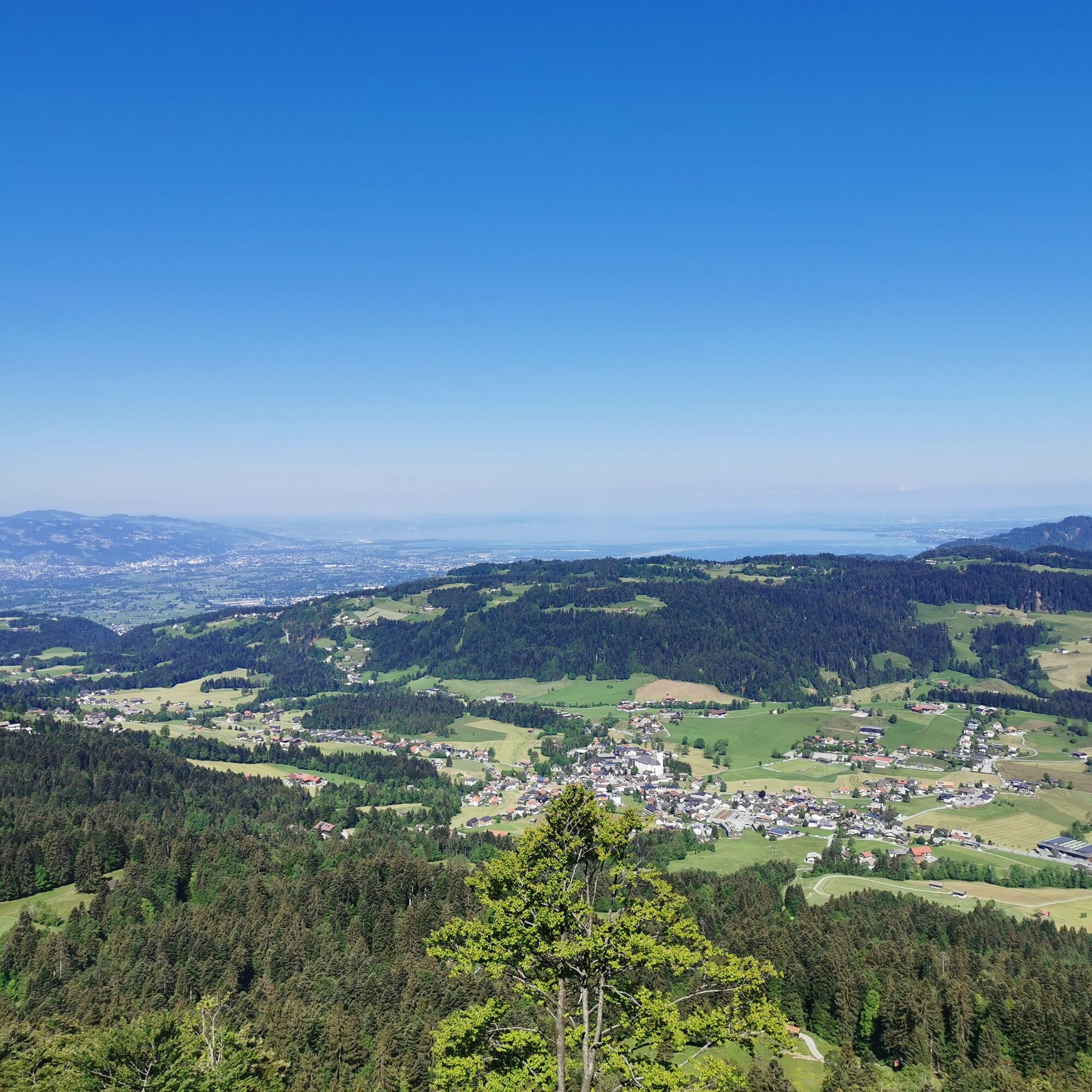
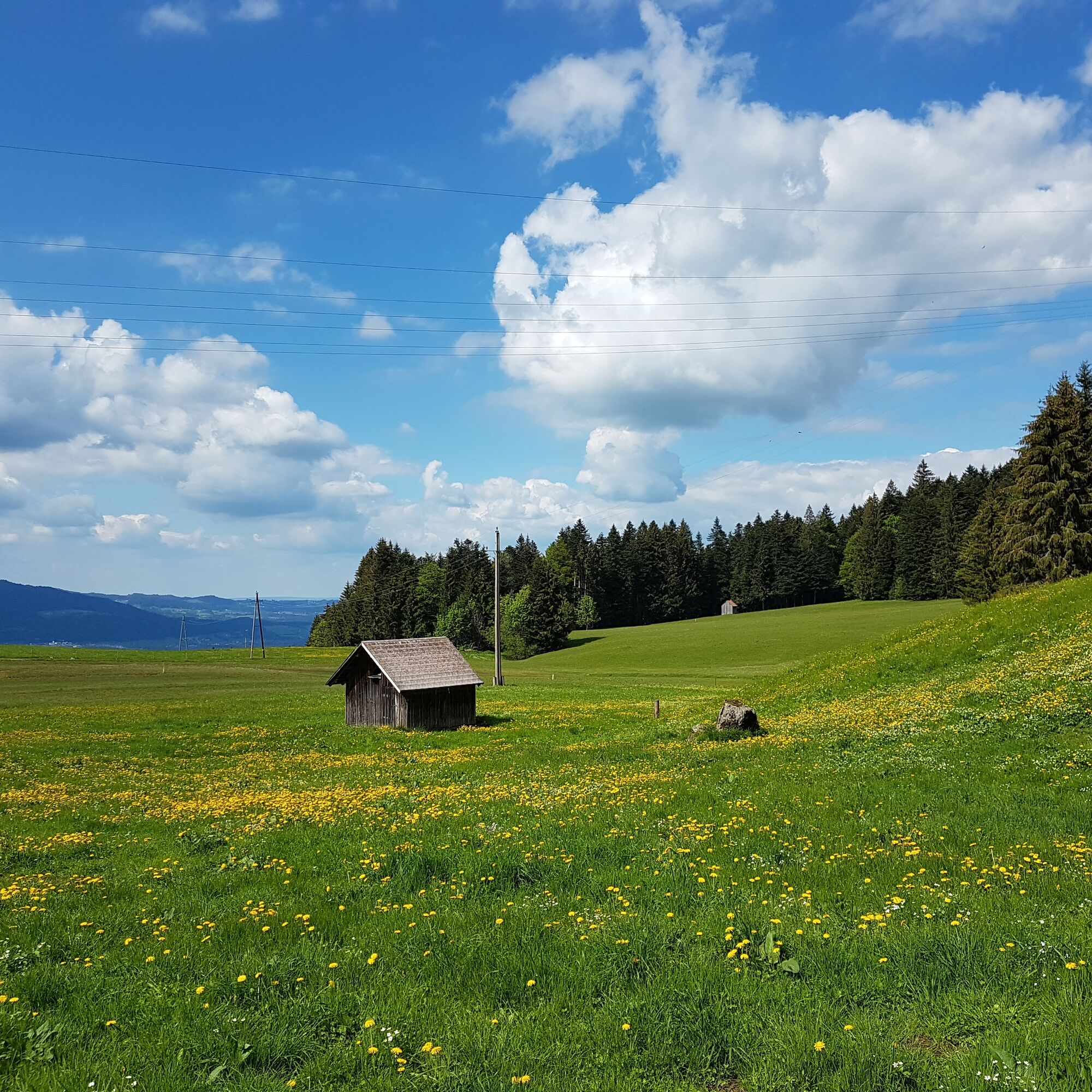
An easy and scenic hike of about 3 hours from Alberschwende village center to Kaltenbrunnen and then up to the Brüggelekopf with its magnificent view.
- Difficoltà
-
facile
- Valutazione
-
- Percorso
-
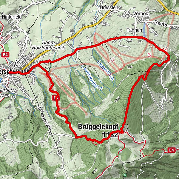
HofAlberschwende0,0 kmWirtshaus zur Taube0,0 kmWendelinkapelle0,1 kmZipfel0,3 kmBühel0,5 kmTannen1,9 kmBrüggelekopf (1.182 m)4,0 kmAlpengasthof Brüggele4,3 kmBühel6,5 kmZipfel6,7 kmWendelinkapelle6,9 kmWirtshaus zur Taube7,0 kmHof7,0 kmAlberschwende7,0 km
- La stagione migliore
-
genfebmaraprmaggiulugagosetottnovdic
- Punto più alto
- 1.177 m
- Destinazione
-
Alberschwende cable car station
- Profilo altimetrico
-

- Autore
-
Il tour Alberschwende | Brüggelekopf è utilizzato da outdooractive.com fornito.
GPS Downloads


Info generali
Punto di ristoro
Culturale/Storico
Promettente
Altri tour nelle regioni
-
St. Gallen - Bodensee
2066
-
Bregenzerwald
2295
-
Alberschwende
576


