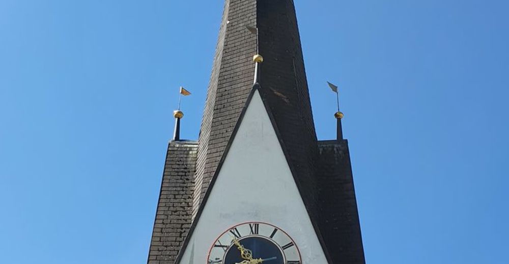
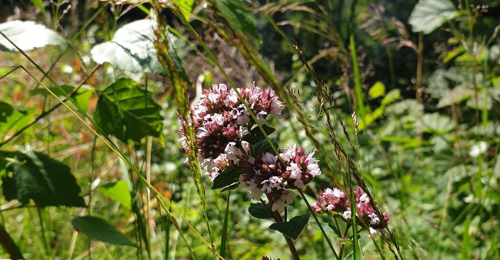
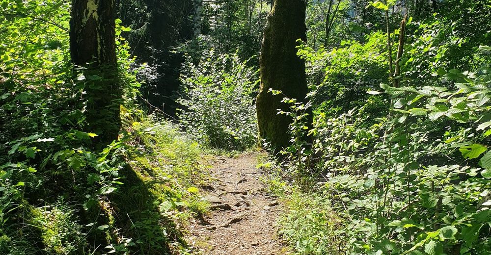
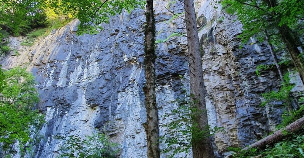
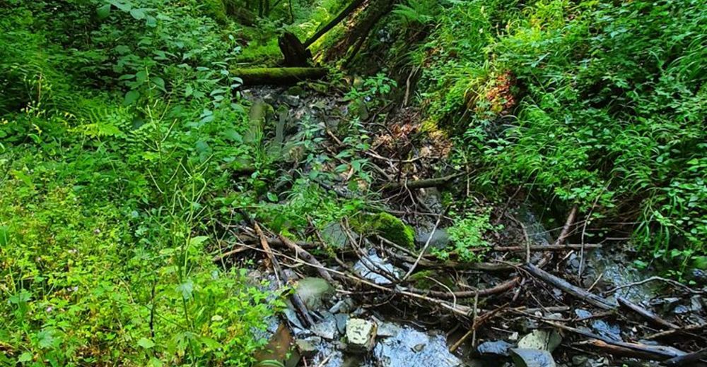
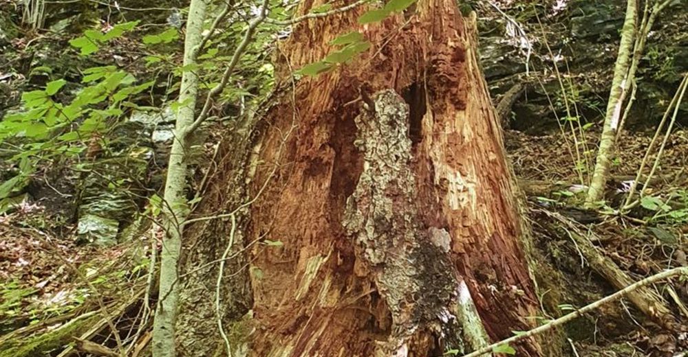
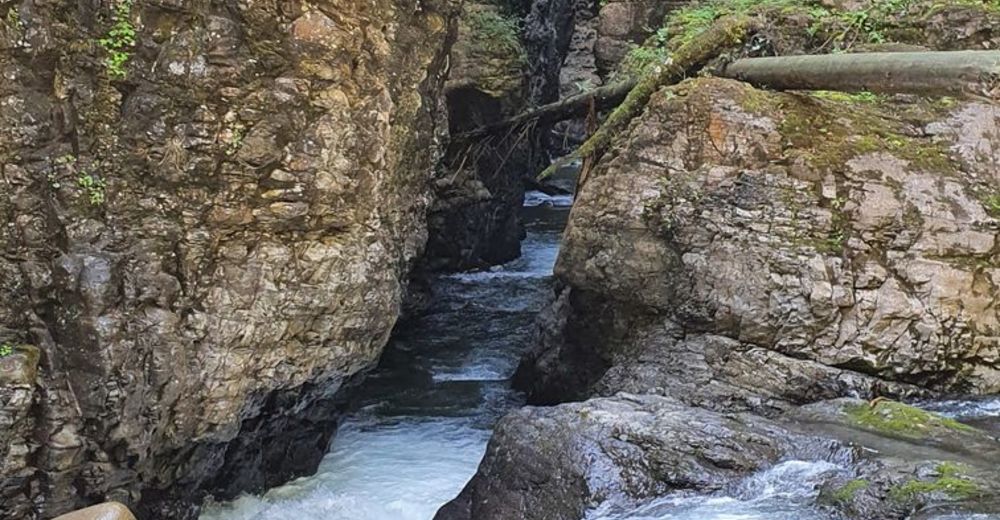
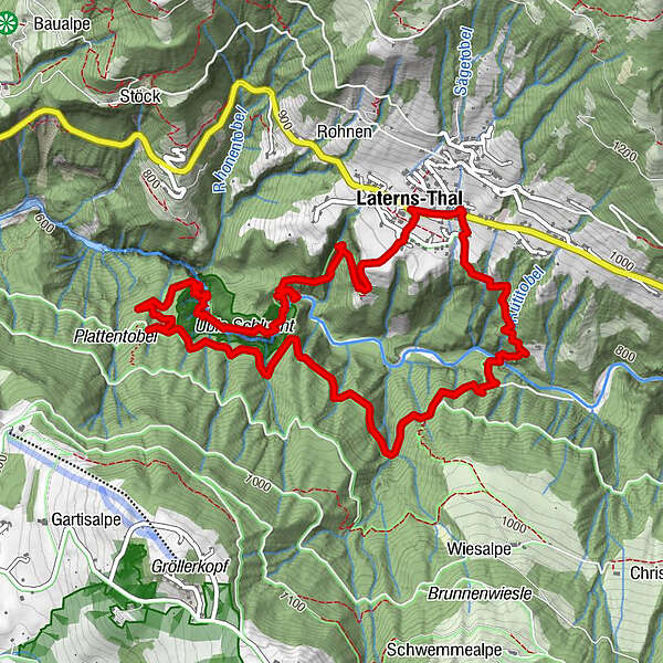
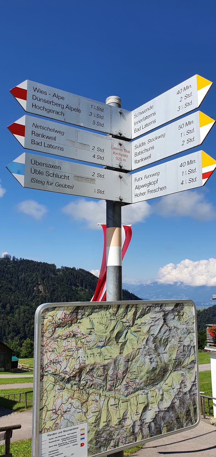
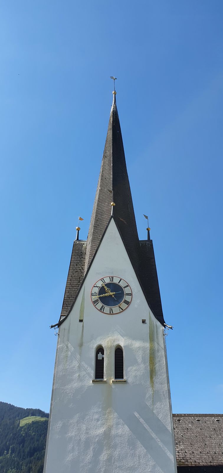
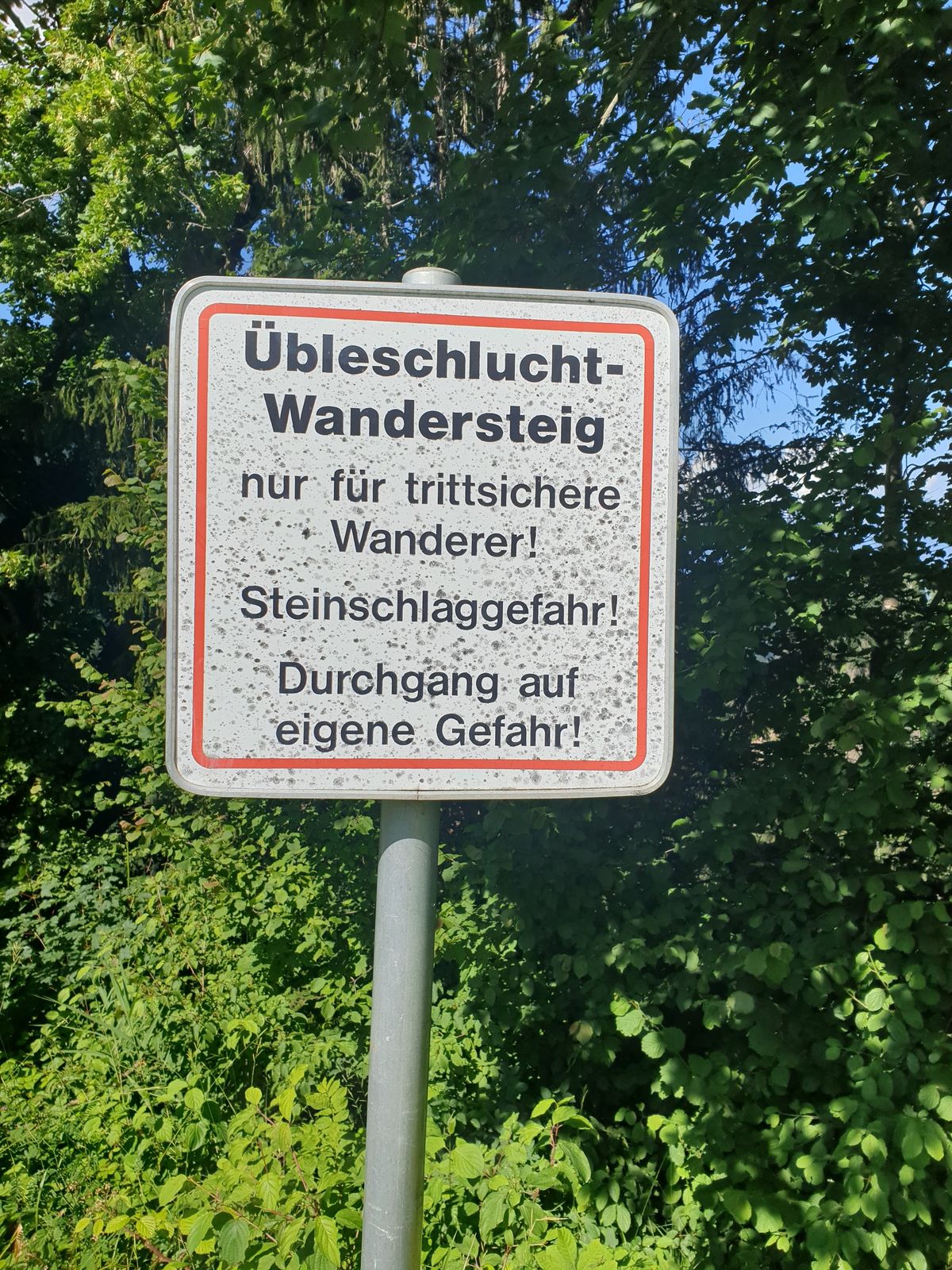
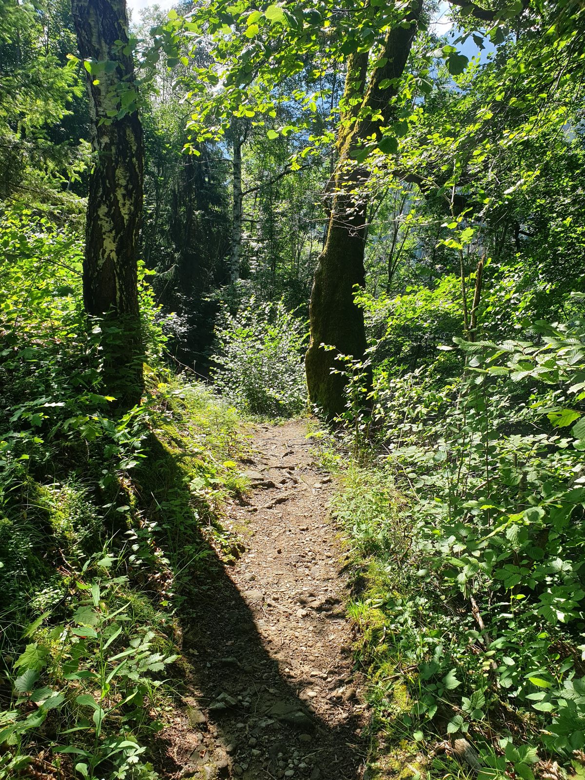
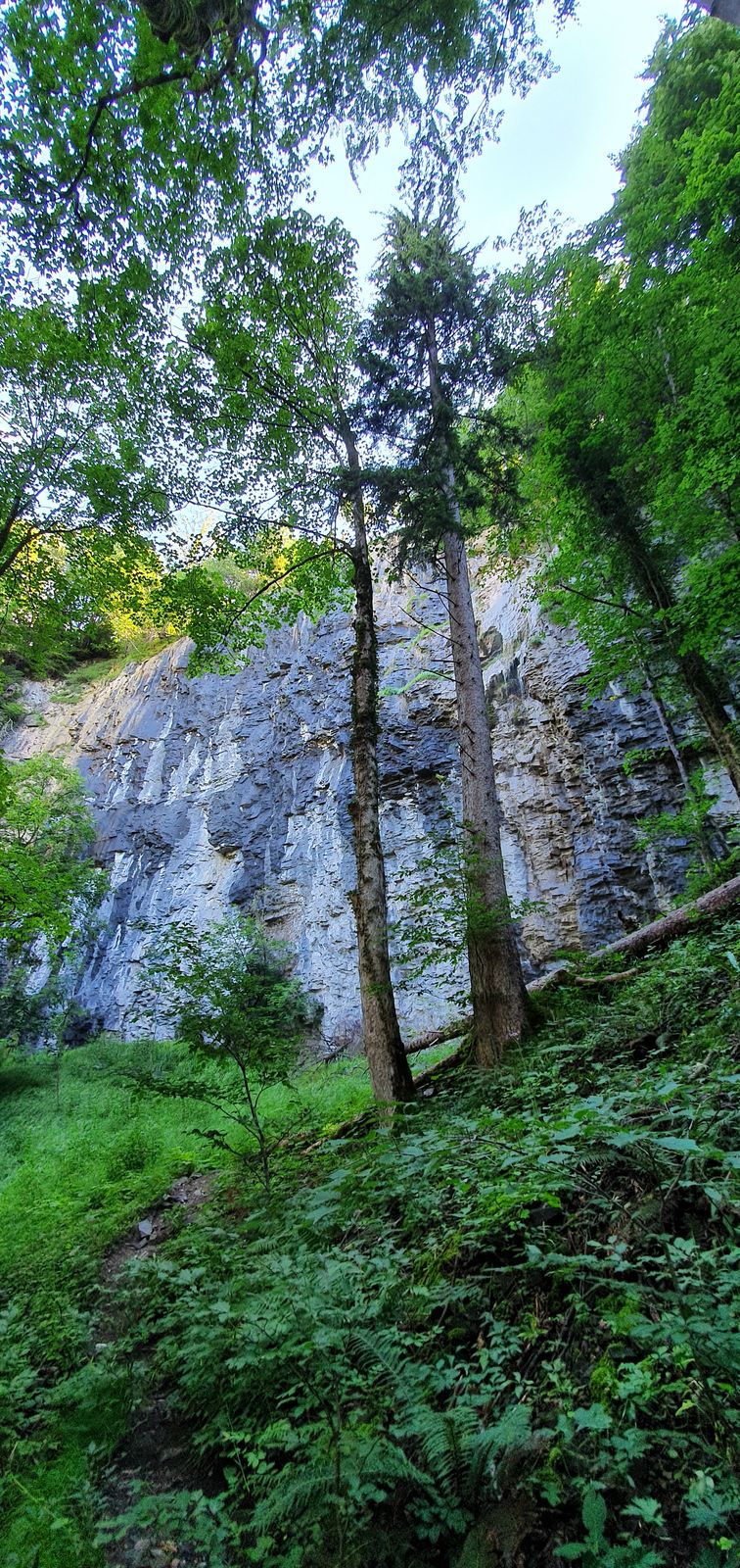
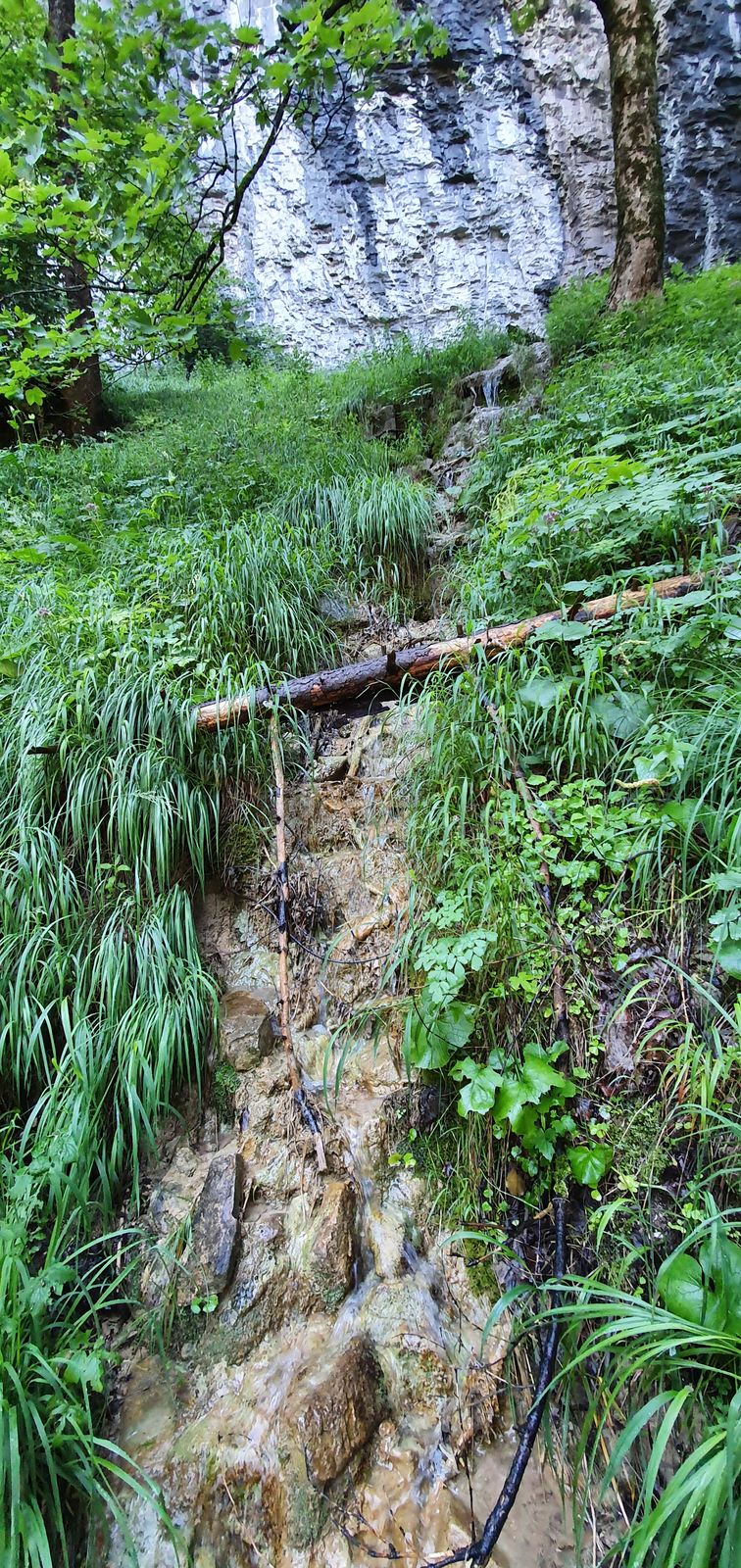
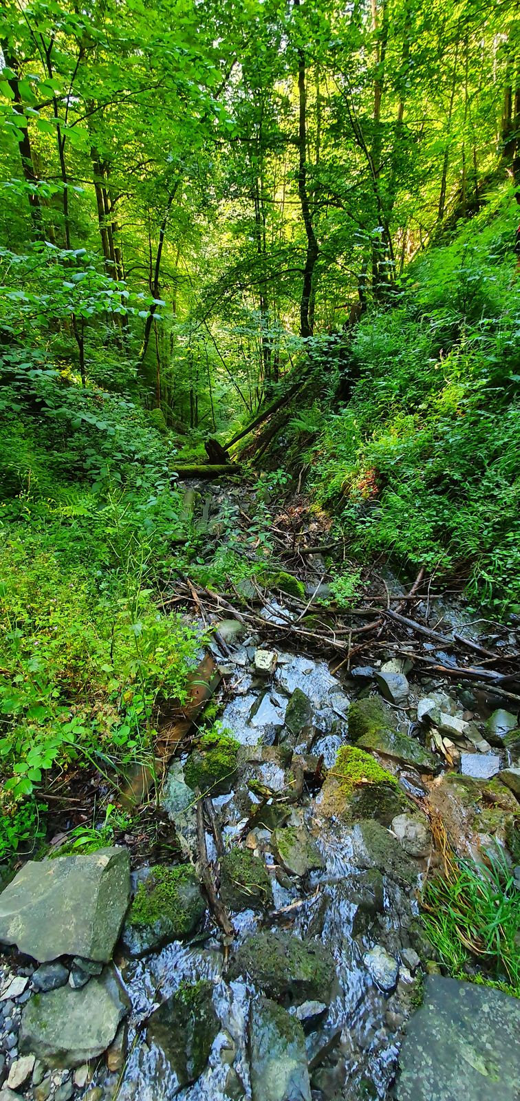
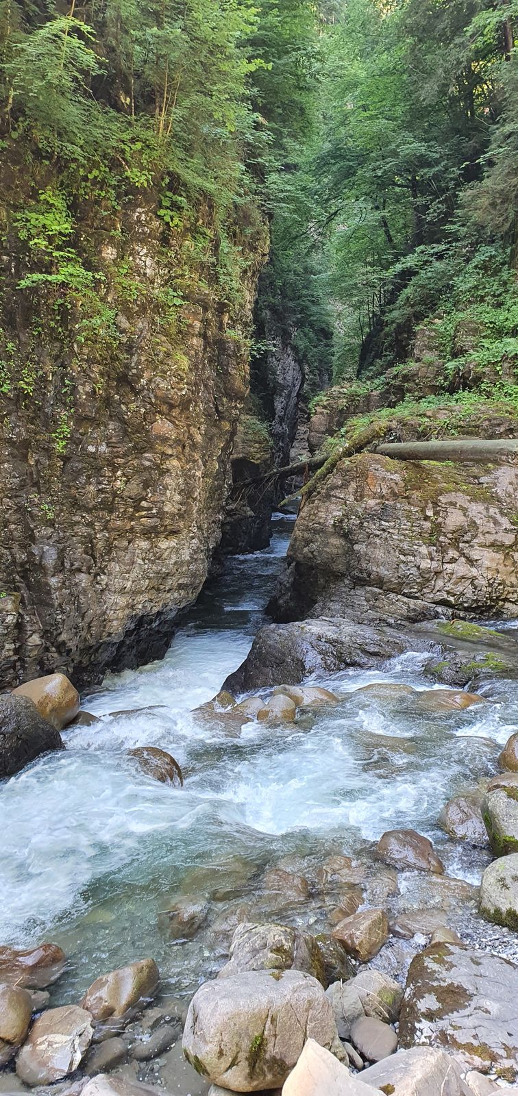
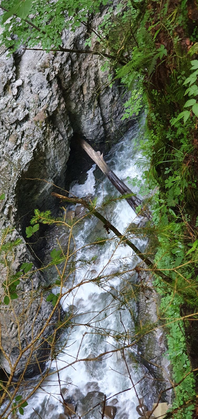
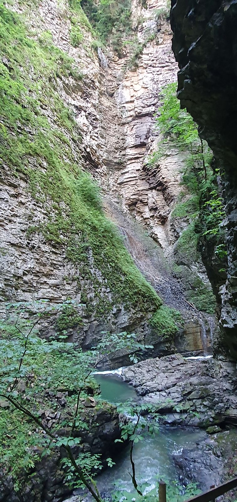
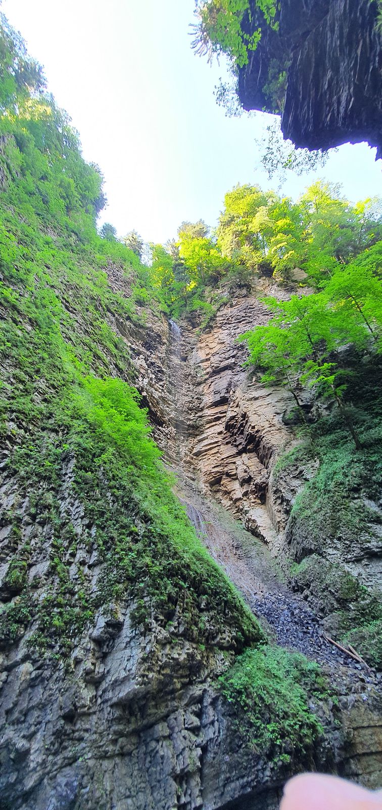
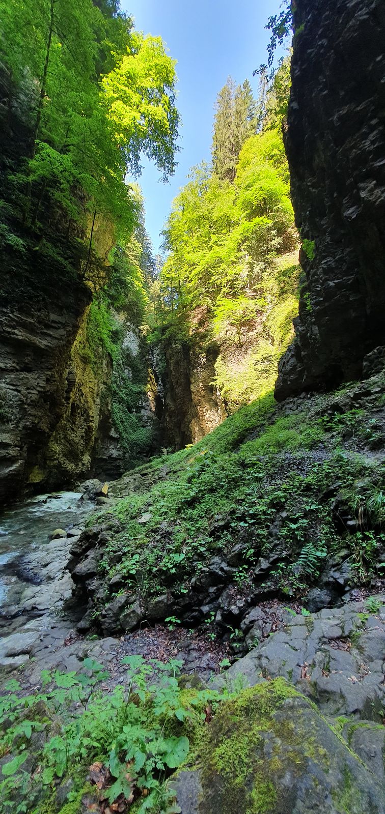
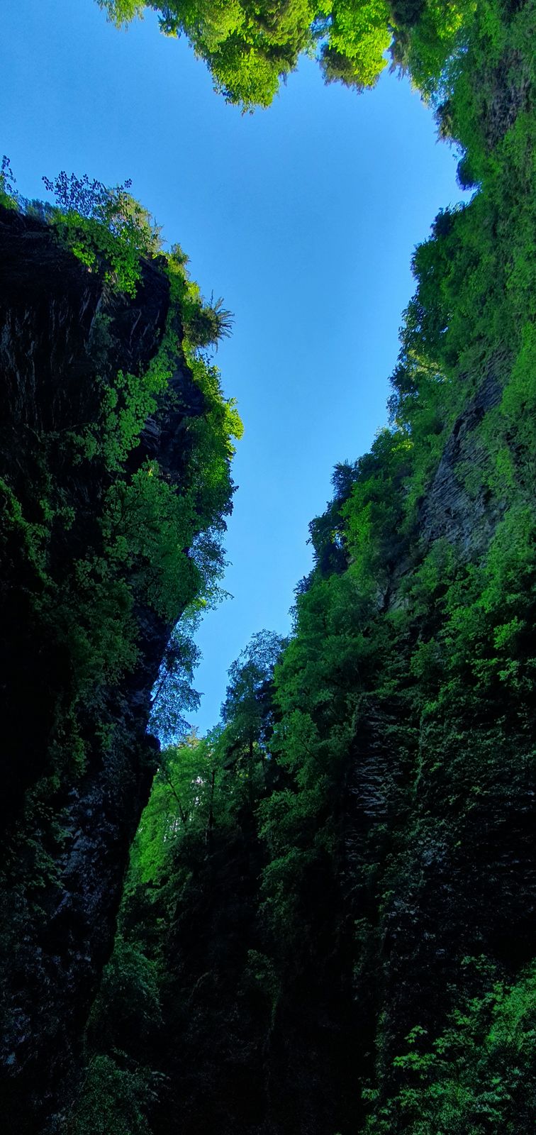
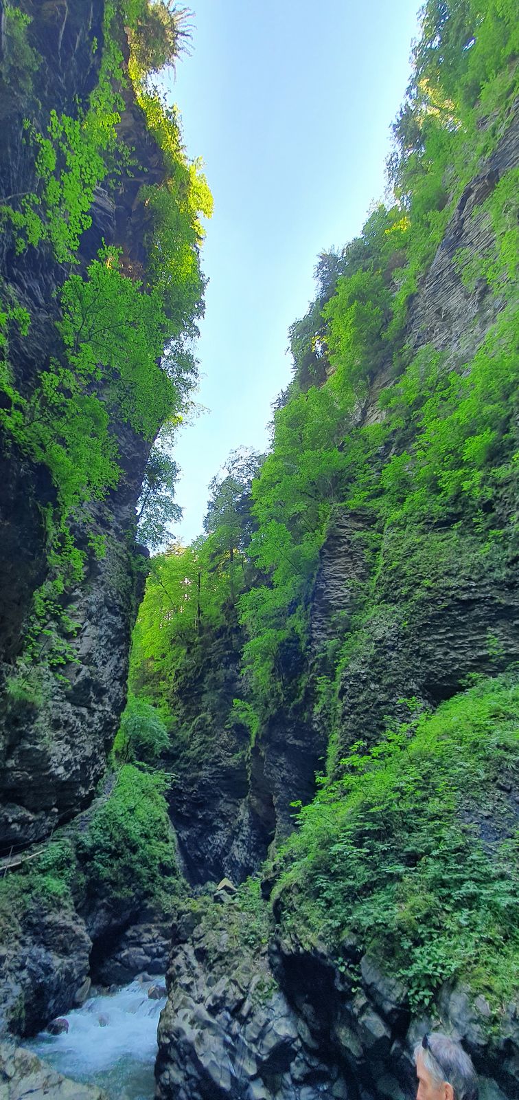
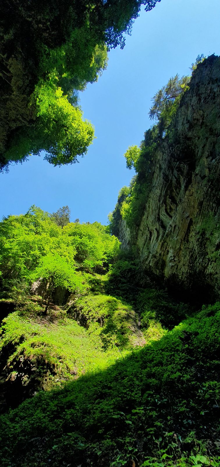
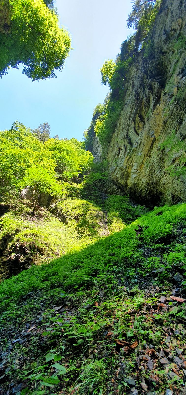
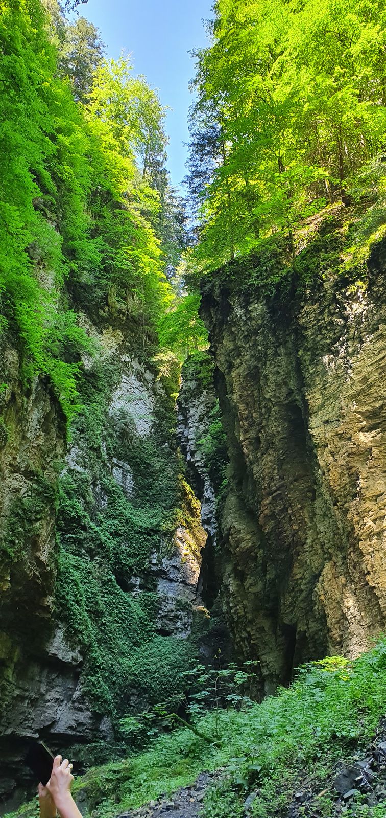
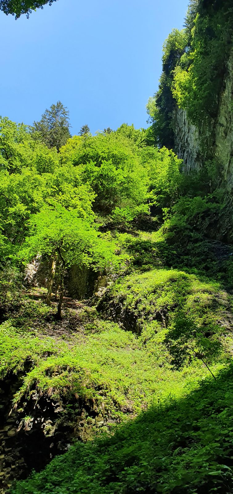
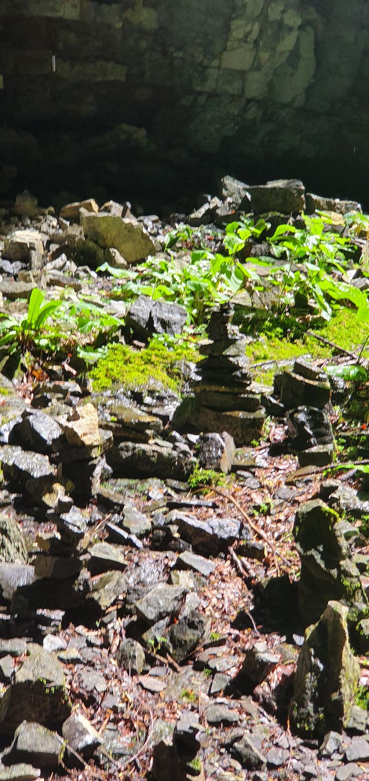
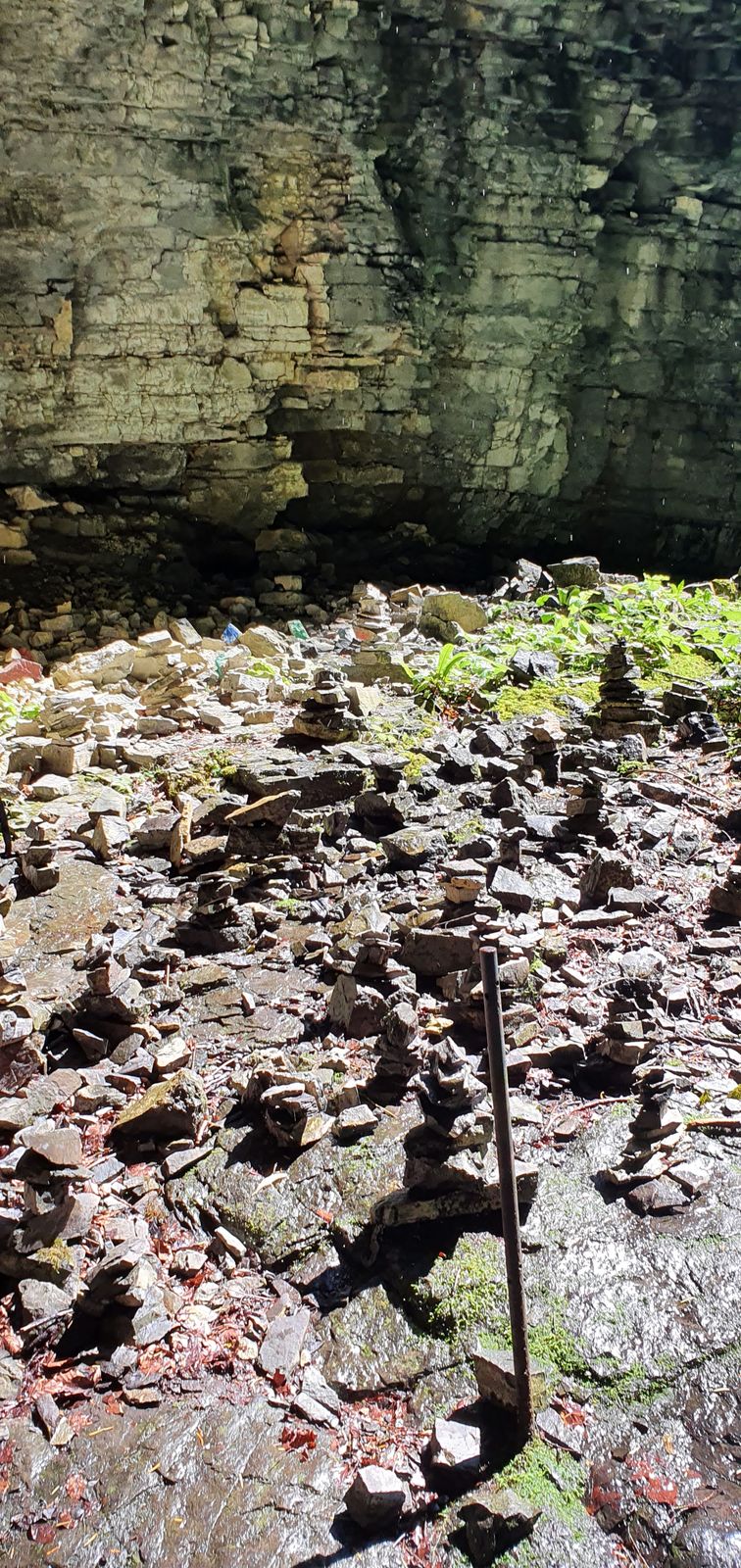
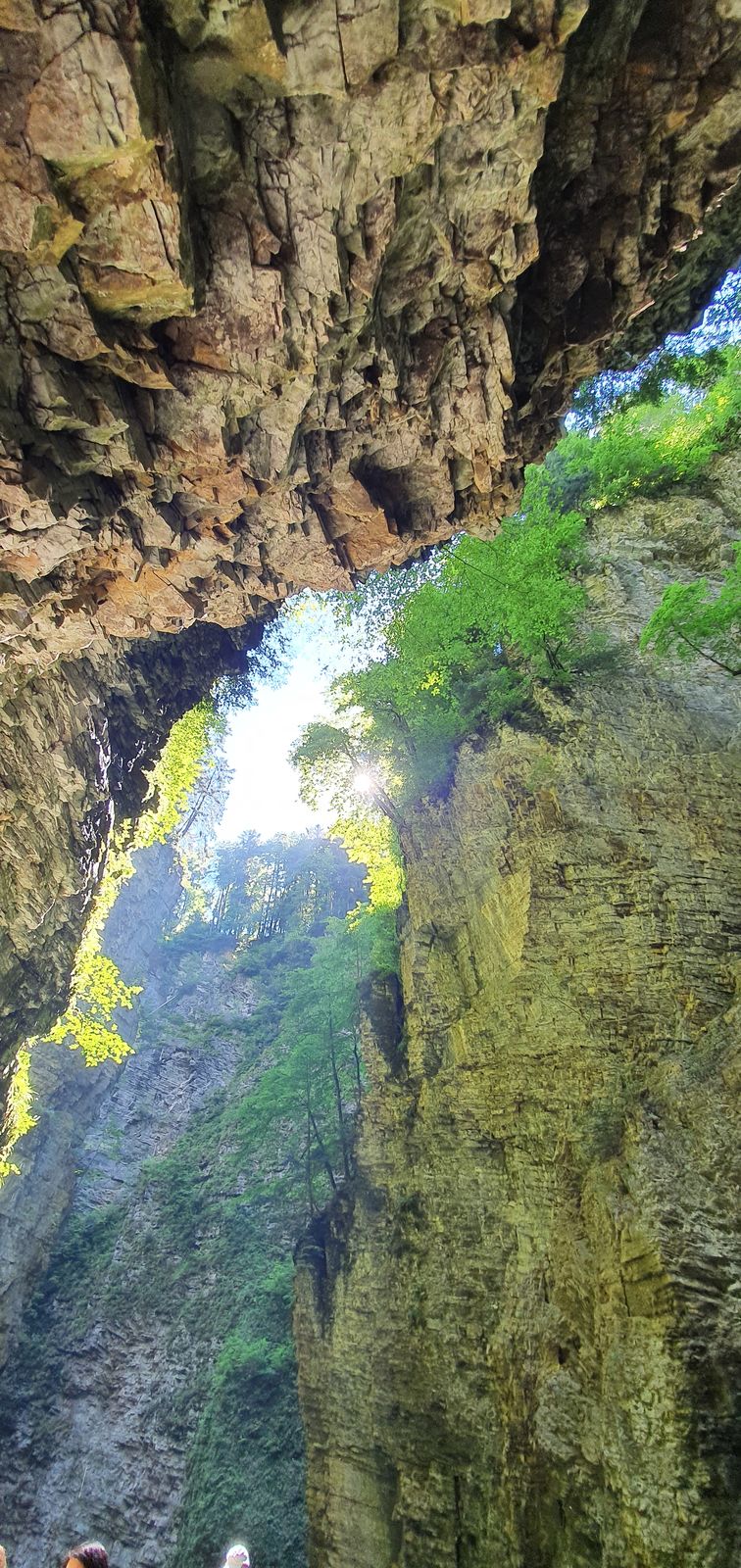
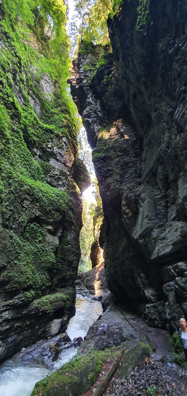
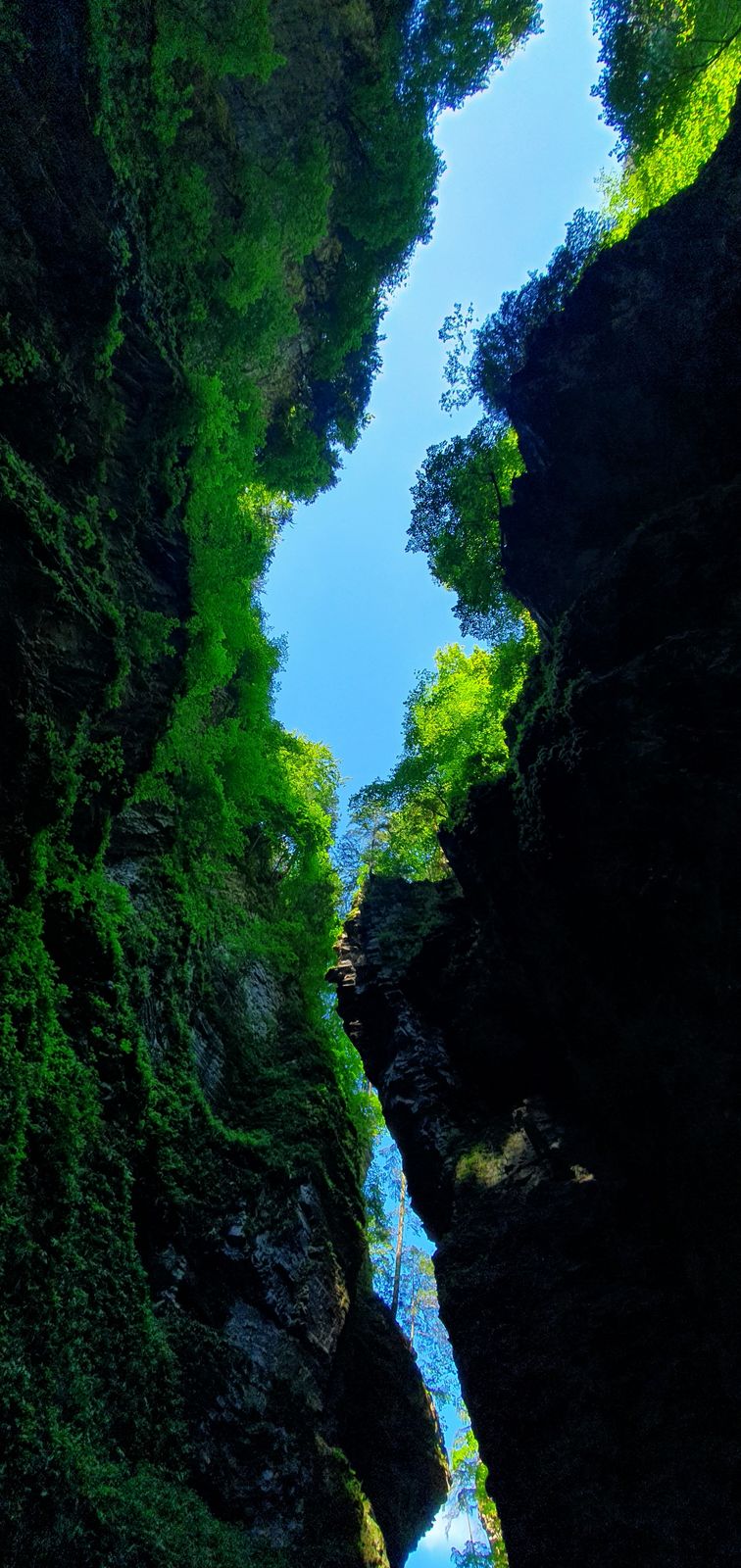
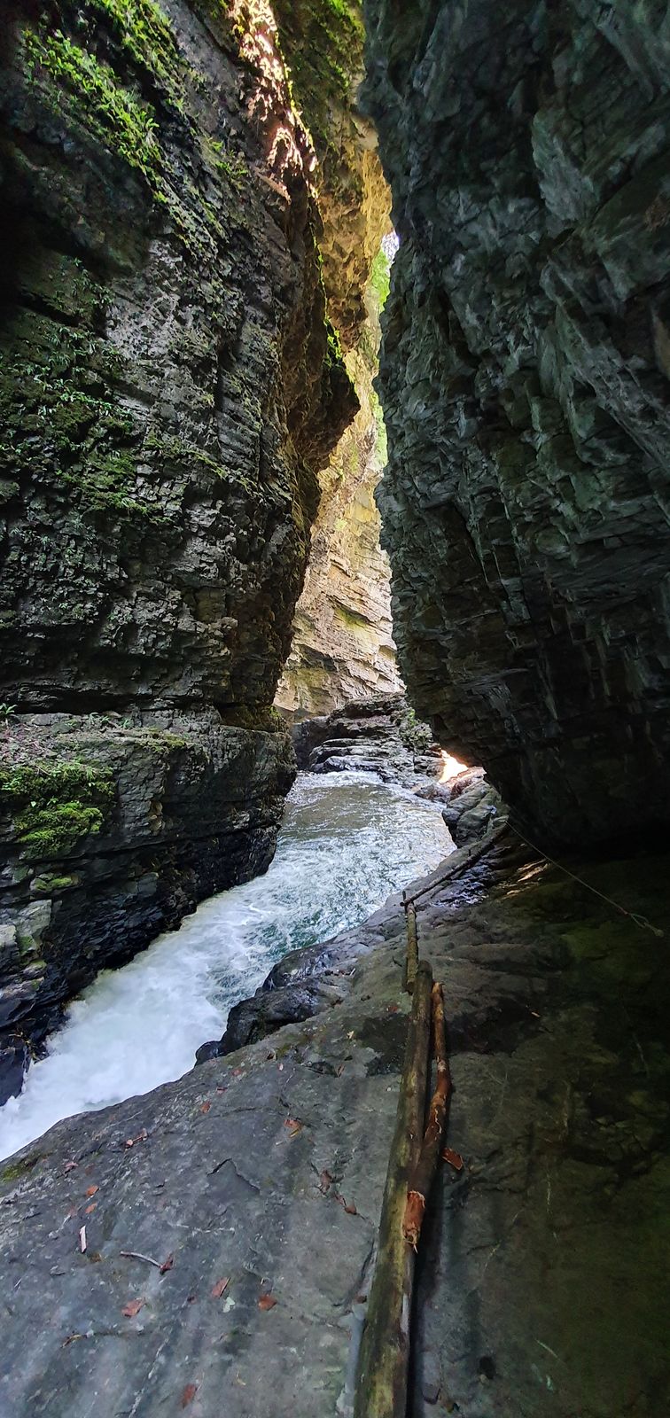
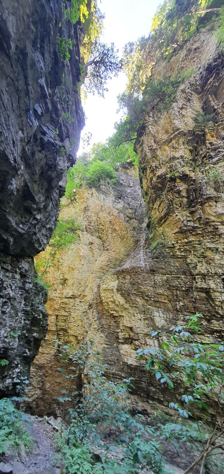
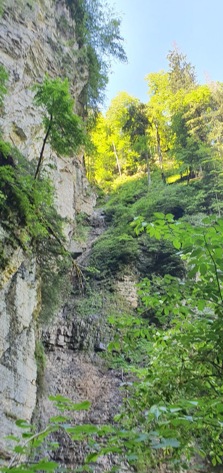
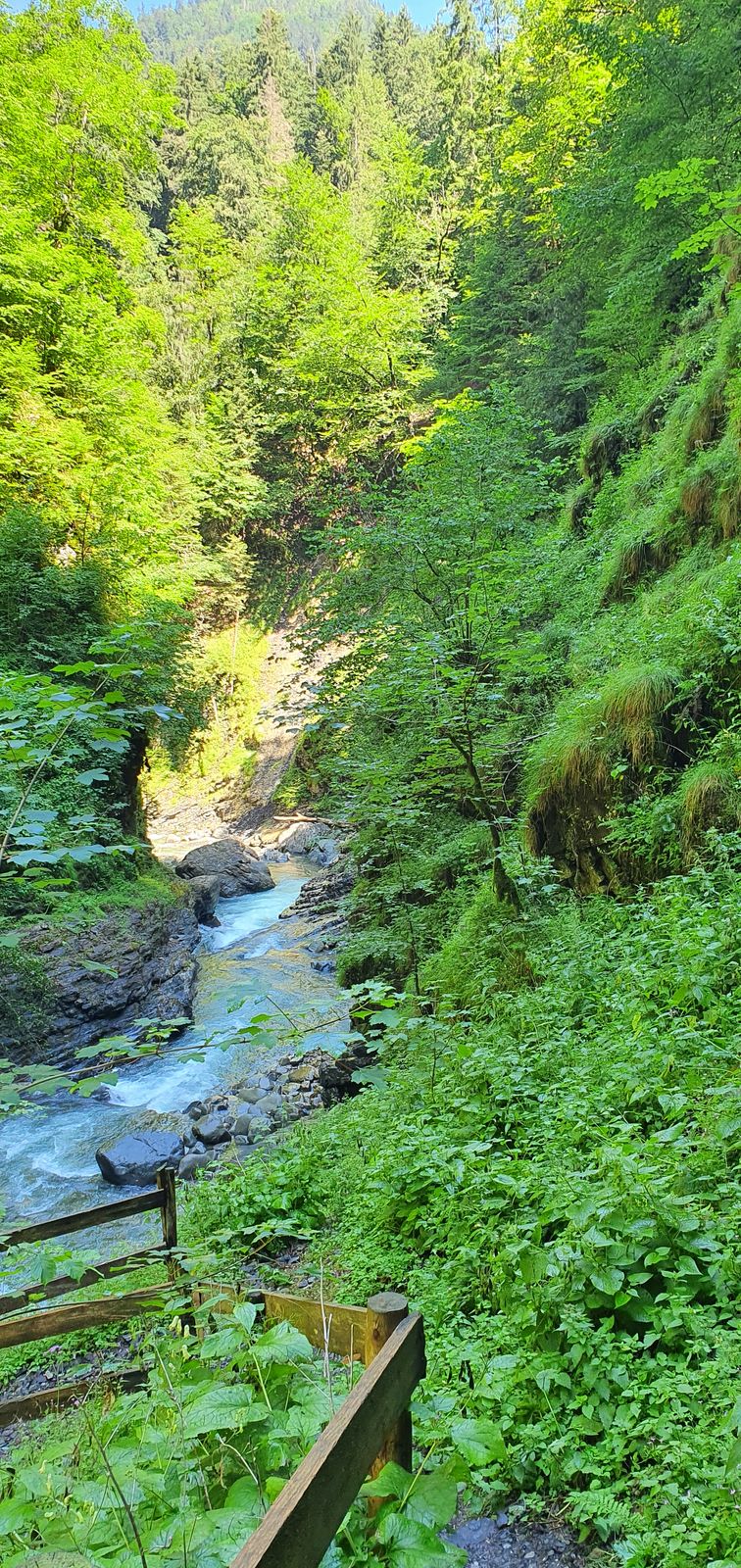
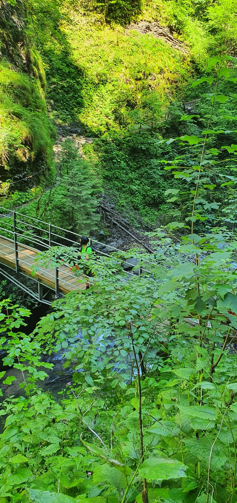
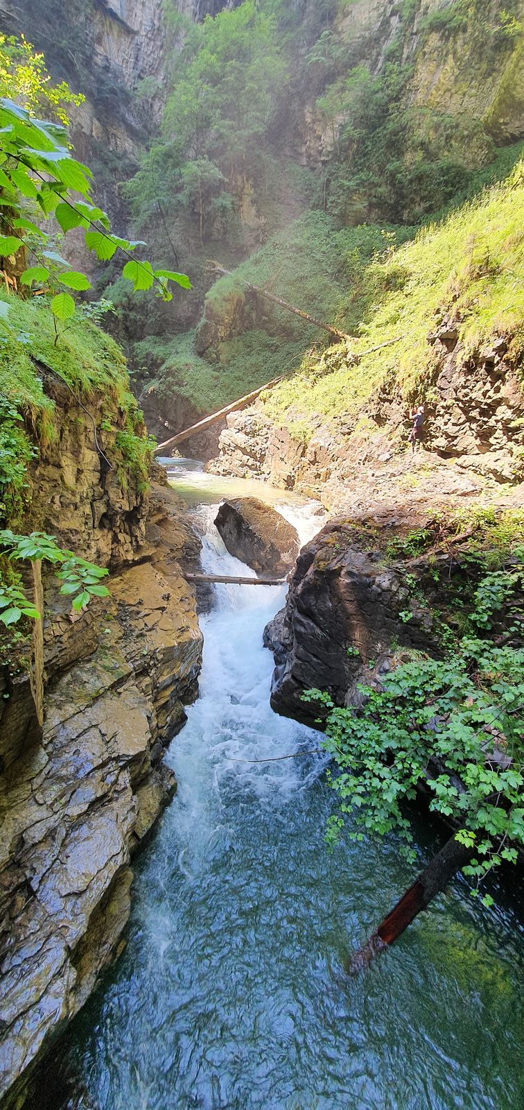
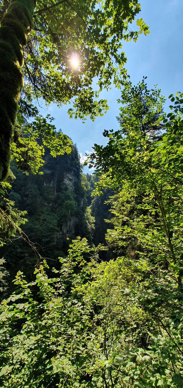
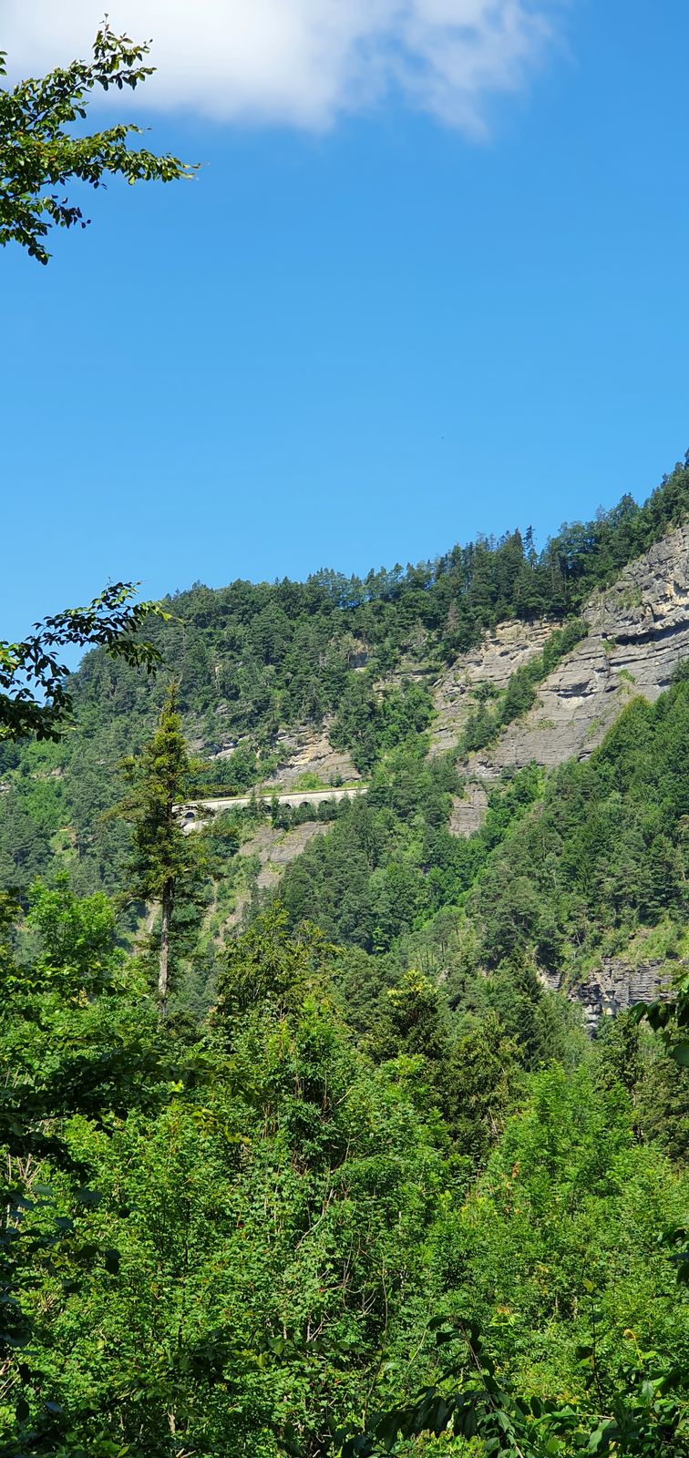
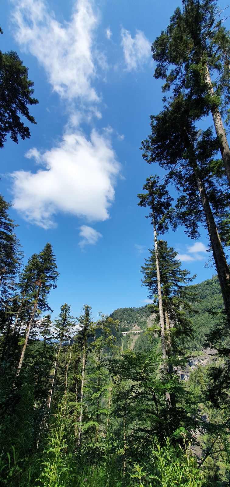
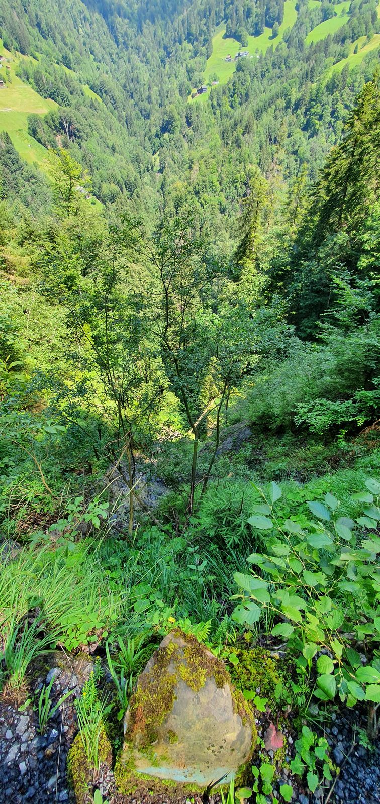
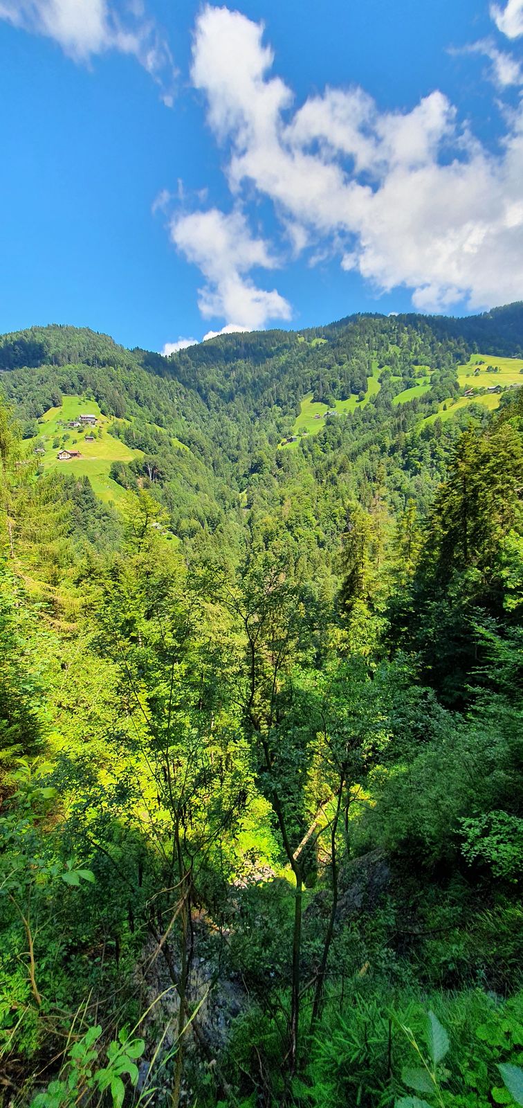
Üble Schlucht / Laterns Laterns, Vorarlberg

Escursionismo


Dati percorsi
6,65km
- 935m
1.420hm
490hm
02:26h
- Difficoltà
-
intermedio
- Valutazione
-
- Percorso
-
Hl. Nikolaus0,1 kmLaterns-Thal0,2 kmOb der Üble-Schlucht3,2 kmKrömerstobel5,0 km
- Punto più alto
- 935 m


GPS Downloads


Altri tour nelle regioni
-
St. Gallen - Bodensee
2067
-
Alpenregion Vorarlberg
1773
-
Übersaxen
342


