
Dati percorsi
6,49km
1.485
- 2.068m
507hm
545hm
02:30h

- Descrizione rapida
-
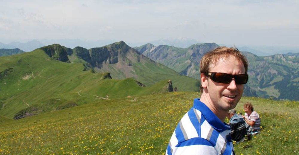
Gipfeltour für geübte, schwindelfreie und trittsichere Wanderer mit guter Kondition.
- Difficoltà
-
intermedio
- Valutazione
-
- Punto di partenza
-
Seilbahnen Faschina
- Percorso
-
FaschinaHahnenkopf (1.772 m)0,6 kmGlatthorn (2.133 m)3,0 kmFranz-Josef-Hütte4,8 kmFaschina6,3 kmDSB Stafelalpe6,4 km
- La stagione migliore
-
genfebmaraprmaggiulugagosetottnovdic
- Punto più alto
- 2.068 m
- Riposo/Ritiro
-
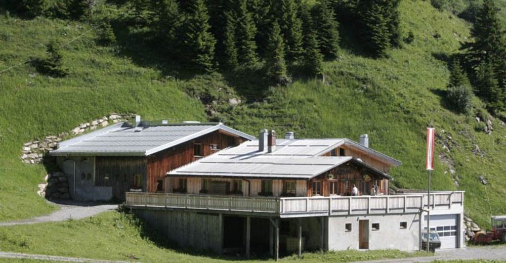
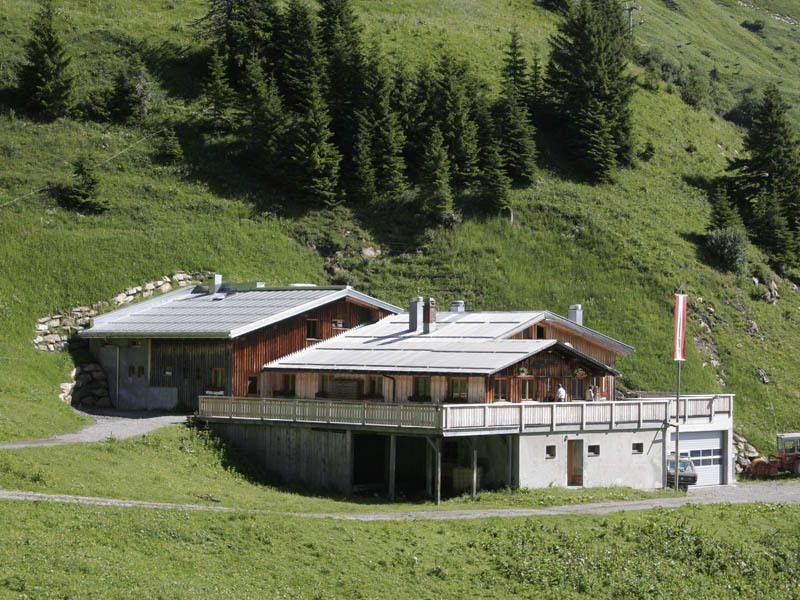
Franz - Josef Hütte

GPS Downloads


Condizioni dei sentieri
Asfalto
Ghiaia
Prato
Foresta
Roccia
Esposta
Altri tour nelle regioni
-
St. Gallen - Bodensee
2065
-
Biosphärenpark Großes Walsertal
2006
-
Damüls
576


