
Damüls Faschina Tourismus
Damüls Faschina Tourismus
Damüls Faschina Tourismus
Damüls Faschina Tourismus
Damüls Faschina Tourismus
Dati percorsi
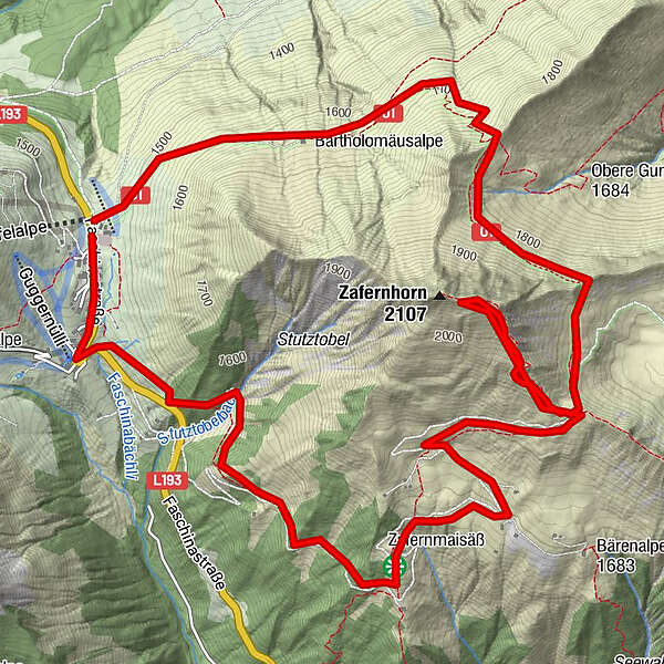
9,16km
1.442
- 2.045m
604hm
02:30h
- Descrizione rapida
-
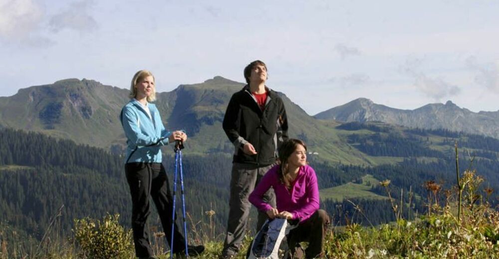
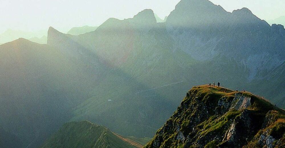
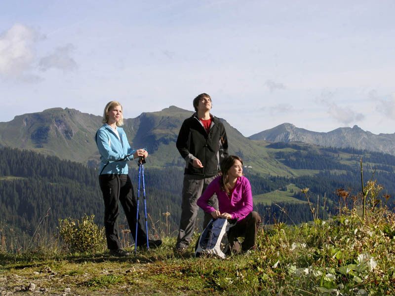
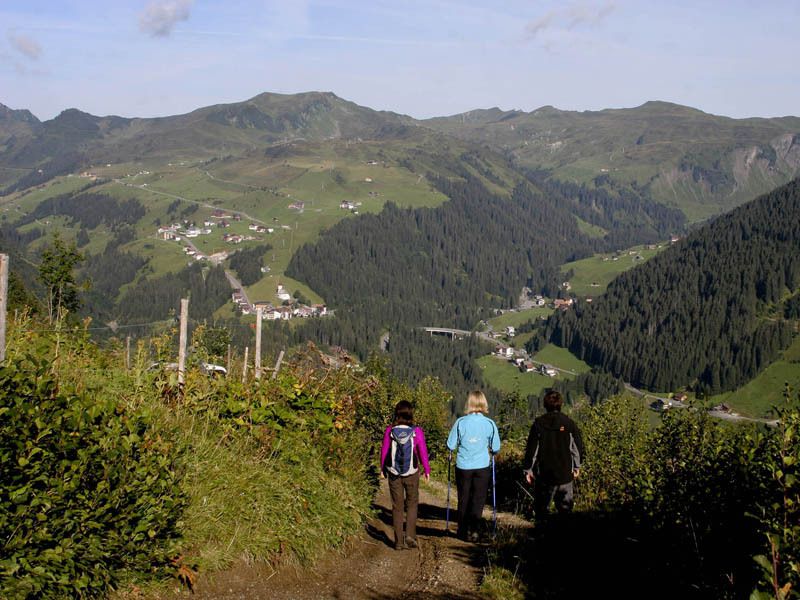
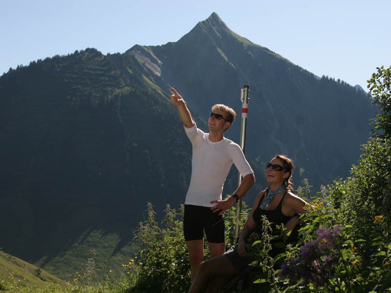
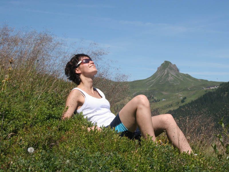
Gipfeltour für geübte Wanderer mit durchschnittlicher Kondition.
- Valutazione
-
- Punto di partenza
-
Faschinajoch
- Percorso
-
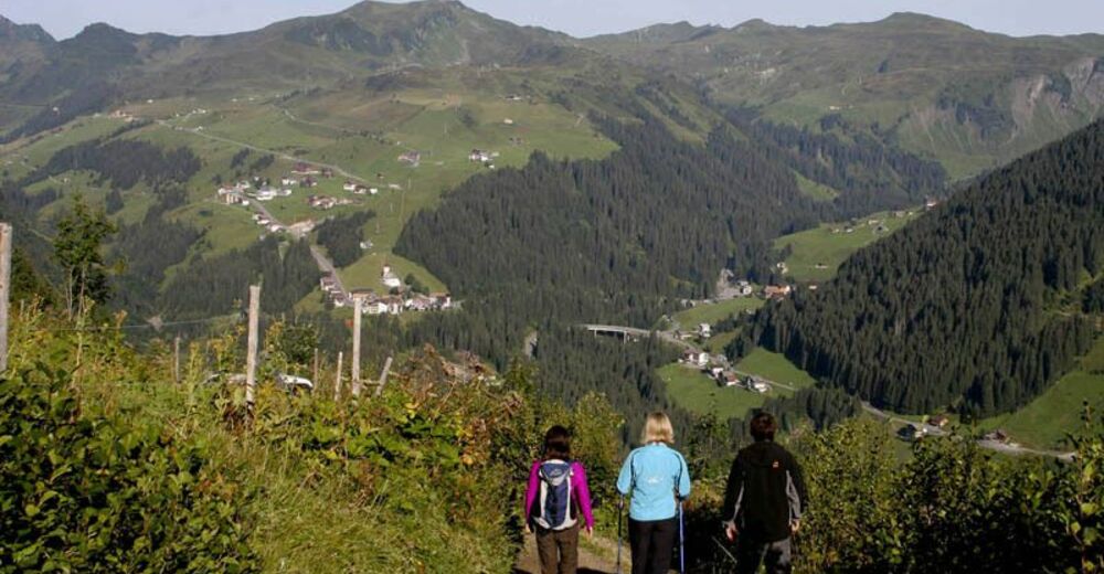
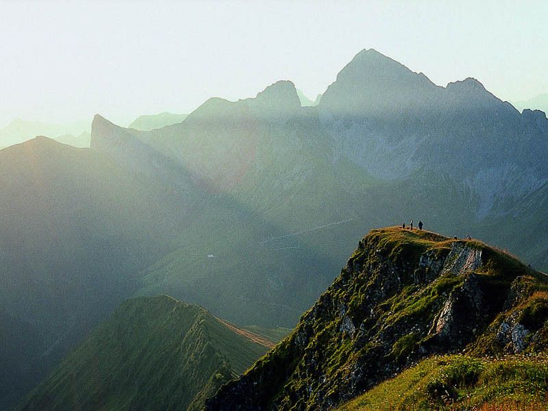
FaschinaHubertuskapelle3,2 kmZafernhorn (2.107 m)4,0 kmZafernmaisäß5,8 kmFaschina9,0 km
- Punto più alto
- 2.045 m
- Cartine
-
Damüls - Faschina Tourismus, Madlener Sport, Damülser Seilbahnen, Seilbahnen Faschina & Sport Rössle
GPS Downloads


Condizioni dei sentieri
Asfalto
Ghiaia
Prato
Foresta
Roccia
Esposta
Altri tour nelle regioni


