Salzstraße to Hochkrumbach

Logo Salzstraße to Hochkrumbach
Dati percorsi
3,33km
1.488 - 1.631m
Distanz
112hm
38hm
L'ascesa
01:02h
 
Durata
Descrizione rapida

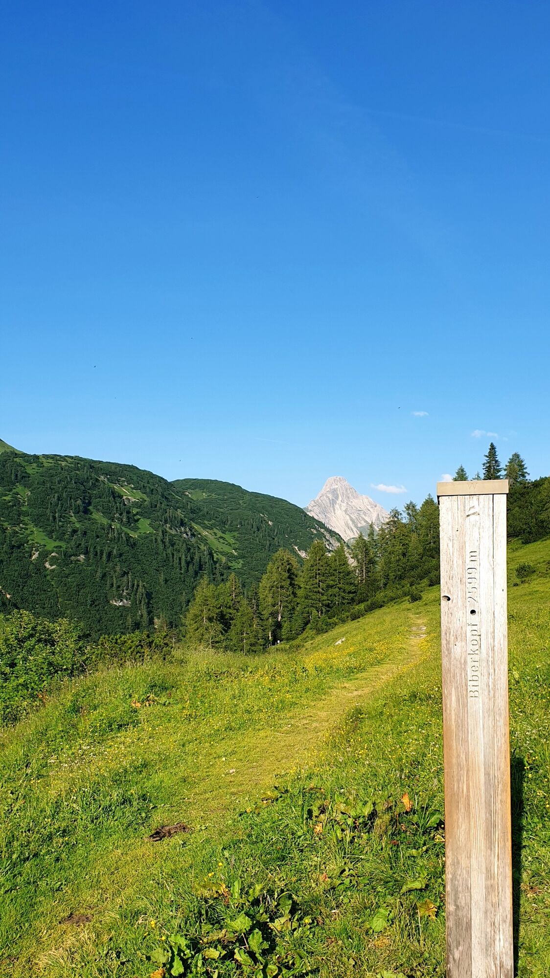
From the village square Warth, the path leads you past Steffisalp-Express at Walserhus. Passing the Sporthotel Steffisalp on the right, a hiking trail leads to the plot Wolfegg. Now continue along the path of the old salt road until you arrive in Hochkrumbach. Take the bus back.

Difficoltà
facile
Valutazione
Tecnica
Forma fisica
Panorama
Avventura / Esperienza
Percorso
Warth (1.495 m)
0,0 km
Pfarrkirche St. Sebastian
0,2 km
Wolfegg
1,2 km
Holzbodenalpe
2,5 km

La stagione migliore
gen
feb
mar
apr
mag
giu
lug
ago
set
ott
nov
dic
Punto più alto
1.631 m
Destinazione

Hochkrumbach

Profilo altimetrico

Autore
Il tour Salzstraße to Hochkrumbach è utilizzato da outdooractive.com fornito.

Valutazione complessiva

5

0

%

4

0

%

3

0

%

2

0

%

1

0

%

Errore
Si è verificato un errore. Si prega di riprovare.
Grazie per la vostra recensione

La valutazione è stata cancellata

GPS Downloads
  • GPX GPS Exchange Format (XML)
  • KML Google Earth, Google Maps
Codici di download QR per telefoni cellulari

Info generali

Suggerimento
Promettente
Altri tour nelle regioni

Tour popolari della zona

Faschina | Rund um's Zafernhorn

intermedio Escursionismo
10,09km | 634hm | 04:15h

Around Lake Formarin

difficile Escursionismo
3,79km | 84hm | 02:06h

Kanisfluh, 2.044 m

intermedio Escursionismo
4,41km | 589hm | 03:30h

Reichenbach, Unterer Gaisalpsee, Rubihorn, Oberer Gaisalpsee, Entsc...

difficile Escursionismo
17,37km | 1440hm | 04:53h