© Montafon Tourismus GmbH - Julia Mangeng
© Montafon Tourismus GmbH - Julia Mangeng
© Silvretta Historica; Montafon Tourismus GmbH - Julia Mangeng


- Descrizione rapida
-
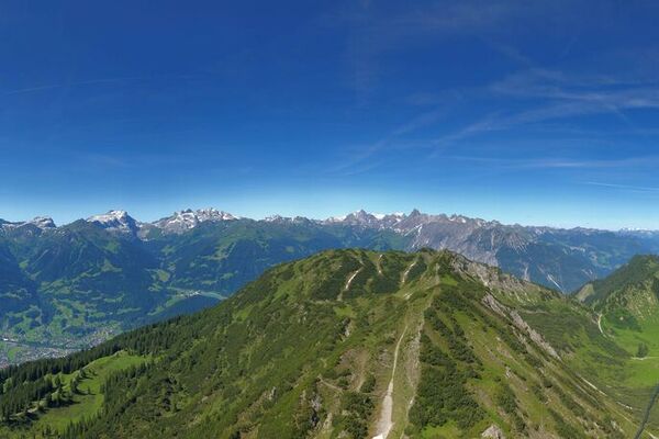
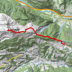
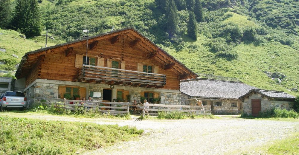
1. Tag: Bergstation Versettla - Burg - Versettla - Madrisella - Matschuner Joch - Kuchenberg - Vorderberg - Tübinger Hütte (Übernachtung)
2. Tag: Tübinger Hütte - Garneratal - Ganeumaisäß - Talstation Versettla
Wir empfehlen den Übernachtungsplatz frühzeitig zu reservieren.
- Difficoltà
-
difficile
- Valutazione
-
- Percorso
-
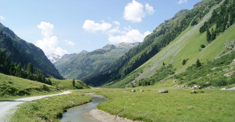
Versettla (2.368 m)1,9 kmMadrisella (2.466 m)3,2 kmMatschuner Joch (2.423 m)4,7 kmKuchenberg (2.523 m)6,6 kmVorderberg (2.553 m)7,4 kmVergaldner Joch (2.515 m)7,9 kmTübinger Hütte11,2 km
- La stagione migliore
-
genfebmaraprmaggiulugagosetottnovdic
- Punto più alto
- 2.524 m
- Destinazione
-
Ortszentrum Gaschurn
- Profilo altimetrico
-


-

-
AutoreIl tour Tübinger Hütte - Silvretta è utilizzato da outdooractive.com fornito.
GPS Downloads


Info generali
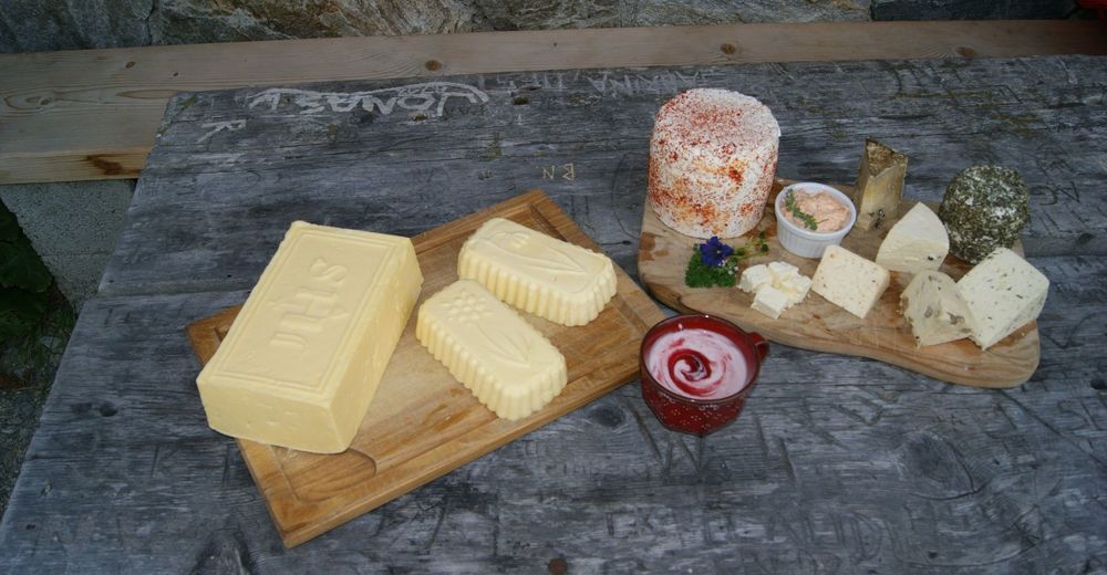
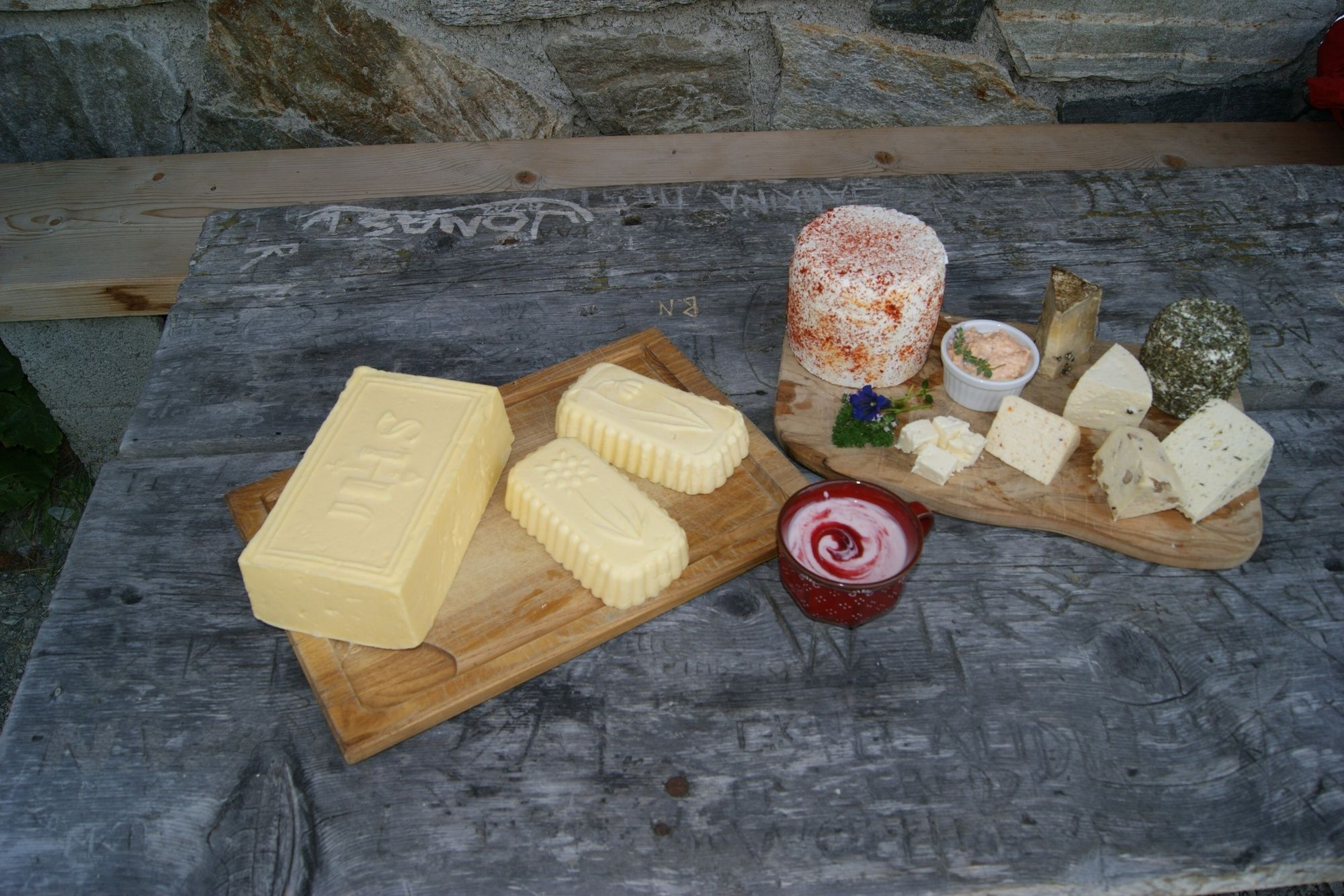
Punto di ristoro
Promettente
Altri tour nelle regioni
-
Montafon
1382
-
Silvretta Montafon Bergbahnen
454