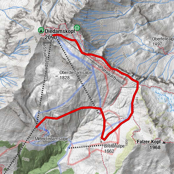
Diedamskopf - Mittelstation - Breitenalpe - Bergstation

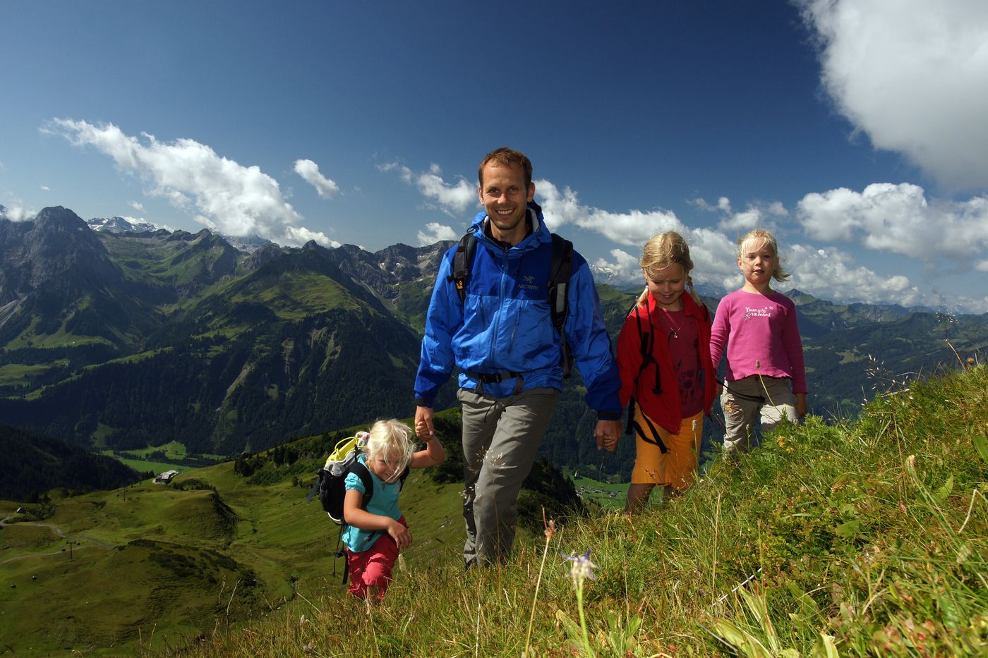
Escursionismo

Dati percorsi
4,1km
1.639
- 2.028m
393hm
02:00h
- Valutazione
-
- Punto di partenza
-
Mittelstation Gondelbahn
- Percorso
-
Breitenalpe1,4 km
- Punto più alto
- 2.028 m
- Riposo/Ritiro
-
Eis-Café Ski-Inn, Kiosk Mittelstation, Breitenalpe, Panoramarstaurant am Berg
- Cartine
-
Au-Schoppernau Tourismus
GPS Downloads


Condizioni dei sentieri
Asfalto
Ghiaia
Prato
Foresta
Roccia
Esposta
Altri tour nelle regioni
-
Bregenzerwald
2297
-
Diedamskopf
755


