

© Alpenregion Bludenz Tourismus GmbH - Melanie Fleisch

© Alpenregion Bludenz Tourismus GmbH - Melanie Fleisch

© Alpenregion Bludenz Tourismus GmbH - Melanie Fleisch

© Alpenregion Bludenz Tourismus GmbH - Melanie Fleisch

© Alpenregion Bludenz Tourismus GmbH - Melanie Fleisch

© Alpenregion Bludenz Tourismus GmbH - Melanie Fleisch

© Vorarlberg Tourismus GmbH
- Descrizione rapida
-
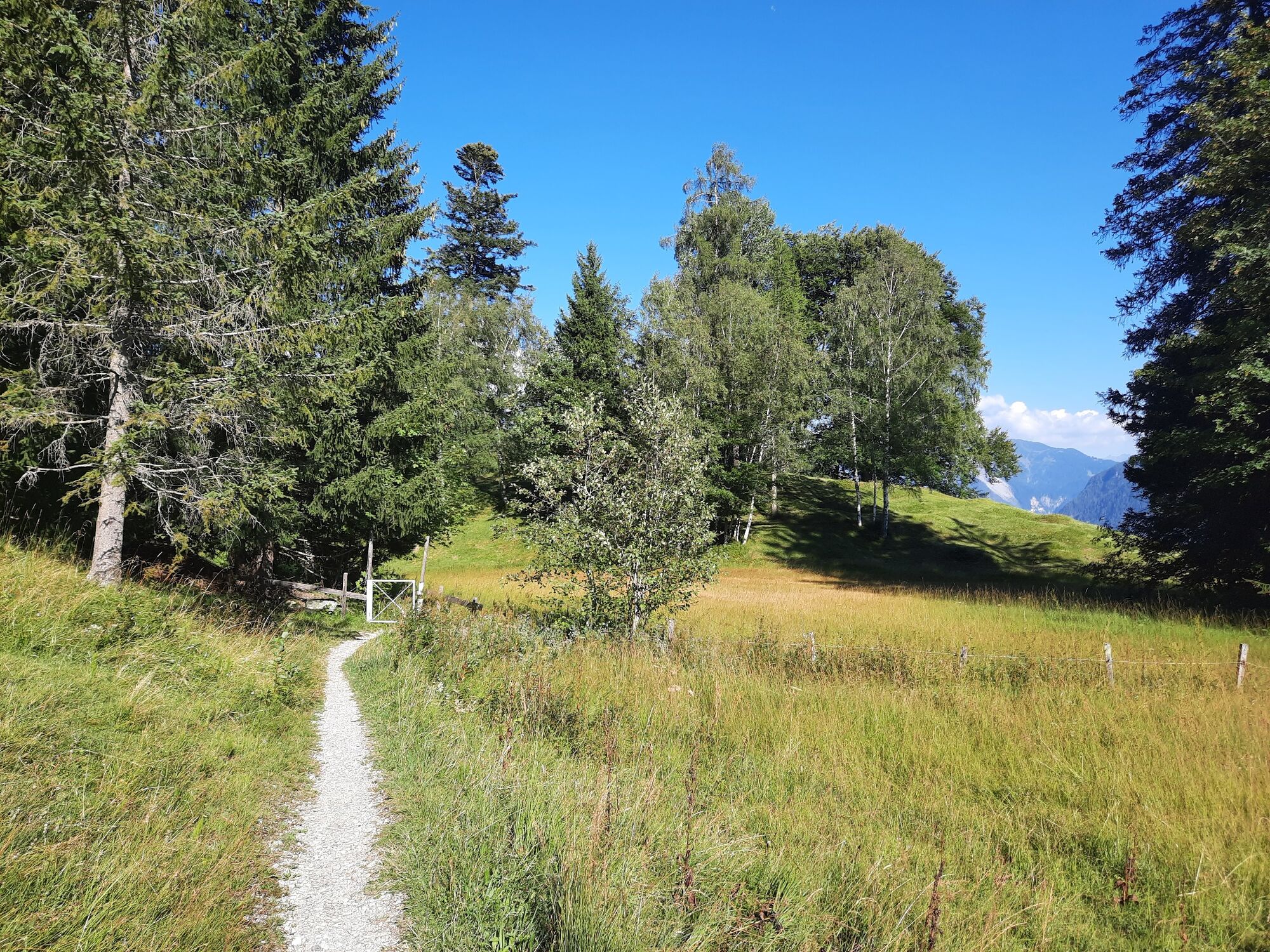
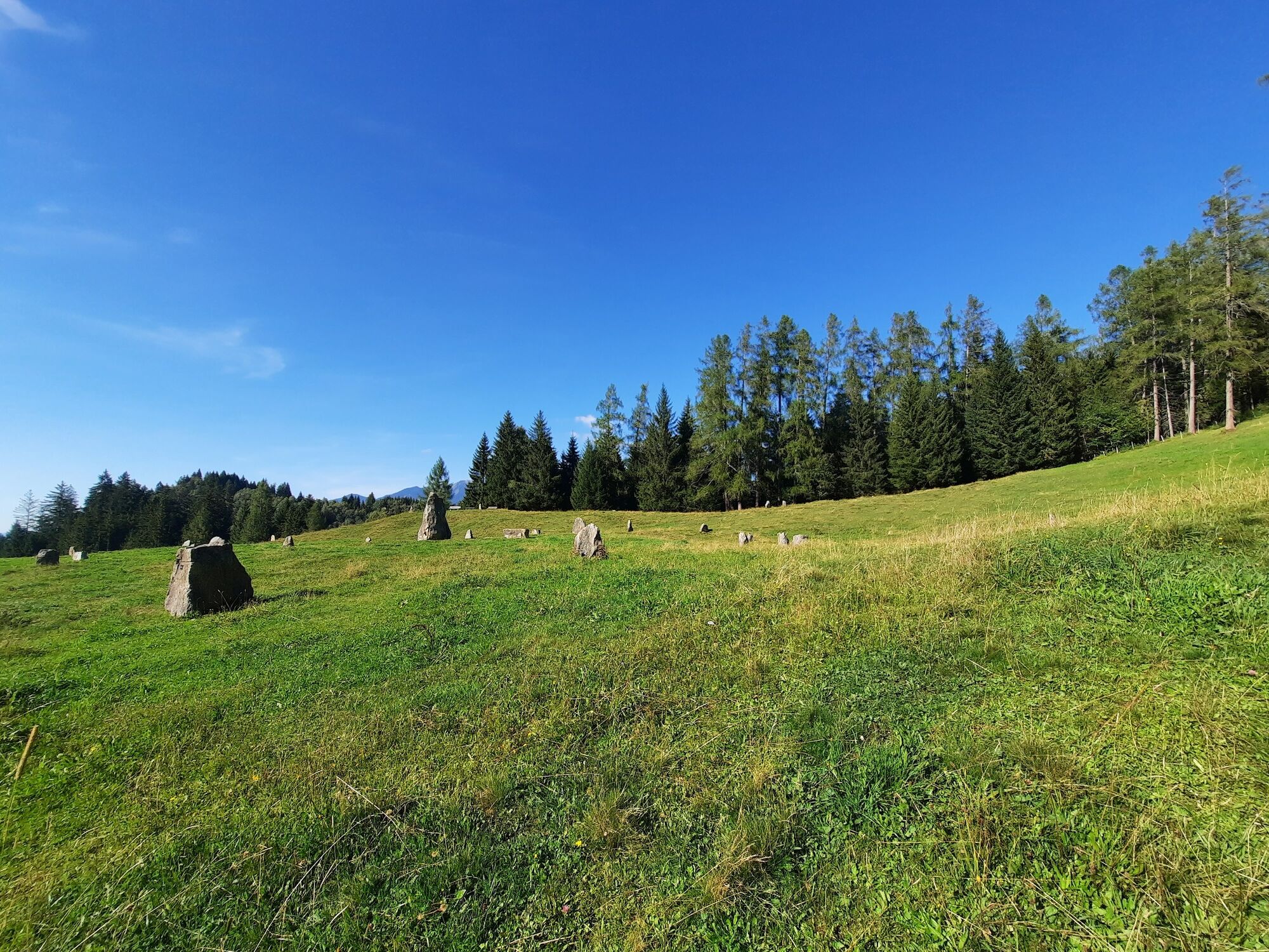
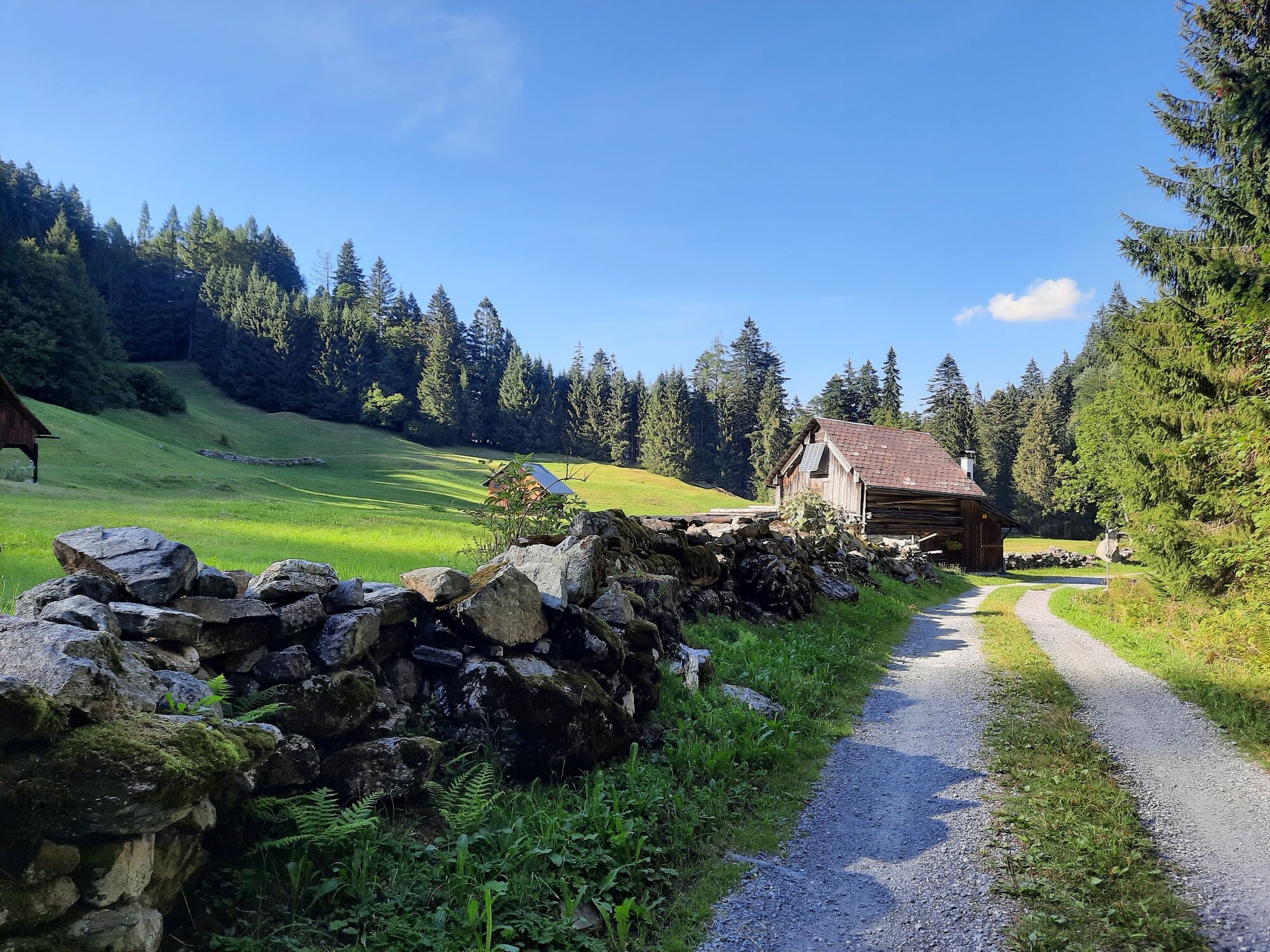
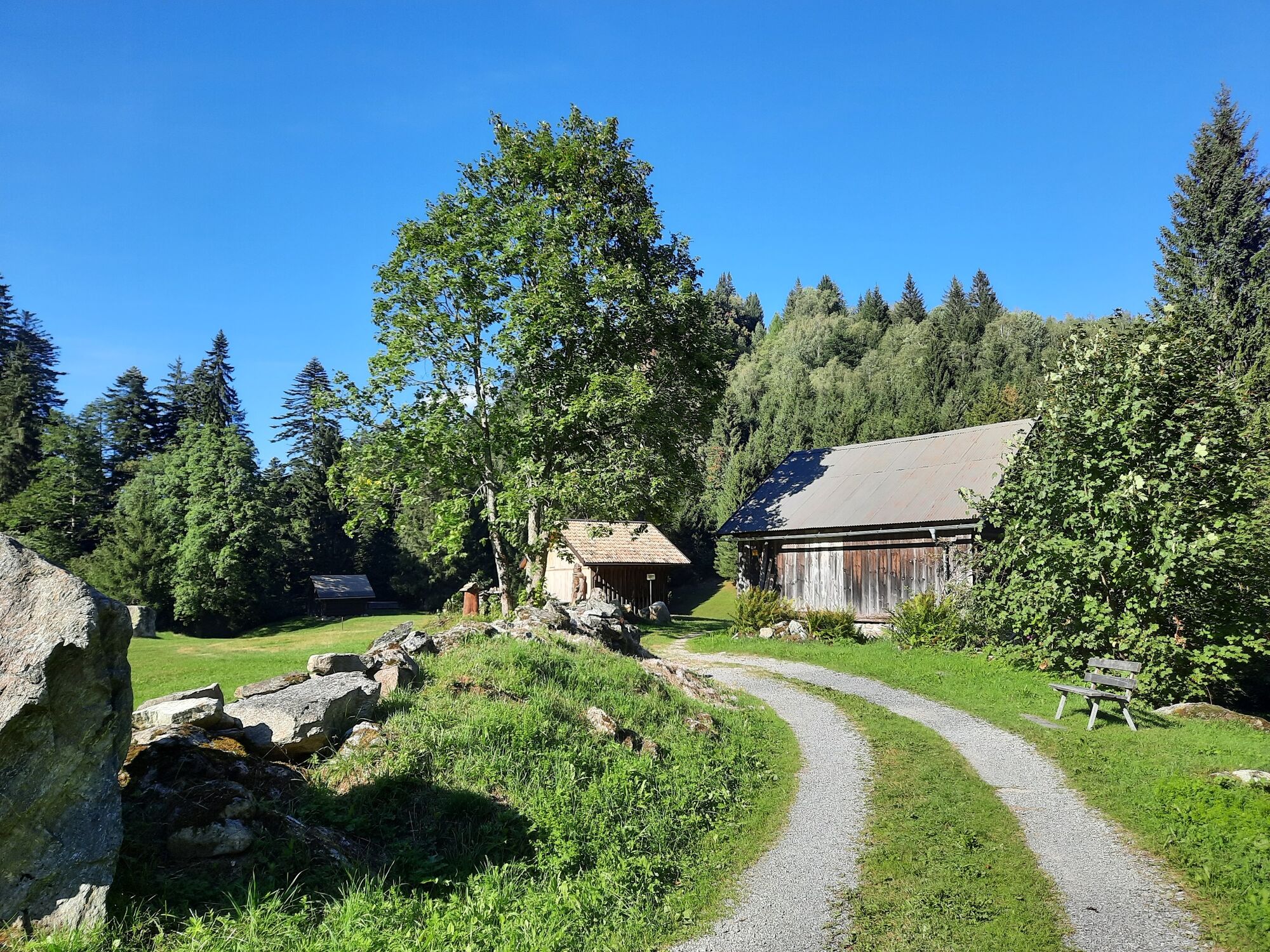
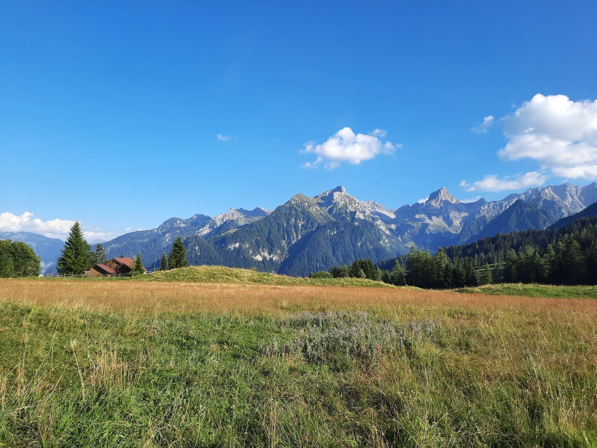
Pleasantly short hike to Mottakopf on the Tschengla high plateau.
- Difficoltà
-
facile
- Valutazione
-
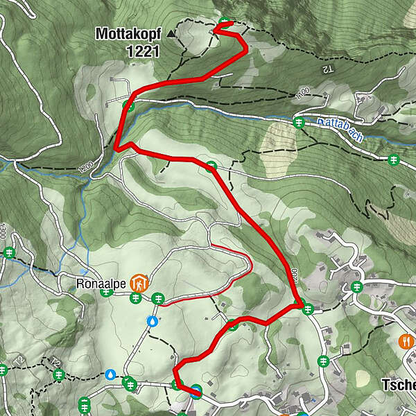
- Percorso
-
Tschengla0,5 km
- La stagione migliore
-
genfebmaraprmaggiulugagosetottnovdic
- Punto più alto
- 1.226 m
- Destinazione
-
Car park Tschengla, Bürserberg
- Profilo altimetrico
-


- Autore
-
Il tour Mottakopfweg | Bürserberg è utilizzato da outdooractive.com fornito.
GPS Downloads


Info generali
Promettente
Altri tour nelle regioni
-
St. Gallen - Bodensee
2066
-
Brandnertal
1568
-
Bürserberg
483


