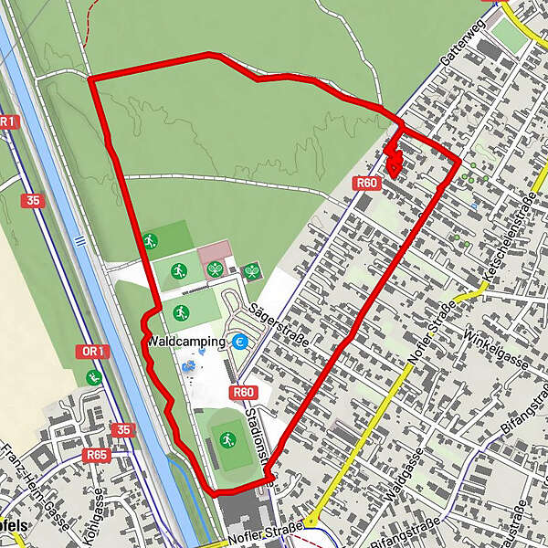
Gisingen Vorarlberg/Österreich

Logo Gisingen Vorarlberg/Österreich
Dati percorsi
3,5km
437 - 447m
Distanz
11hm
14hm
L'ascesa
00:53h
 
Durata
Descrizione rapida

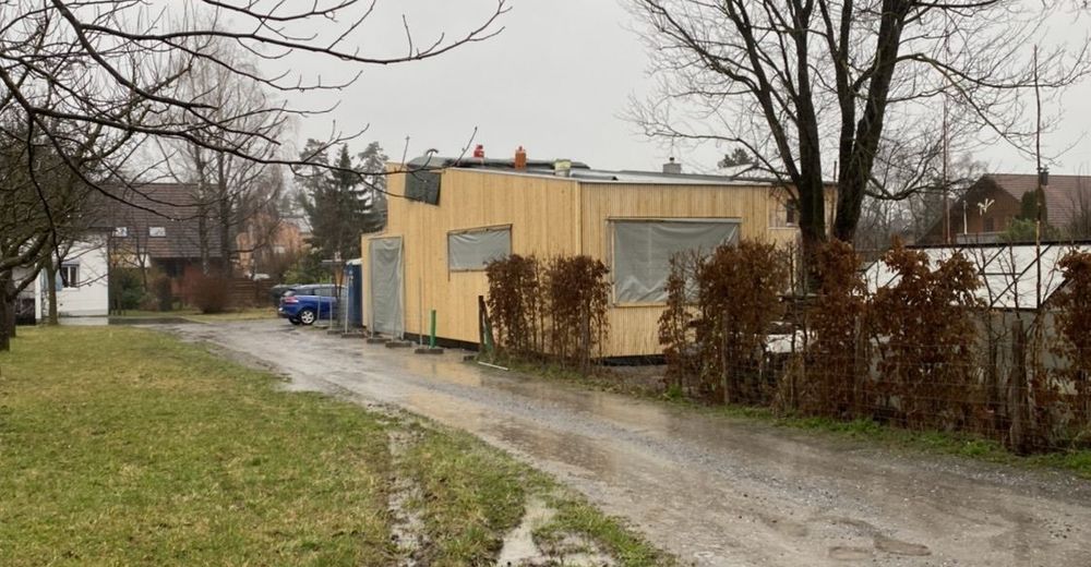
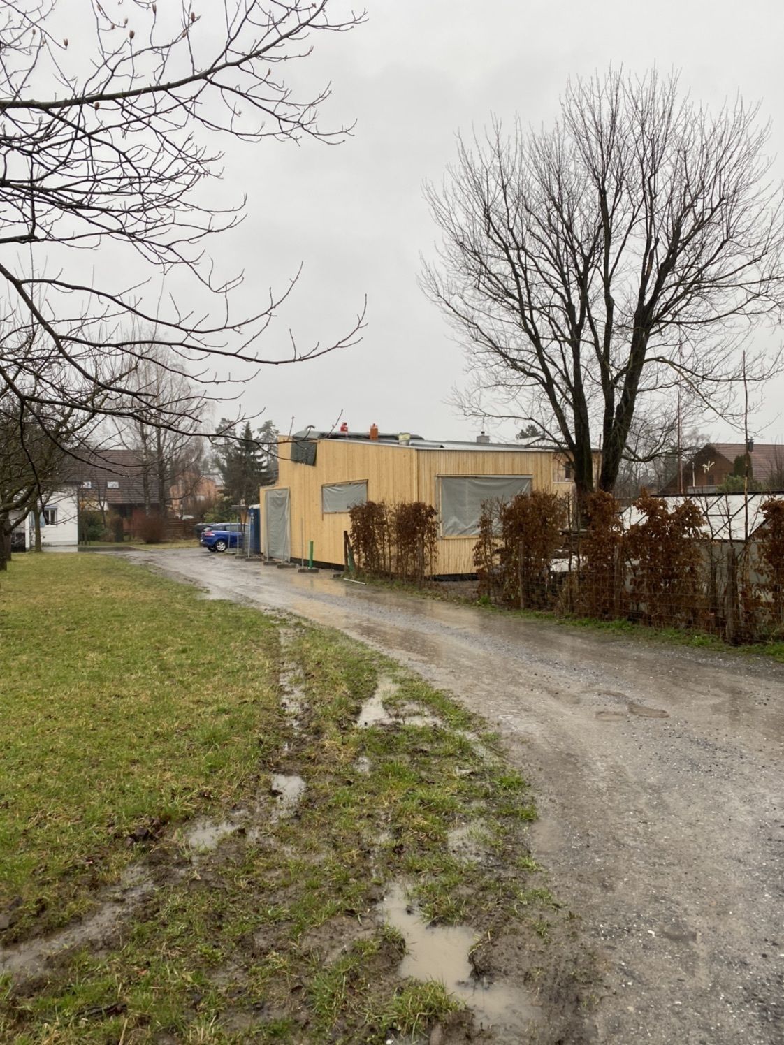
Spaziergang im Regen ☔️

Difficoltà
facile
Valutazione
Tecnica
Forma fisica
Panorama
Avventura / Esperienza
Percorso
Feldkirch
2,3 km

Punto più alto
447 m

Valutazione complessiva

5

0

%

4

0

%

3

0

%

2

0

%

1

0

%

Errore
Si è verificato un errore. Si prega di riprovare.
Grazie per la vostra recensione

La valutazione è stata cancellata

GPS Downloads
  • GPX GPS Exchange Format (XML)
  • KML Google Earth, Google Maps
Codici di download QR per telefoni cellulari
Altri tour nelle regioni

Tour popolari della zona

Üble Schlucht / Laterns

intermedio Escursionismo
6,3km | 322hm | 02:30h

Hohe Kugel und First ab Fraxern Fraxern, Vorarlberg

intermedio Escursionismo
11,94km | 823hm | 04:46h

Fürstin-Gina-Weg

Escursionismo
10,68km | 850hm | 05:00h

Schwarzenberg I Bödele hike through Fohramoos

facile Escursionismo
3,51km | 48hm | 01:00h