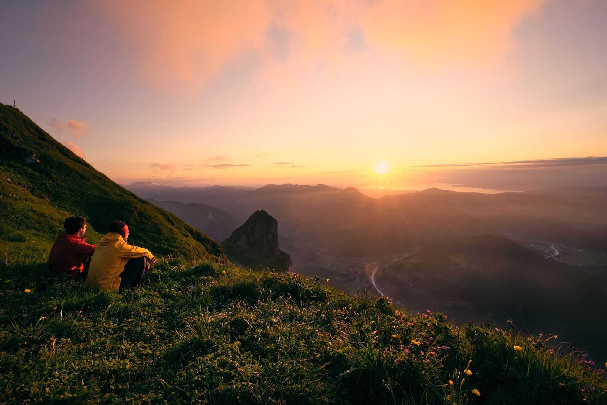
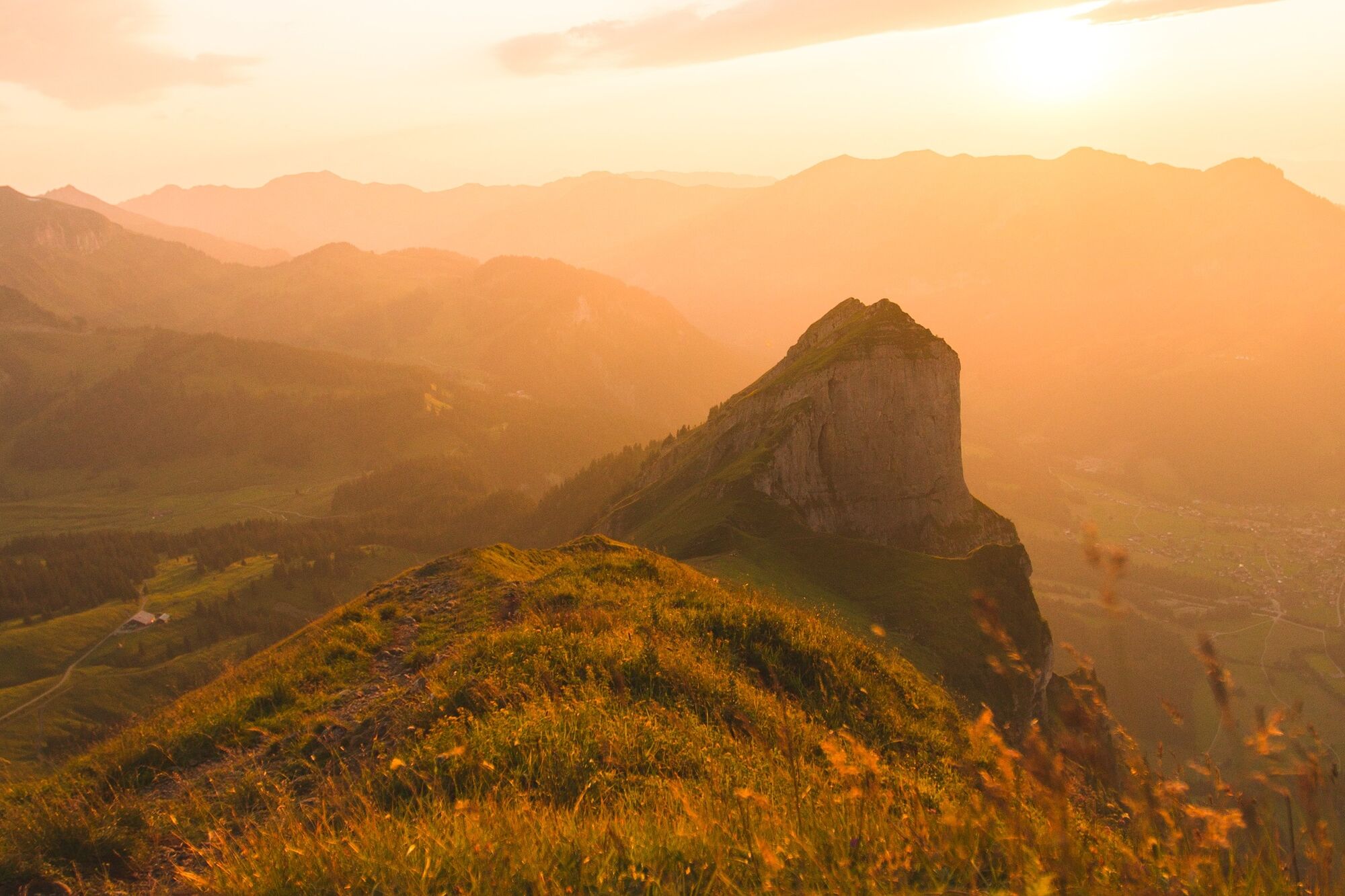
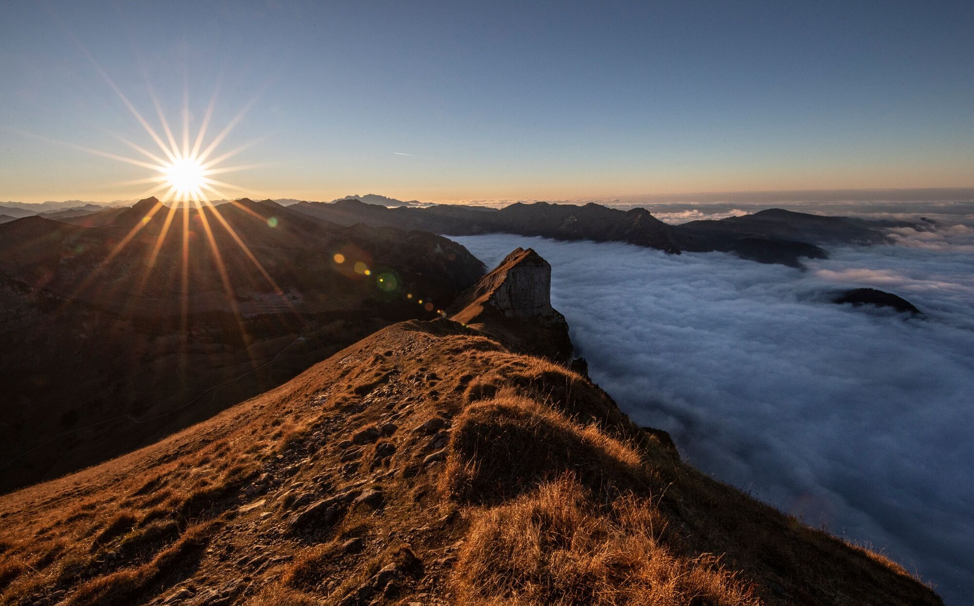
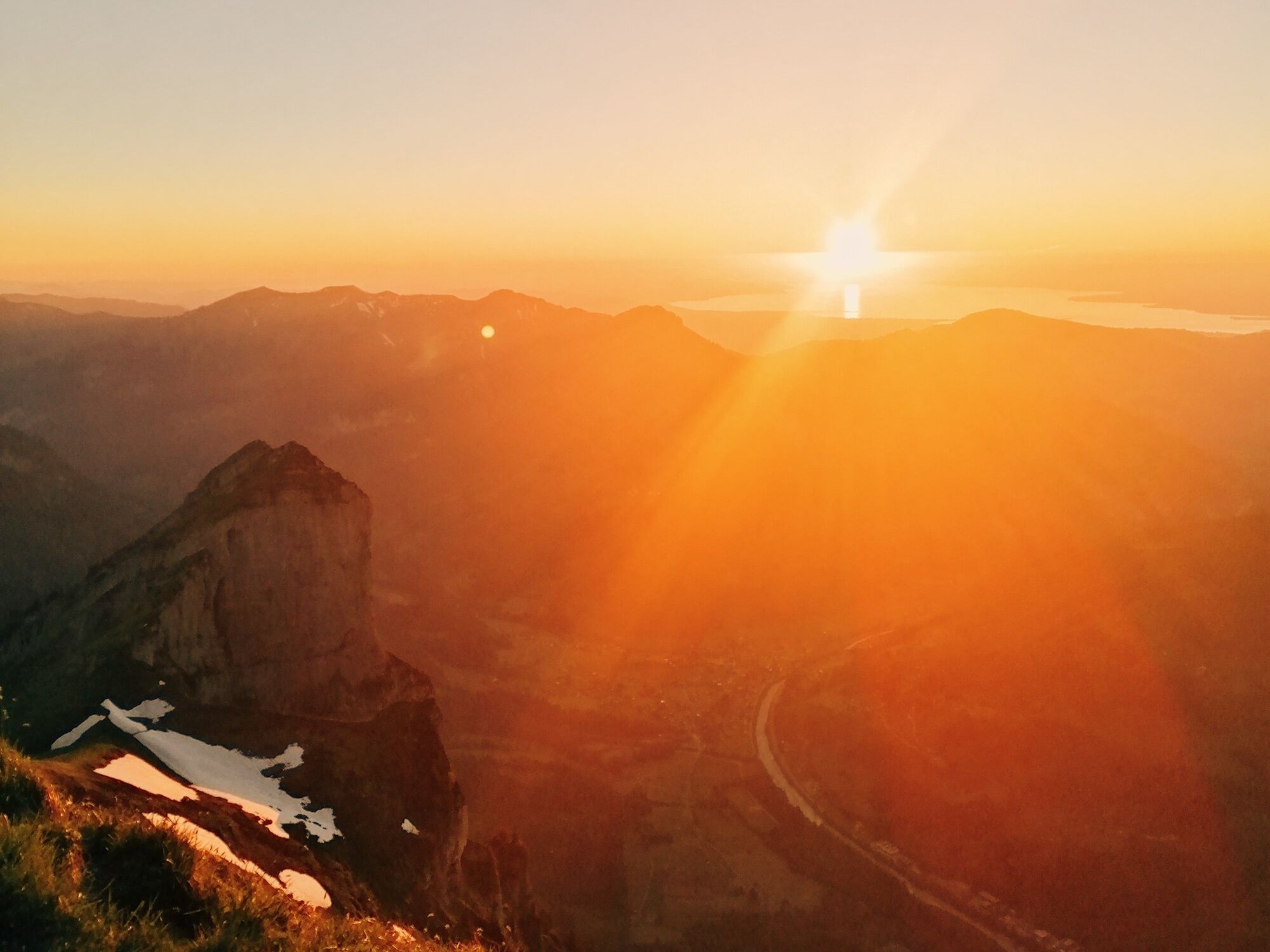
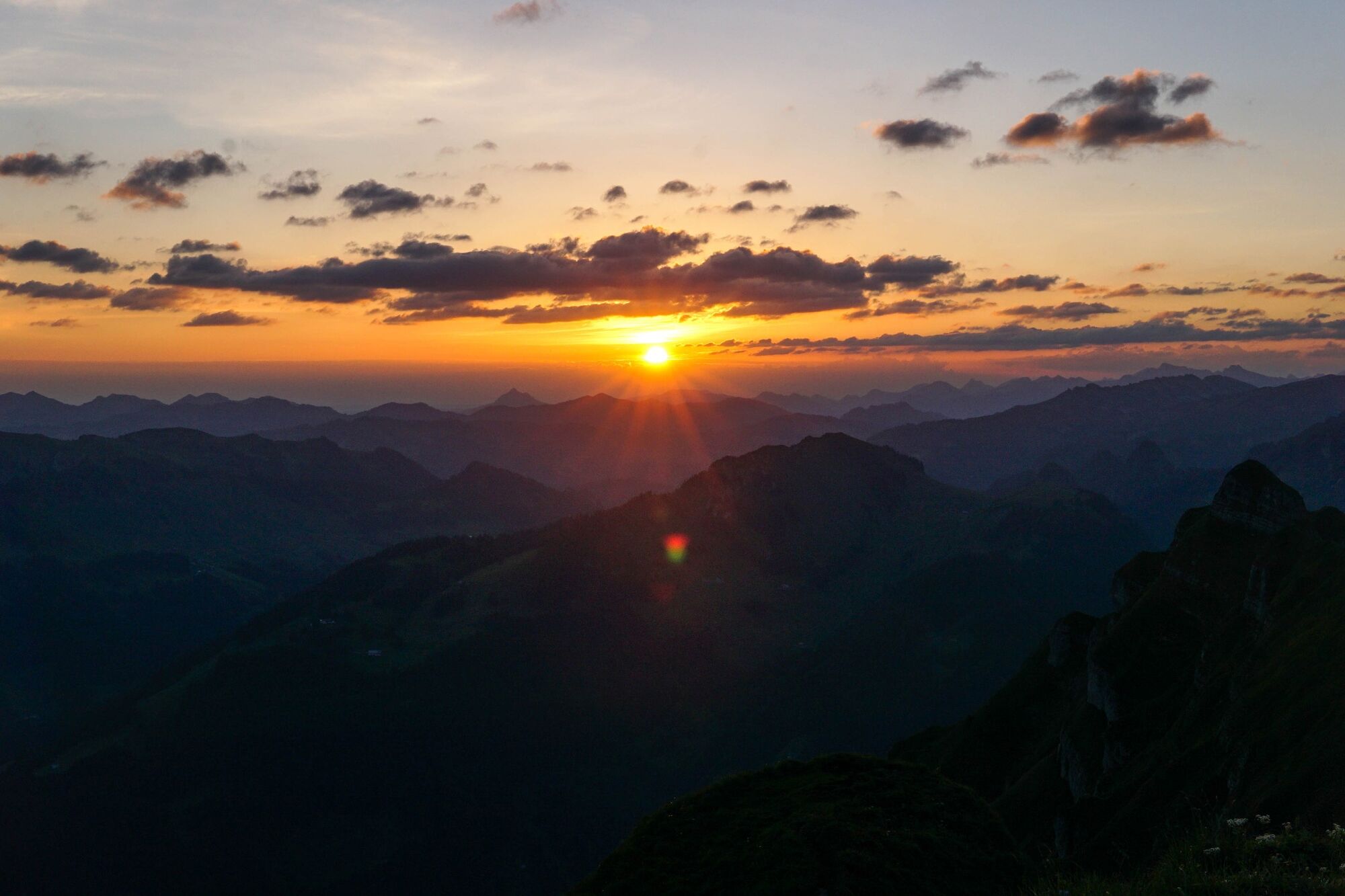
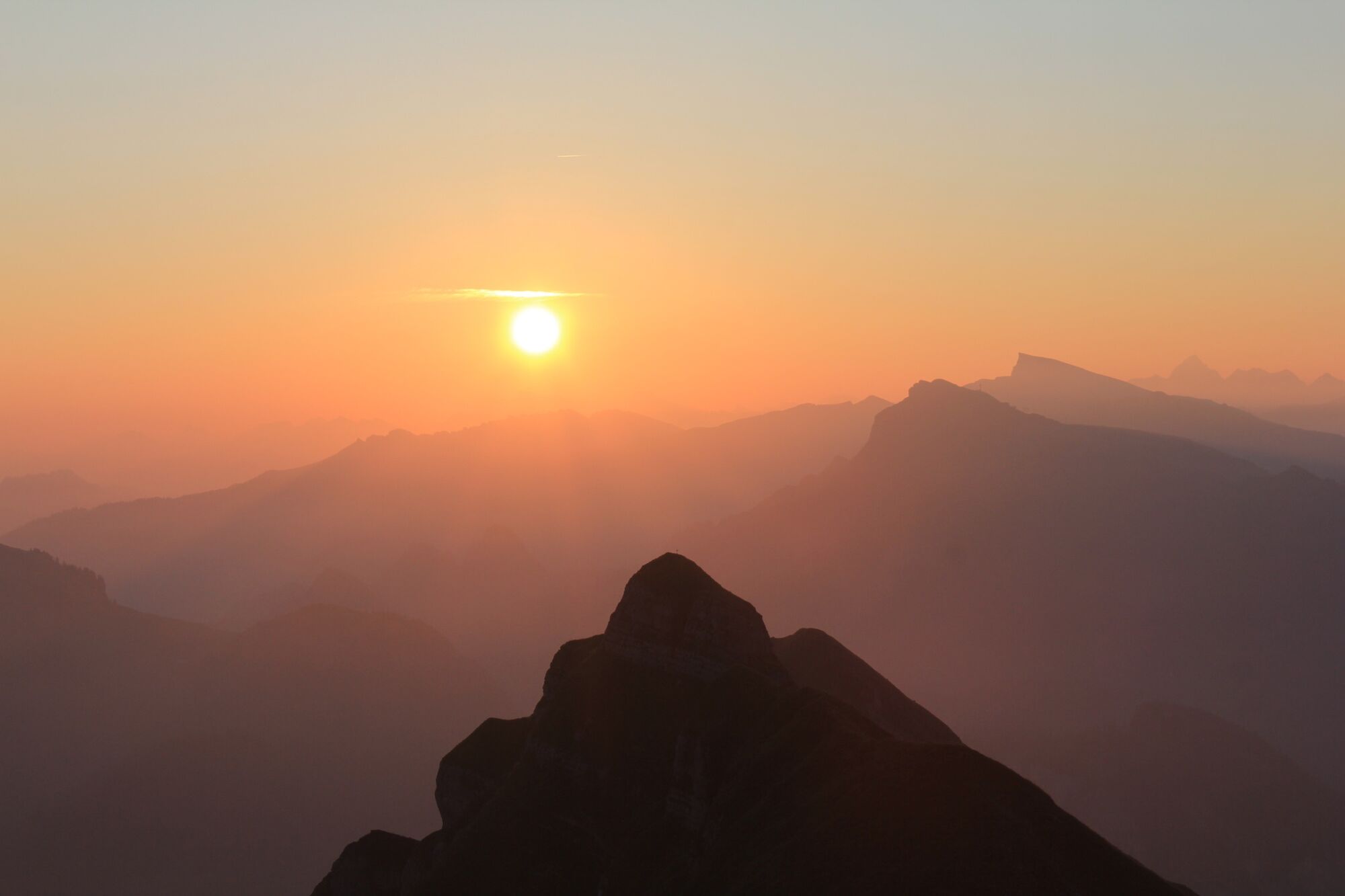
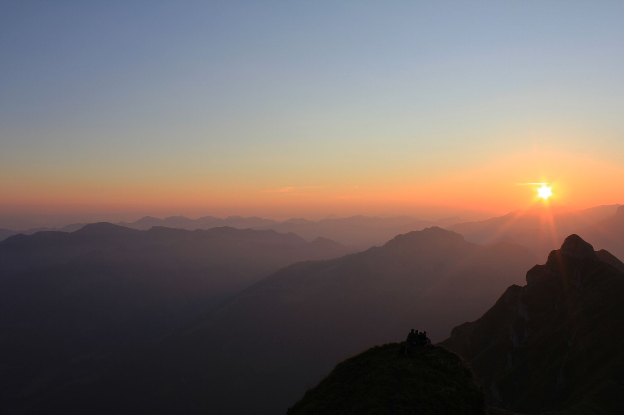
Au | Sunrise and sunset hike to the Kanisfluh

Escursionismo

© Bregenzerwald Tourismus - Michael Meusburger

© Bregenzerwald Tourismus - Oostenrijk TV

© Bregenzerwald Tourismus - Helmut Düringer

© Bregenzerwald Tourismus - Oostenrijk TV

© Bregenzerwald Tourismus - Michael Kuschei

© Bregenzerwald Tourismus - Emanuel Sutterlüty

© Bregenzerwald Tourismus - Nadine Lerho

© Bregenzerwald Tourismus - Anja Wolf

© Bregenzerwald Tourismus - Nadine Lerho

© Bregenzerwald Tourismus - Nadine Lerho

- Descrizione rapida
-
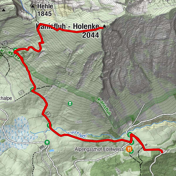
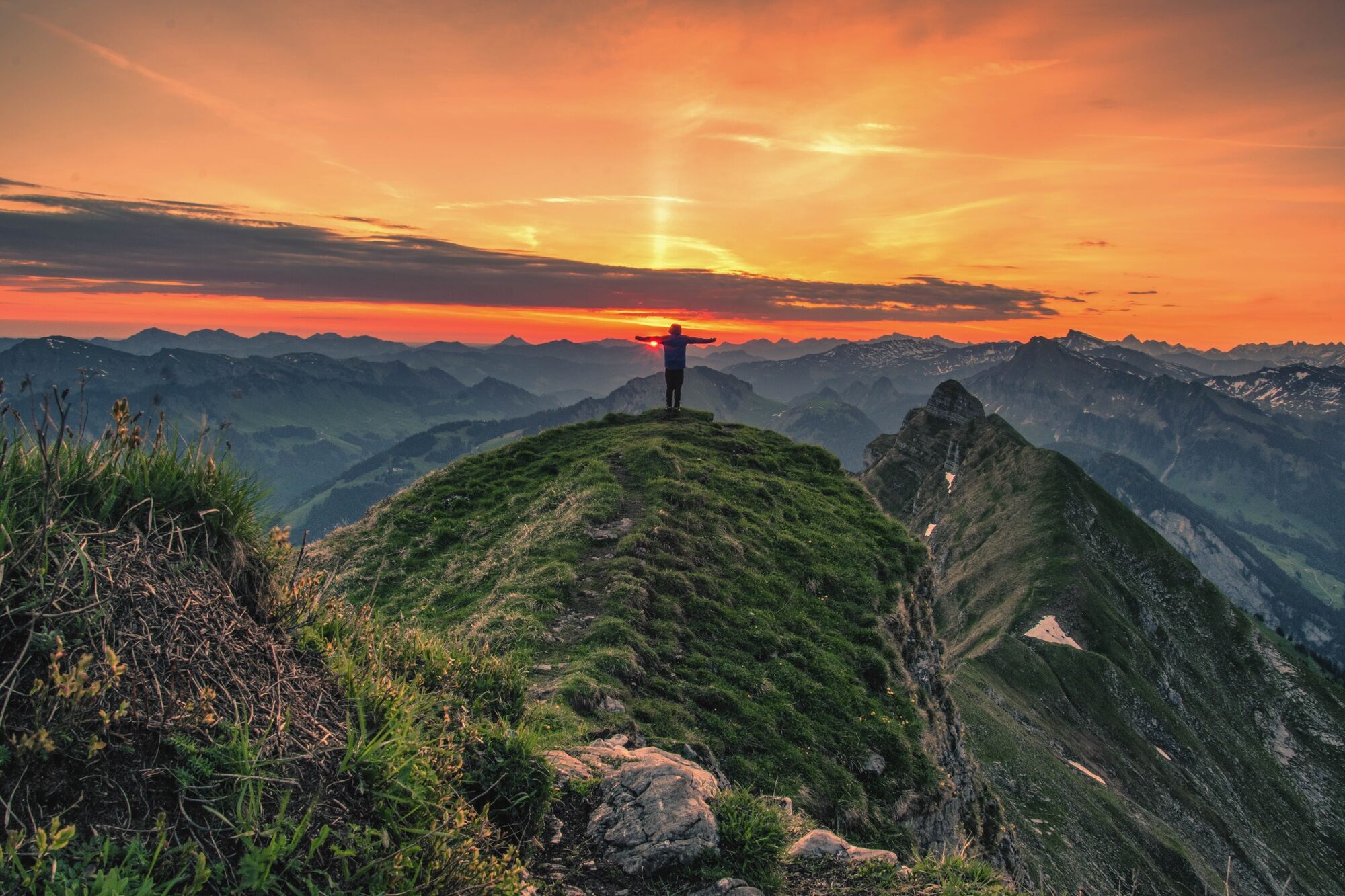
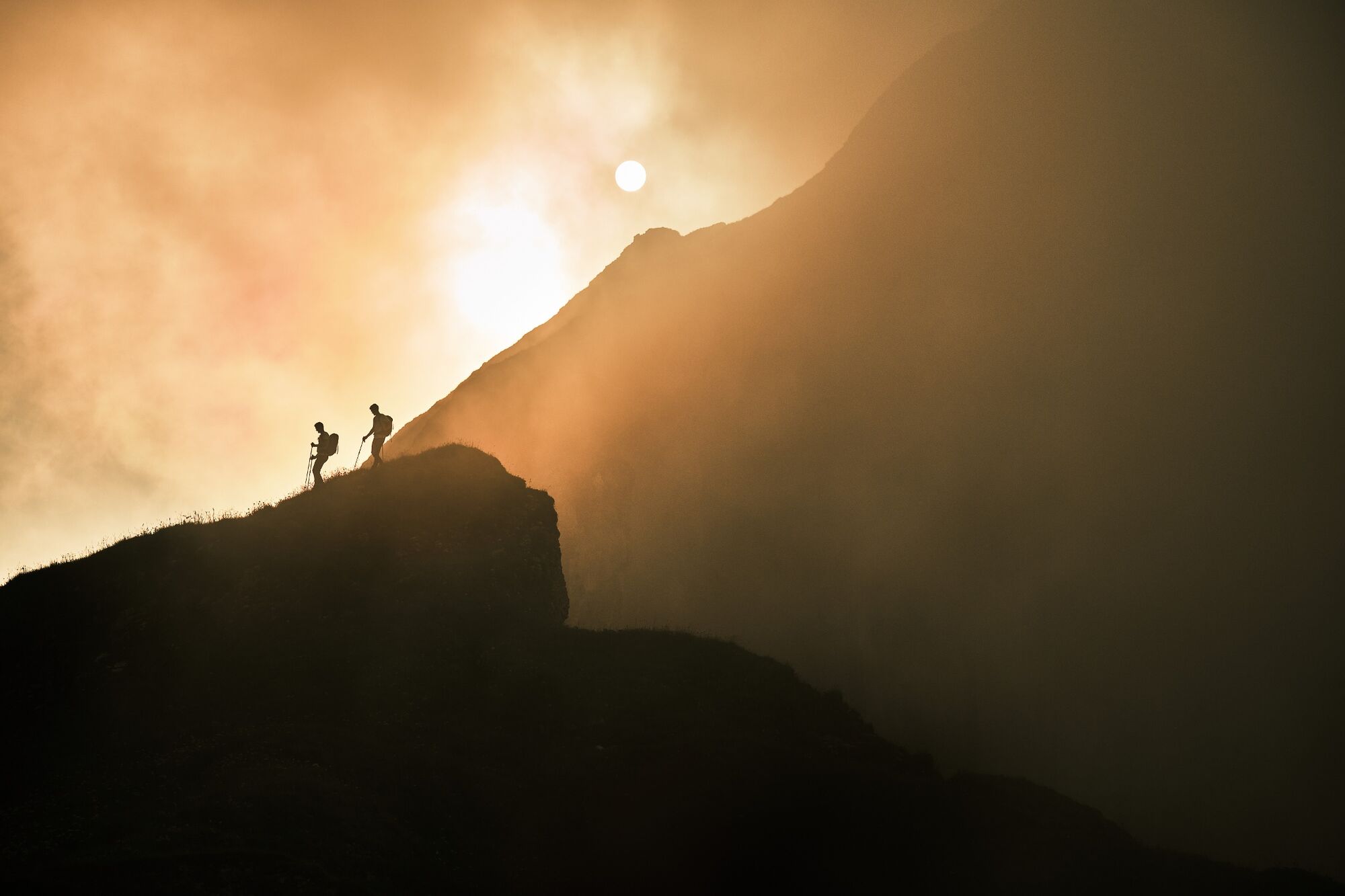
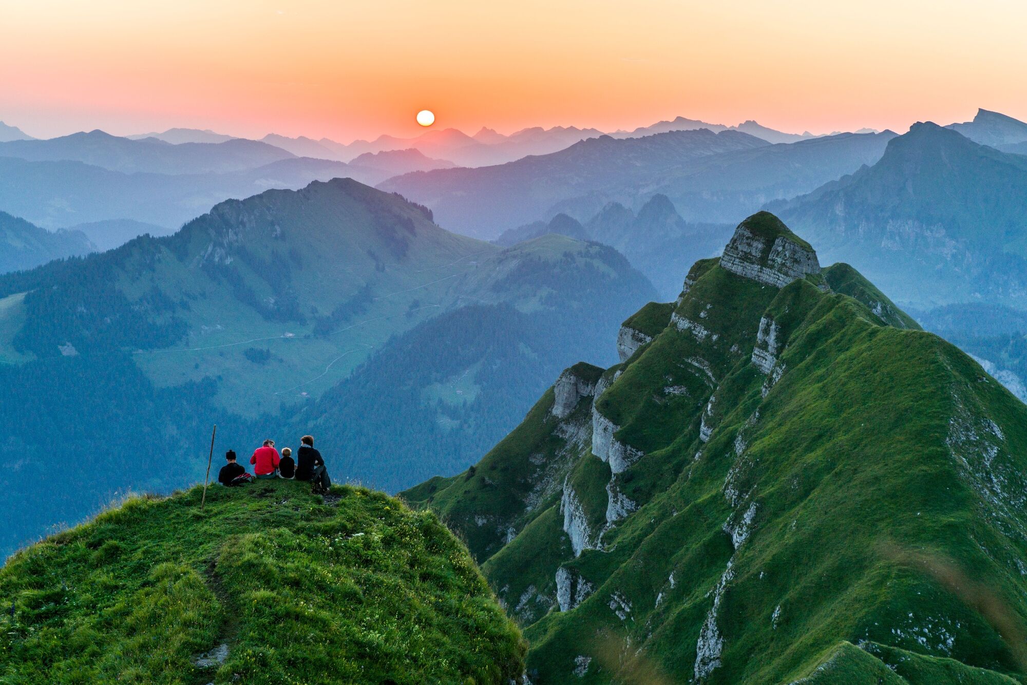
The sunrise and sunset hike from the Alpengasthof Edelweiß to the landmark of the Bregenzerwald - the popular panoramic mountain Kanisfluh (2,044 m) is very popular and always beautiful.
- Difficoltà
-
intermedio
- Valutazione
-
- Percorso
-
Hehlesattel (1.870 m)2,2 km
- La stagione migliore
-
genfebmaraprmaggiulugagosetottnovdic
- Punto più alto
- 2.007 m
- Destinazione
-
Kanisfluh
- Profilo altimetrico
-

-

-
AutoreIl tour Au | Sunrise and sunset hike to the Kanisfluh è utilizzato da outdooractive.com fornito.
GPS Downloads


Info generali
Punto di ristoro
Suggerimento
Promettente
Altri tour nelle regioni
-
St. Gallen - Bodensee
2065
-
Biosphärenpark Großes Walsertal
2006
-
Schnepfau
630


