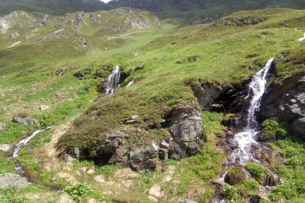
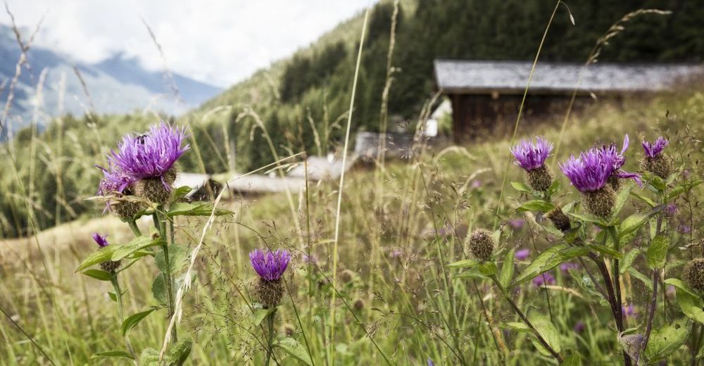
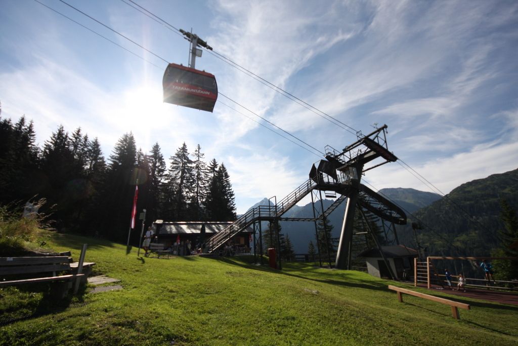
© Montafon Tourismus GmbH - Edi Gröger - Elisa Schöllhorn

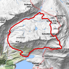
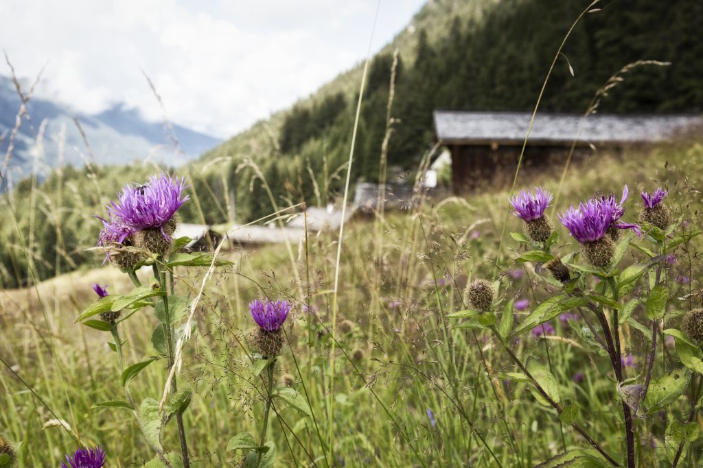
© Silvretta-Bielerhöhe - Elisa Schöllhorn
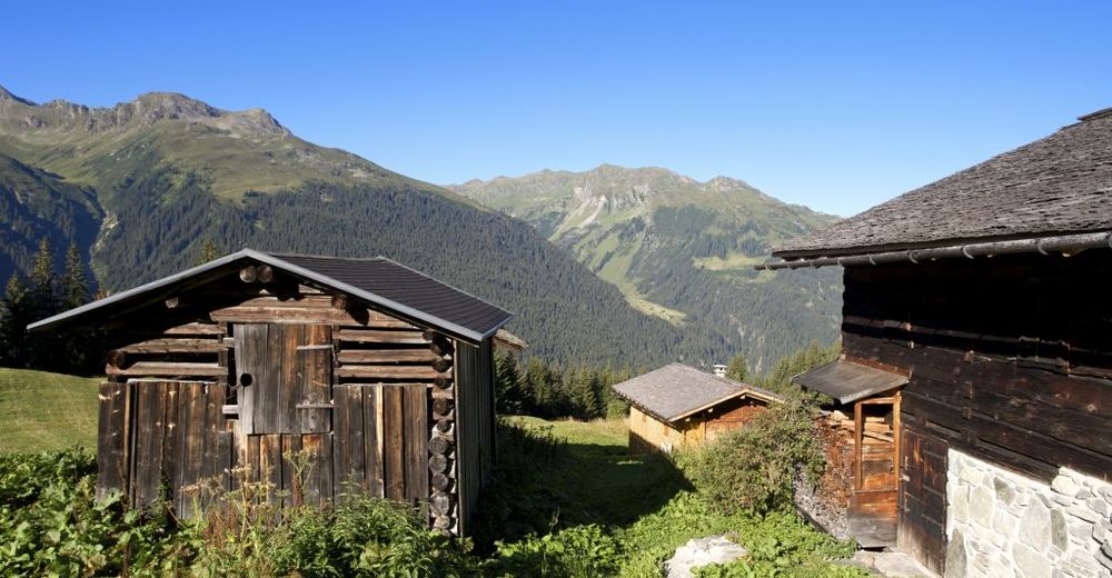
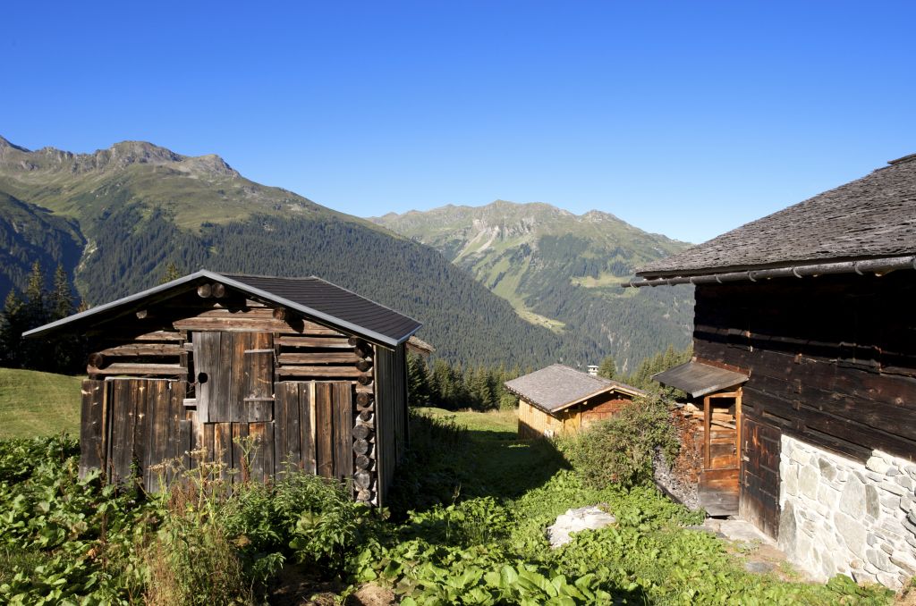
© Montafon Tourismus GmbH - Andreas Haller - Elisa Schöllhorn
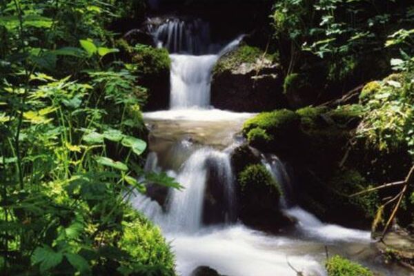
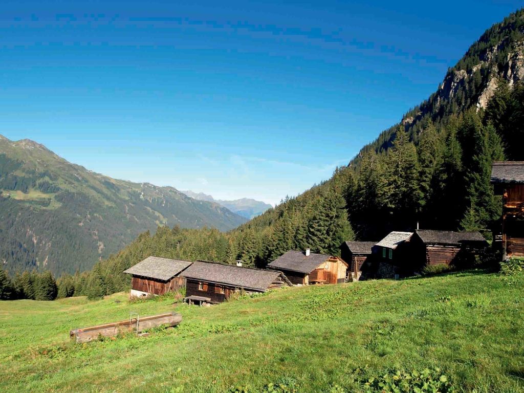
© Montafon Tourismus GmbH - Edi Gröger - Elisa Schöllhorn

- Difficoltà
-
intermedio
- Valutazione
-
- Percorso
-
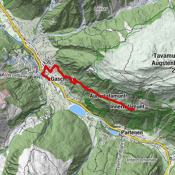
Pfarrkirche St. Micheal0,5 kmGaschurn1,6 kmAußertafamunt3,1 kmInnertafamunt4,0 kmAlpstöbli Tafamunt4,3 km
- La stagione migliore
-
genfebmaraprmaggiulugagosetottnovdic
- Punto più alto
- 1.540 m
- Destinazione
-
Tafamuntmaisäß
- Profilo altimetrico
-

-

-
AutoreIl tour Tafamuntmaisäß - Gaschurn è utilizzato da outdooractive.com fornito.
GPS Downloads


Altri tour nelle regioni
-
Montafon
1382
-
Gaschurn - Partenen
355