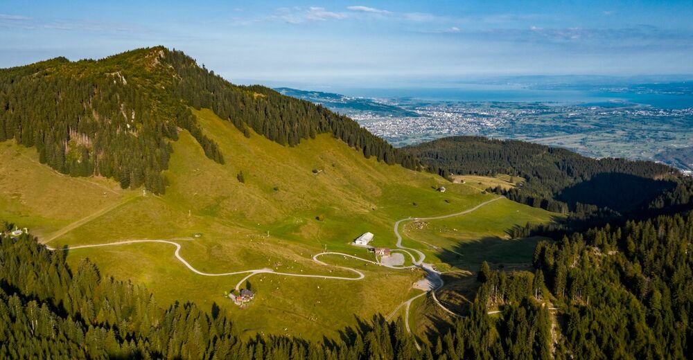
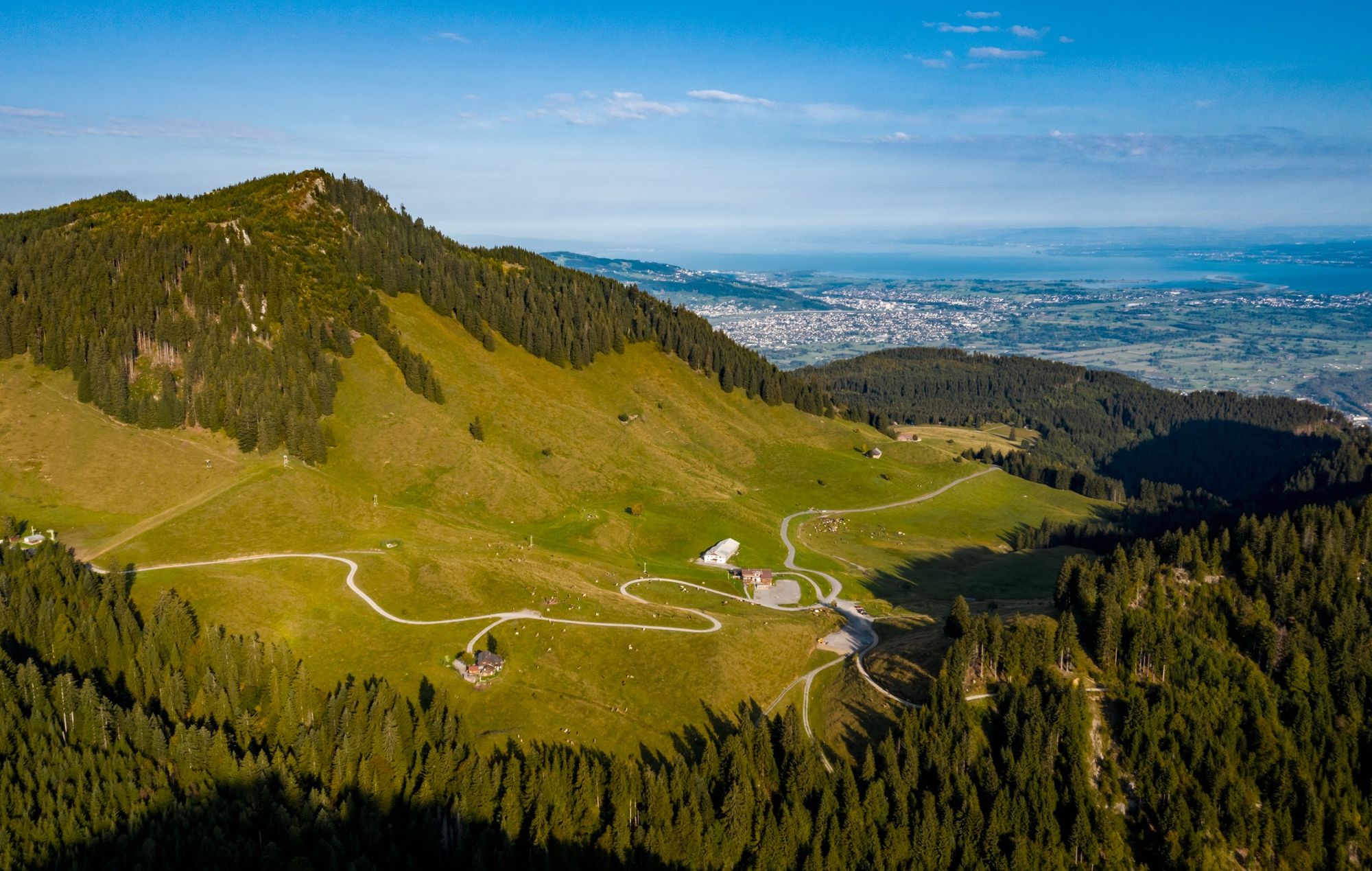
Alpwanderung: Hohenems Schuttannen - Hinterbergalpe - Schönermannalpe - Fluhereck - Gsohl

Escursionismo
© Bodensee-Vorarlberg Tourismus GmbH - Stiplovsek Dietmar
© Bodensee-Vorarlberg Tourismus GmbH - Michael Gunz
© Bodensee-Vorarlberg Tourismus GmbH - Stiplovsek Dietmar pauschal


- Descrizione rapida
-
- Difficoltà
-
intermedio
- Valutazione
-
- Percorso
-
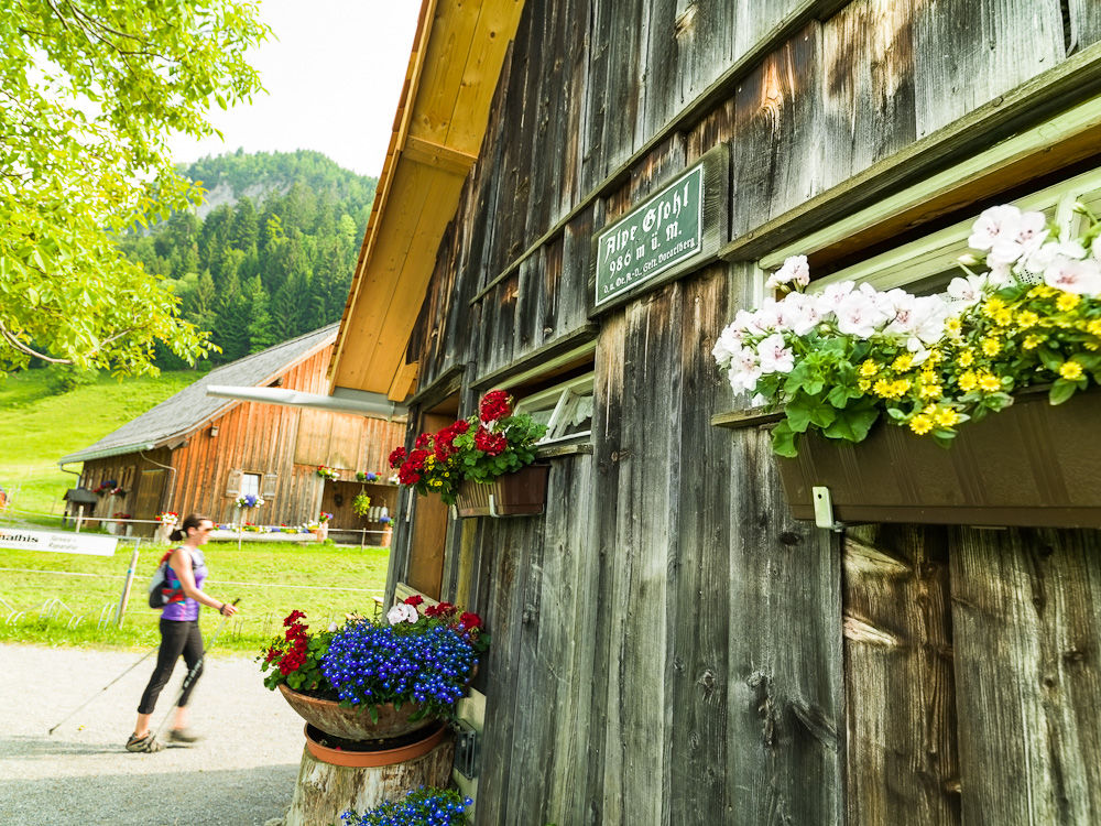
Schuttannen0,1 kmEmser Hütte4,9 kmÄlpele6,6 kmAlpe Gsohl7,8 kmHohenems (432 m)7,8 kmGsohlalpe7,8 kmEmser Hütte10,7 kmSchuttannen15,6 km
- La stagione migliore
-
genfebmaraprmaggiulugagosetottnovdic
- Punto più alto
- 1.423 m
- Destinazione
-
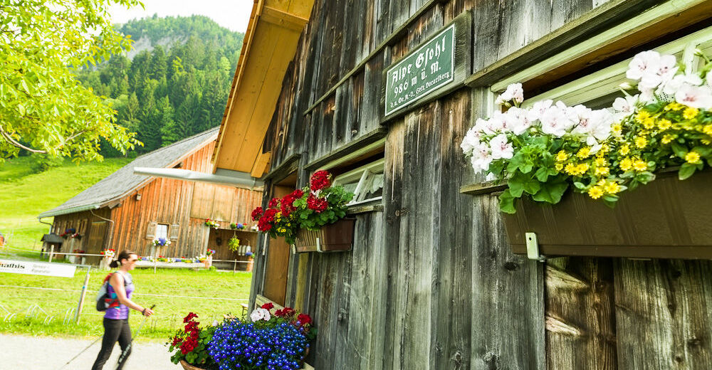
Berggasthof Schuttannen
- Profilo altimetrico
-


- Autore
-
Il tour Alpwanderung: Hohenems Schuttannen - Hinterbergalpe - Schönermannalpe - Fluhereck - Gsohl è utilizzato da outdooractive.com fornito.
GPS Downloads


Info generali
Punto di ristoro
Altri tour nelle regioni
-
St. Gallen - Bodensee
2067
-
Bodensee - Vorarlberg
1317
-
Hohenems
348


