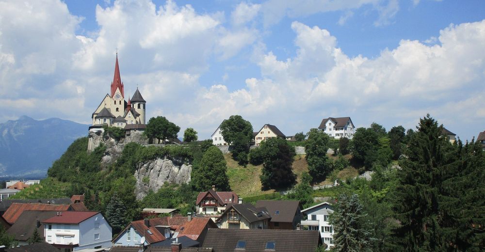
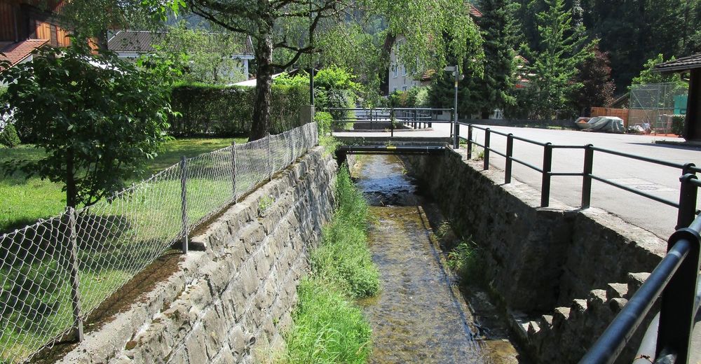
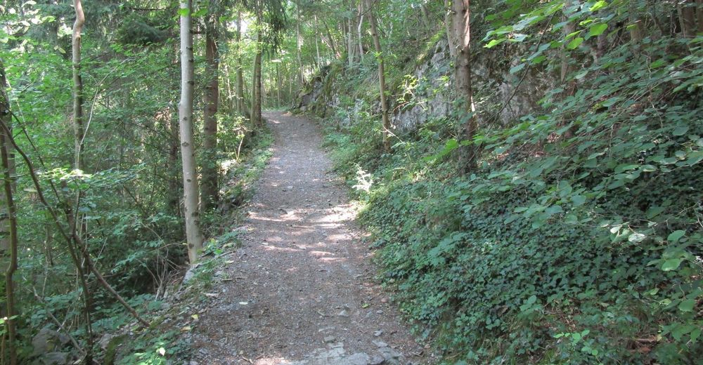
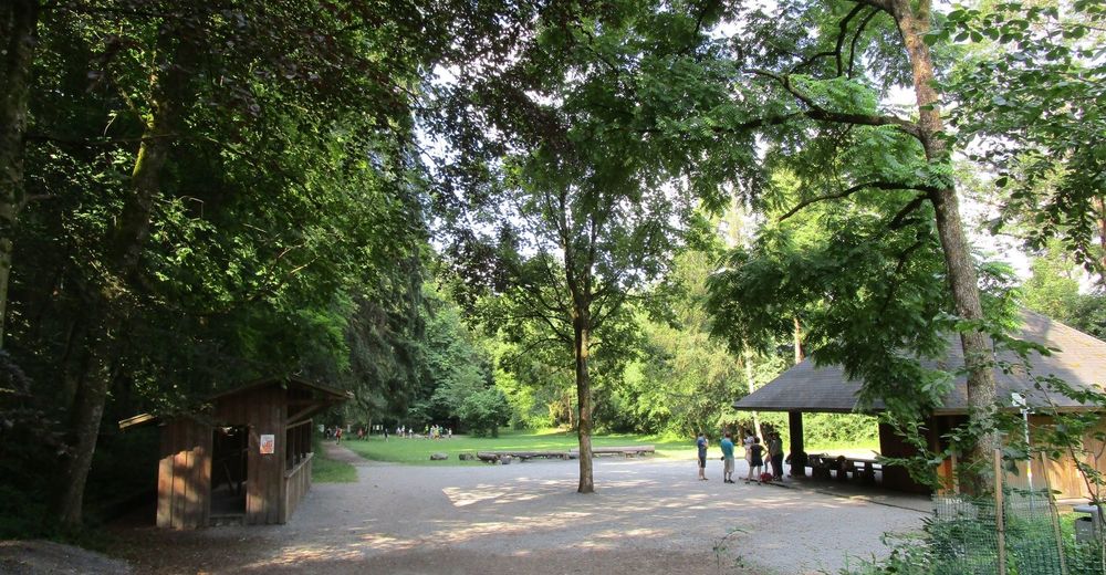
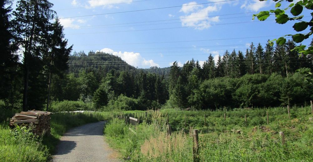
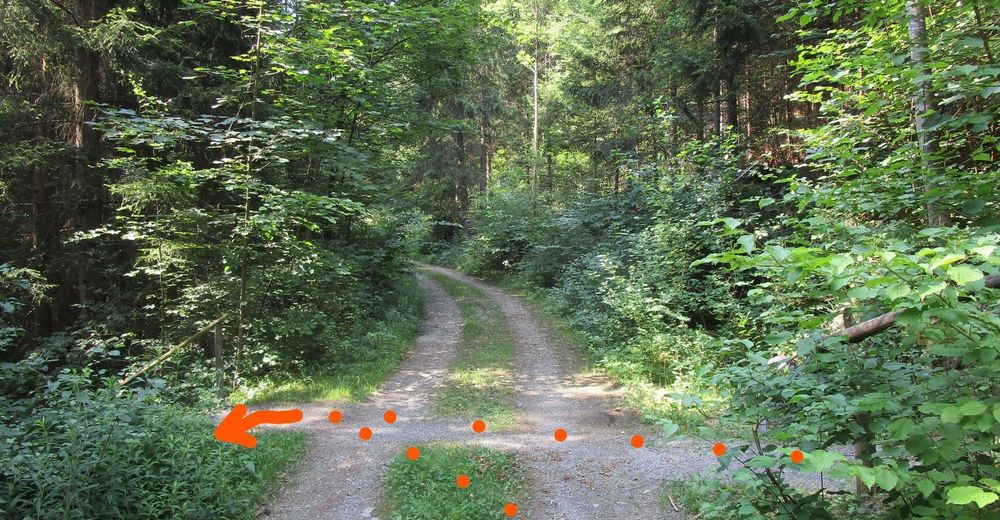
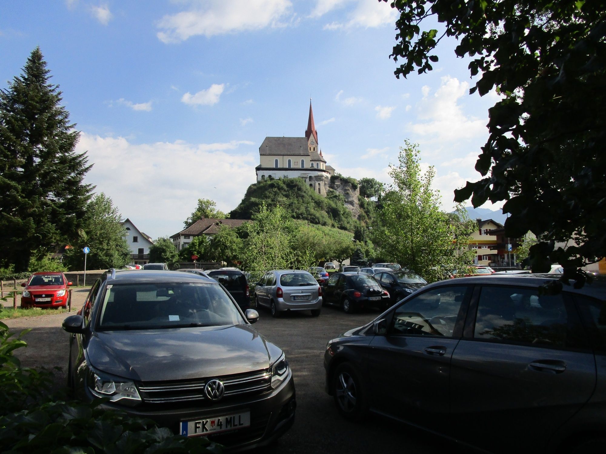
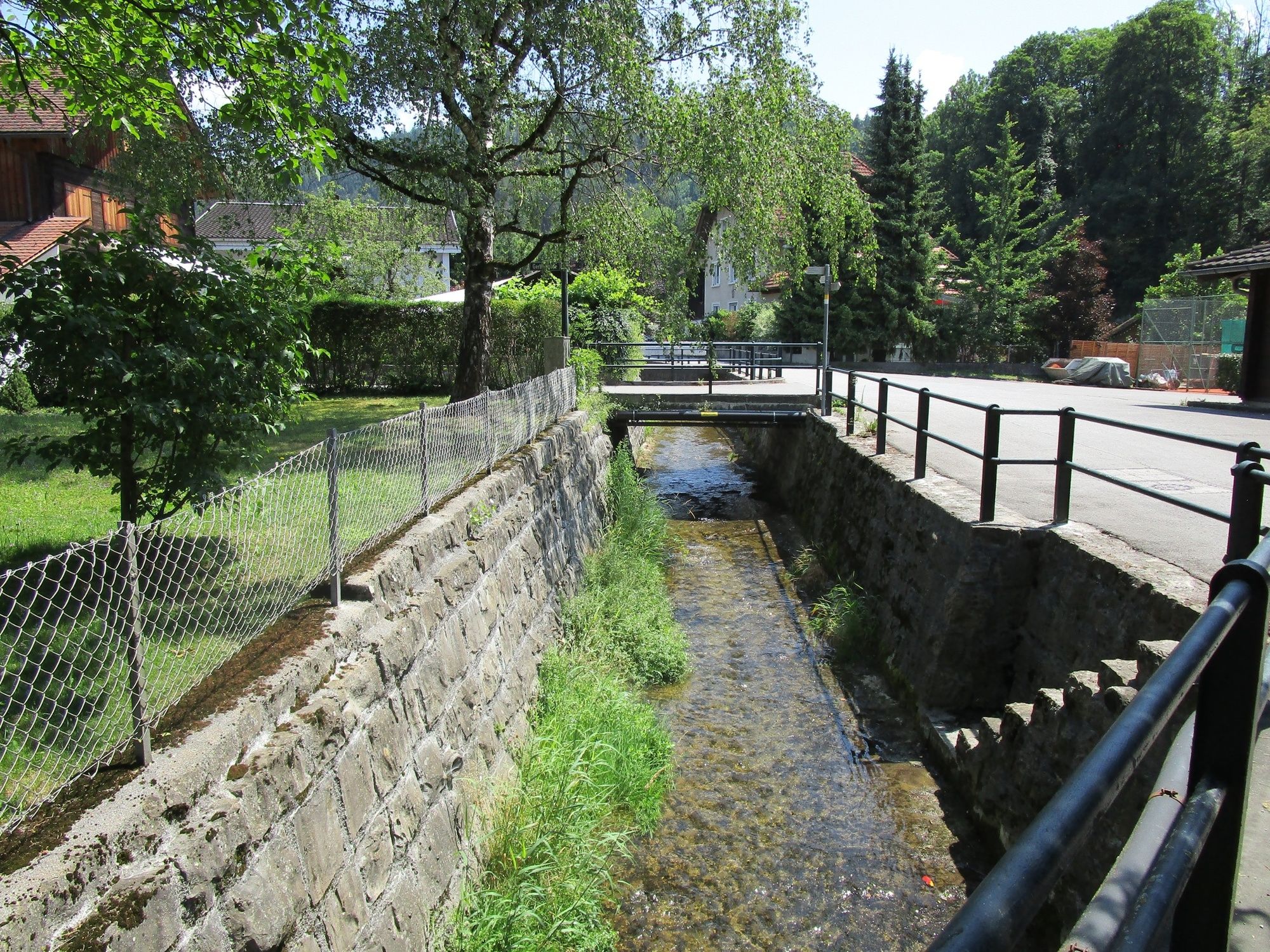
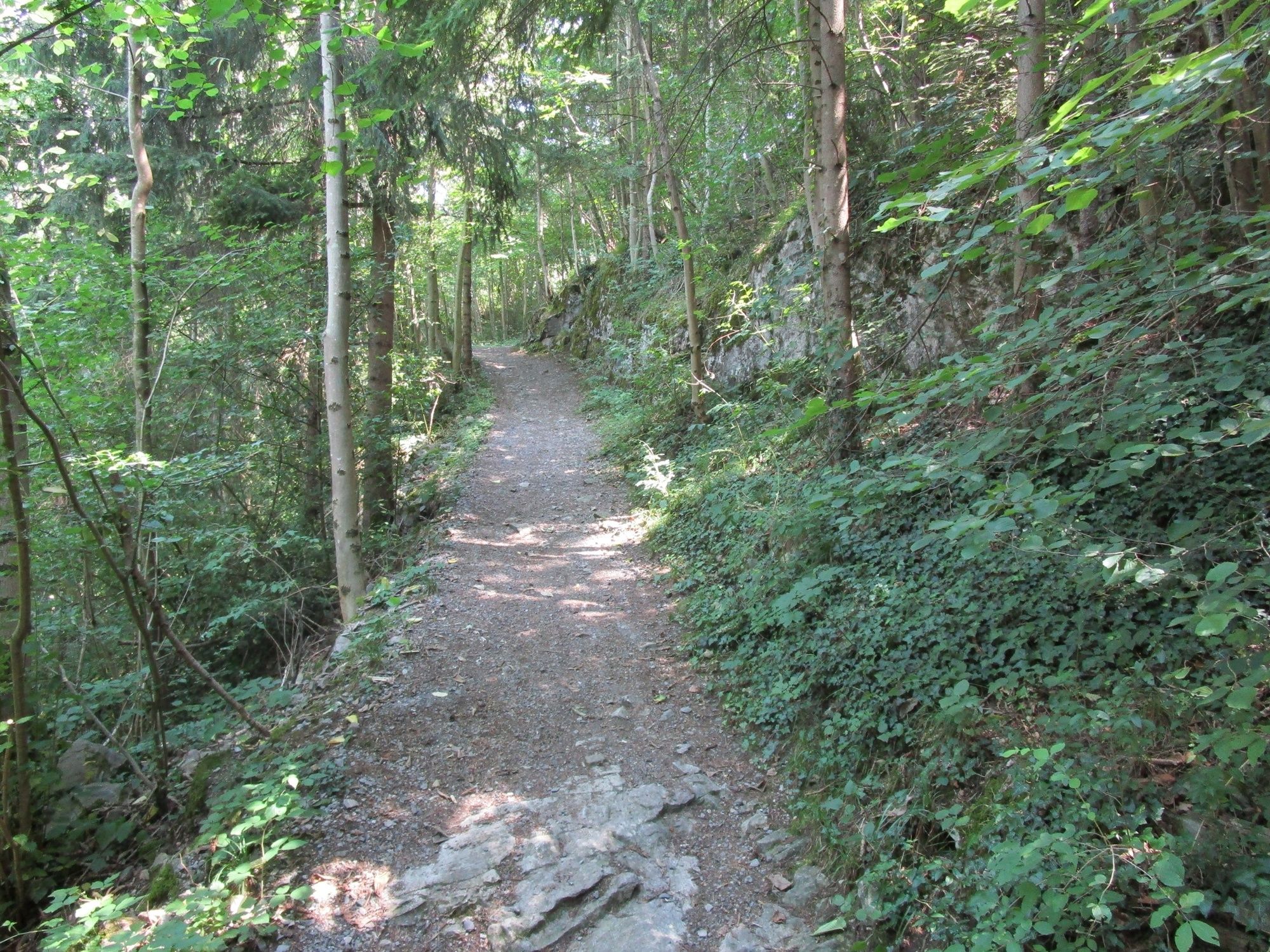
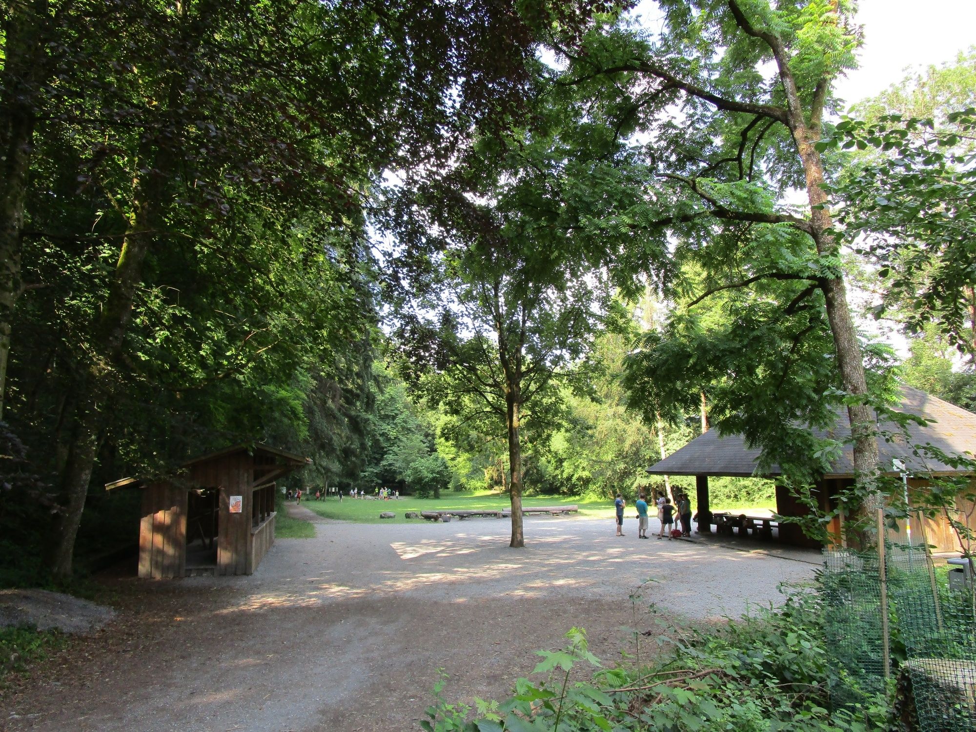
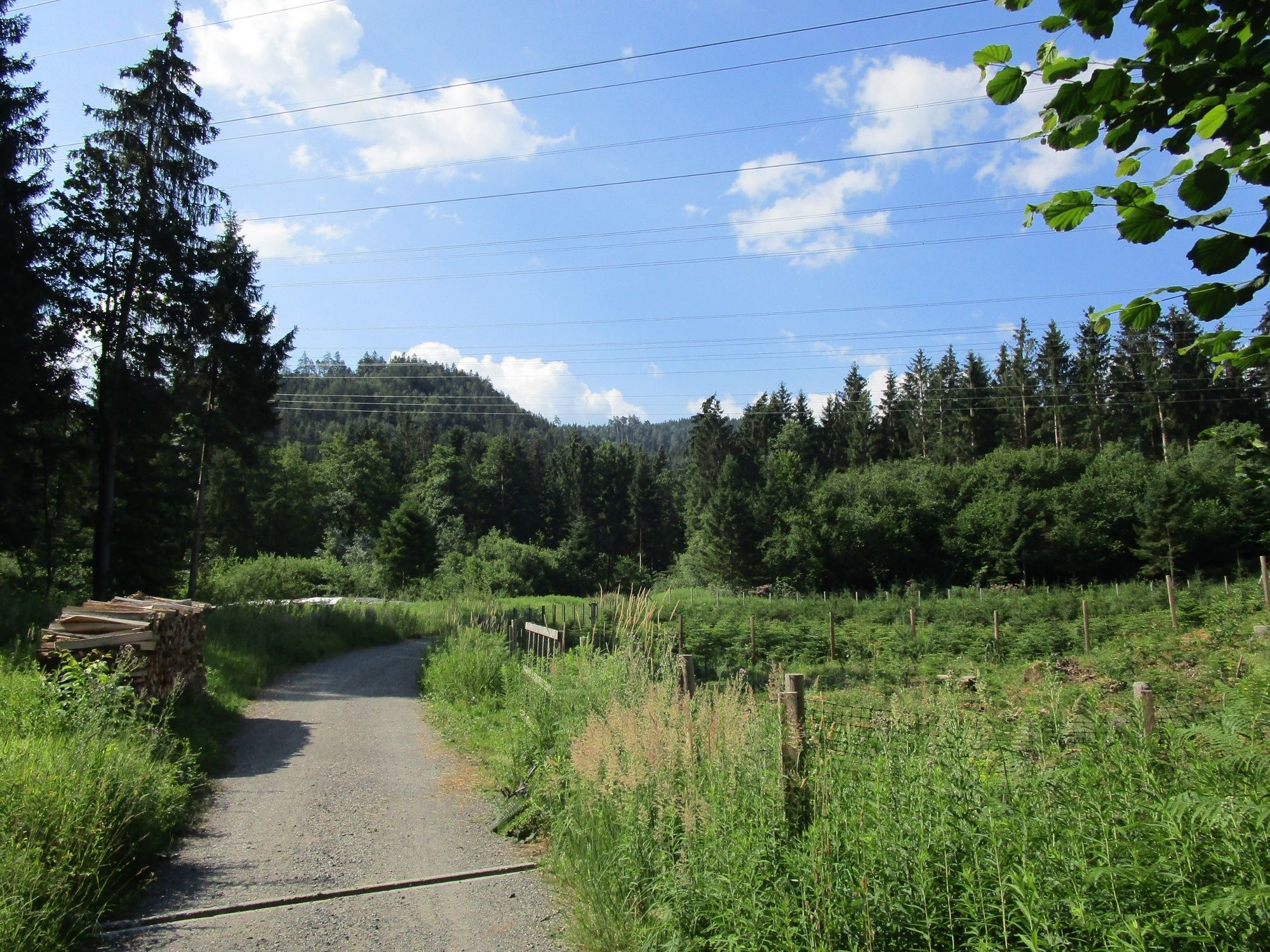
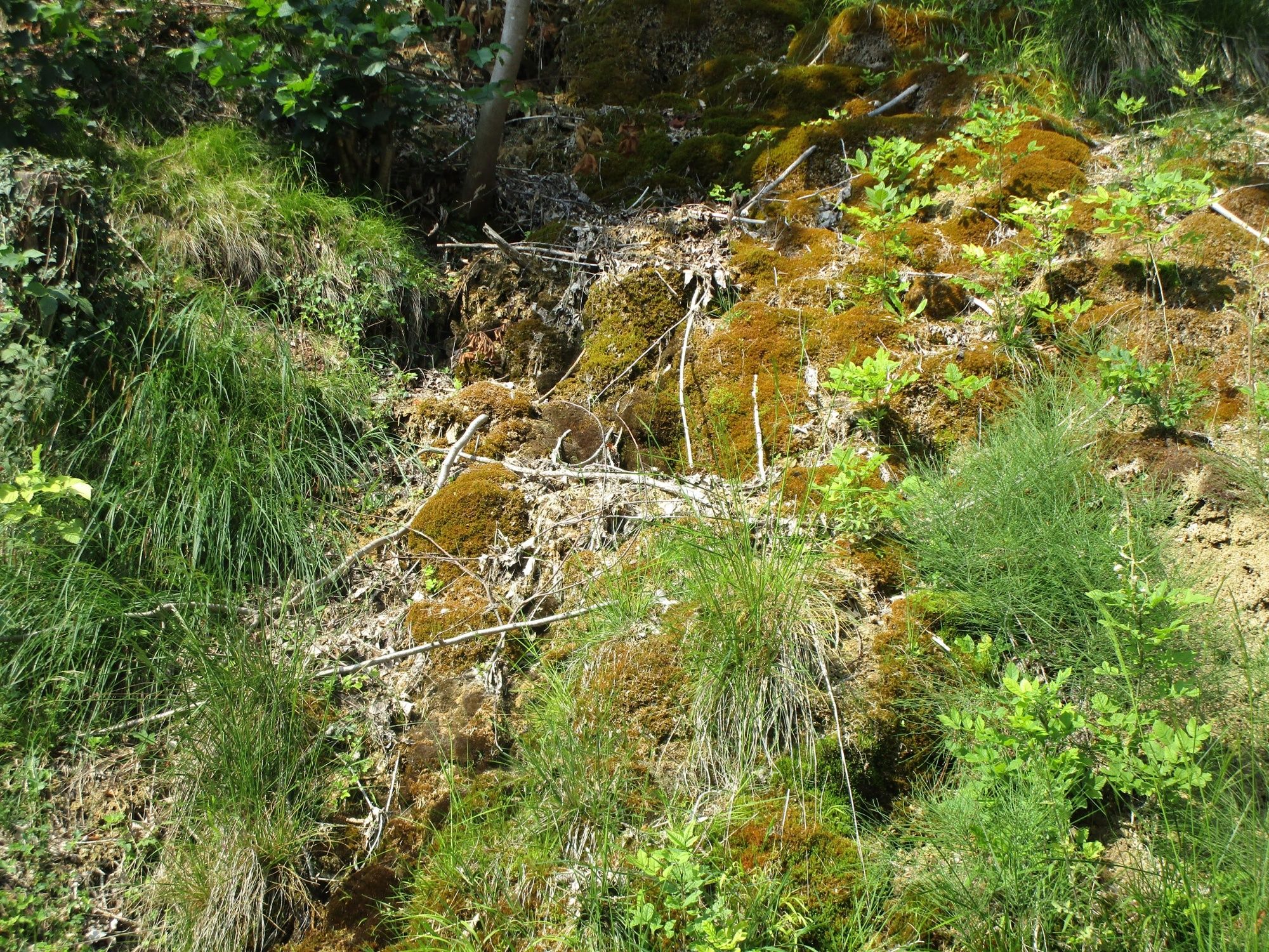
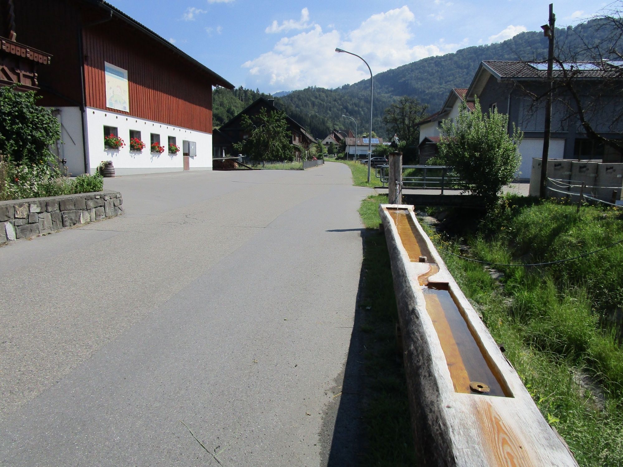
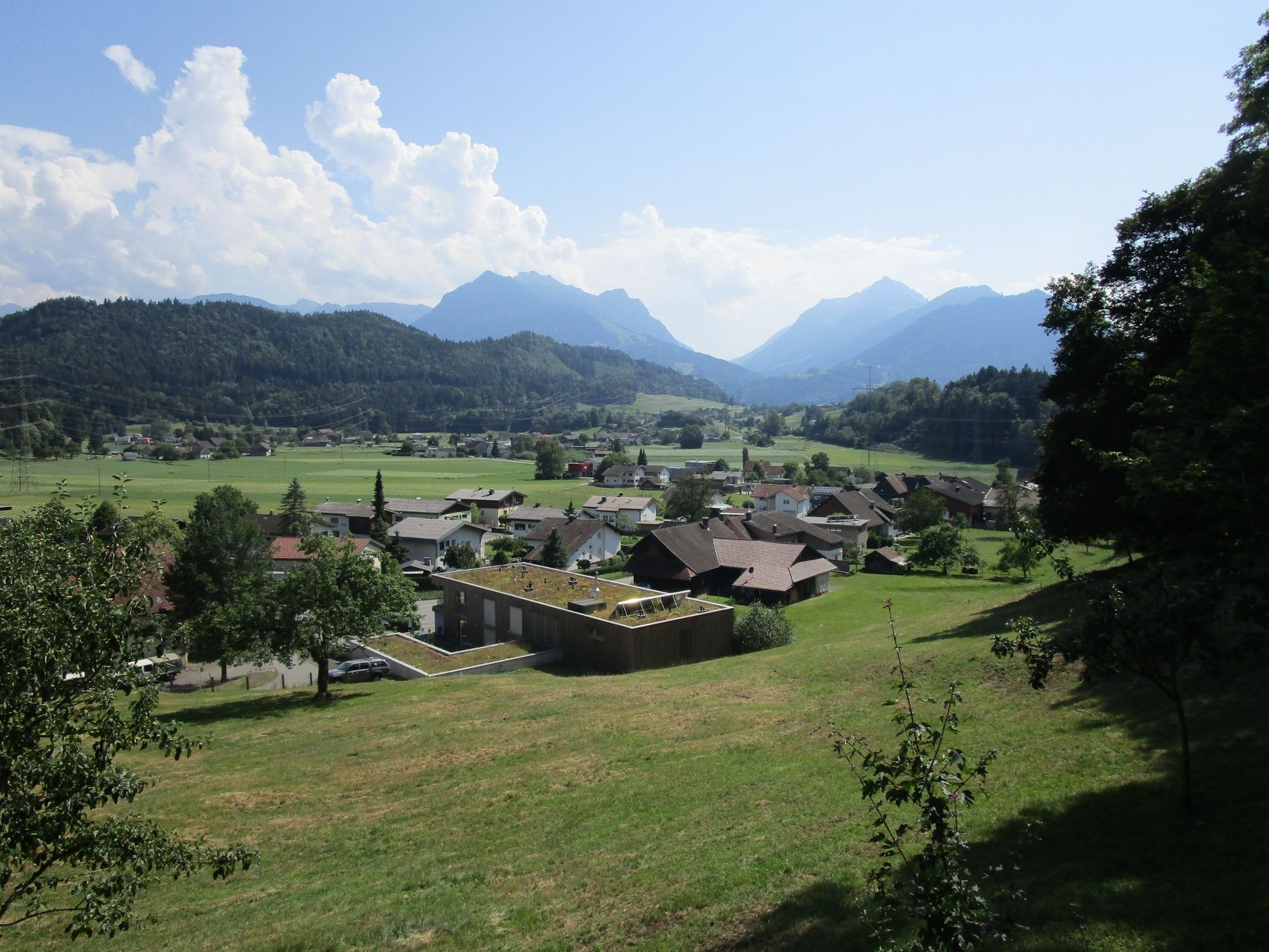
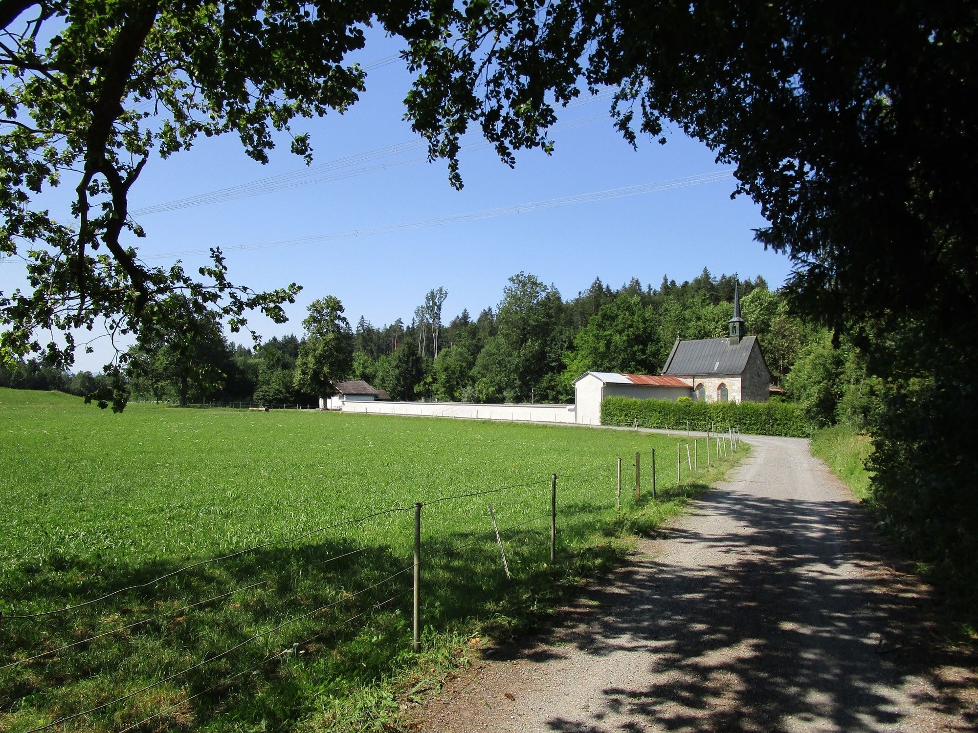
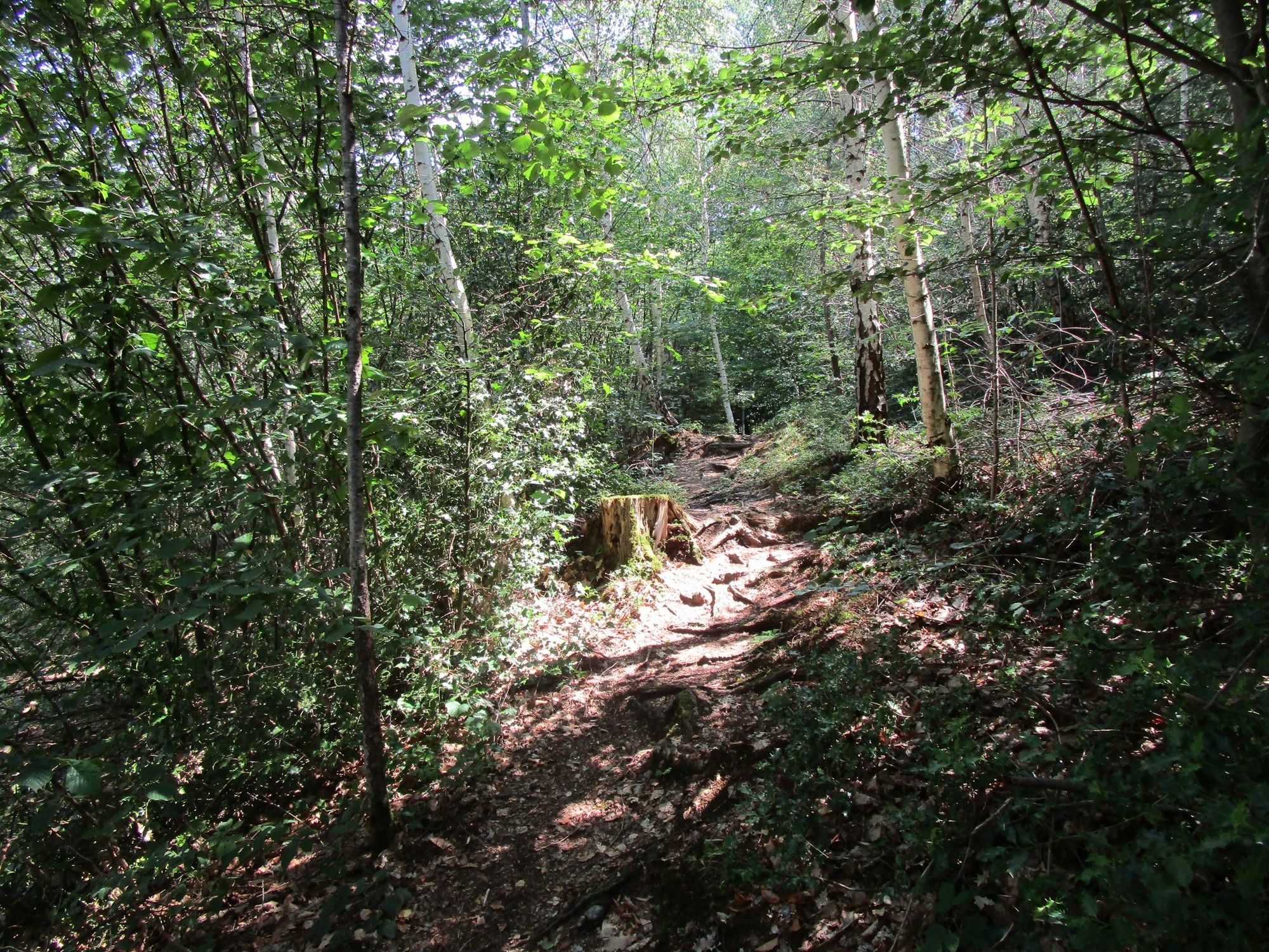
A leisurely hike through the shady forests of Rankweil

Escursionismo
© www.guideservice.at - Erich Zucalli
© www.guideservice.at - Erich Zucalli
© www.guideservice.at - Erich Zucalli
© www. guideservice.at - Erich Zucalli

© www.guideservice.at - Erich Zucalli
© www.guideservice.at - Erich Zucalli
© www.guideservice.at - Erich Zucalli
© www.guideservice.at - Erich Zucalli
© www.guideservice.at - Erich Zucalli
© www.guideservice.at - Erich Zucalli

- Descrizione rapida
-
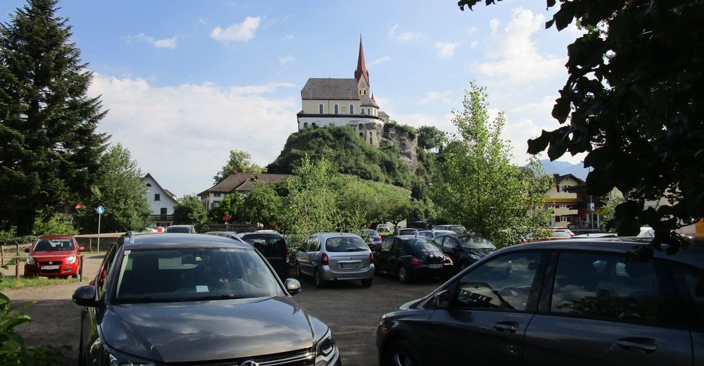
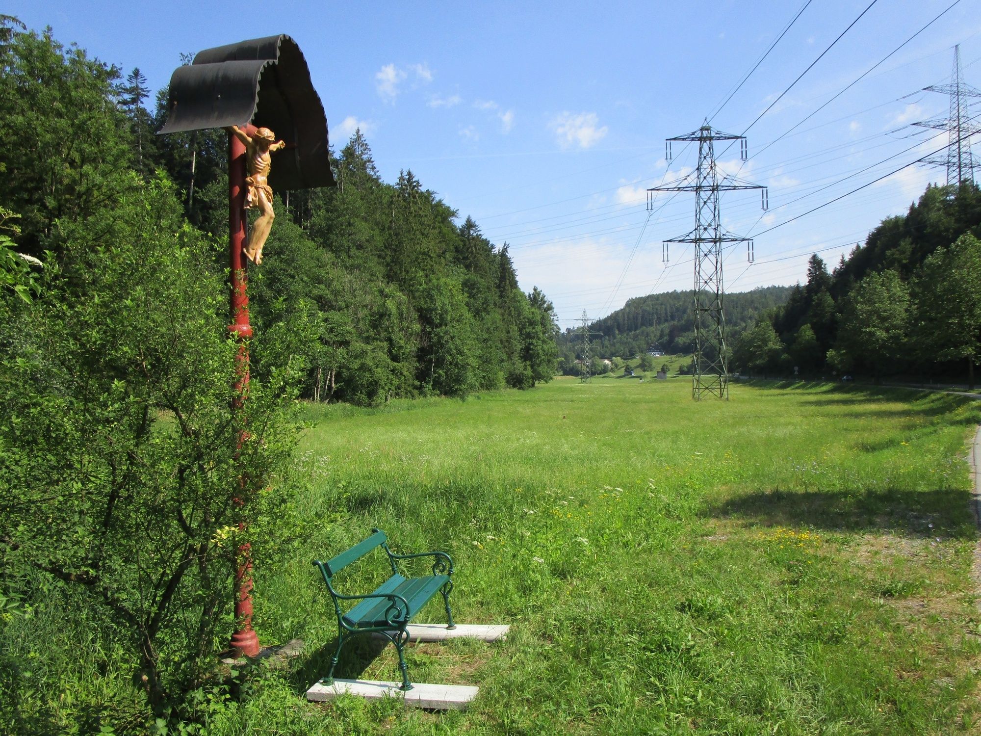
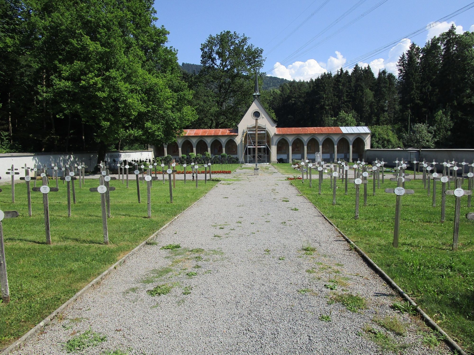
From the starting point across Schafplatz to Tufers, up to the plain of Egeta with Valduna cemetery and via the Pfarrschrofen back to the starting point.
- Difficoltà
-
intermedio
- Valutazione
-
- Percorso
-
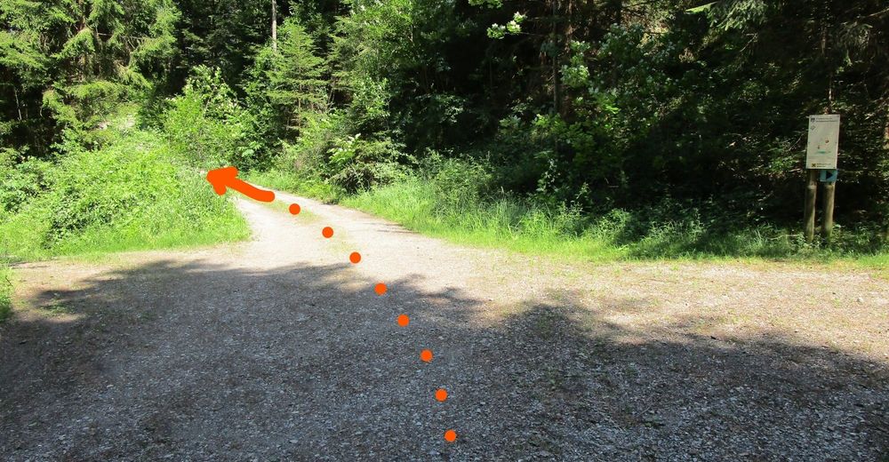
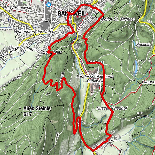
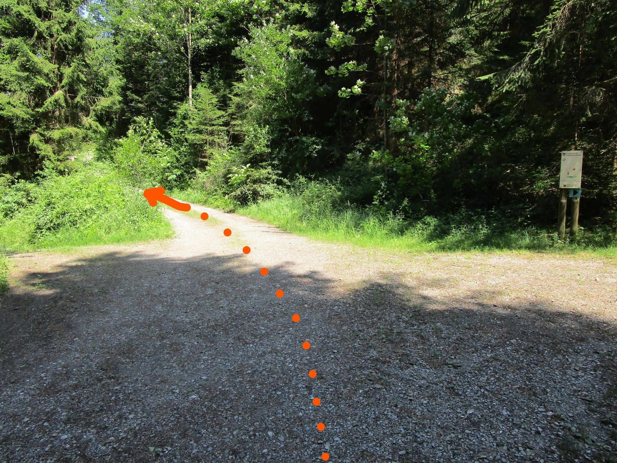
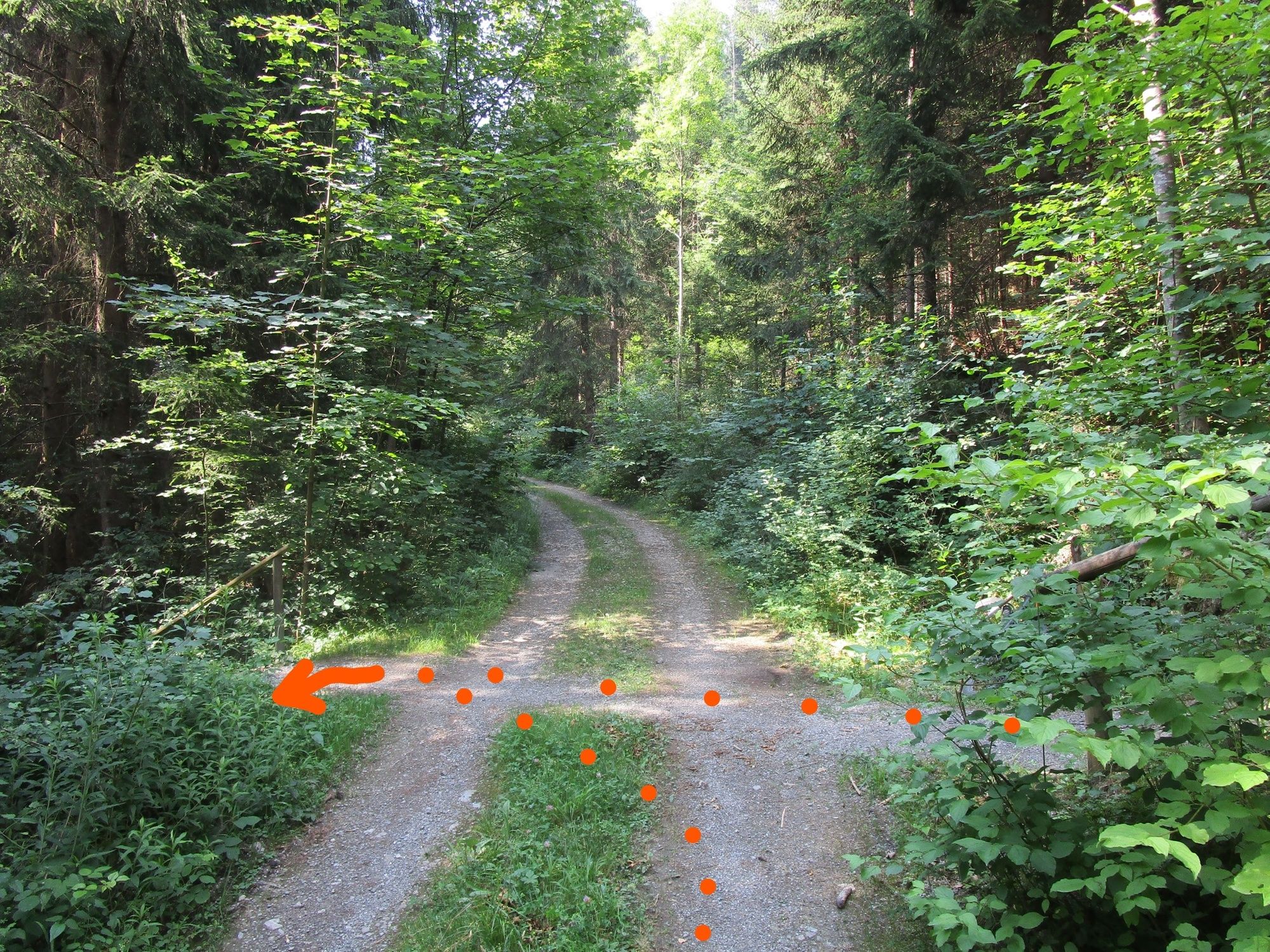
Peterskirche0,1 kmRiedle1,6 kmNesslersbühel2,7 kmTillis3,1 kmQuadrescha3,5 kmWalserholz5,2 kmEgata5,7 kmKriasibühel6,2 kmAm Zoll7,1 kmPfarrschrofenausblick7,3 kmRankweil8,3 km
- La stagione migliore
-
genfebmaraprmaggiulugagosetottnovdic
- Punto più alto
- 552 m
- Destinazione
-
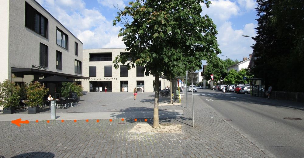
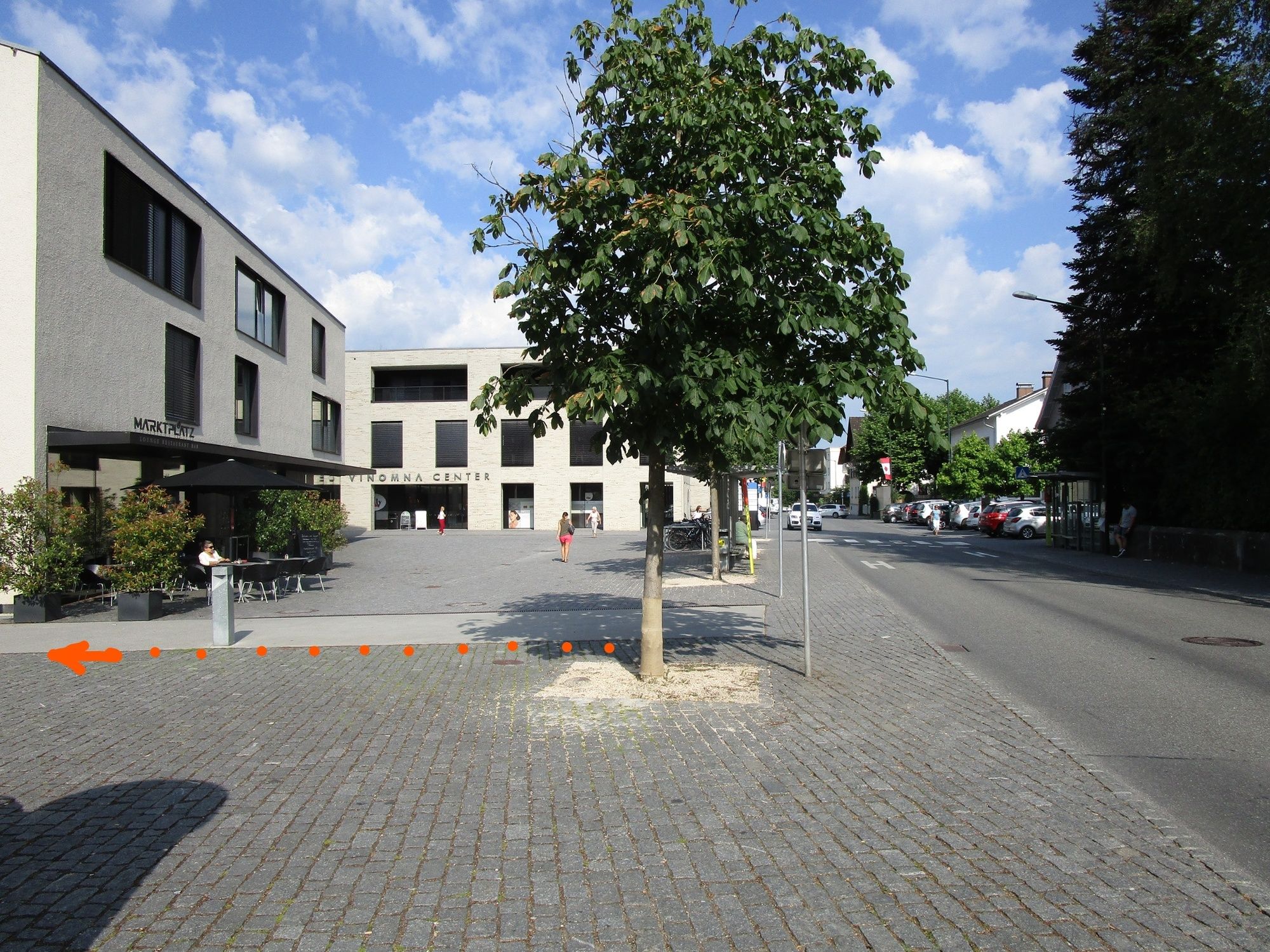
Rankweil Marktplatz
- Profilo altimetrico
-


- Autore
-
Il tour A leisurely hike through the shady forests of Rankweil è utilizzato da outdooractive.com fornito.
GPS Downloads


Info generali
Punto di ristoro
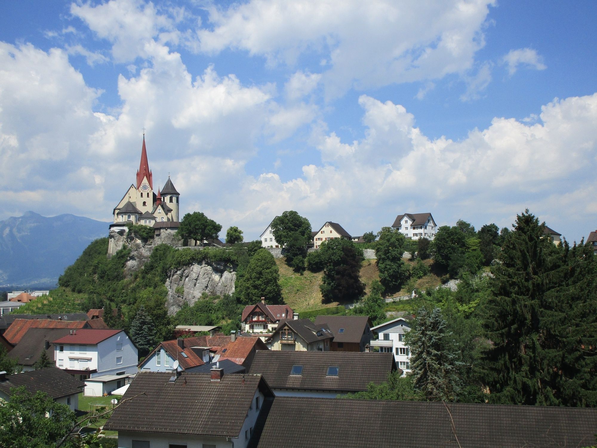
Culturale/Storico
Altri tour nelle regioni
-
St. Gallen - Bodensee
2070
-
St. Galler Rheintal
1336
-
Rankweil
322


