

© Bodensee-Vorarlberg Tourismus GmbH - Erich Zucchali / www.guideservice.at

© w - Erich Zucalli

© www.guideservice.at - Erich Zucalli

© www.guideservice.at - Erich Zucalli

© www.guideservice.at - Erich Zucalli

© www.guideservice.at - Erich Zucalli

© www.guideservice.at - Erich Zucalli

© www.guideservice.at - Erich Zucalli

© www.guideservice.at - Erich Zucalli

© www.guideservice.at - Erich Zucalli

- Descrizione rapida
-
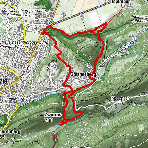
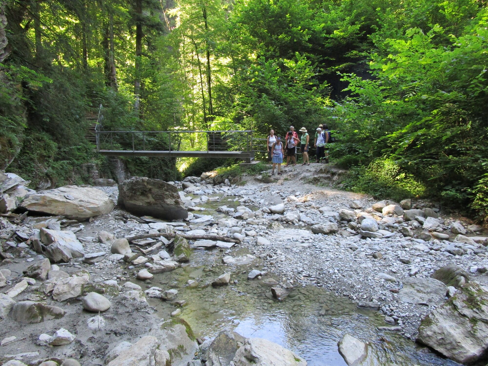
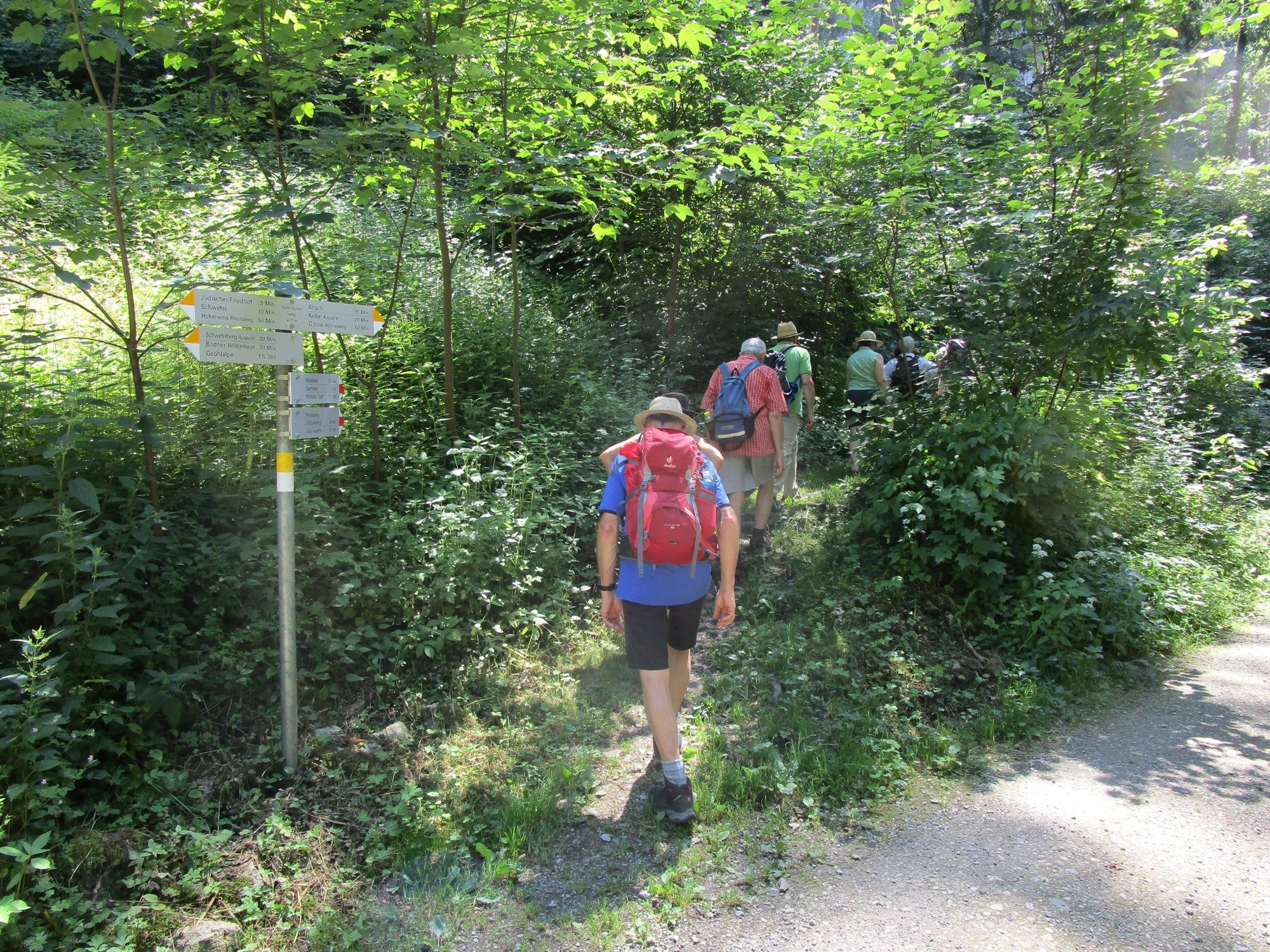
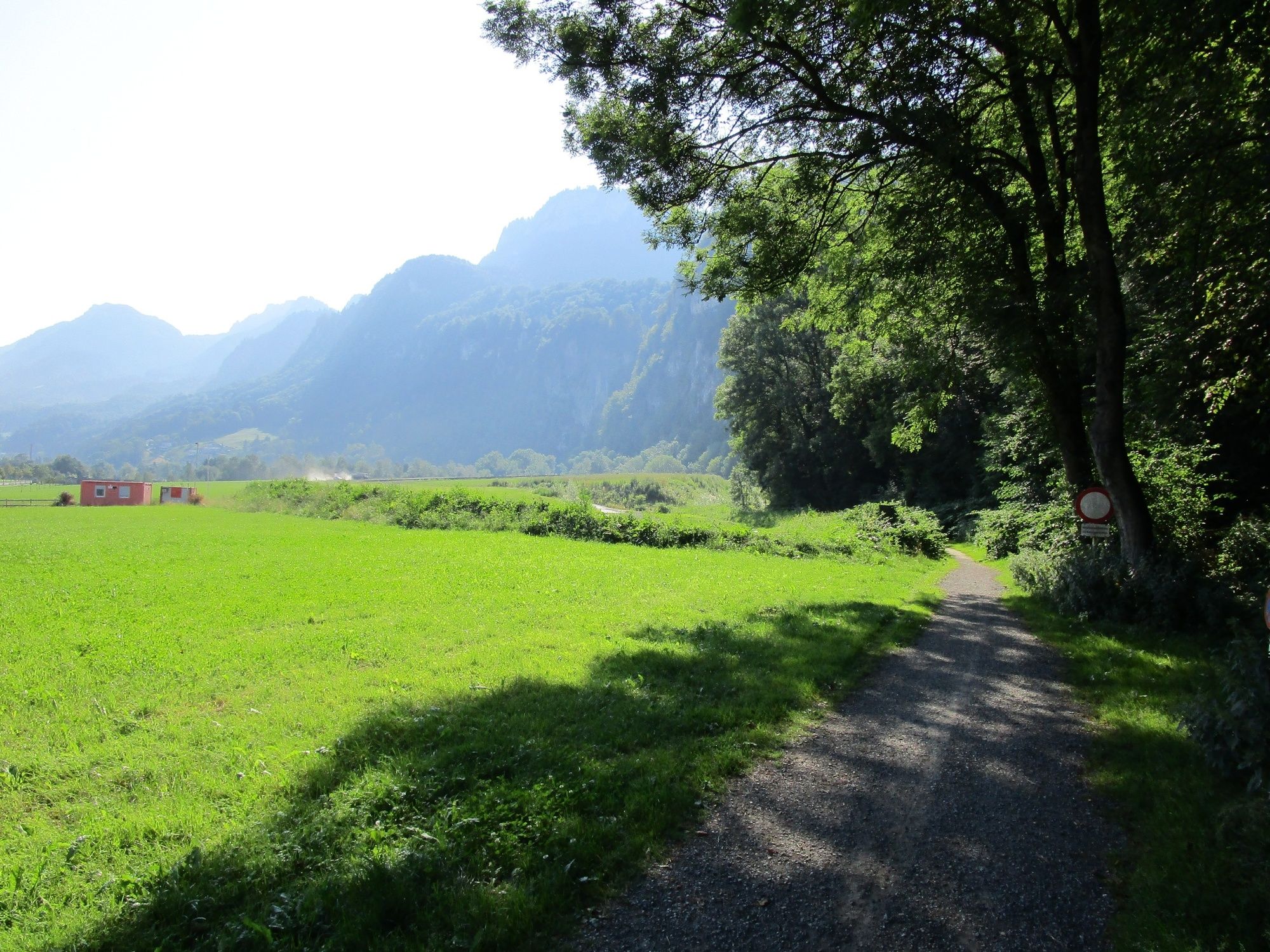
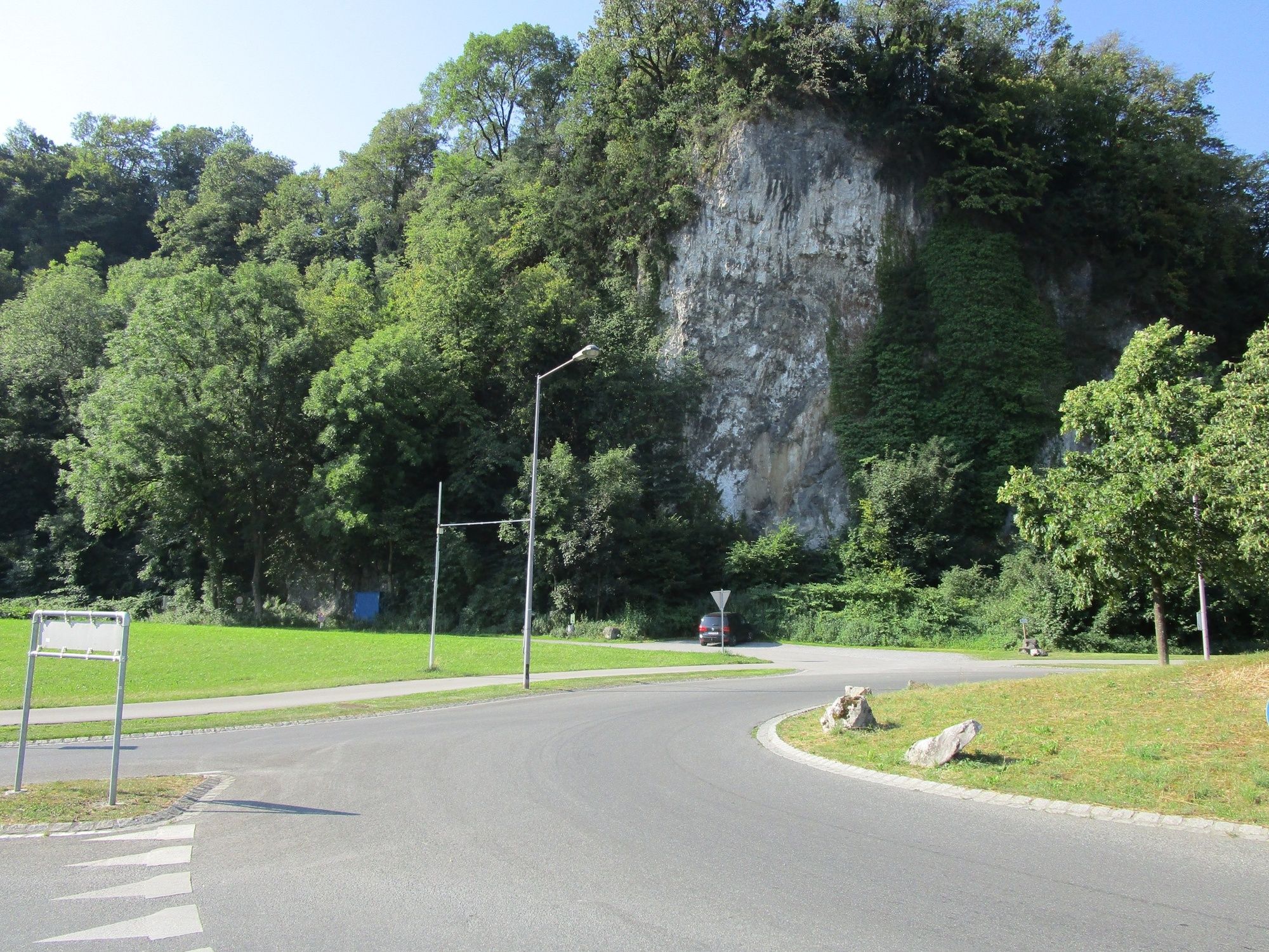
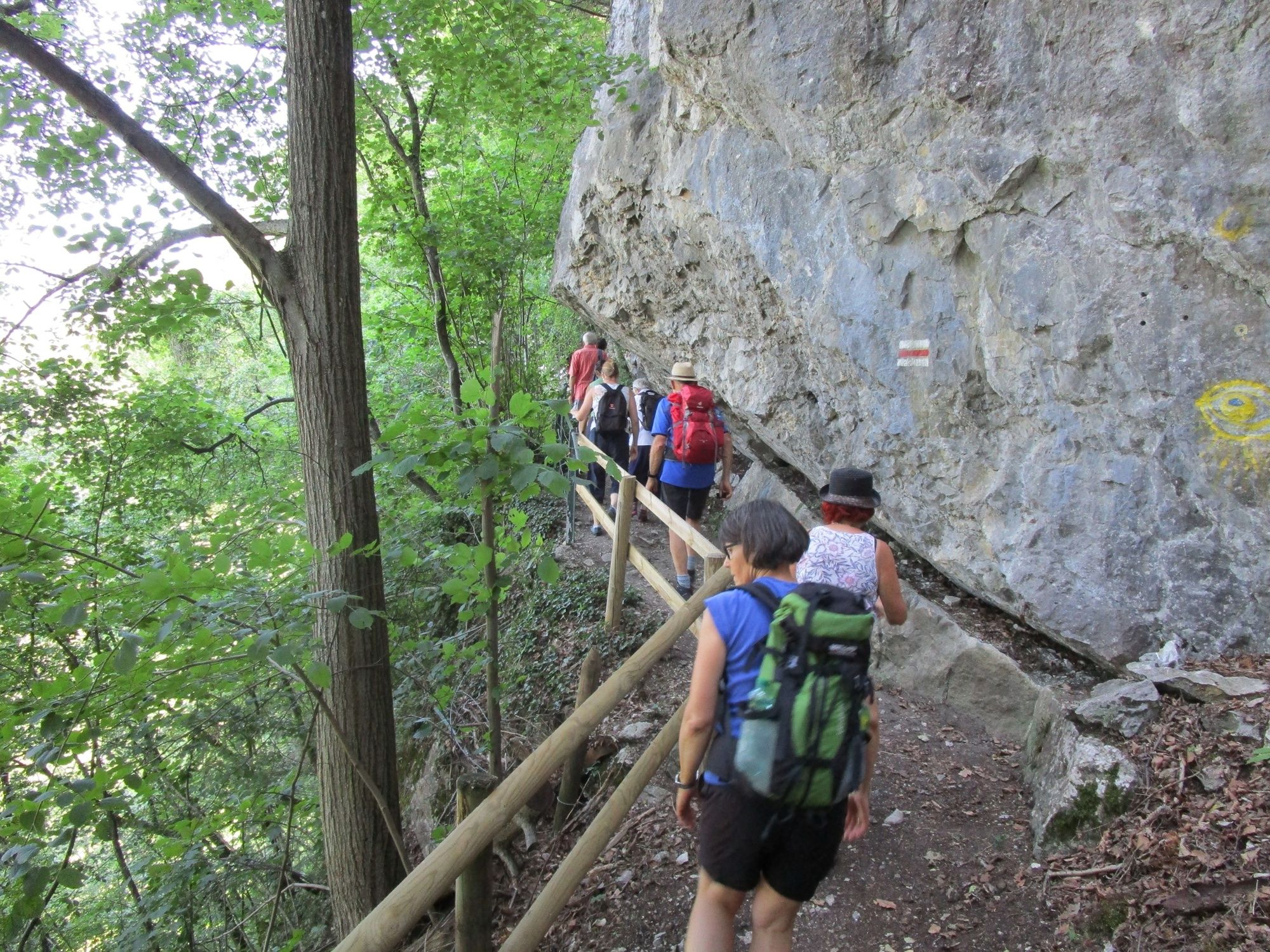
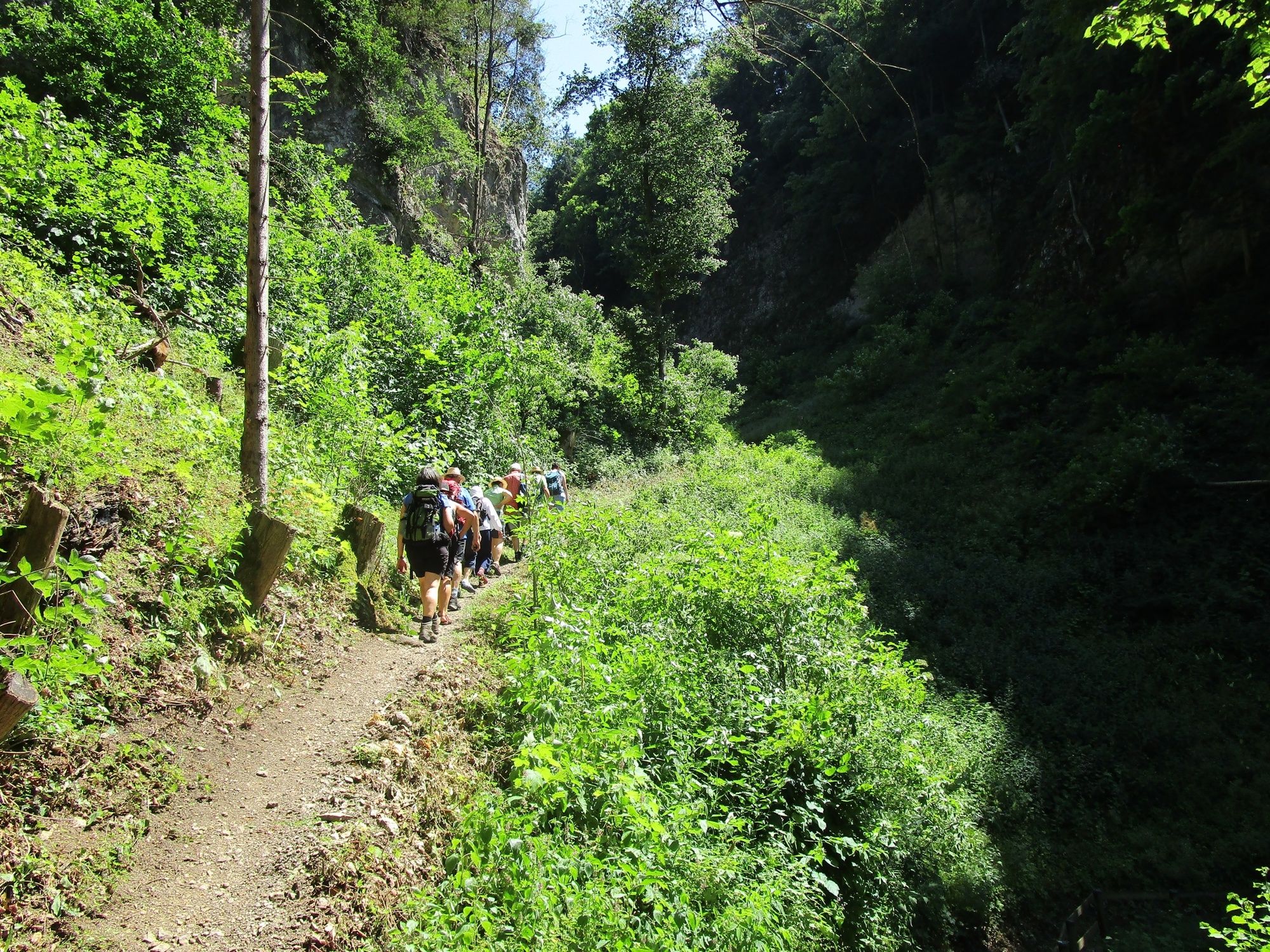
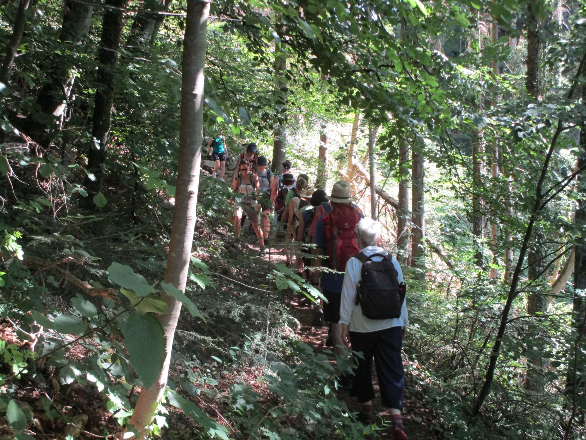
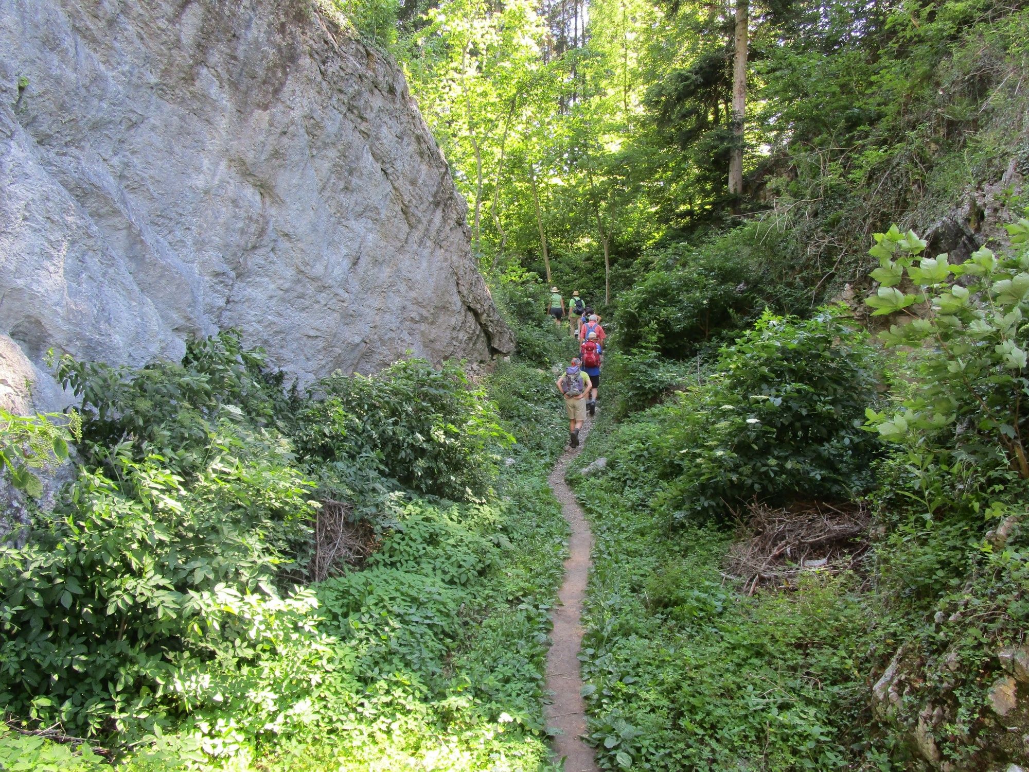
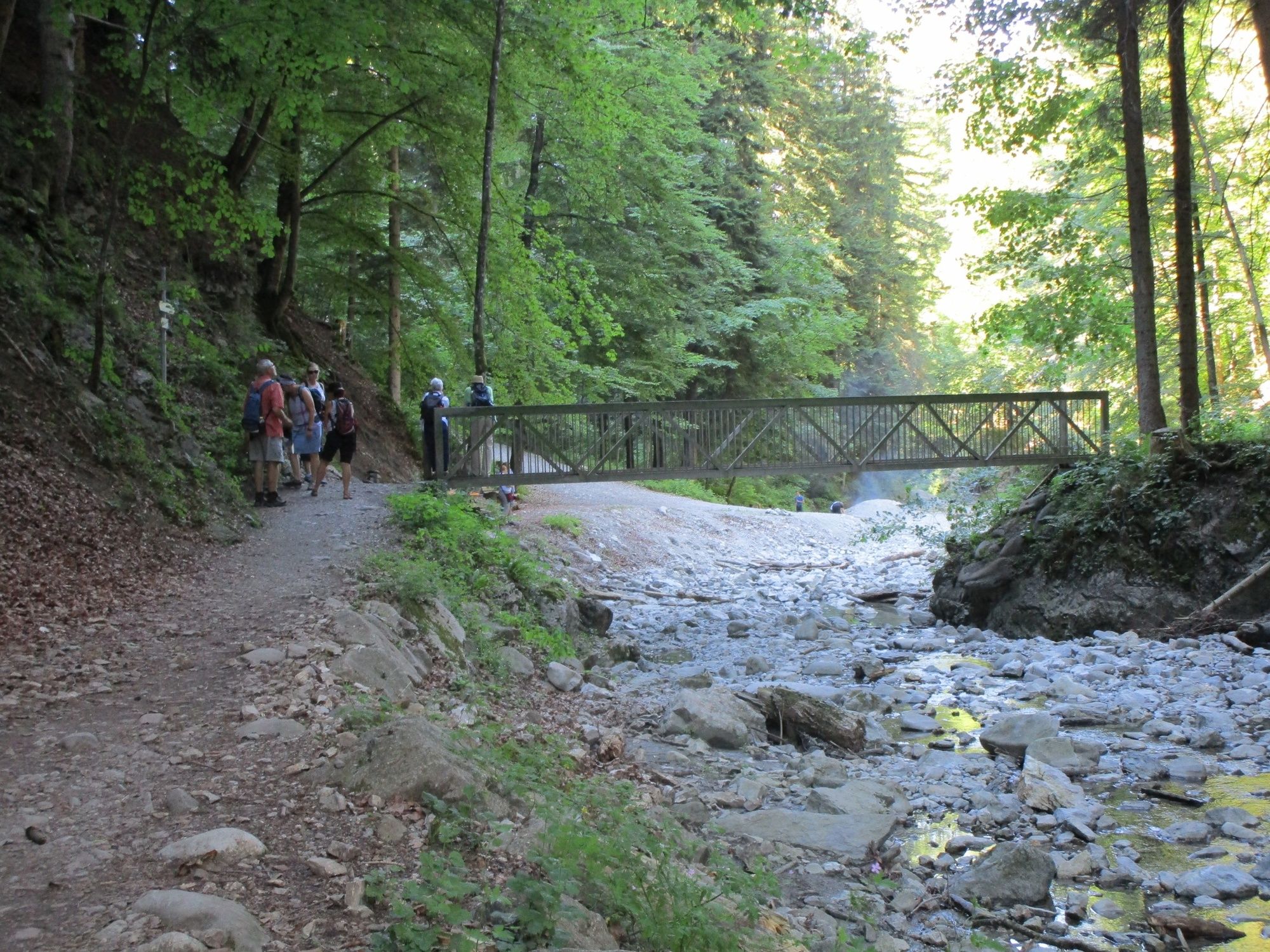
A hike into the past: across the Ur-Ill’s gorge created at the edges of the ice and the Fallenkobelweg to the Örflaschlucht (gorge). Back up to Rütte to return along the Lusbühlweg to the starting point, the Kobel.
- Difficoltà
-
facile
- Valutazione
-
- Percorso
-
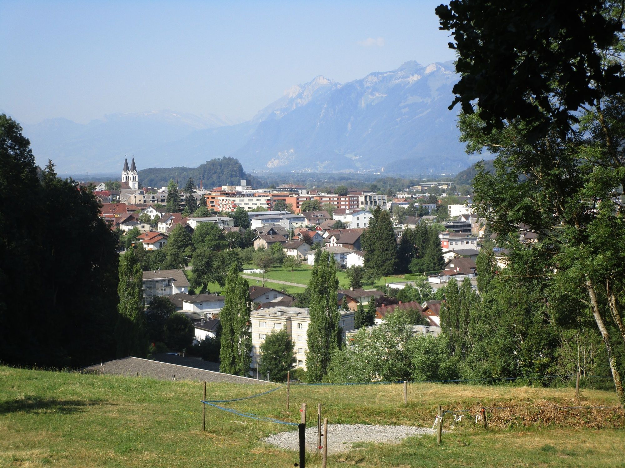
Götznerberg2,2 kmÖrflaschlucht4,1 kmQuelle Inmakulata4,6 kmGötzis (448 m)5,7 kmKobel Kapelle6,4 km
- La stagione migliore
-
genfebmaraprmaggiulugagosetottnovdic
- Punto più alto
- 626 m
- Destinazione
-
Parking place Kobel
- Profilo altimetrico
-


- Autore
-
Il tour Götzis and the gorges of the Ice Age è utilizzato da outdooractive.com fornito.
GPS Downloads


Info generali
Culturale/Storico
Altri tour nelle regioni
-
St. Gallen - Bodensee
2066
-
St. Galler Rheintal
1333
-
Götzis
348


