Tschengla - Mondspitze - Schillerkopf / Bürserberg

Escursionismo


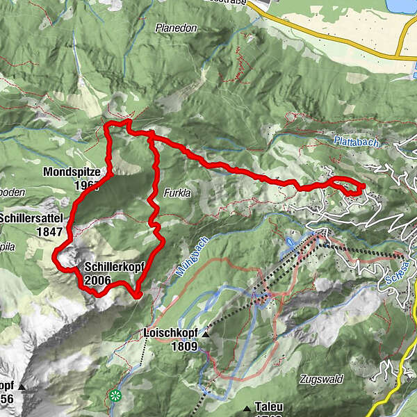
Dati percorsi
14,15km
1.187
- 1.974m
951hm
943hm
05:14h
- Descrizione rapida
-
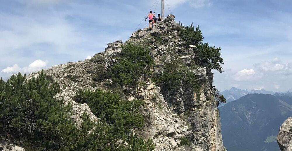
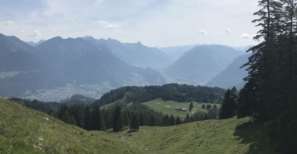
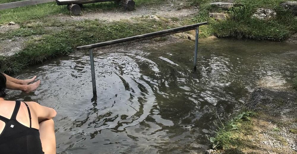
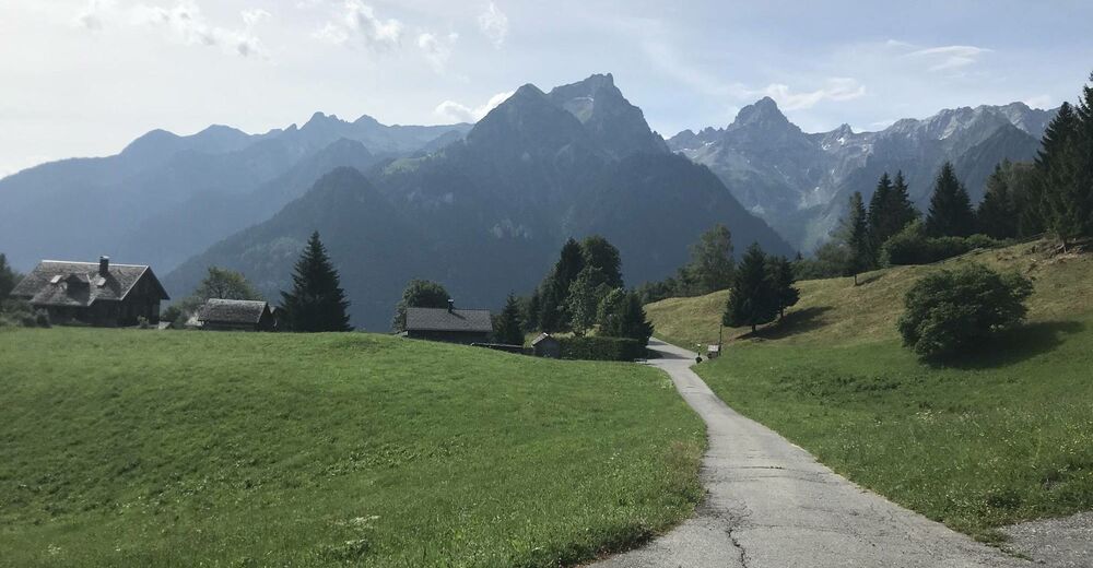
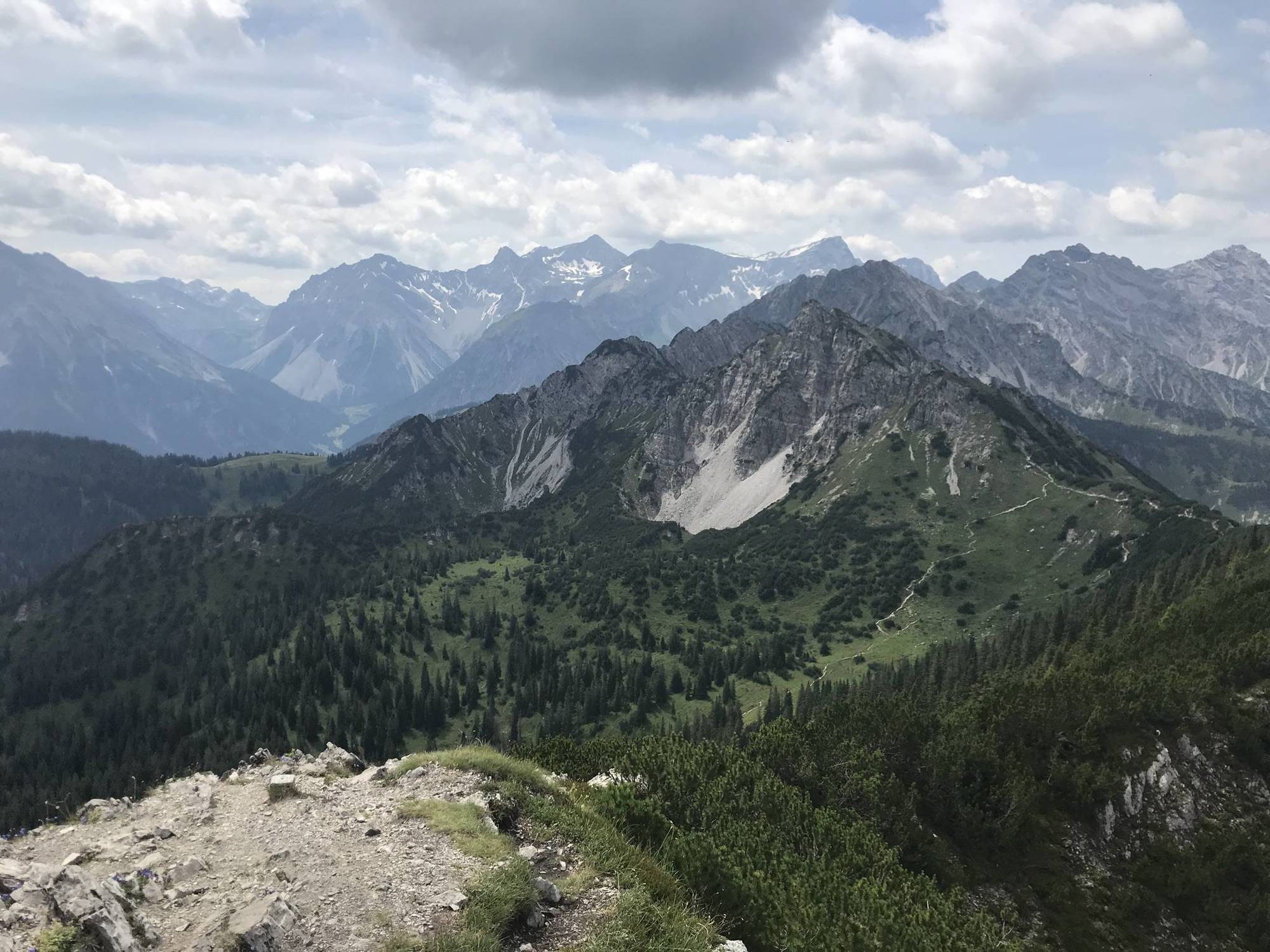
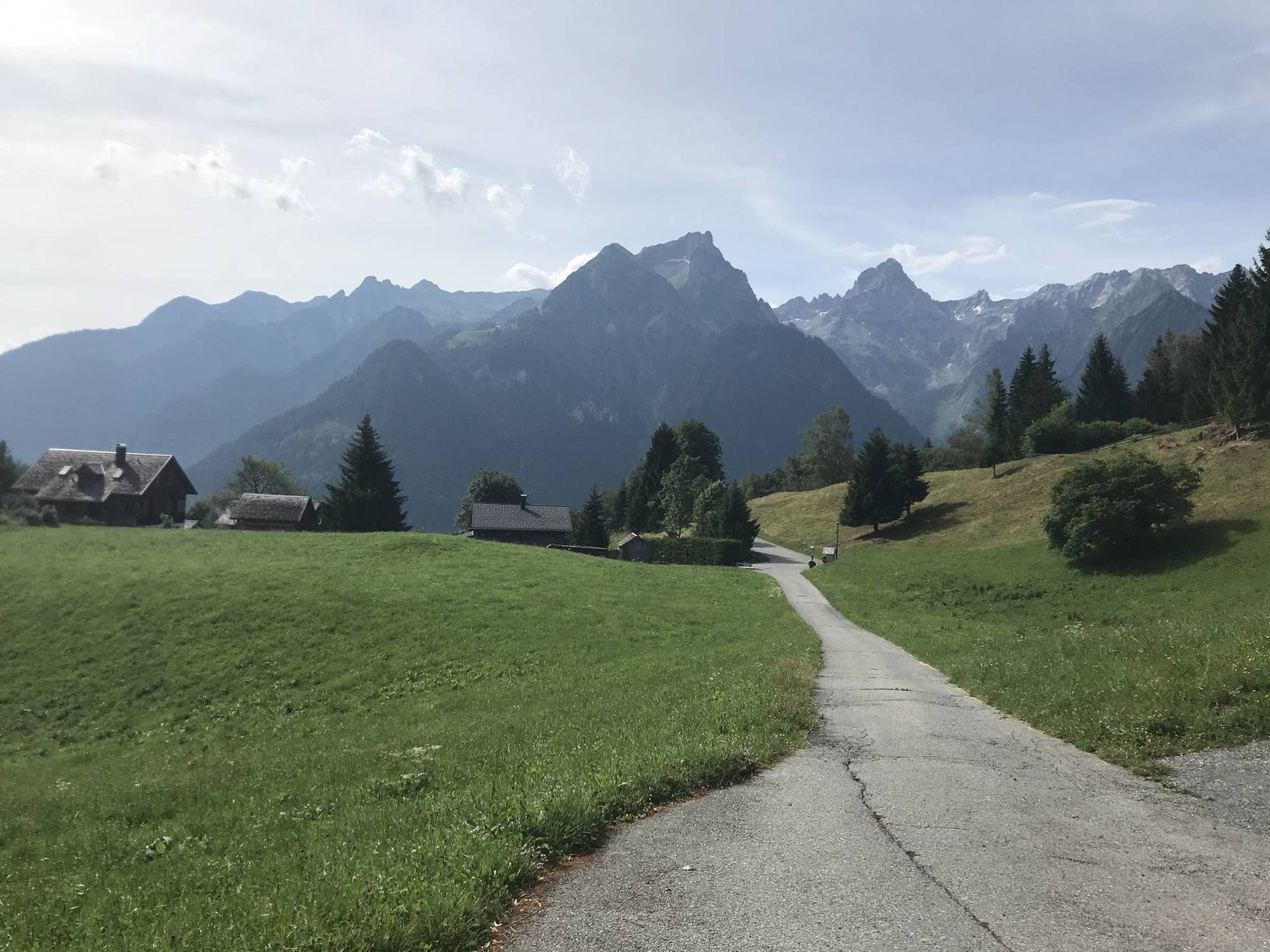
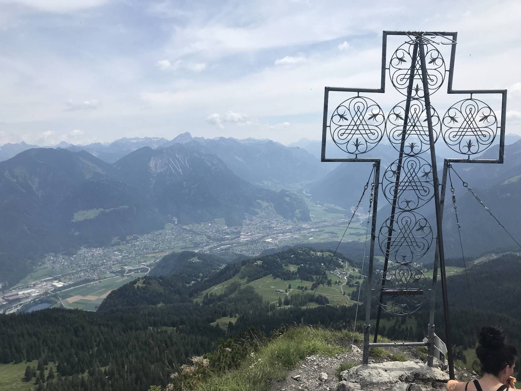
Wir sind direkt an der Ferienwohnung gestartet. Einen Parkplatz findet man am Hotel Landal Brandnertal. Von hier zu unseren Ausgangspunkt 15-20 Minuten dazurechnen. Sagenhafter Ausblick vom Schillerkopf.
- Difficoltà
-
intermedio
- Valutazione
-
- Percorso
-
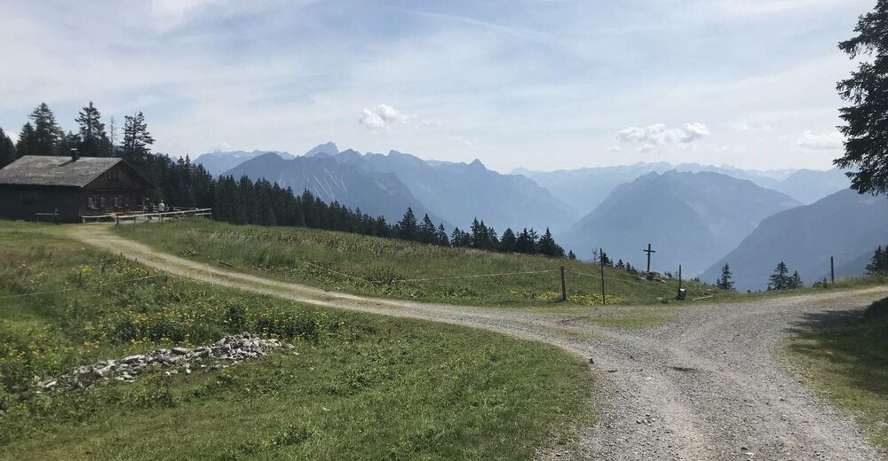
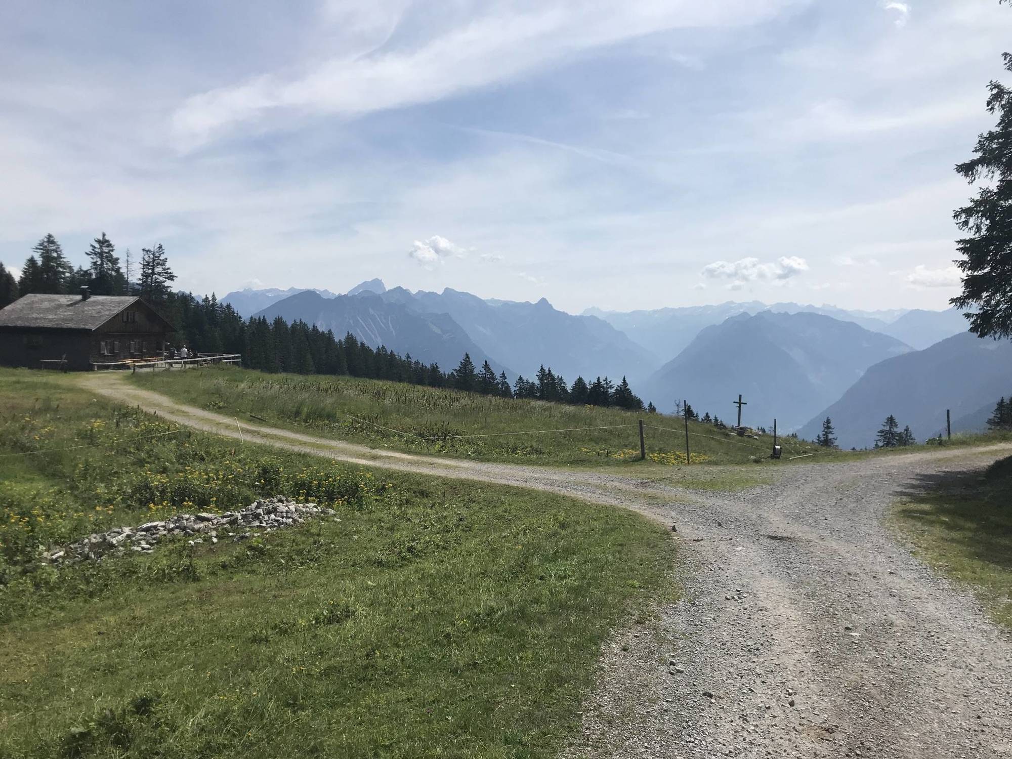
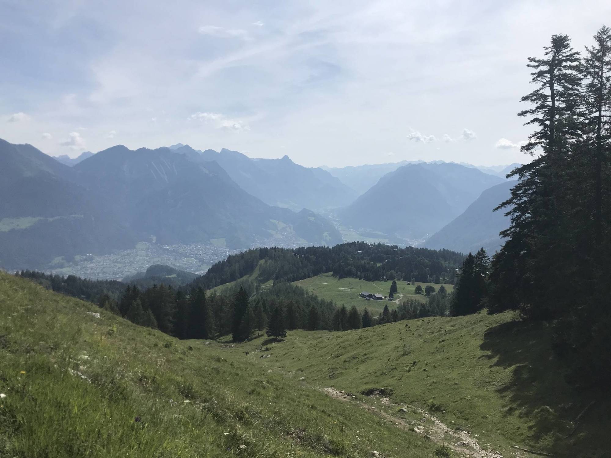
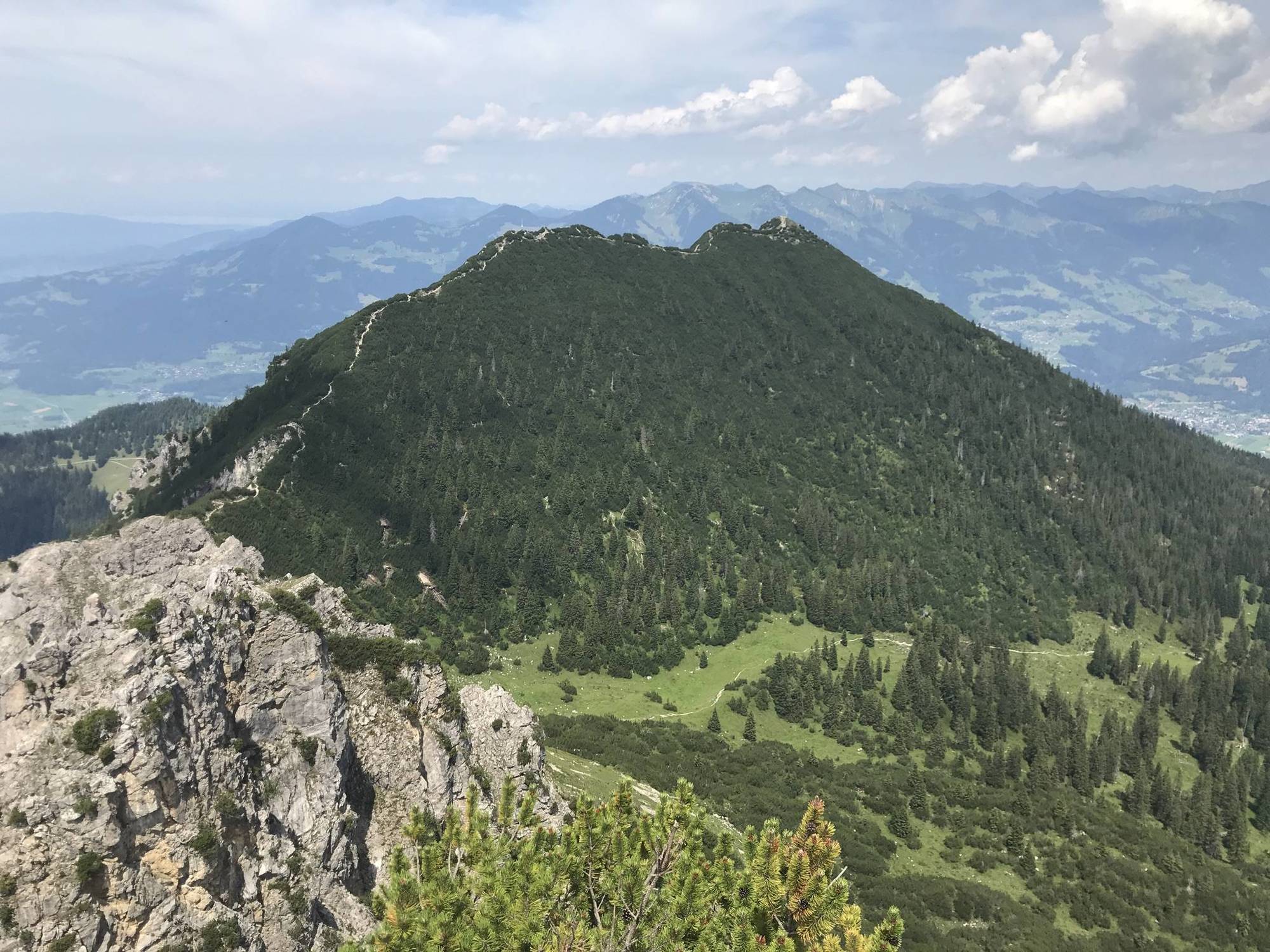
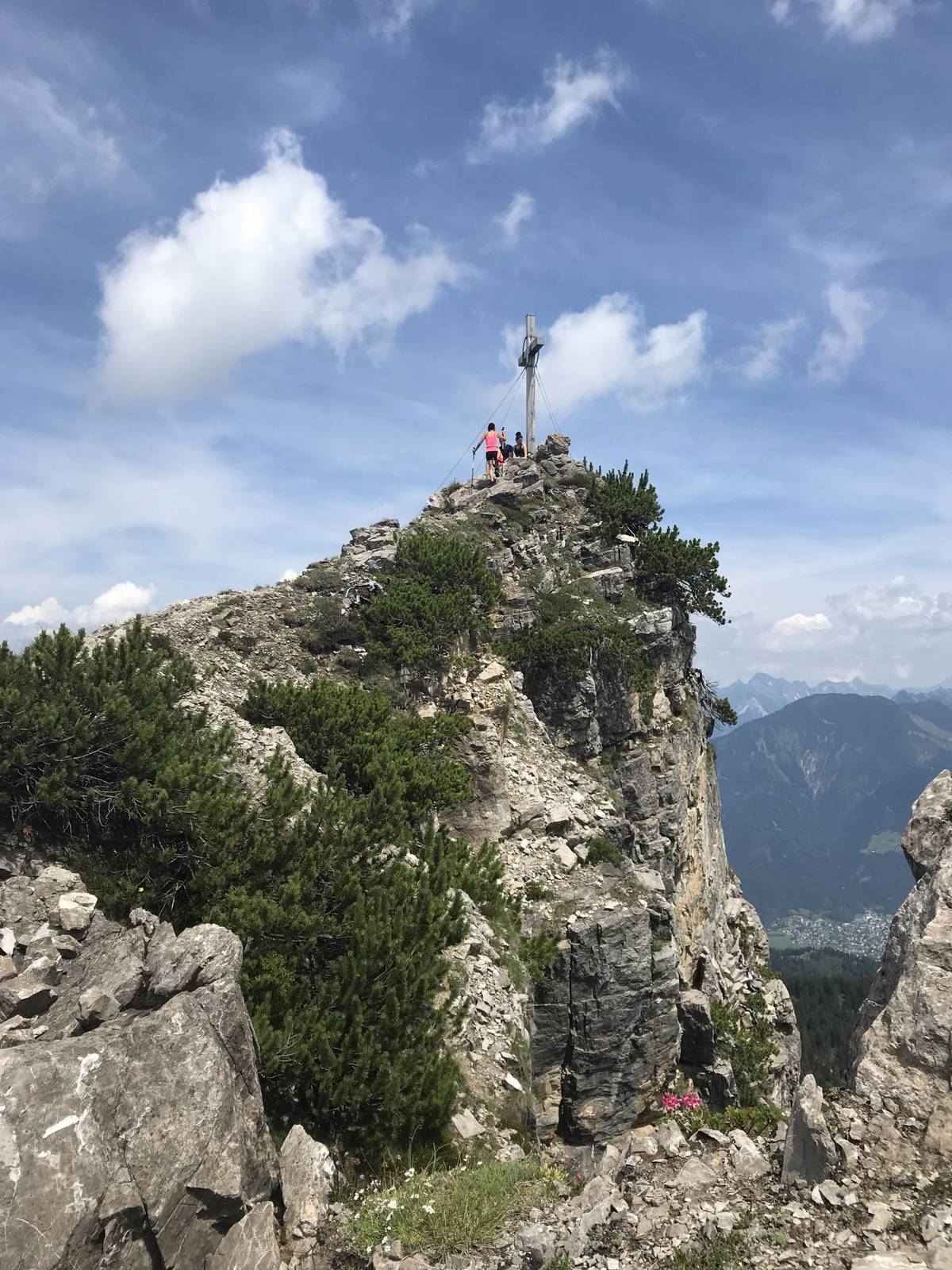
Tschengla0,3 kmBerggasthaus Zimba0,3 kmRonaalpe1,3 kmAussichtspunkt Glinzgieck2,2 kmFurklaalpe3,3 kmMondspitze5,0 kmSchillerkopf (2.006 m)6,8 kmFurklaalpe10,9 kmAussichtspunkt Glinzgieck11,8 kmRonaalpe12,9 kmTschengla14,0 km
- La stagione migliore
-
genfebmaraprmaggiulugagosetottnovdic
- Punto più alto
- Schillerkopf (1.974 m)
GPS Downloads


Altri tour nelle regioni
-
St. Gallen - Bodensee
2066
-
Brandnertal
1568
-
Bürserberg
483


