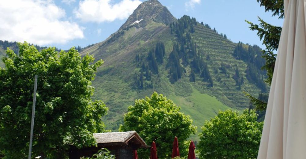
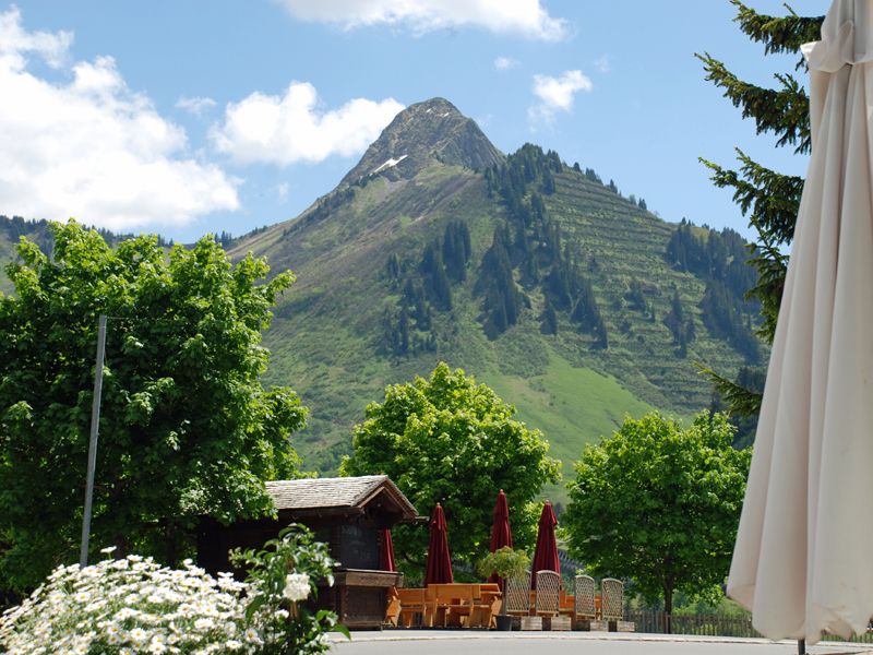
Faschina | Rund um's Zafernhorn

Logo Faschina | Rund um's Zafernhorn
Dati percorsi
10,09km
1.443 - 2.065m
Distanz
634hm
633hm
L'ascesa
04:15h
 
Durata
Descrizione rapida

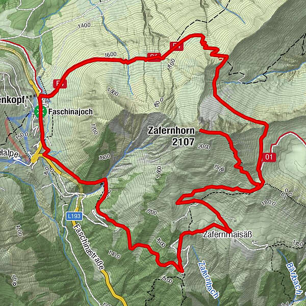
Faschinajoch -  Bartolomäus Alpe - Hubertuskapelle (1.900 m) - Zafernhorn (2.107 m) - Hubertuskapelle - Zafernmaisäß - Faschinajoch

Difficoltà
intermedio
Valutazione
Tecnica
Forma fisica
Panorama
Avventura / Esperienza
Percorso
Faschina
Hubertuskapelle
3,5 km
Zafernmaisäß
6,7 km
Faschina
9,9 km

La stagione migliore
gen
feb
mar
apr
mag
giu
lug
ago
set
ott
nov
dic
Punto più alto
2.065 m
Destinazione

Parkplatz Faschinajoch

Profilo altimetrico

Autore
Il tour Faschina | Rund um's Zafernhorn è utilizzato da outdooractive.com fornito.

4,1
Valutazione complessiva

5

55

%

4

18

%

3

18

%

2

0

%

1

9

%

GPS Downloads
  • GPX GPS Exchange Format (XML)
  • KML Google Earth, Google Maps
Codici di download QR per telefoni cellulari

Info generali

Punto di ristoro
Promettente

Tour popolari della zona

Damüls | Sünserspitze with Sünsersee

intermedio Escursionismo
8,12km | 405hm | 03:10h

Panorama hike Dornbirn Karren

intermedio Escursionismo
3,43km | 472hm | 01:20h

Damüls | Auf das Portlahorn

intermedio Escursionismo
9,62km | 533hm | 04:05h

Hiking around the lake Spullersee

facile Escursionismo
5,58km | 183hm | 01:56h