
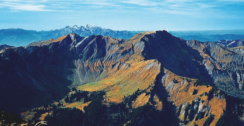

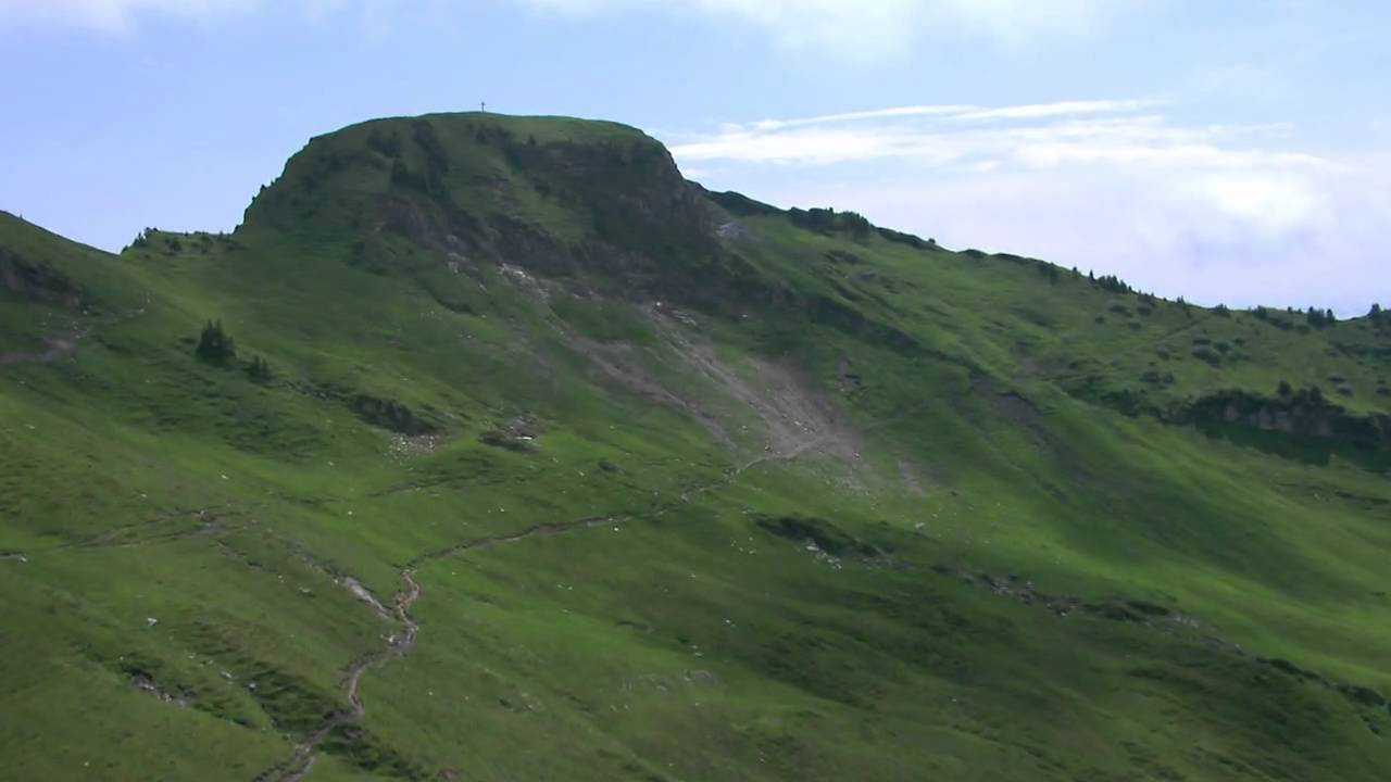
© Vorarlberg von Oben
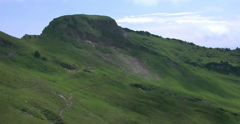
© Vorarlberg von Oben
© Bodensee-Vorarlberg Tourismus GmbH - Vorarlberg Tourismus

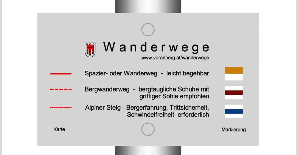
- Difficoltà
-
difficile
- Valutazione
-
- Percorso
-
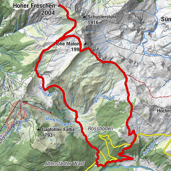
Bad Laterns (1.147 m)Untere Saluveralpe (1.564 m)3,7 kmObere Saluveralpe (1.795 m)5,1 kmFreschenhaus5,5 kmFreschenboden6,2 kmHoher Freschen (2.004 m)6,9 kmFreschenkapelle8,7 kmGroße Freschenhöhle8,8 kmMatonajöchle9,7 kmGäviserhöhe11,5 kmGävisalpe (1.750 m)11,8 kmBad Laterns (1.147 m)16,5 km
- La stagione migliore
-
genfebmaraprmaggiulugagosetottnovdic
- Punto più alto
- 1.975 m
- Destinazione
-
Bad Laterns
- Profilo altimetrico
-


- Autore
-
Il tour Hoher Freschen - Matona - Rundtour è utilizzato da outdooractive.com fornito.
GPS Downloads


Info generali
Punto di ristoro
Flora
Promettente
Altri tour nelle regioni
-
St. Gallen - Bodensee
2070
-
Alpenregion Vorarlberg
1773
-
Laterns-Gapfohl
442


