

© Alpenregion Bludenz Tourismus GmbH - Melanie Fleisch

© Alpenregion Bludenz Tourismus GmbH - Melanie Fleisch

© Alpenregion Bludenz Tourismus GmbH - Melanie Fleisch

© Vorarlberg Tourismus GmbH
- Descrizione rapida
-
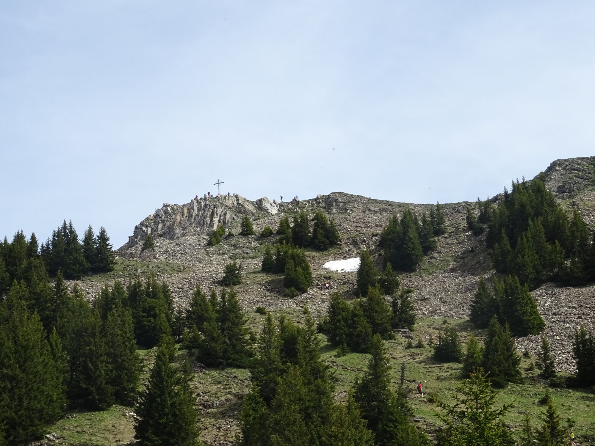
The Hochgerach is the second highest mountain of the Walserkamm and a worthwhile peak.
- Difficoltà
-
difficile
- Valutazione
-
- Percorso
-
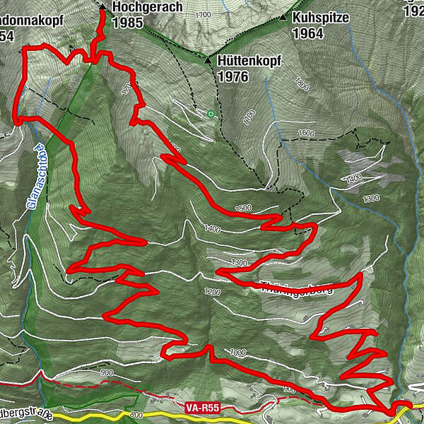
ThüringerbergAußerberg (882 m)0,2 kmKapiescha (1.161 m)2,4 kmUnteralpila (1.247 m)3,4 kmFäschaalpe3,7 kmOberalpila Altatofel (1.600 m)5,8 kmHochgerach (1.985 m)7,6 kmGoppeskopf (1.845 m)7,9 kmHerrenwald (1.235 m)11,9 kmGlantsch (1.100 m)12,7 kmAußerberg (882 m)15,1 kmThüringerberg15,3 km
- La stagione migliore
-
genfebmaraprmaggiulugagosetottnovdic
- Punto più alto
- 1.946 m
- Destinazione
-
Village center, Thüringerberg
- Profilo altimetrico
-


- Autore
-
Il tour Hochgerach, 1.985 m | Thüringerberg è utilizzato da outdooractive.com fornito.
GPS Downloads


Info generali
Promettente
Altri tour nelle regioni
-
St. Gallen - Bodensee
2065
-
Alpenregion Vorarlberg
1771
-
Thüringerberg
422


