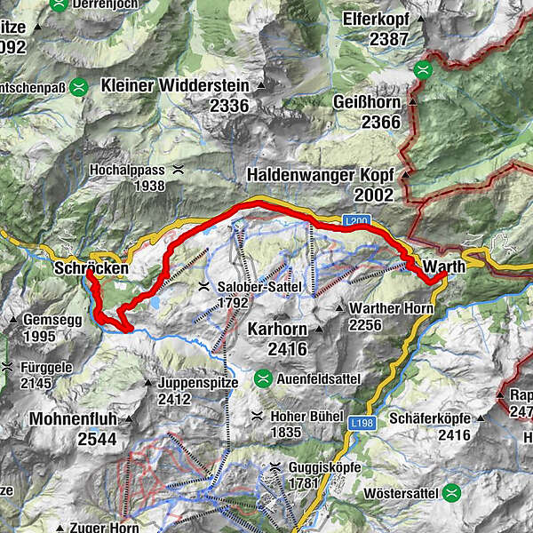
From Warth over the Hochtannbergpass and Körbersee to Schröcken

Escursionismo

© Warth-Schröcken Tourismus - Sebastian Stiphout

© Warth-Schröcken Tourismus - Ratko Fotografie und mehr

© Warth-Schröcken Tourismus - Medialounge

© Warth-Schröcken Tourismus - Ratko Fotografie und mehr

- Descrizione rapida
-
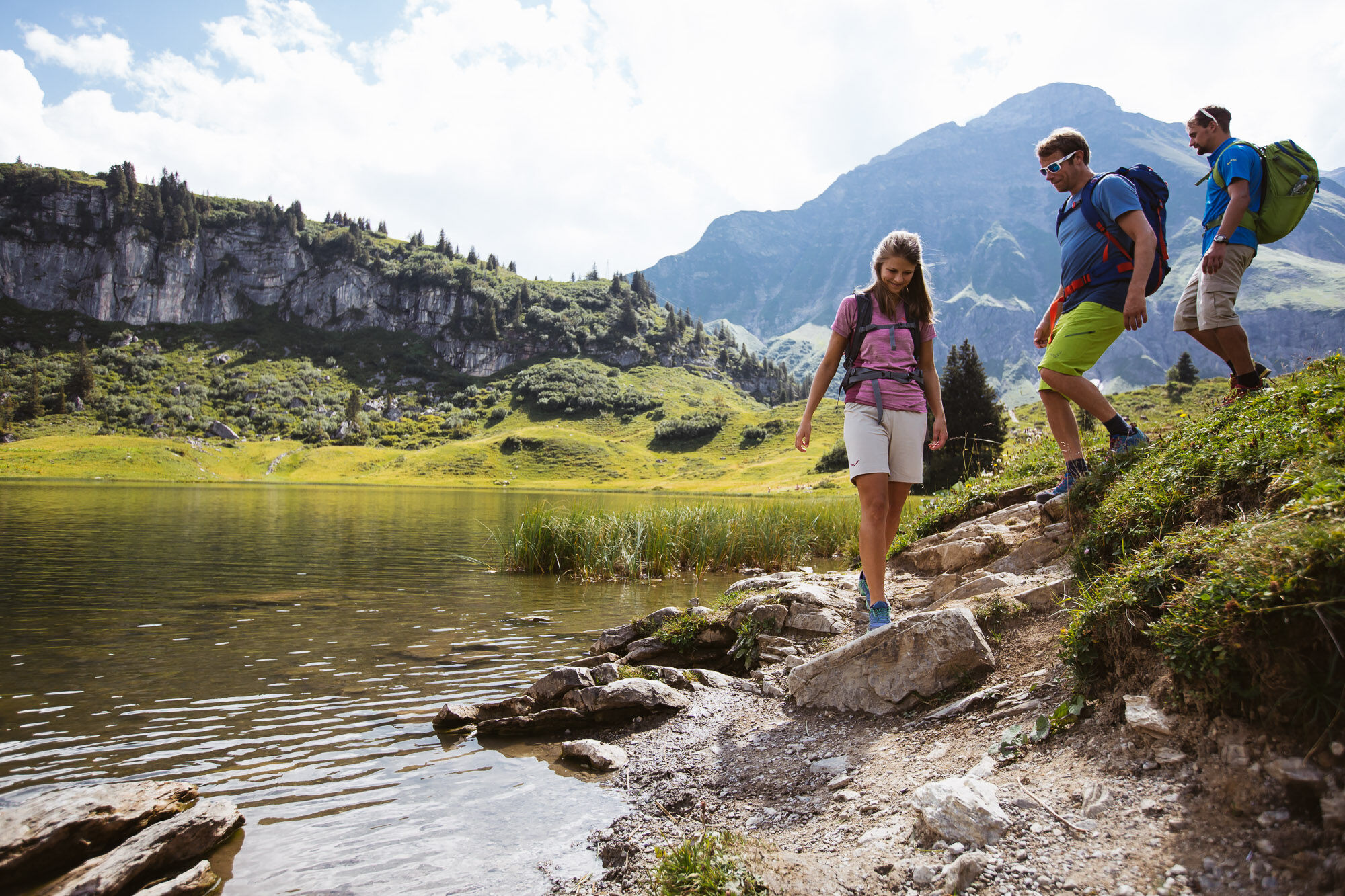
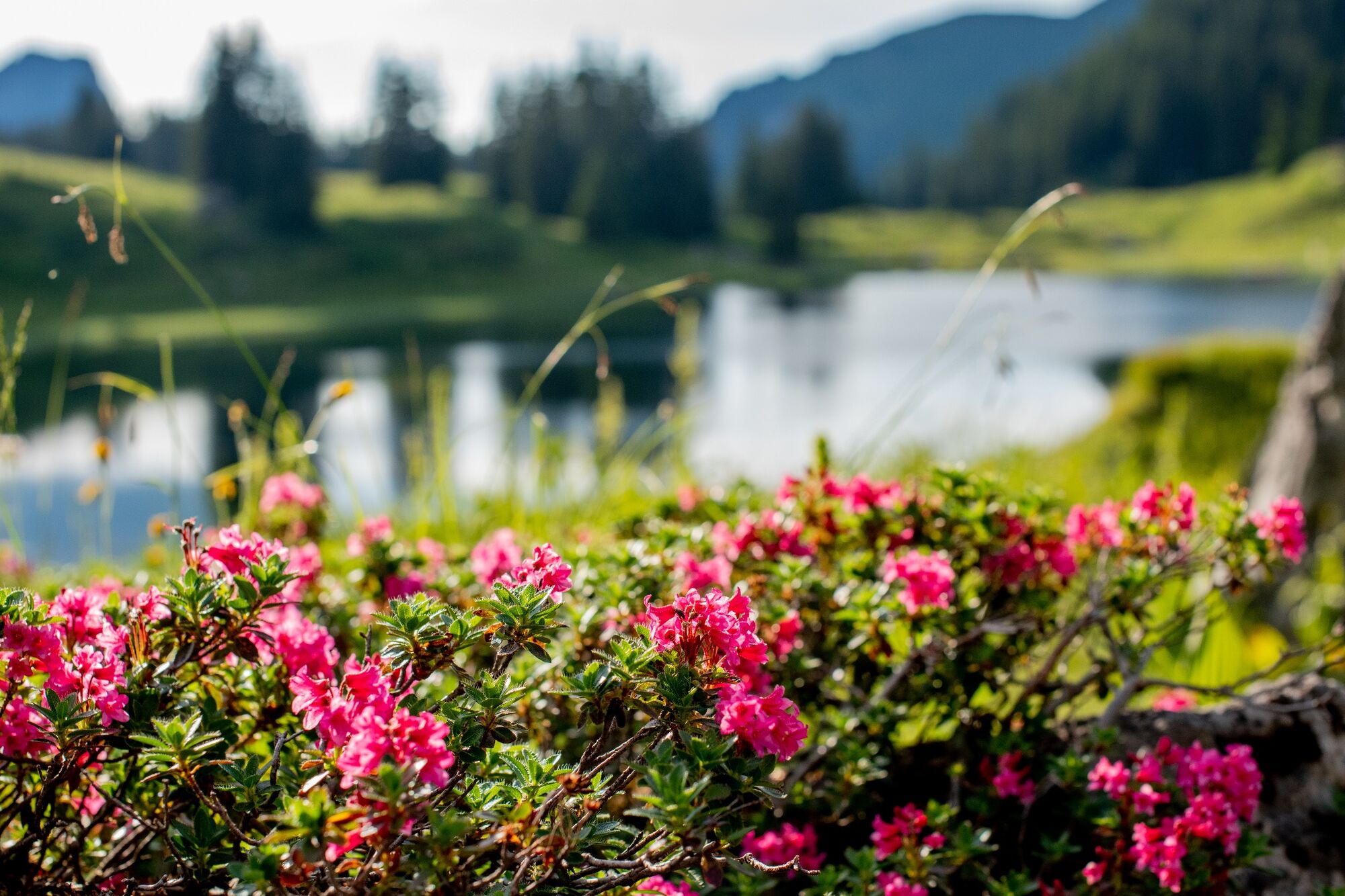
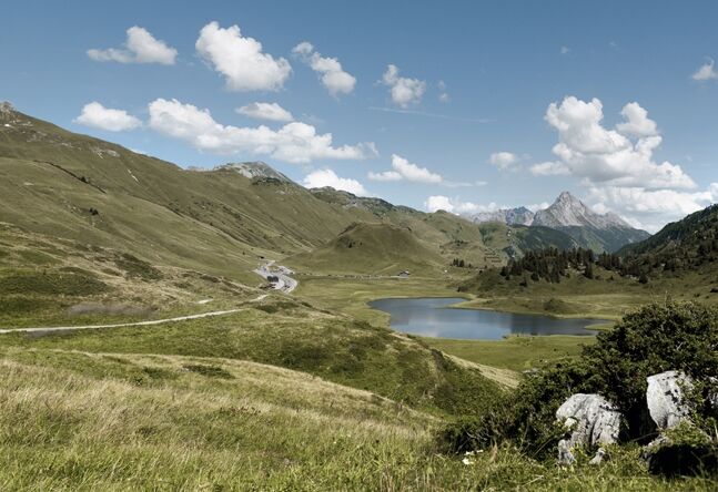
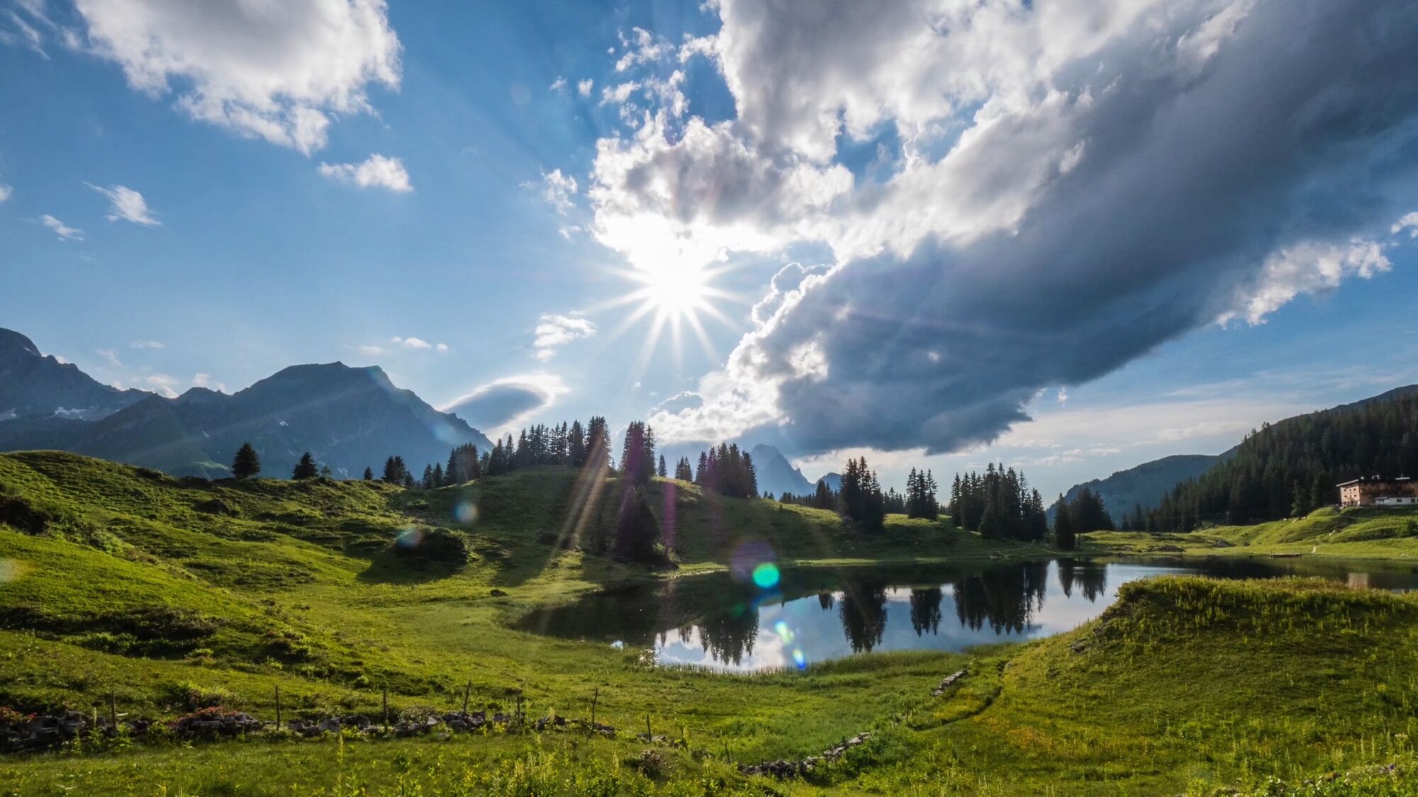
A scenically beautiful hike between the Walser villages of Warth and Schröcken, past traditional Walser houses, picturesque mountain lakes and culturally interesting locations! Starting at the hiking start point, follow the path in the direction of the Steffisalp-Express to the plot Wolfegg. The Alte Salzstraße continues past the Hotel Jägeralpe in the direction of the Hochtannbergpass. Here the path leads you past the Kalbelesee lake to the picturesque Körbersee. The mountain hotel invites you to take a breather before the path leads you past the Alpmuseum Uf'm Tannberg to the village of Schröcken.
- Difficoltà
-
intermedio
- Valutazione
-
- Percorso
-
Warth (1.495 m)Huber Alpe0,5 kmWolfegg1,4 kmHolzbodenalpe2,9 kmSennkuchl3,5 kmJägeralpe3,5 kmHochkrumbach3,8 kmSchröcken (1.269 m)11,3 kmTannberg11,3 km
- La stagione migliore
-
genfebmaraprmaggiulugagosetottnovdic
- Punto più alto
- 1.740 m
- Destinazione
-
Schröcken village square
- Profilo altimetrico
-

- Autore
-
Il tour From Warth over the Hochtannbergpass and Körbersee to Schröcken è utilizzato da outdooractive.com fornito.
GPS Downloads


Info generali
Punto di ristoro
Culturale/Storico
Suggerimento
Altri tour nelle regioni


