


Dati percorsi
11,84km
1.496
- 2.174m
730hm
804hm
05:30h
- Descrizione rapida
-
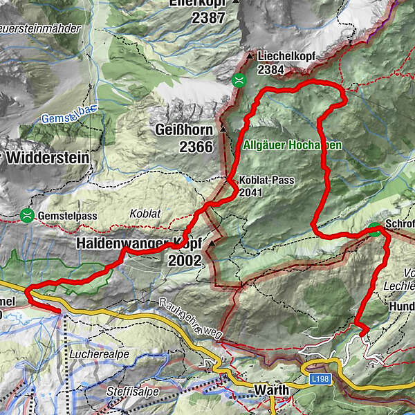
Schöne Höhentour in die Allgäuer Berge mit dem highligt Schrofenpass
- Percorso
-
JägeralpeHochkrumbach0,2 kmKoblat-Pass (2.041 m)4,2 kmMindelheimer Hütte6,7 km
- La stagione migliore
-
genfebmaraprmaggiulugagosetottnovdic
- Punto più alto
- 2.174 m
- Destinazione
-
Lechleiten
- Profilo altimetrico
-


- Autore
-
Il tour Mindelheimerhütte - Schrofenpass è utilizzato da outdooractive.com fornito.
GPS Downloads


Info generali
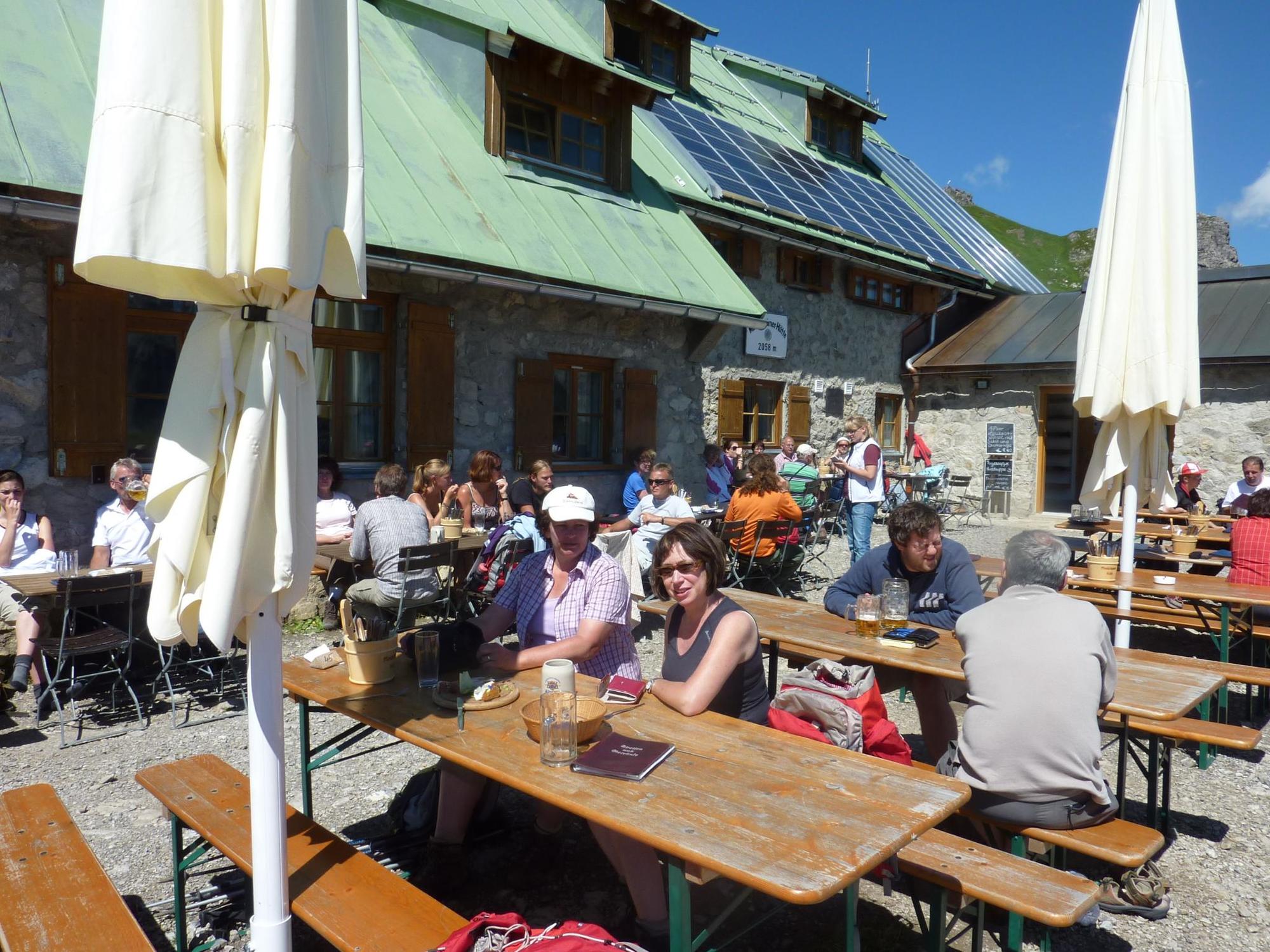
Punto di ristoro
Fauna
Promettente
Altri tour nelle regioni
-
Kleinwalsertal
2055
-
Mittelberg
601


