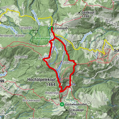
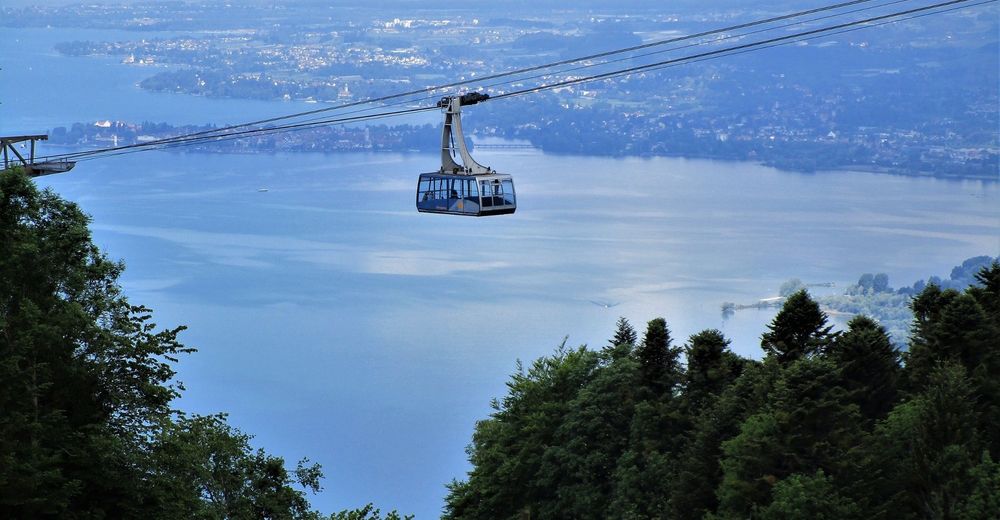
Sportliche Talwanderung: Pfänderbahn - über Gschliefweg - Bregenz

Escursionismo

© Bodensee-Vorarlberg Tourismus GmbH - Erich Zucchali / www.guideservice.at
© Erich Zucalli / www.guideservice.at - Erich Zucalli
© Erich Zucalli / www.guideservice.at - Erich Zucalli
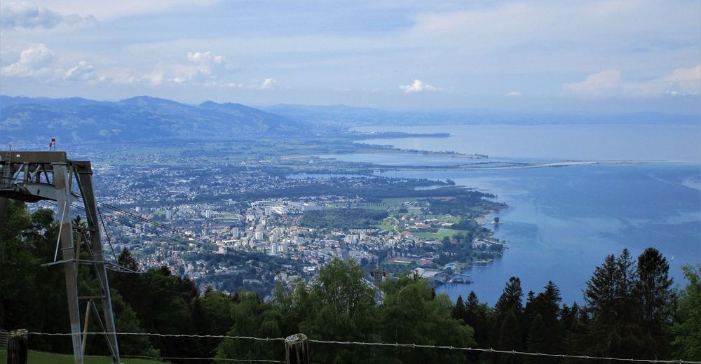
© Erich Zucalli / www.guideservice.at - Erich Zucalli
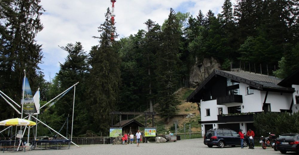
© Erich Zucalli / www.guideservice.at - Erich Zucalli
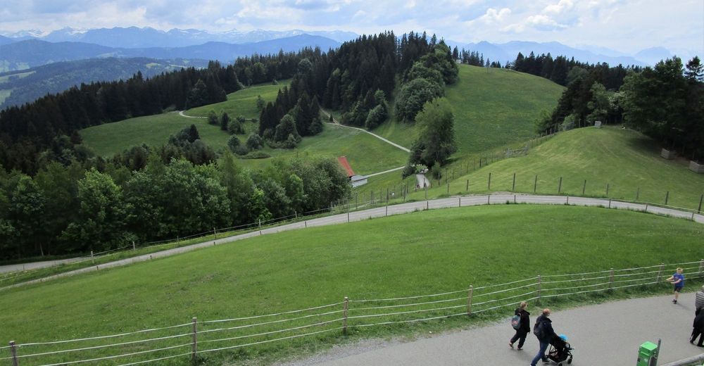
© Erich Zucalli / www.guideservice.at - Erich Zucalli
© Erich Zucalli / www.guideservice.at - Erich Zucalli
© Erich Zucalli / www.guideservice.at - Erich Zucalli
© Erich Zucalli / www.guideservice.at - Erich Zucalli
© Erich Zucalli / www.guideservice.at - Erich Zucalli

- Descrizione rapida
-
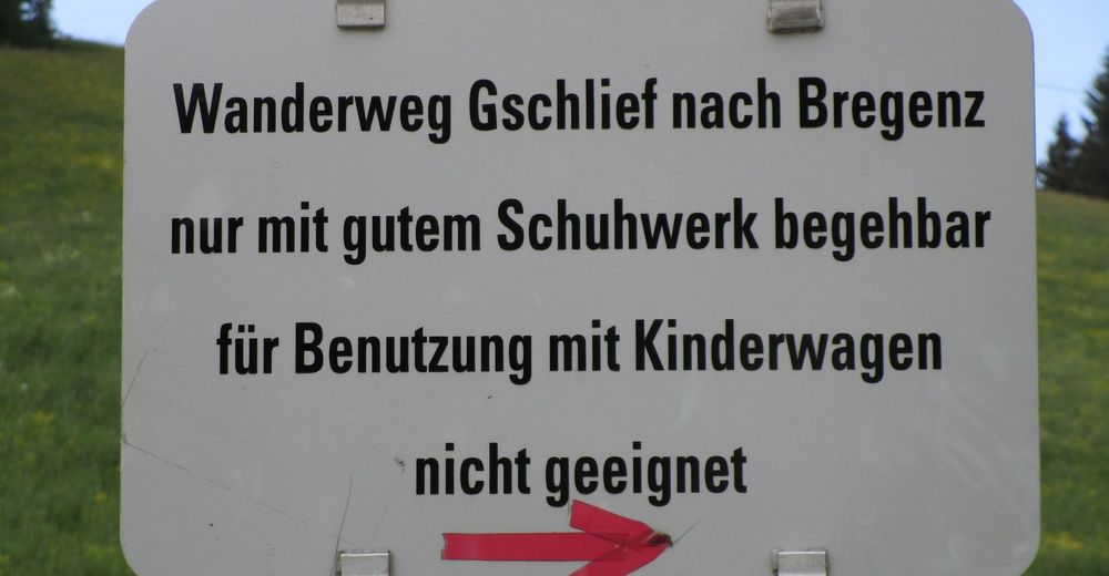
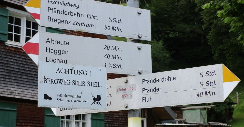
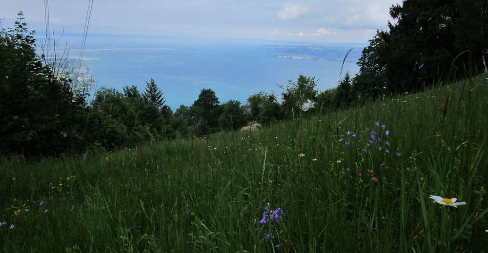
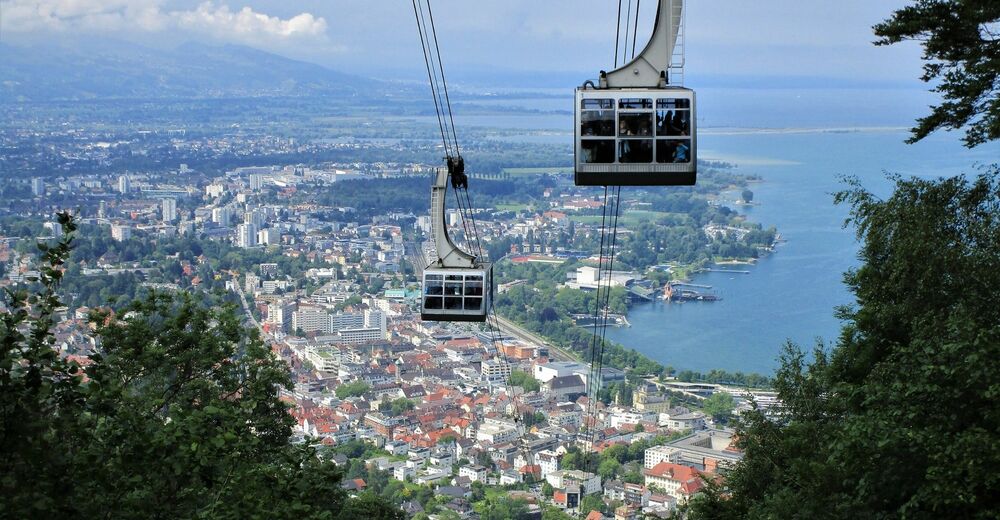
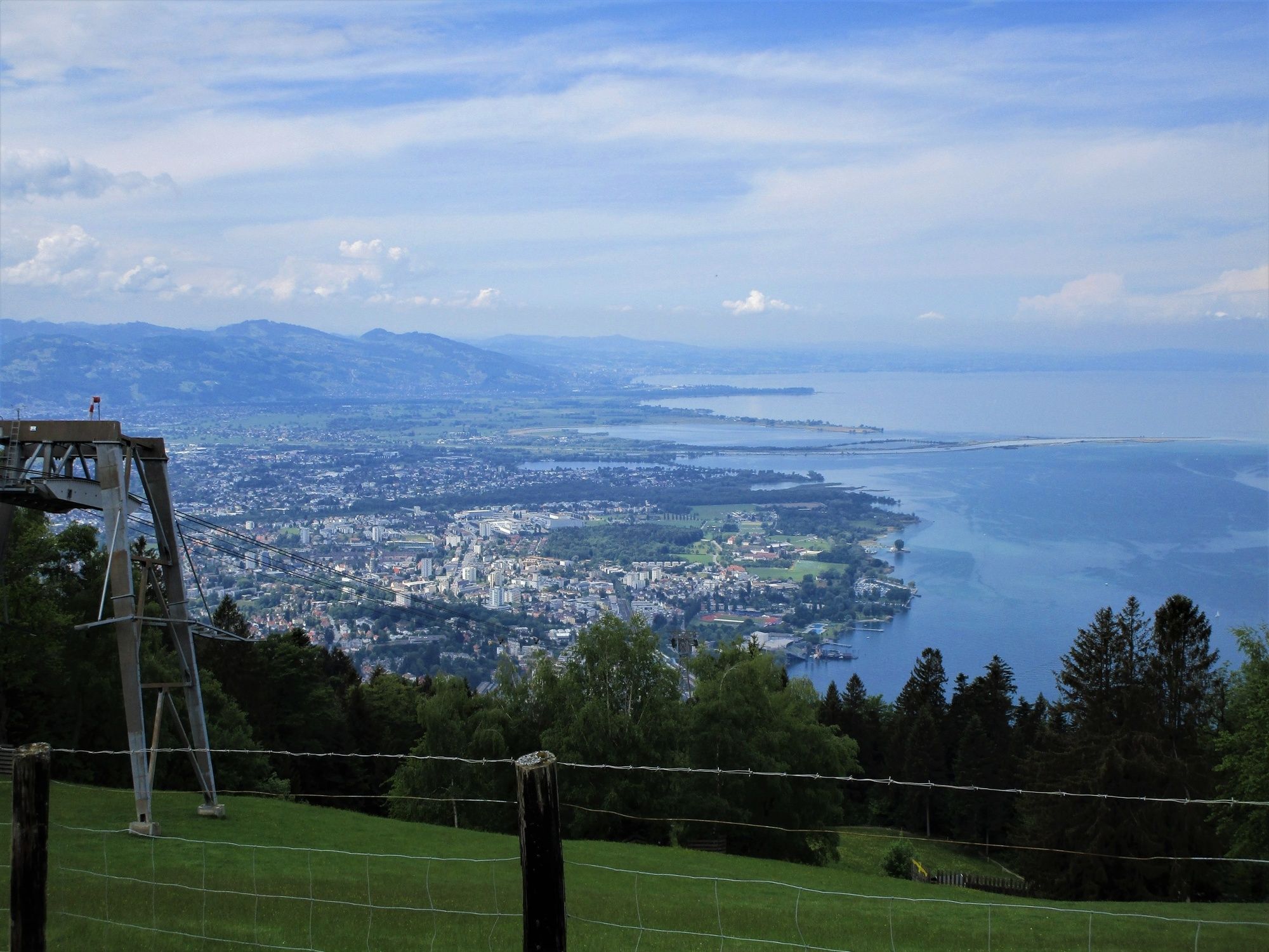
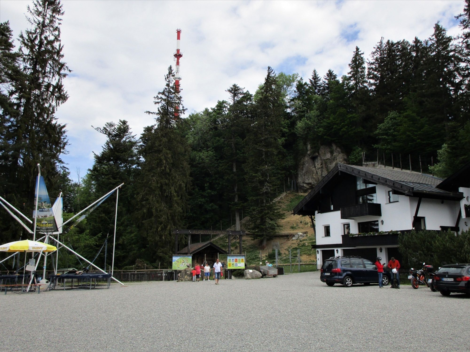
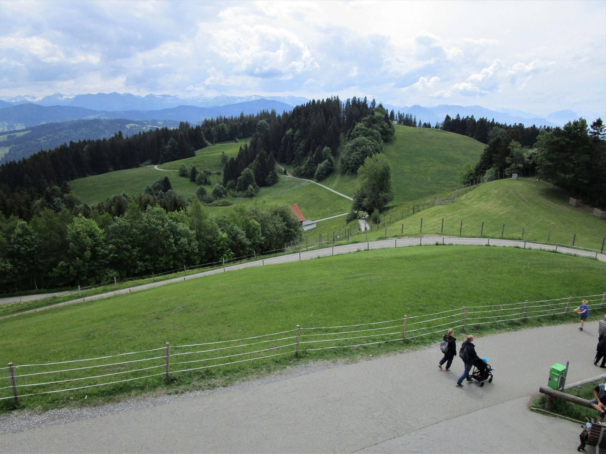
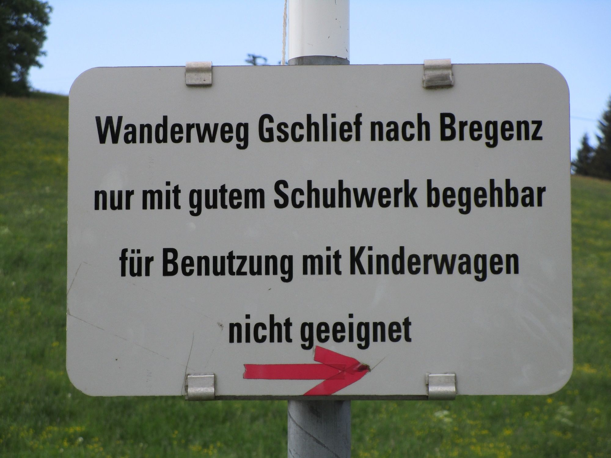
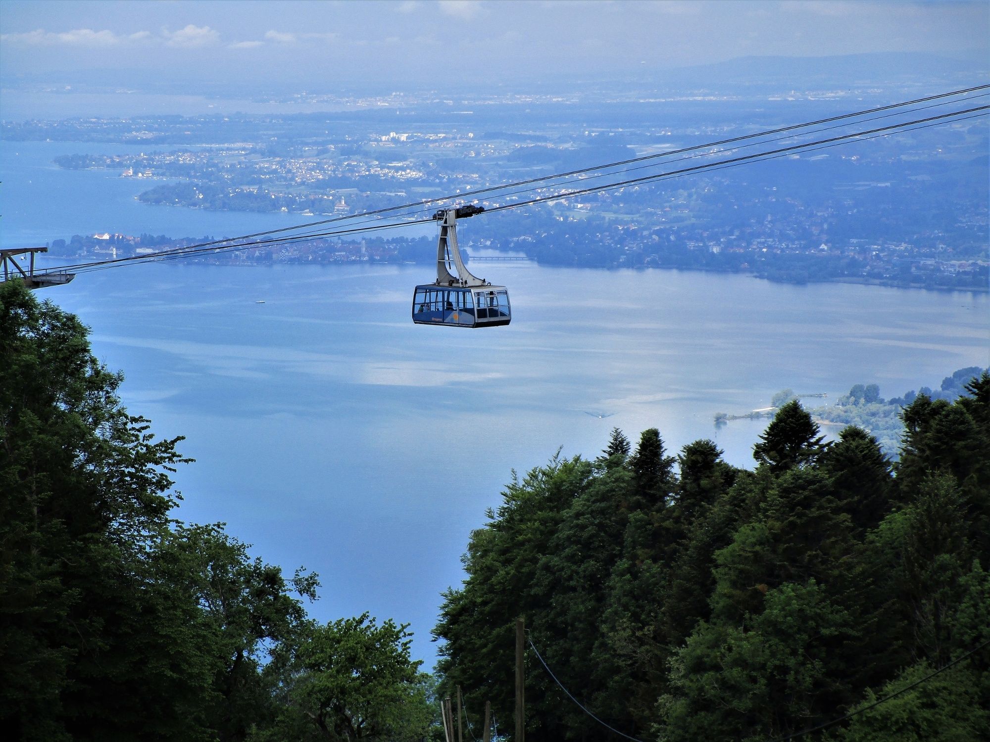
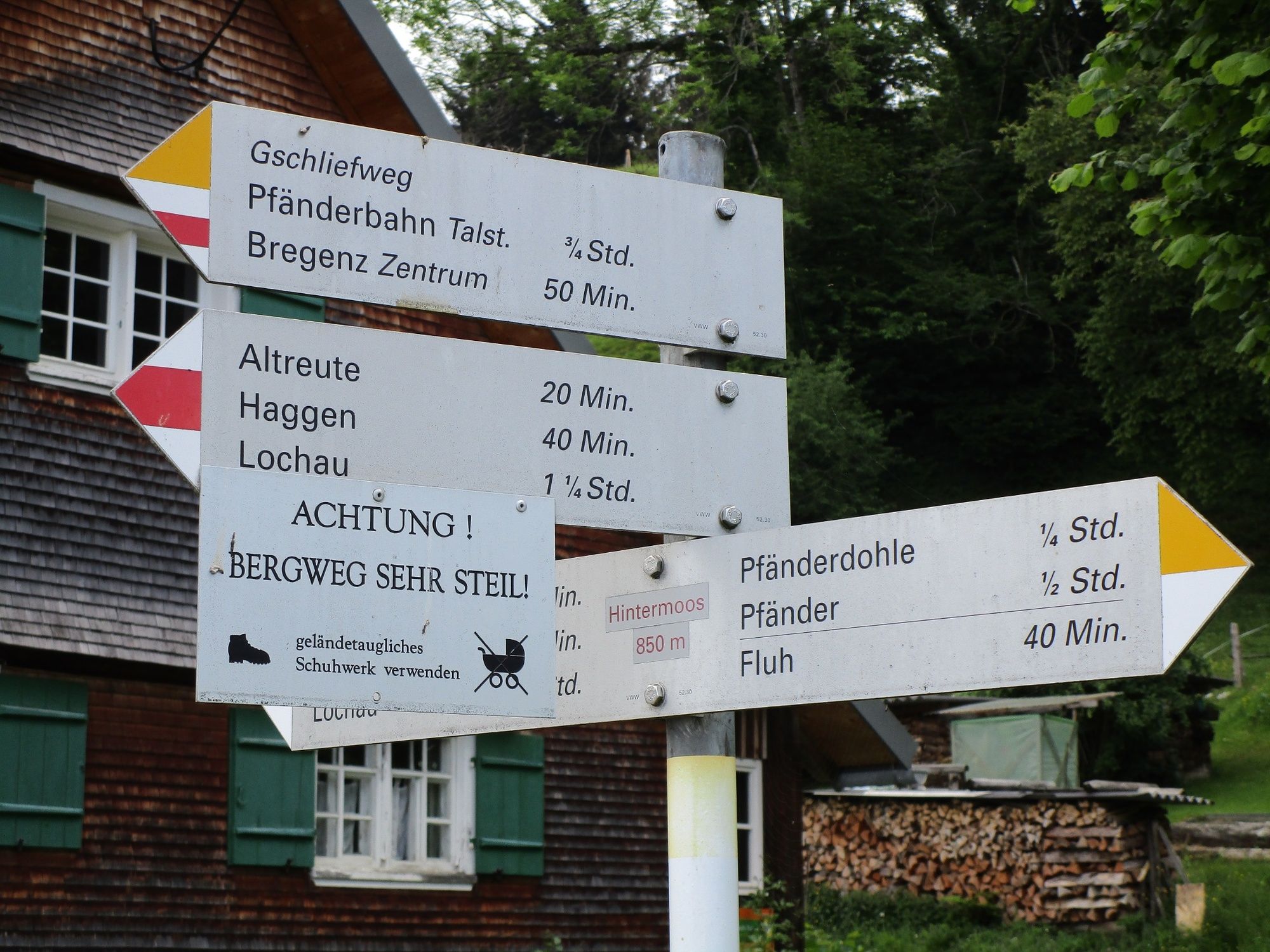
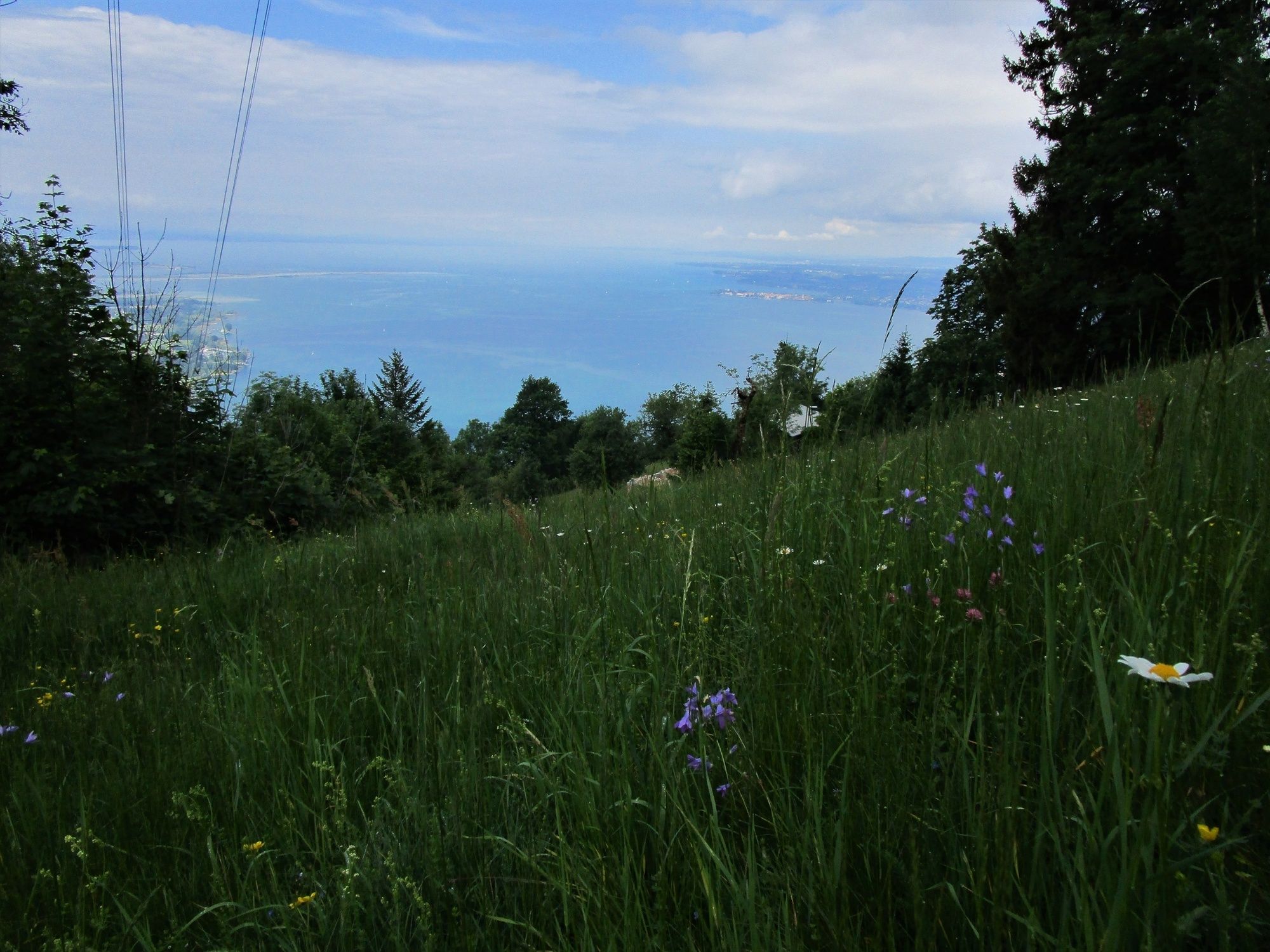
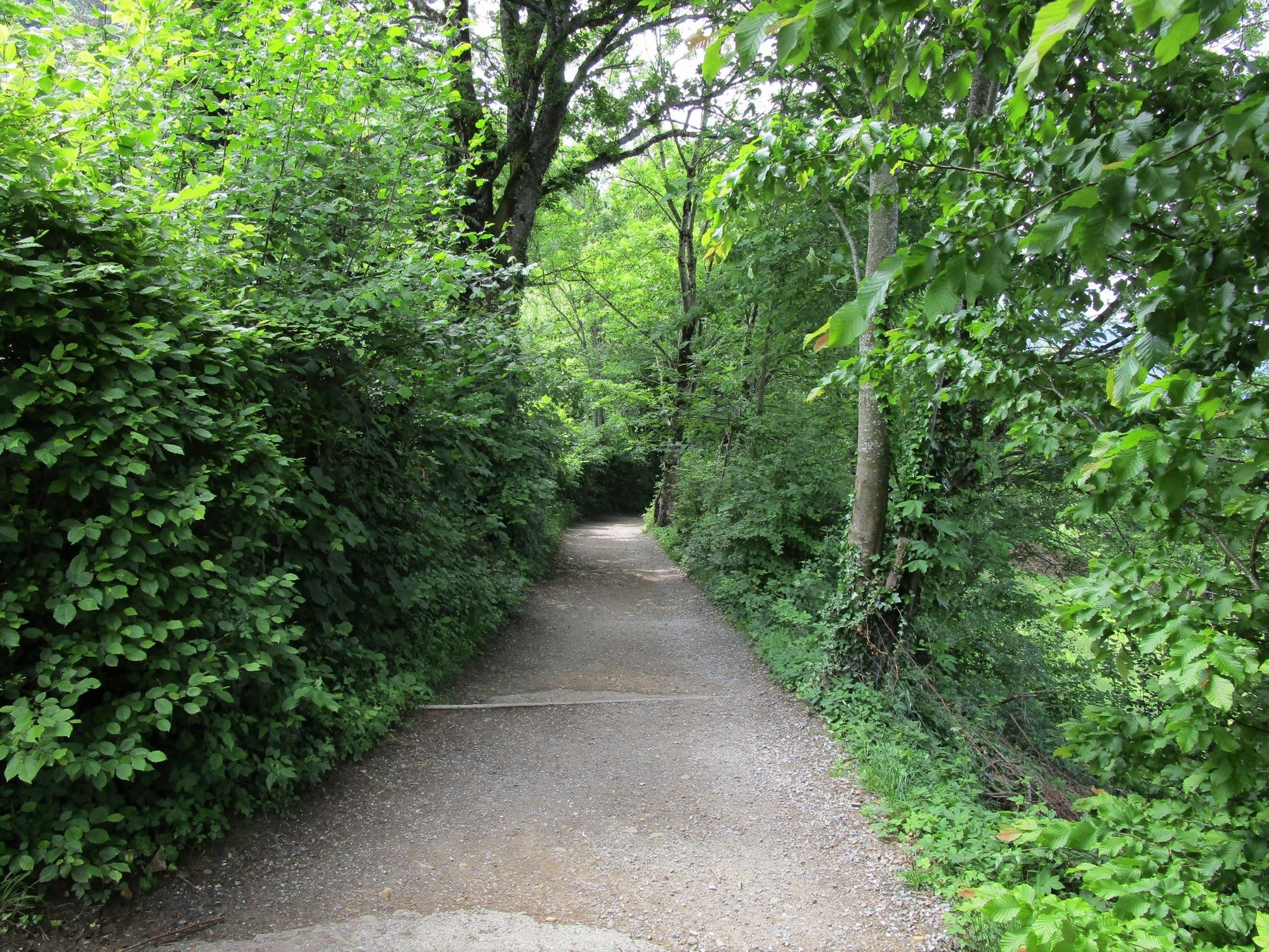
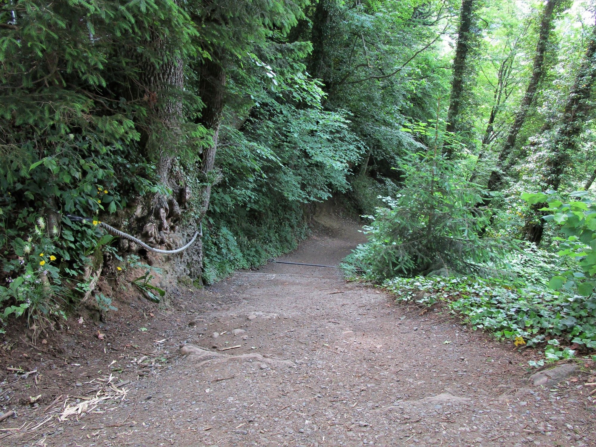
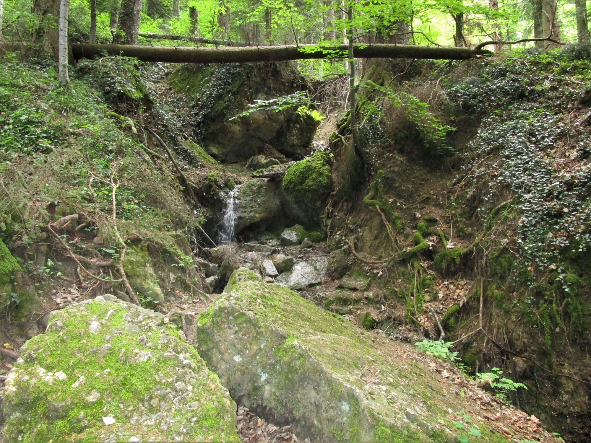
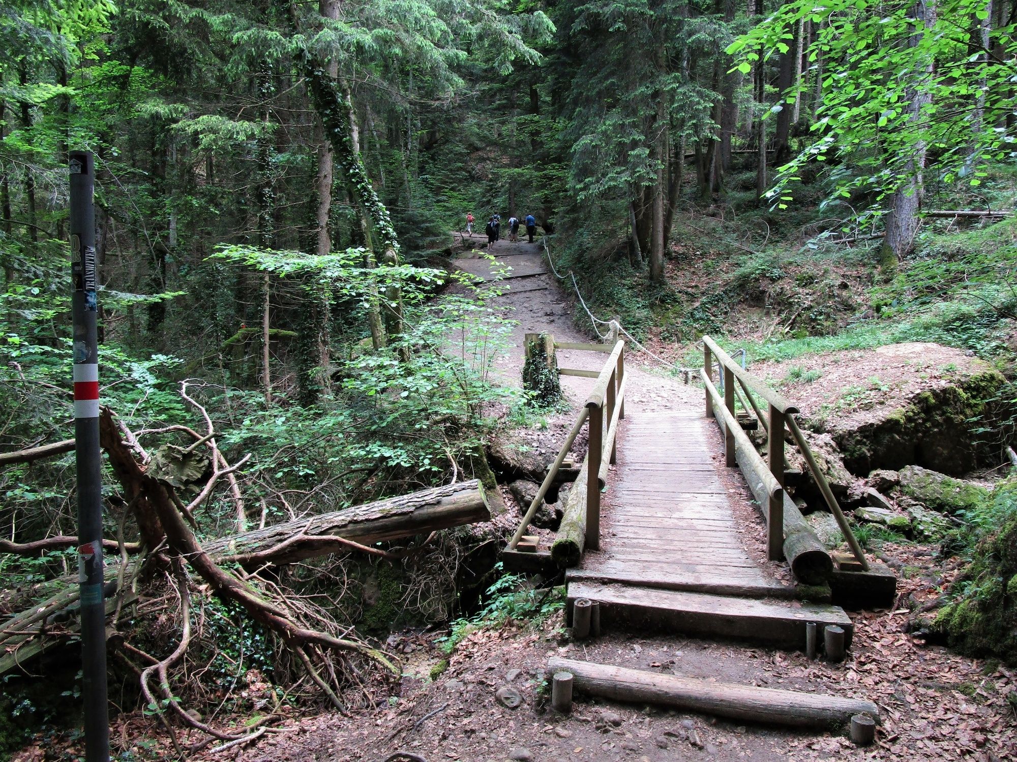
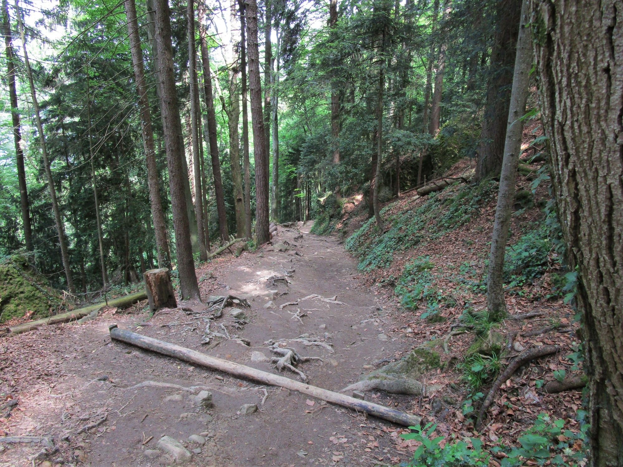
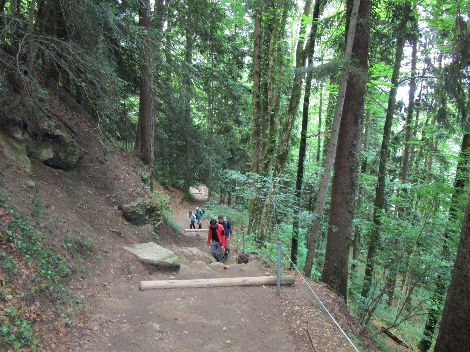
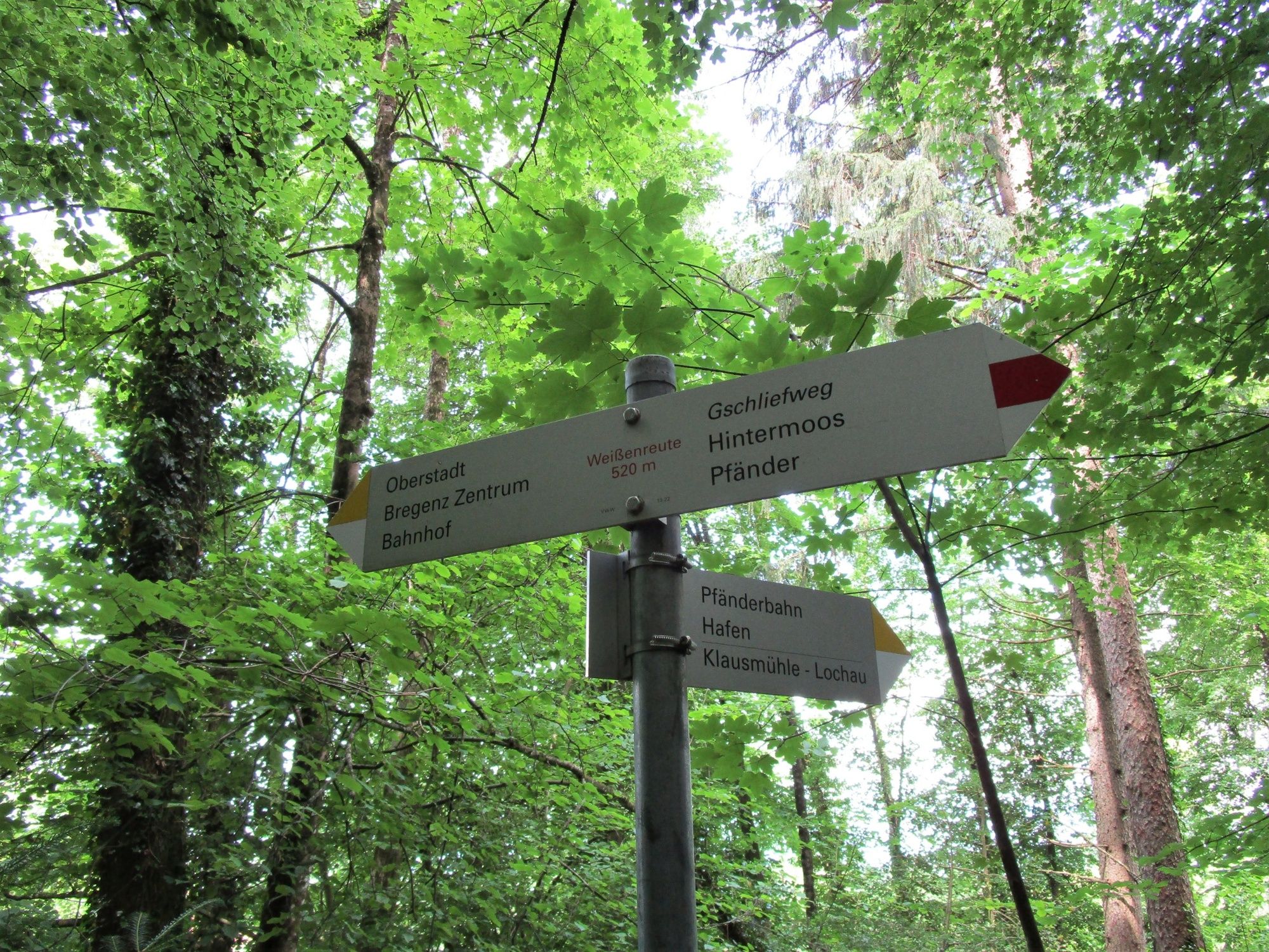
Aussichtsreiche Wanderung von der Bergstation der Pfänderbahn über den teils steilen, aber interessanten Gschliefweg zurück zur Talstation.
- Difficoltà
-
intermedio
- Valutazione
-
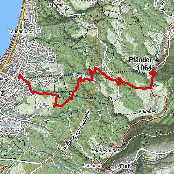
- Percorso
-
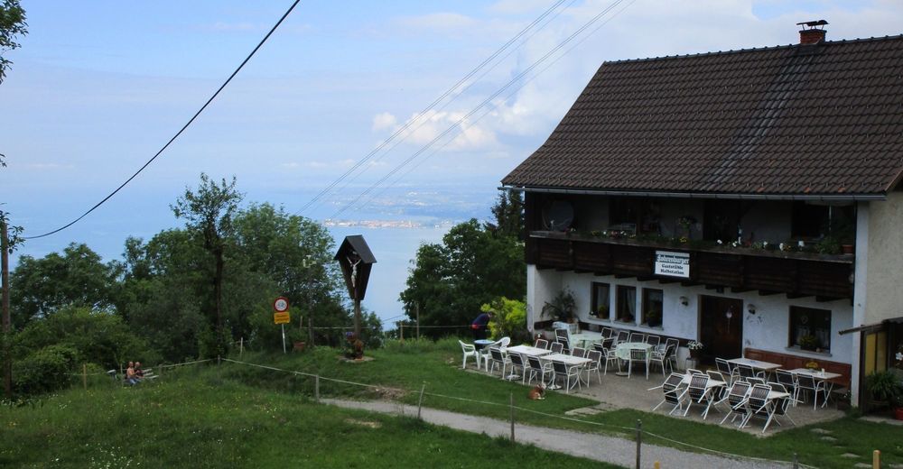
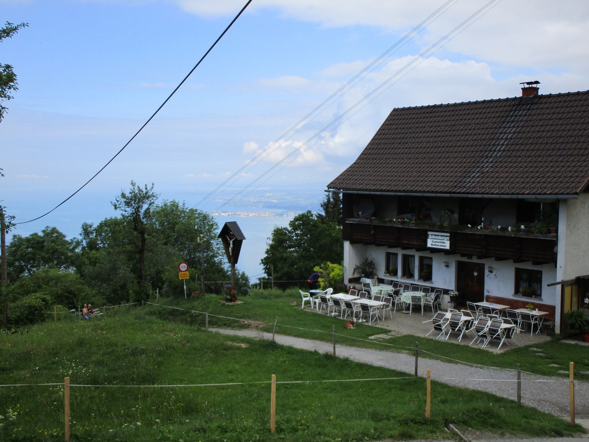
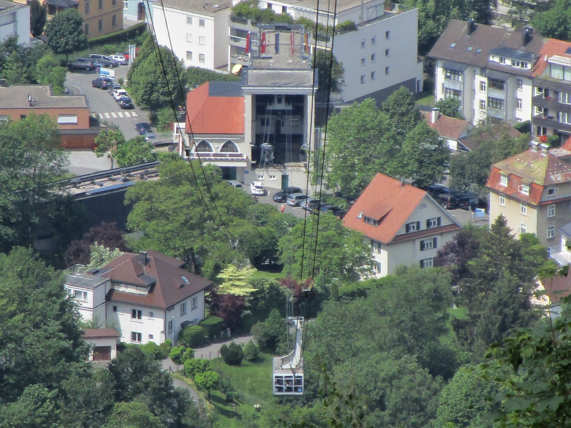
Gaststüble Halbstation1,2 kmPfänderbahn Talstation3,7 kmBregenz (427 m)3,8 km
- La stagione migliore
-
genfebmaraprmaggiulugagosetottnovdic
- Punto più alto
- 1.018 m
- Destinazione
-
Talstation Pfänderbahn
- Profilo altimetrico
-


- Autore
-
Il tour Sportliche Talwanderung: Pfänderbahn - über Gschliefweg - Bregenz è utilizzato da outdooractive.com fornito.
GPS Downloads


Info generali
Punto di ristoro
Promettente
Altri tour nelle regioni
-
St. Gallen - Bodensee
2067
-
Bodensee - Vorarlberg
1317
-
Bregenz - Pfänderbahn
342