

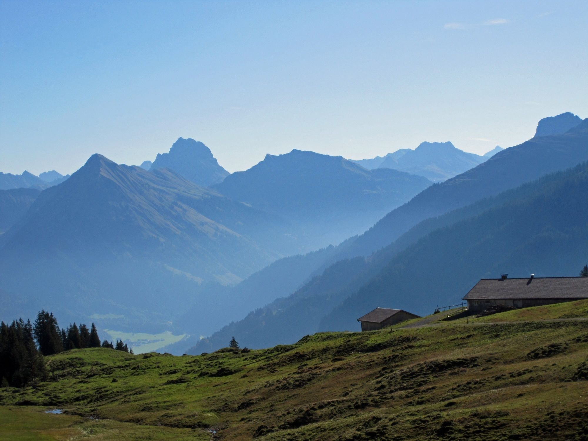
© Au-Schoppernau Tourismus - Monika Albrecht

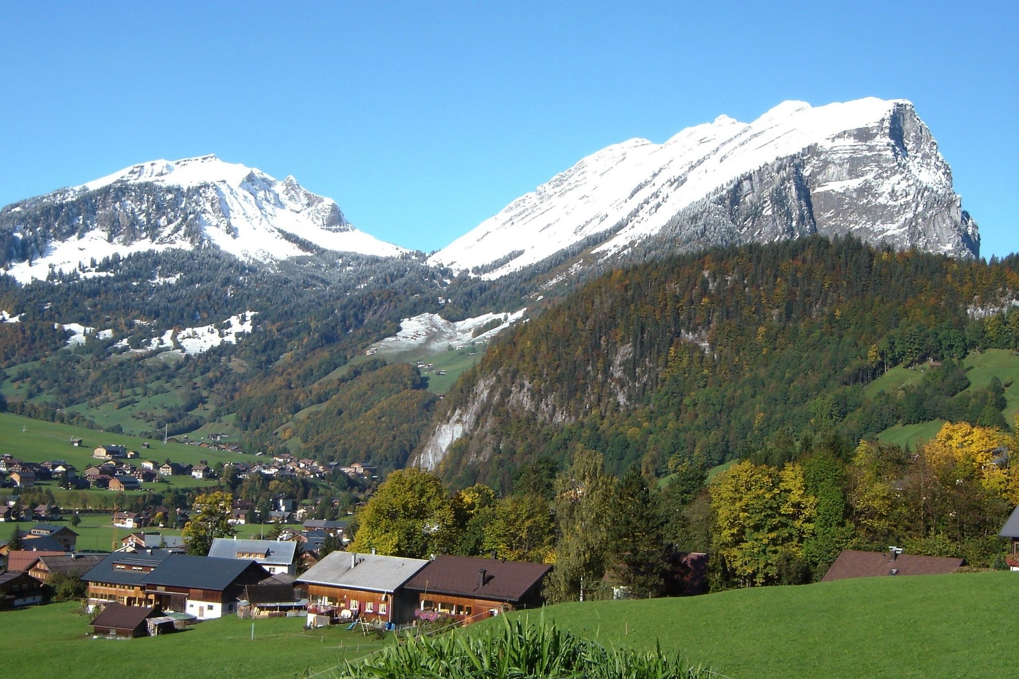
© Au-Schoppernau Tourismus - Monika Albrecht

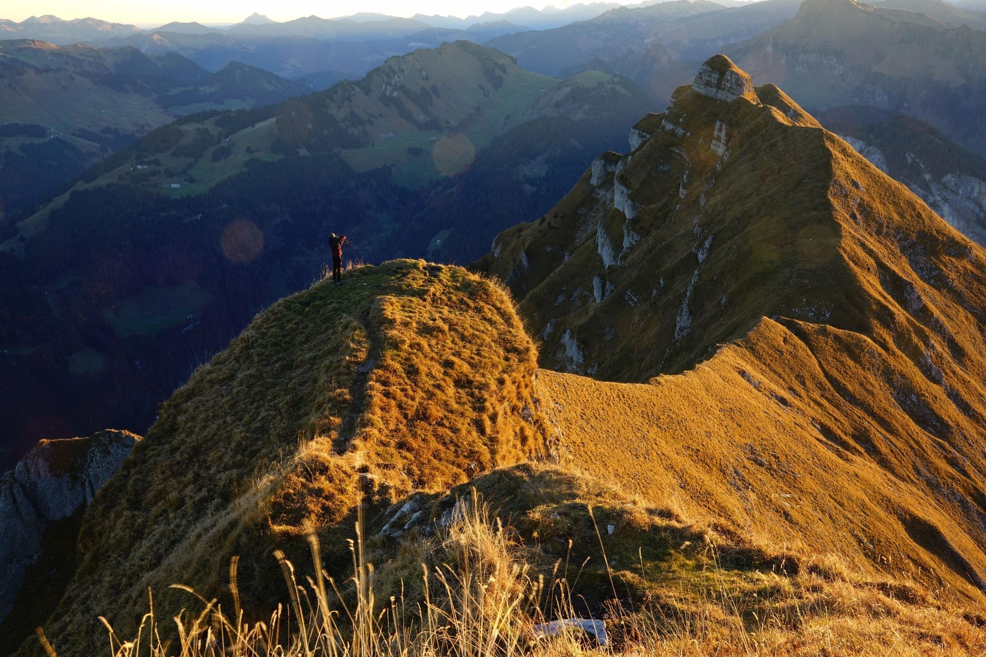
© Au-Schoppernau Tourismus - Monika Albrecht

- Descrizione rapida
-
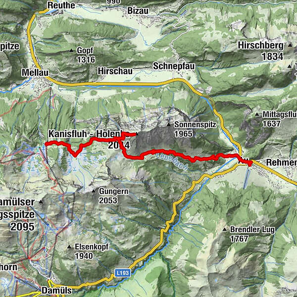
Gemeindeamt/Tourismusbüro Au - Argenstein - Ahornen Vorsäß - Feursteinalpe - Kanisfluh - Kanisalpe - Roßstelle.
Talfahrt mit der Gondelbahn nach Mellau. Mit dem Bus zurück nach Au. - Difficoltà
-
difficile
- Valutazione
-
- Percorso
-
Lisse0,3 kmAu (800 m)0,4 kmArgenstein0,8 kmAhornenvorsäß2,9 kmAlpengasthof Edelweiss5,4 kmHehlesattel (1.870 m)7,2 km
- La stagione migliore
-
genfebmaraprmaggiulugagosetottnovdic
- Punto più alto
- 1.992 m
- Destinazione
-
Gemeindeamt/Tourismusbüro Au
- Profilo altimetrico
-

-

-
AutoreIl tour Au-Schoppernau | Kanisfluh è utilizzato da outdooractive.com fornito.
GPS Downloads


Info generali
Punto di ristoro
Fauna
Promettente
Altri tour nelle regioni
-
Bregenzerwald
2297
-
Schnepfau
631


