Damüls-Faschina | Rundtour Faschina-Damüls-Faschina

Escursionismo
© Damüls - Faschina Tourismus - Matthias Greilach

- Descrizione rapida
-
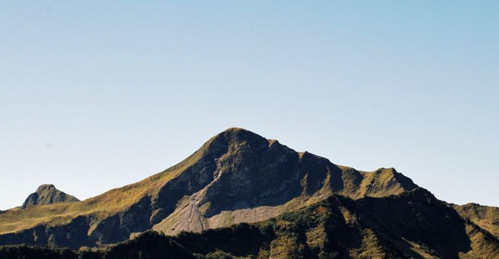
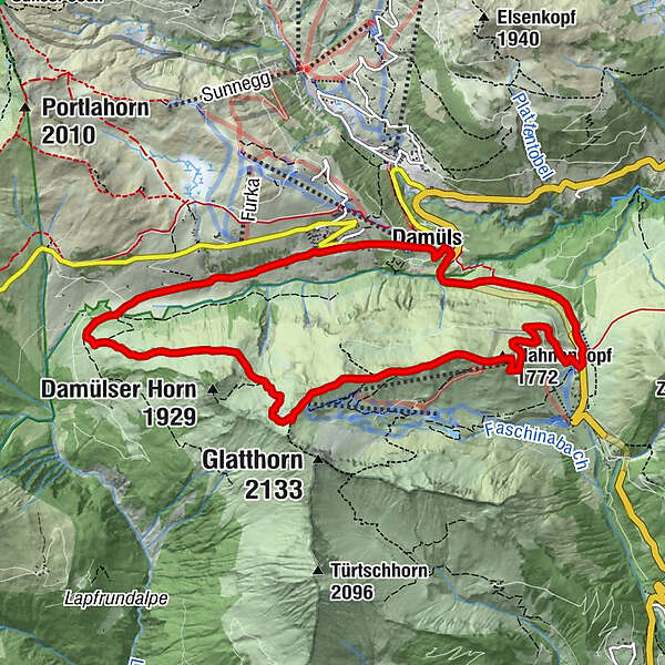
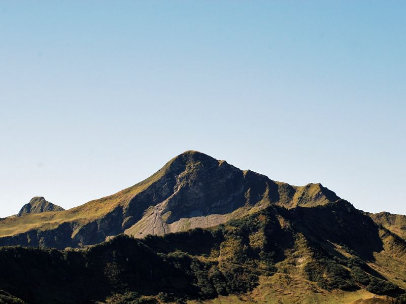
Faschinajoch - Hahnenkopf - Bergstation Glatthornbahn - Alpe Unterdamüls - Damüls Kirchdorf - Faschinajoch
- Difficoltà
-
intermedio
- Valutazione
-
- Percorso
-
Faschina0,1 kmHahnenkopf (1.772 m)1,7 kmAlpe Unterdamüls5,9 kmDamüls (1.423 m)8,9 kmFaschina11,0 km
- La stagione migliore
-
genfebmaraprmaggiulugagosetottnovdic
- Punto più alto
- 1.979 m
- Destinazione
-
Faschinajoch
- Profilo altimetrico
-

- Autore
-
Il tour Damüls-Faschina | Rundtour Faschina-Damüls-Faschina è utilizzato da outdooractive.com fornito.
GPS Downloads


Info generali
Punto di ristoro
Flora
Altri tour nelle regioni
-
St. Gallen - Bodensee
2066
-
Biosphärenpark Großes Walsertal
2008
-
Damüls
576


