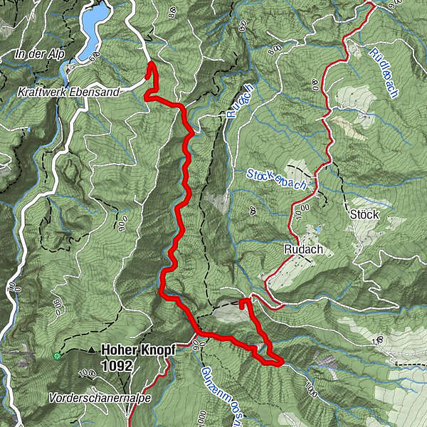
Alpwandern: Dornbirn Niedere - Durchstich - Dannersbruck - Kobelalpe

Escursionismo


- Descrizione rapida
-
Niedere - Durchstich - Dannersbruck (links abzweigen) - Kobelalpe
- Difficoltà
-
facile
- Valutazione
-
- Percorso
-
Kobelalp3,4 km
- La stagione migliore
-
genfebmaraprmaggiulugagosetottnovdic
- Punto più alto
- 985 m
- Destinazione
-
Kobelalpe
- Profilo altimetrico
-


- Autore
-
Il tour Alpwandern: Dornbirn Niedere - Durchstich - Dannersbruck - Kobelalpe è utilizzato da outdooractive.com fornito.
GPS Downloads


Info generali
Punto di ristoro
Altri tour nelle regioni
-
St. Gallen - Bodensee
2070
-
Bodensee - Vorarlberg
1317
-
Dornbirn
450


