

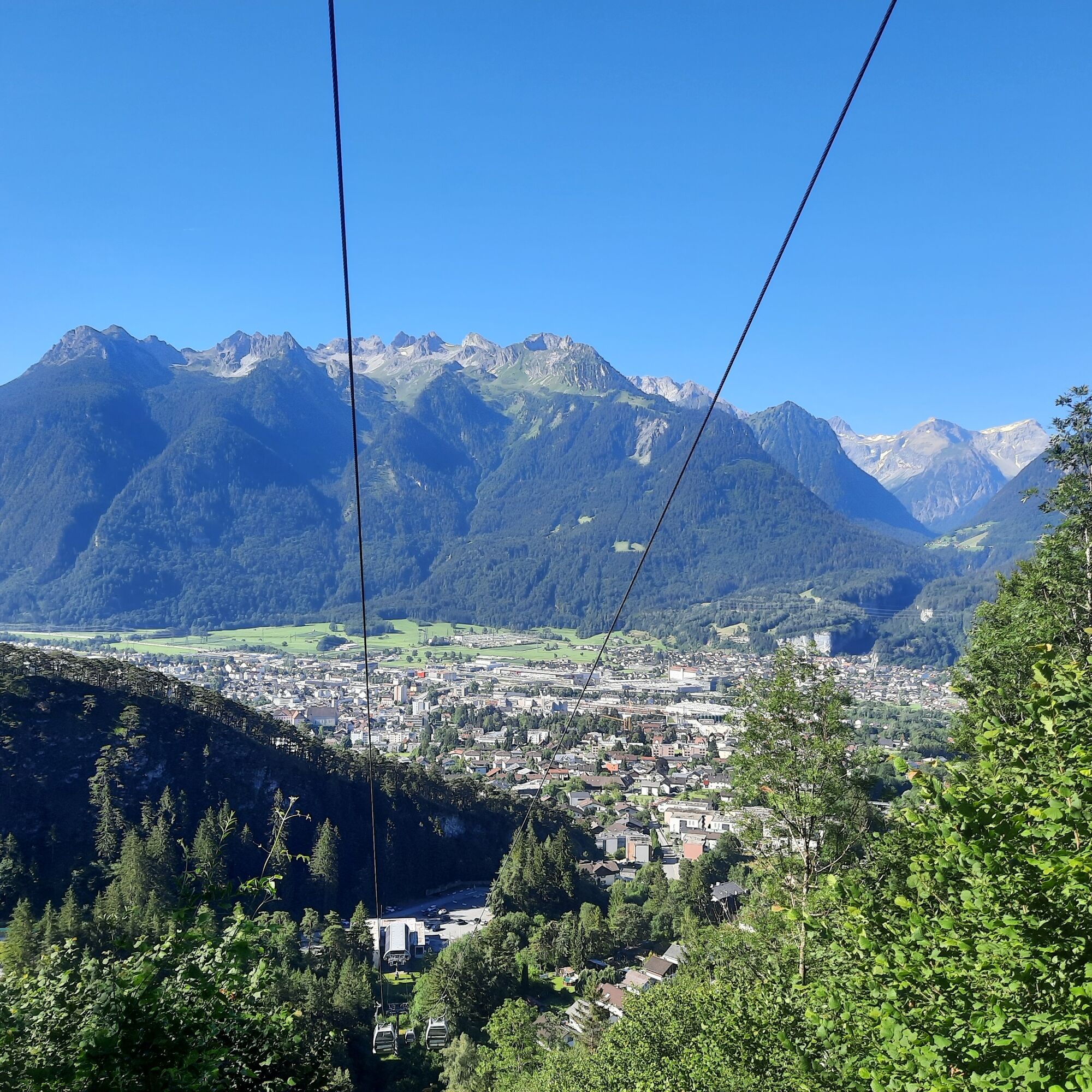
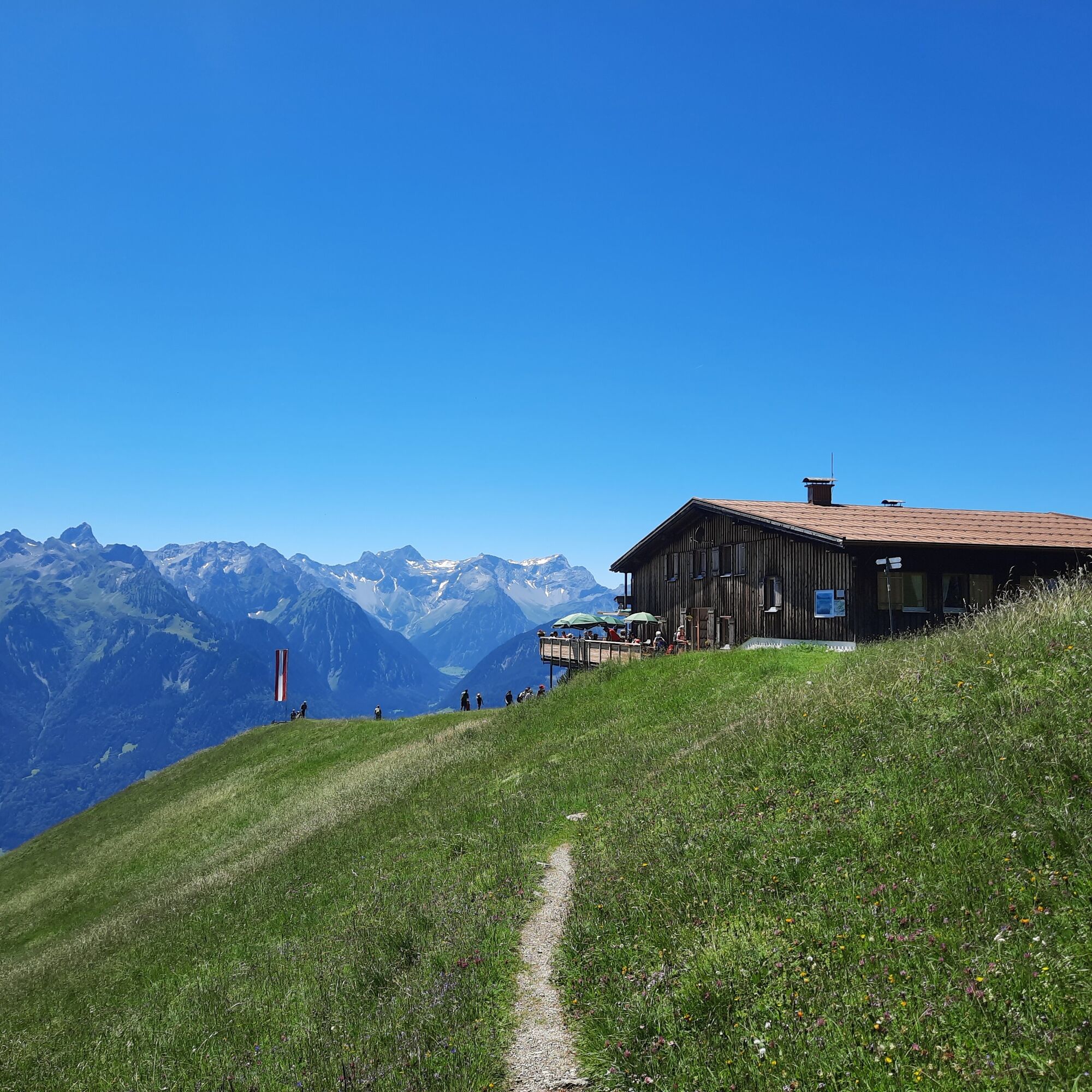
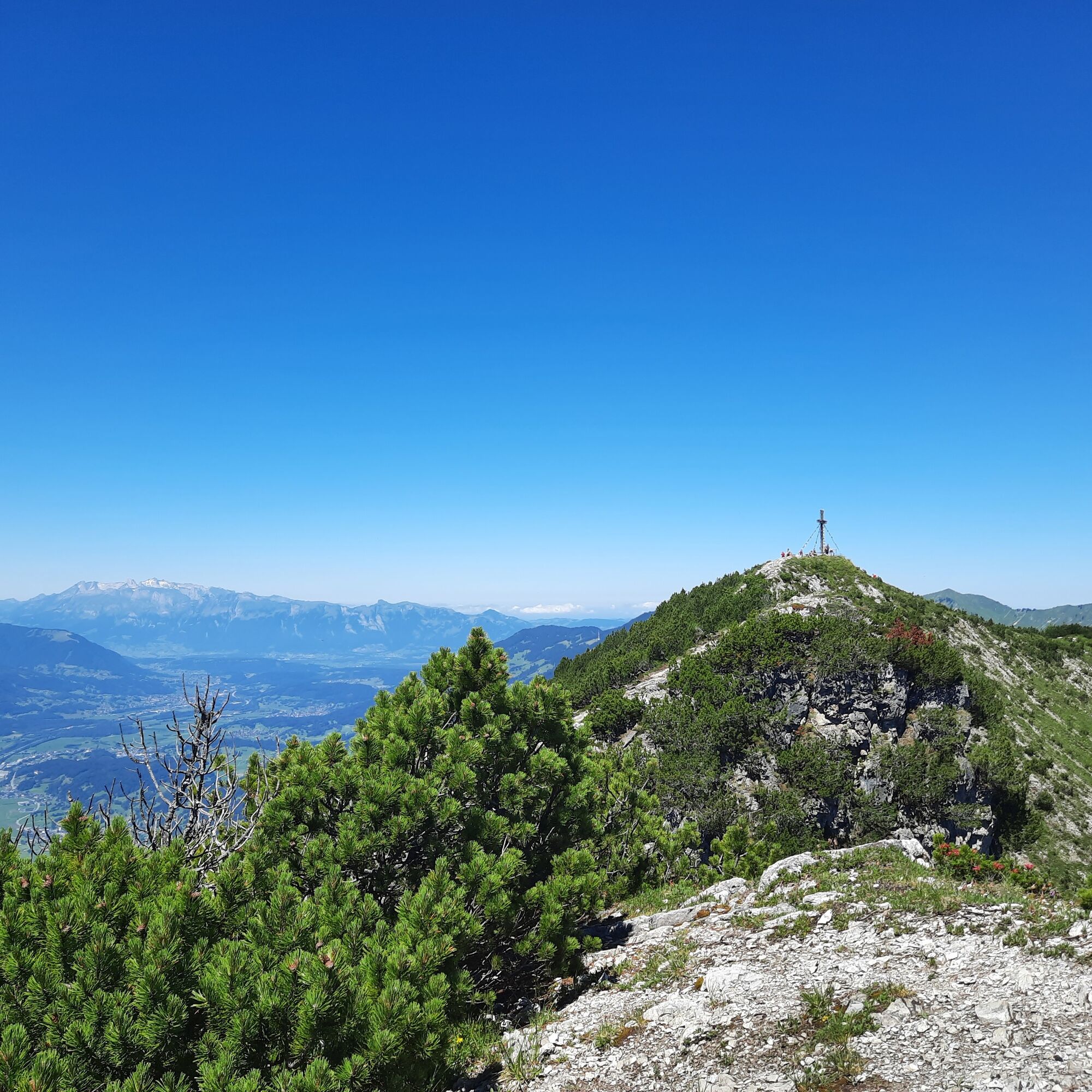
© Alpenregion Bludenz Tourismus GmbH - Melanie Fleisch

© Alpenregion Bludenz Tourismus GmbH - Melanie Fleisch

© Alpenregion Bludenz Tourismus GmbH - Melanie Fleisch

© Alpenregion Bludenz Tourismus GmbH - Melanie Fleisch

© Alpenregion Bludenz Tourismus GmbH - Melanie Fleisch

© Alpenregion Bludenz Tourismus GmbH - Melanie Fleisch

© Alpenregion Bludenz Tourismus GmbH - Melanie Fleisch

© Vorarlberg Tourismus GmbH
- Descrizione rapida
-
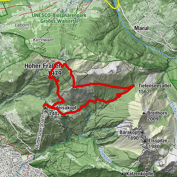
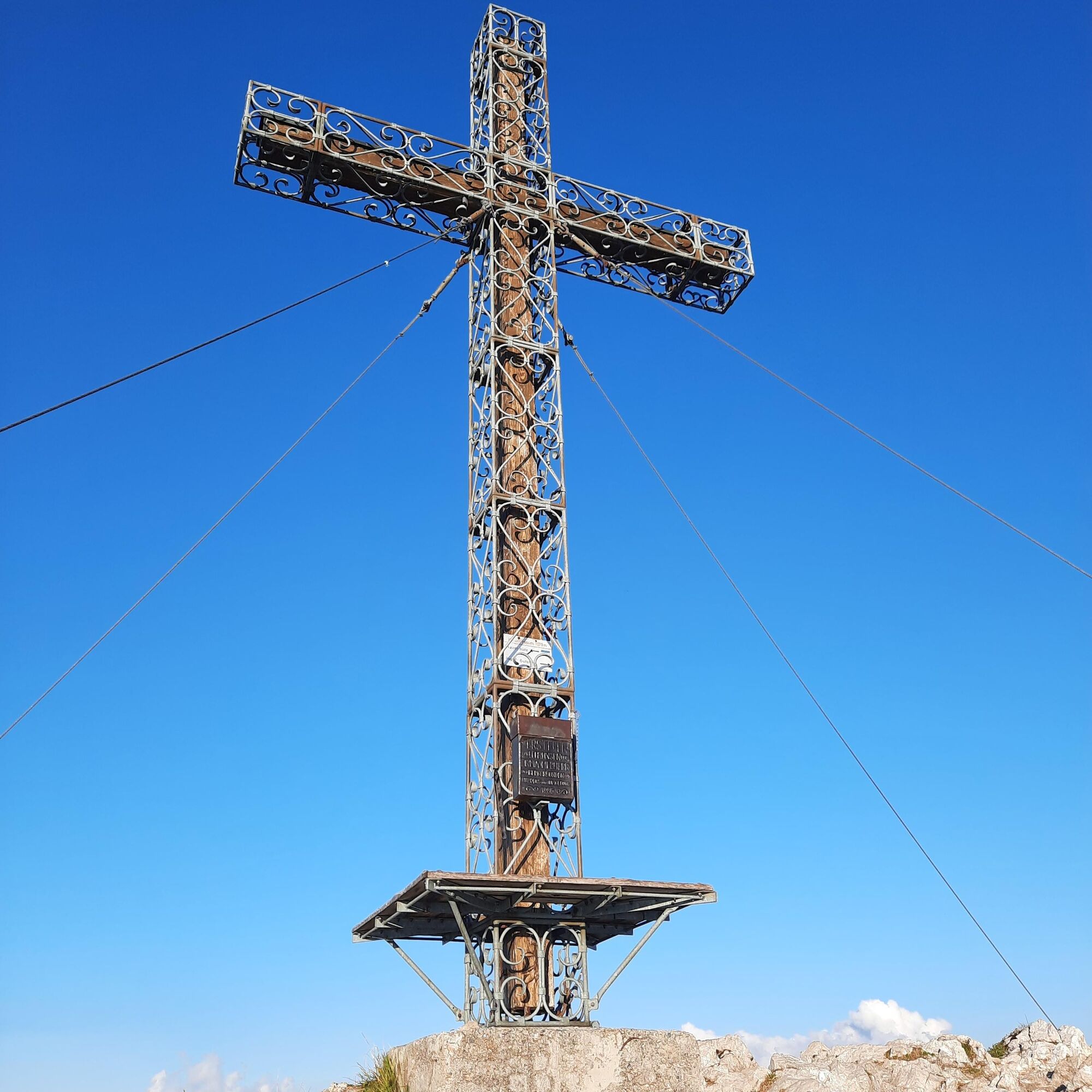
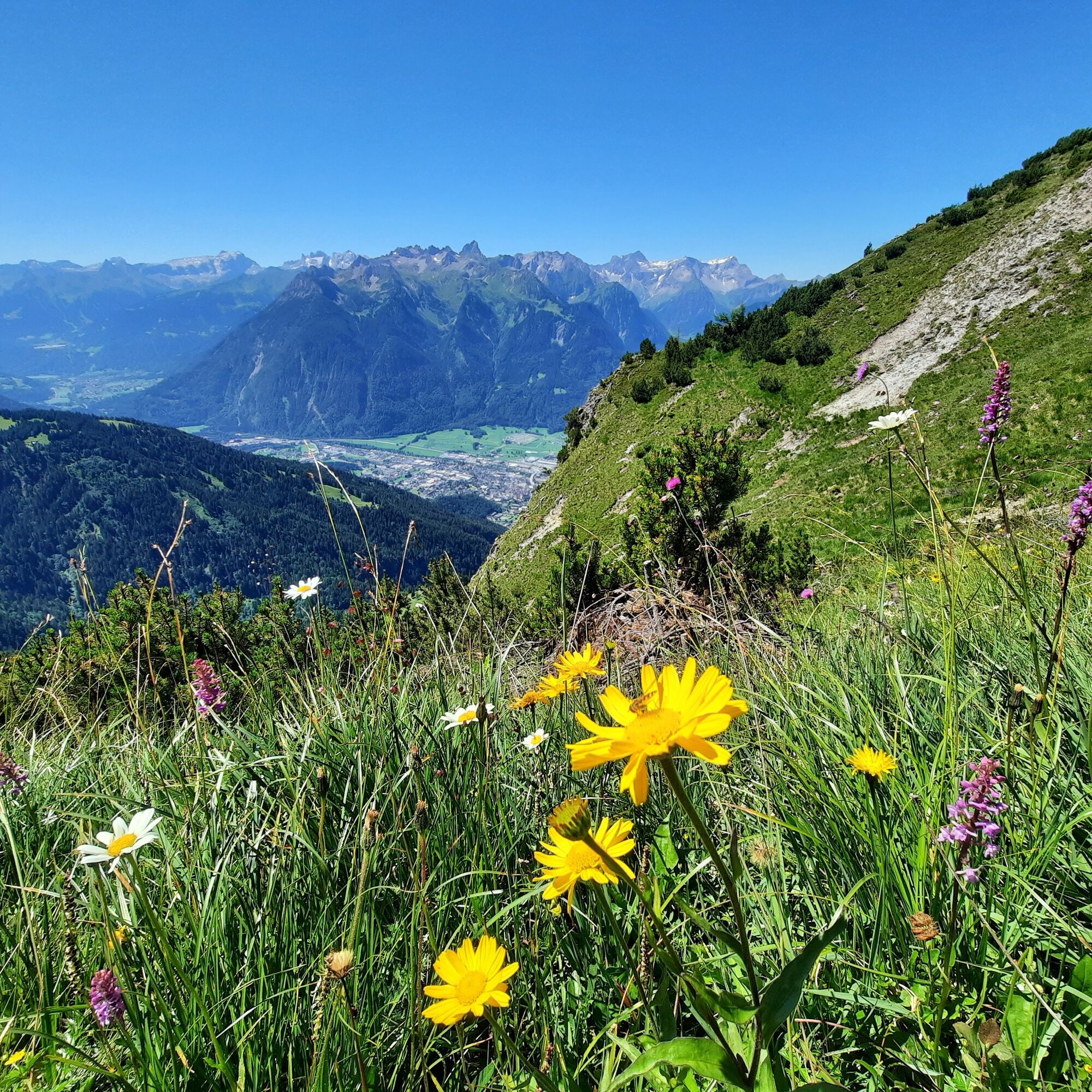
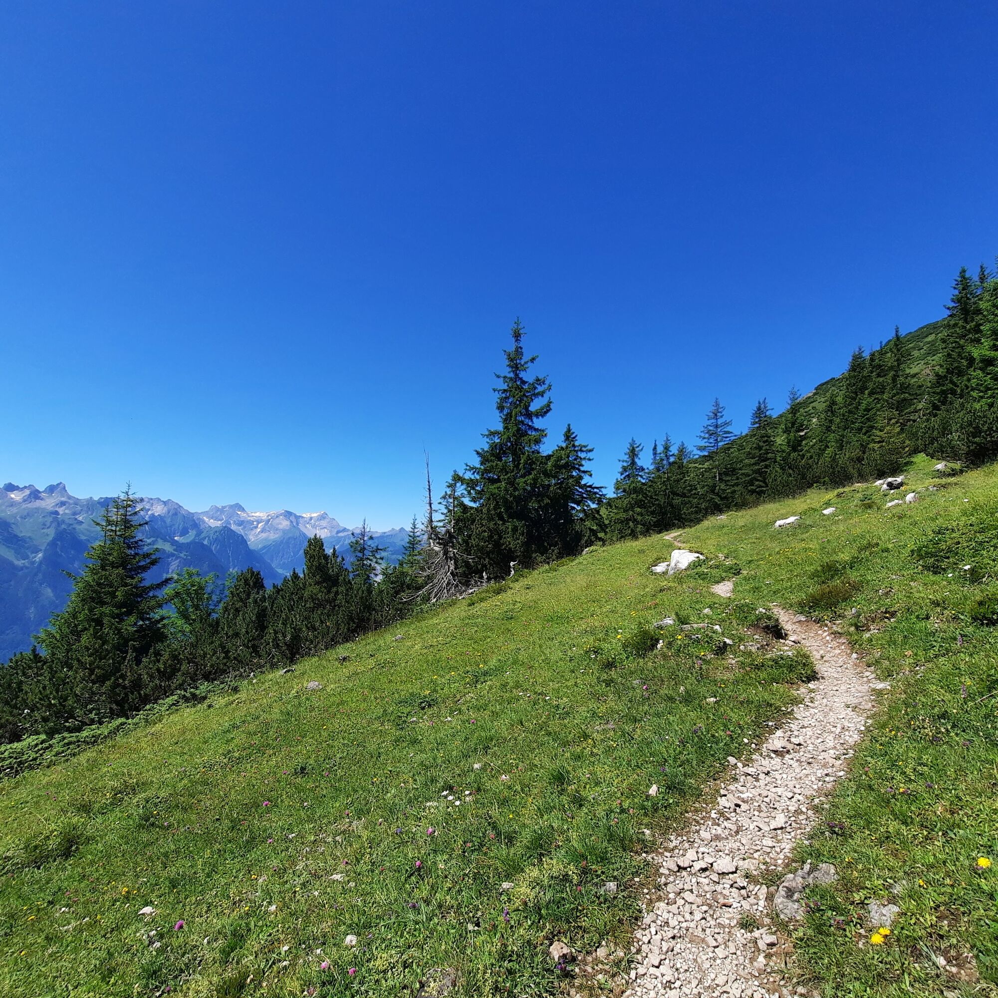
Panoramic mountain with sensational 360° panoramic view. Surrounded by the Ill, the Lutz and the Marulbach, it forms the westernmost corner of the Lechquellen Mountains.
- Difficoltà
-
intermedio
- Valutazione
-
- Percorso
-
Fraßenhütte2,0 kmHoher Fraßen (1.979 m)2,9 kmTiefenseesattel (1.562 m)5,2 kmMuttersberg8,4 kmMadeisakopf (1.402 m)9,1 km
- La stagione migliore
-
genfebmaraprmaggiulugagosetottnovdic
- Punto più alto
- 1.968 m
- Destinazione
-
Muttersberg Cable Car mountain station, Bludenz
- Profilo altimetrico
-

- Autore
-
Il tour Hoher Fraßen, 1.979 m | Bludenz-Nüziders è utilizzato da outdooractive.com fornito.
GPS Downloads


Info generali
Punto di ristoro
Promettente
Altri tour nelle regioni
-
St. Gallen - Bodensee
2067
-
Alpenstadt Bludenz
1850
-
Muttersberg - Bludenz
499


