

© Alpenregion Bludenz Tourismus GmbH - Melanie Fleisch

© Alpenregion Bludenz Tourismus GmbH - Melanie Fleisch

© Alpenregion Bludenz Tourismus GmbH - Melanie Fleisch

© Alpenregion Bludenz Tourismus GmbH - Melanie Fleisch

© Alpenregion Bludenz Tourismus GmbH - Melanie Fleisch

© Alpenregion Bludenz Tourismus GmbH - Melanie Fleisch

© Alpenregion Bludenz Tourismus GmbH - Melanie Fleisch

© Alpenregion Bludenz Tourismus GmbH - Melanie Fleisch

© Alpenregion Bludenz Tourismus GmbH - Melanie Fleisch

© Vorarlberg Tourismus GmbH
- Descrizione rapida
-
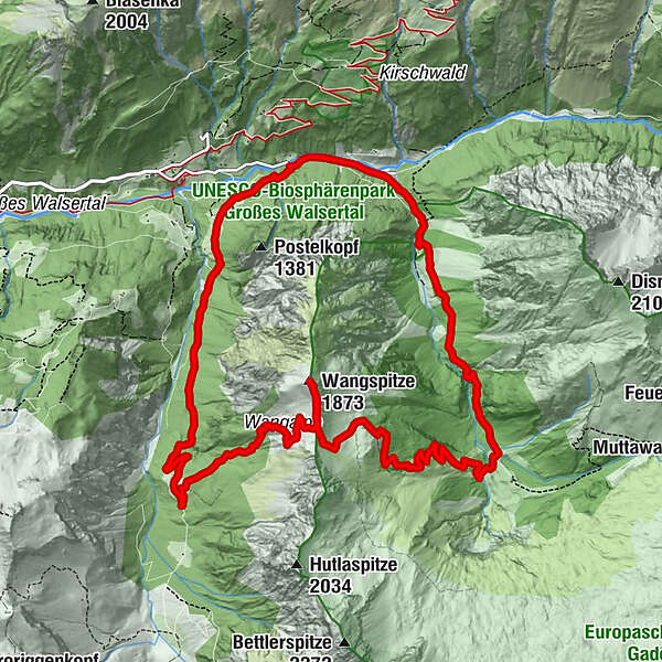
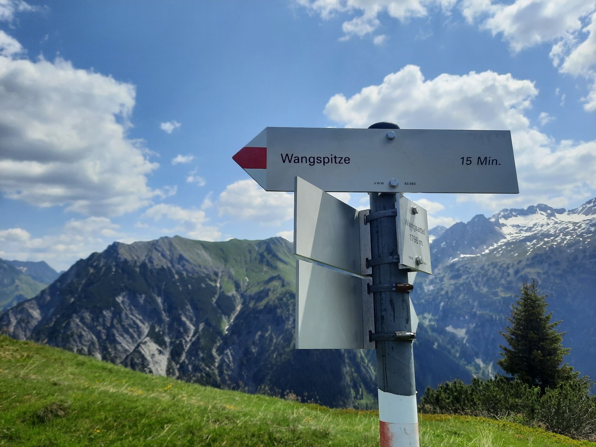
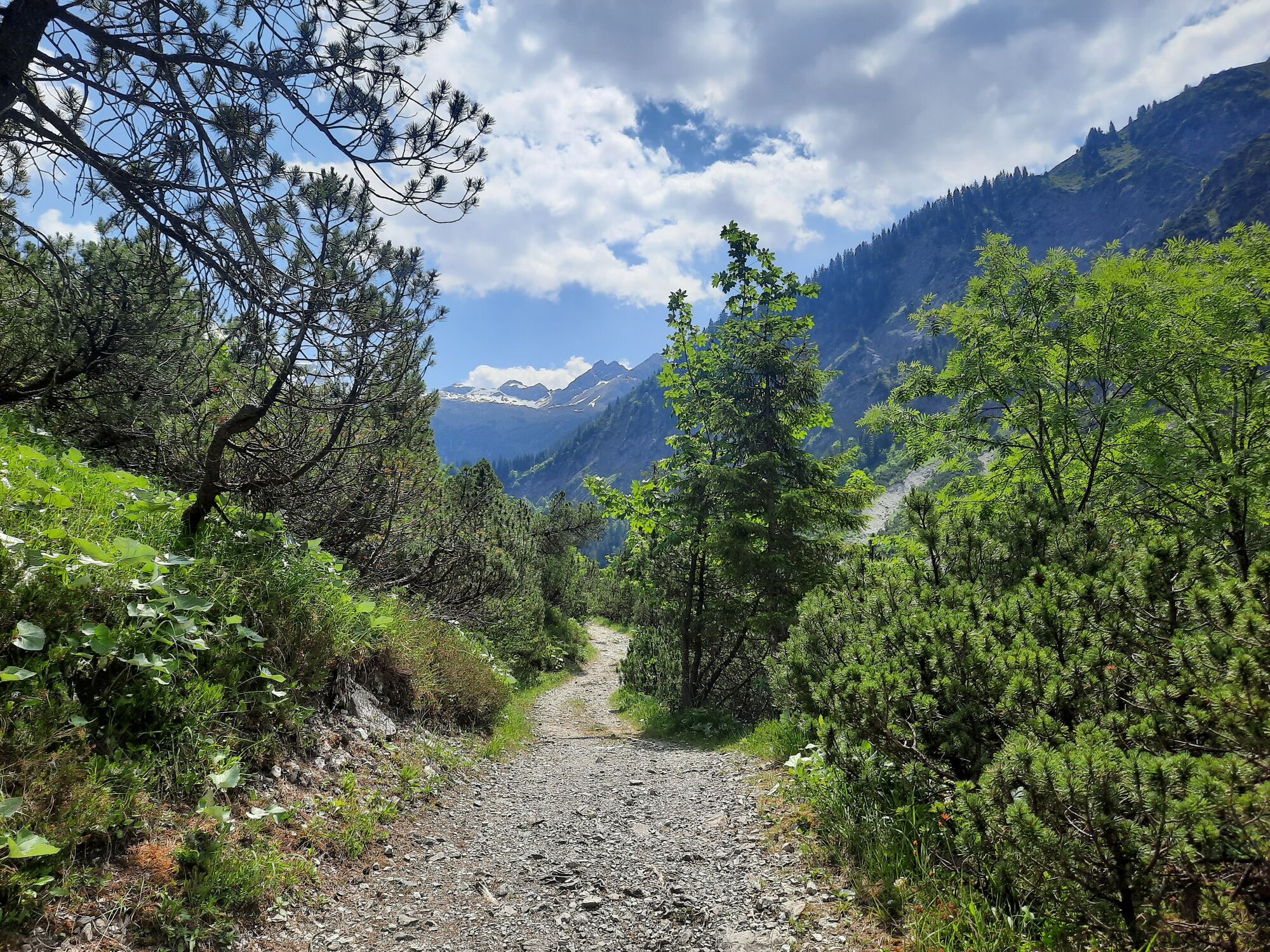
Beautiful round tour from Buchboden to the Wangspitze and further into the biosphere park core zone "Gadental".
- Difficoltà
-
difficile
- Valutazione
-
- Percorso
-
Rindereralpe4,0 kmWangspitze (1.873 m)6,5 kmMatonaalpe7,4 kmBad Rothenbrunnen12,3 kmMarienkapelle12,3 km
- La stagione migliore
-
genfebmaraprmaggiulugagosetottnovdic
- Punto più alto
- 1.858 m
- Destinazione
-
Parkplatz an der Lutz, Sonntag-Buchboden
- Profilo altimetrico
-


- Autore
-
Il tour Wangspitze, 1.873 m | Sonntag-Buchboden è utilizzato da outdooractive.com fornito.
GPS Downloads


Info generali
Punto di ristoro
Flora
Promettente
Altri tour nelle regioni


