

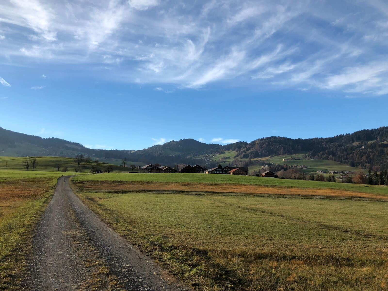
© Schwarzenberg Tourismus - Christine Kleber

- Descrizione rapida
-
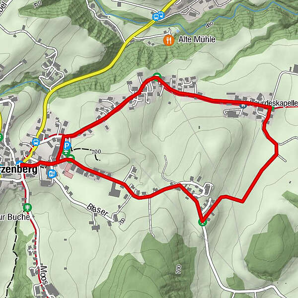
Dieser kurze und leichte Rundweg eignet sich perfekt für einen kleinen Spaziergang zu jeder Tageszeit. Vom Dorfzentrum Schwarzenberg aus spazieren Sie durch einige Weilersiedlungen von Schwarzenberg und sind nach ca. 3 Kilometern wieder im Ortszentrum angelangt.
- Difficoltà
-
facile
- Valutazione
-
- Percorso
-
Lourdeskapelle0,9 kmSchwarzenberg (696 m)2,7 km
- La stagione migliore
-
genfebmaraprmaggiulugagosetottnovdic
- Punto più alto
- 694 m
- Destinazione
-
Schwarzenberg Dorfplatz
- Profilo altimetrico
-

- Autore
-
Il tour Schwarzenberg | Eschgang è utilizzato da outdooractive.com fornito.
GPS Downloads


Info generali
Punto di ristoro
Altri tour nelle regioni
-
St. Gallen - Bodensee
2066
-
Bregenzerwald
2296
-
Schwarzenberg
609


