

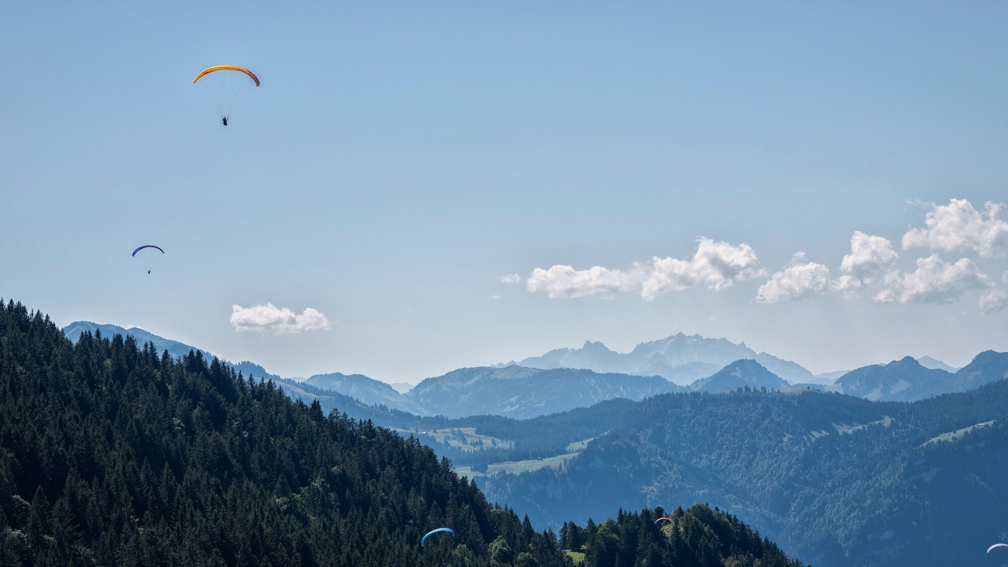
© Bregenzerwald Tourismus - Michael Namberger

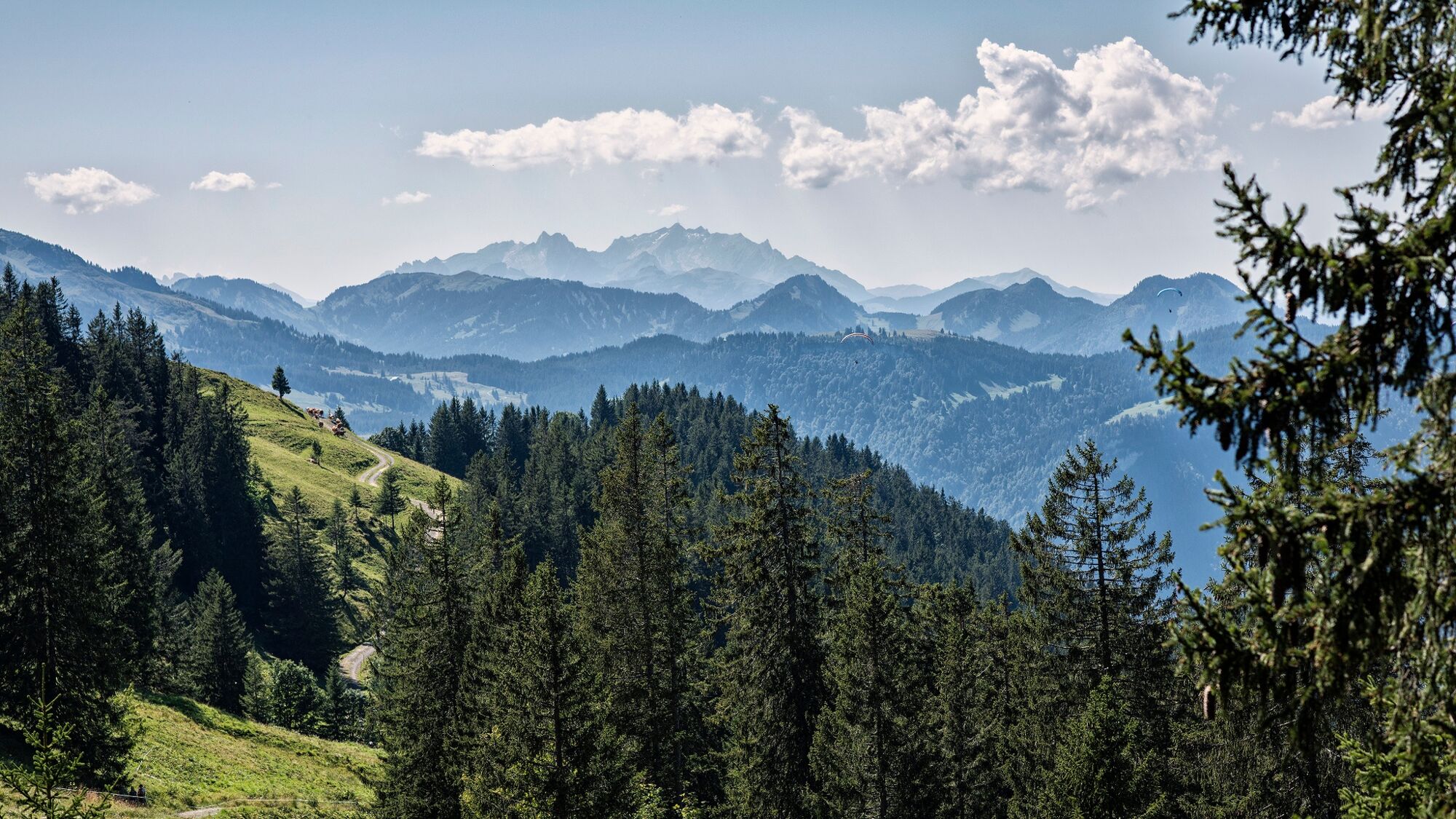
© Bregenzerwald Tourismus - Michael Namberger

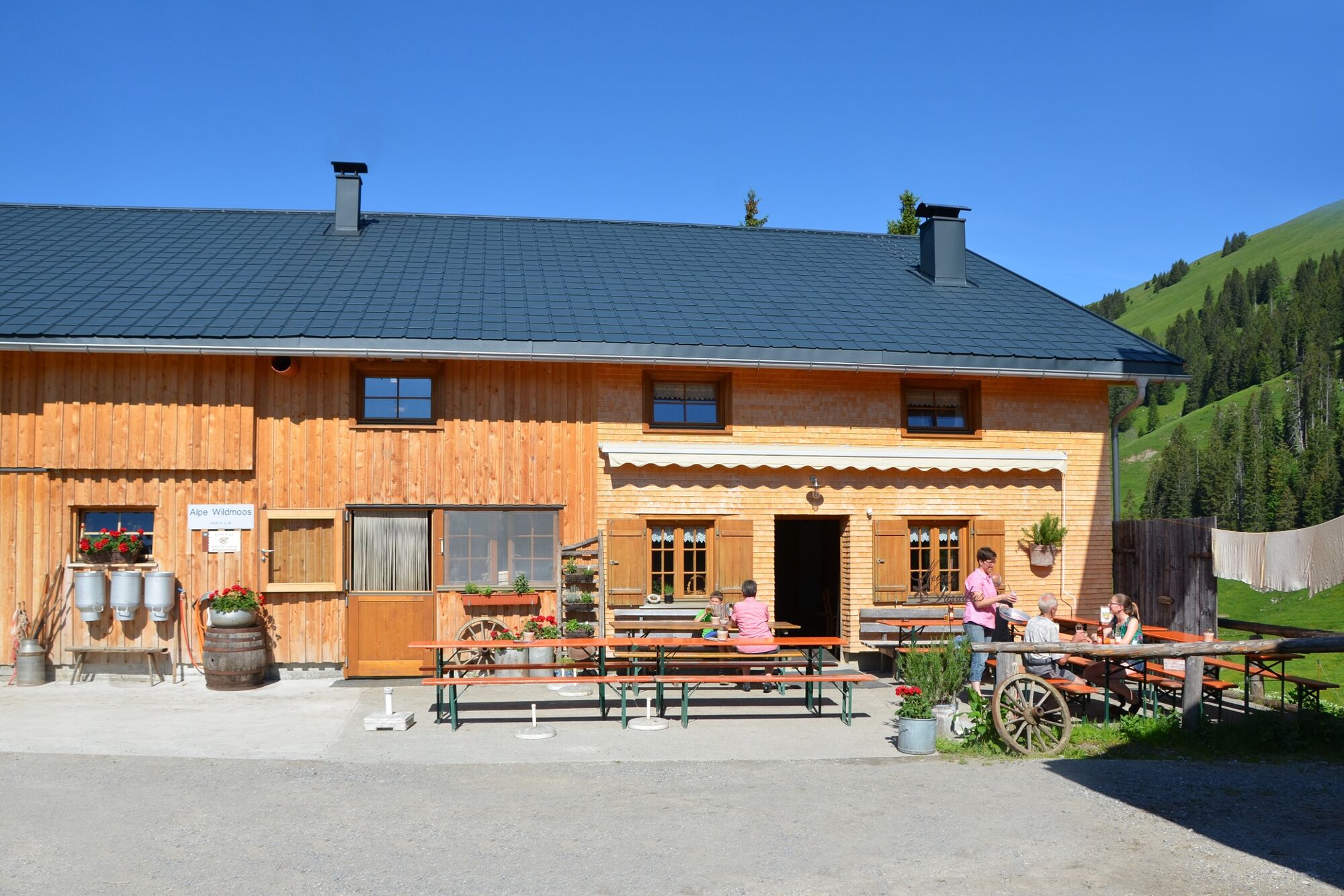
© Alpe Kassa Wildmoos - Familie Eberle

- Descrizione rapida
-
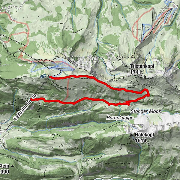
Ausgehend von der Bergstation Baumgarten führt der Wanderweg über die Hintere Niedere bis zur Stongerhöhe in Richtung Alpe Wildmoos bis zur Mittelstation Sonderdach.
- Difficoltà
-
intermedio
- Valutazione
-
- Percorso
-
Hintere Niedere (1.711 m)0,8 kmSonderdach7,0 km
- La stagione migliore
-
genfebmaraprmaggiulugagosetottnovdic
- Punto più alto
- 1.711 m
- Destinazione
-
Mittelstation Sonderdach
- Profilo altimetrico
-

- Autore
-
Il tour Bezau | Baumgarten - Stongerhöhe è utilizzato da outdooractive.com fornito.
GPS Downloads


Info generali
Punto di ristoro
Suggerimento
Promettente
Altri tour nelle regioni
-
Bregenzerwald
2297
-
Bizau
629


