

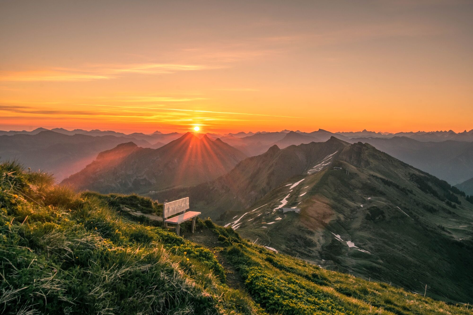
© Bregenzerwald Tourismus - Michael Meusburger

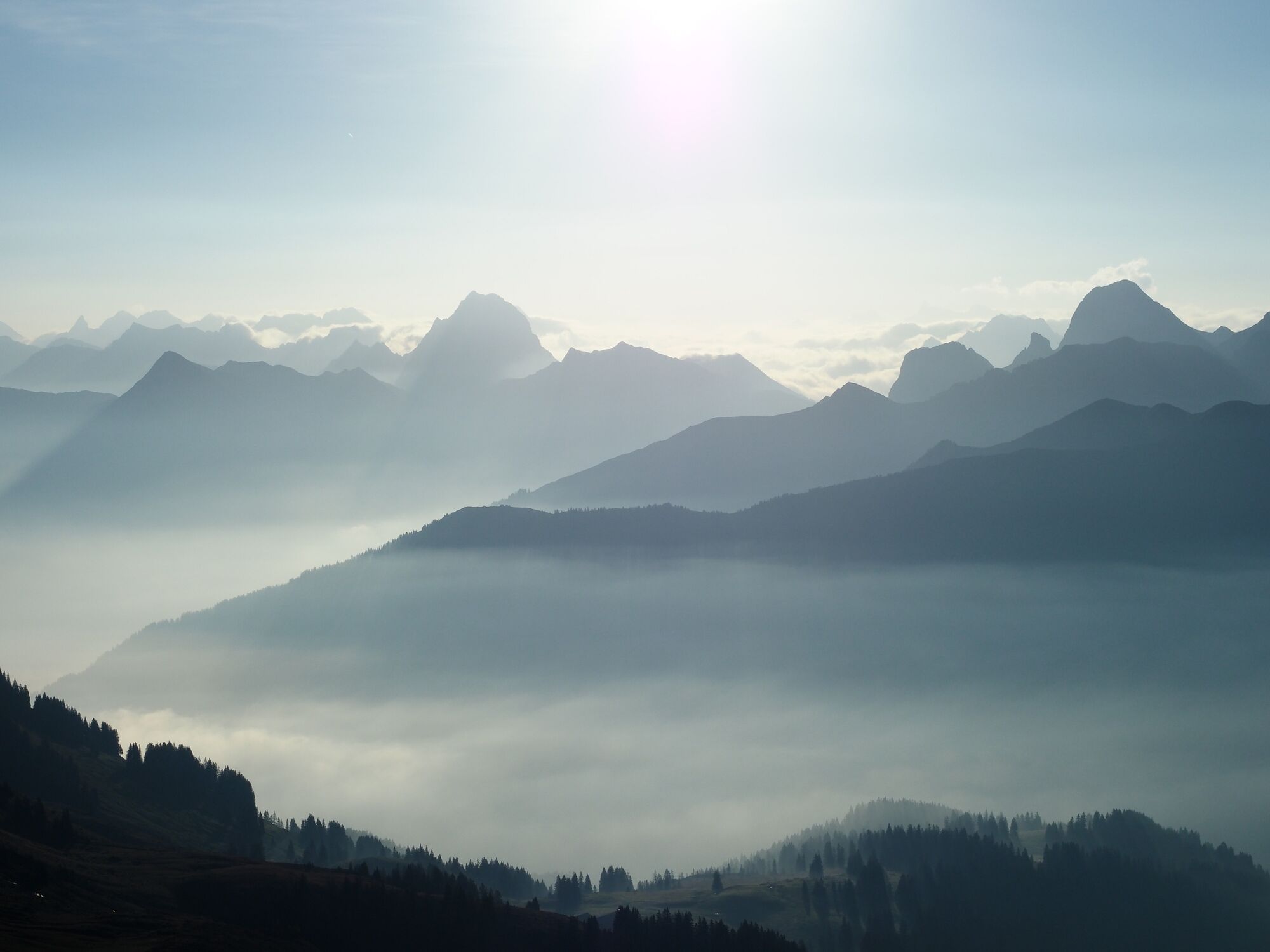
© Bregenzerwald Tourismus - Angelina Schneider

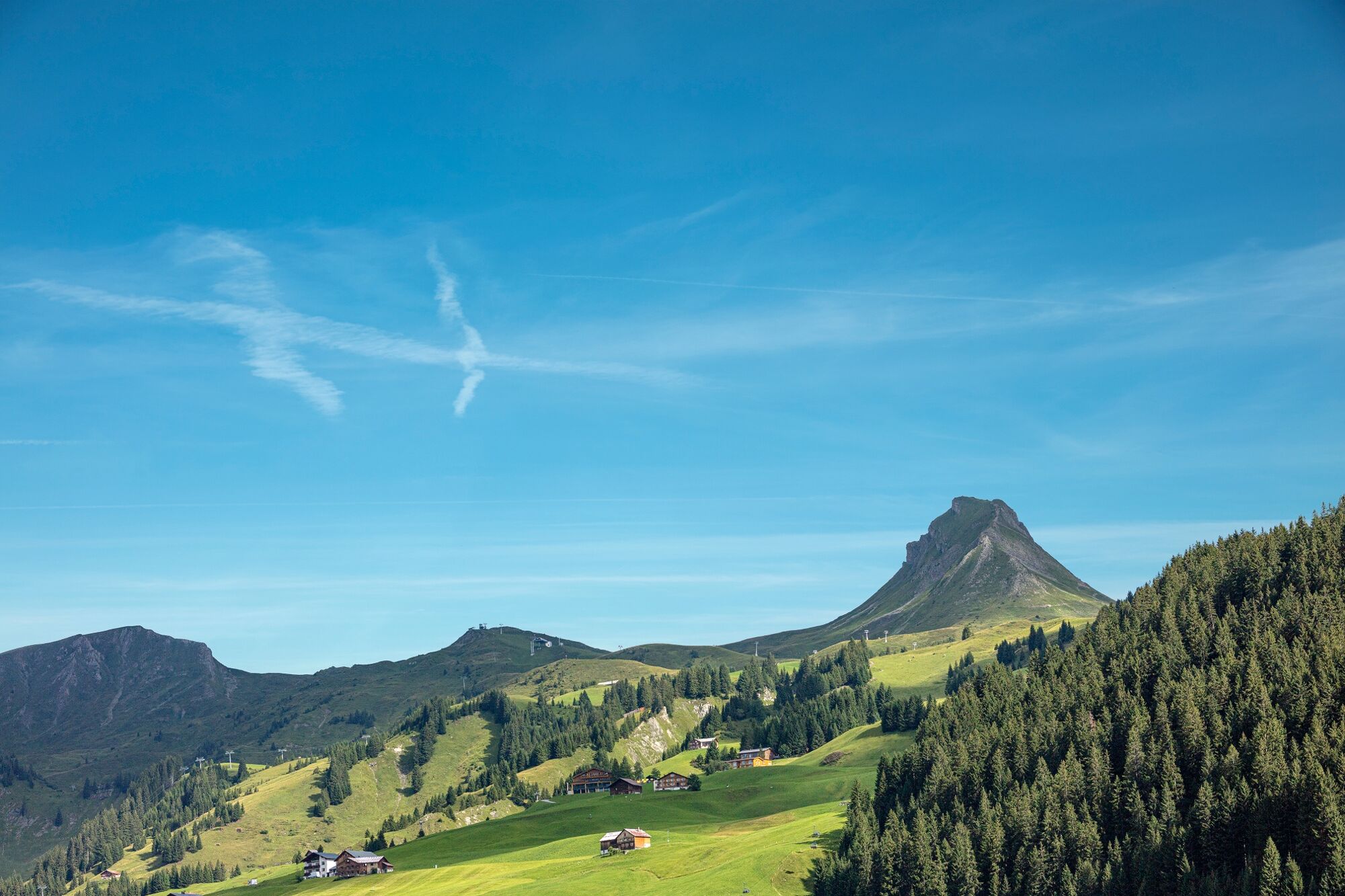
© Bregenzerwald Tourismus - Sebastian Stiphout

© Bregenzerwald Tourismus - Matthias Fetz

© Bregenzerwald Tourismus - Michael Meusburger

© Bregenzerwald Tourismus - Angelina Schneider

© Bregenzerwald Tourismus - Angelina Schneider

© Bregenzerwald Tourismus - Adolf Bereuter

- Descrizione rapida
-
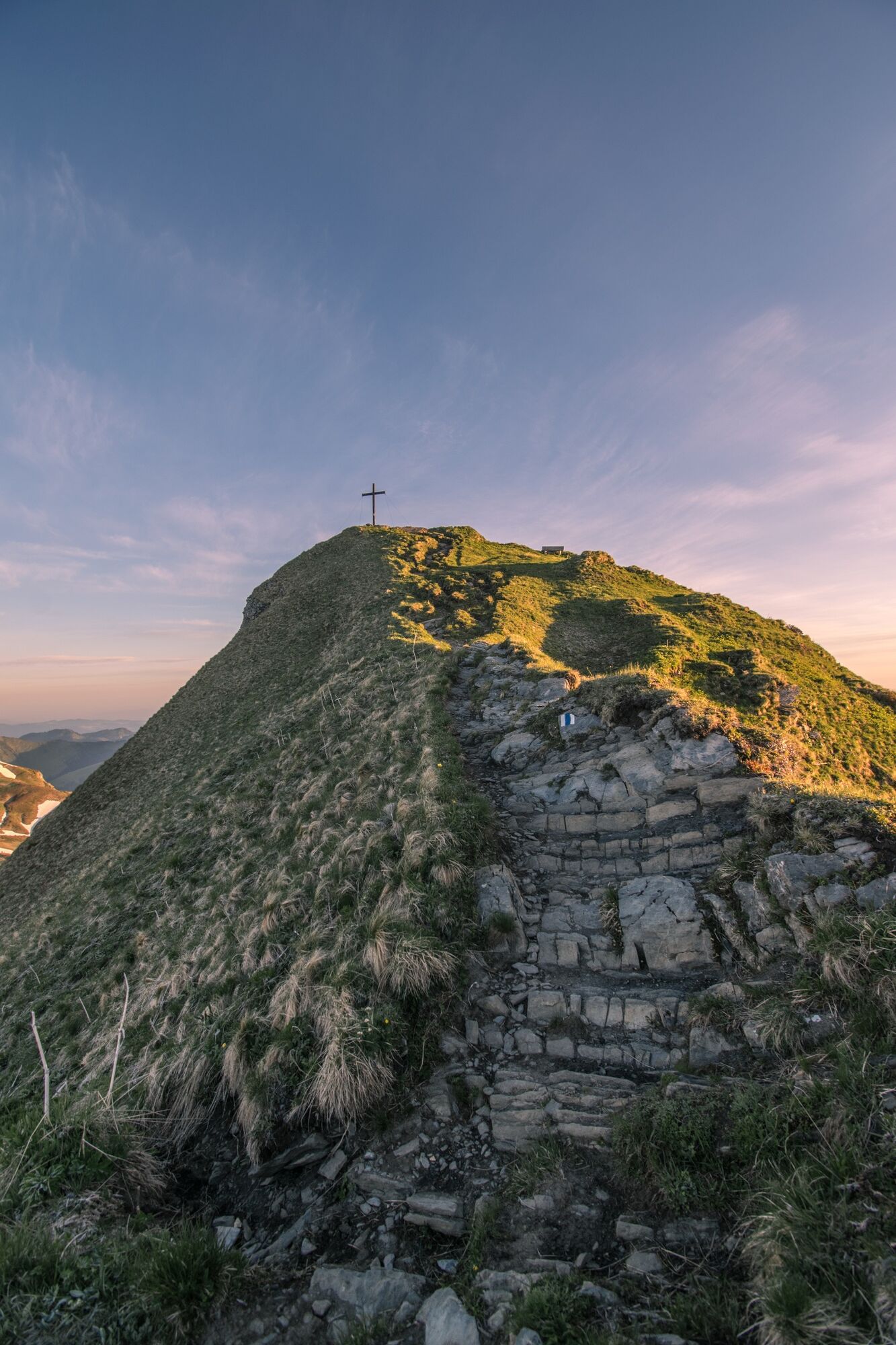
Eine kurze Bergtour mit Bergbahnauffahrt.
- Difficoltà
-
intermedio
- Valutazione
-
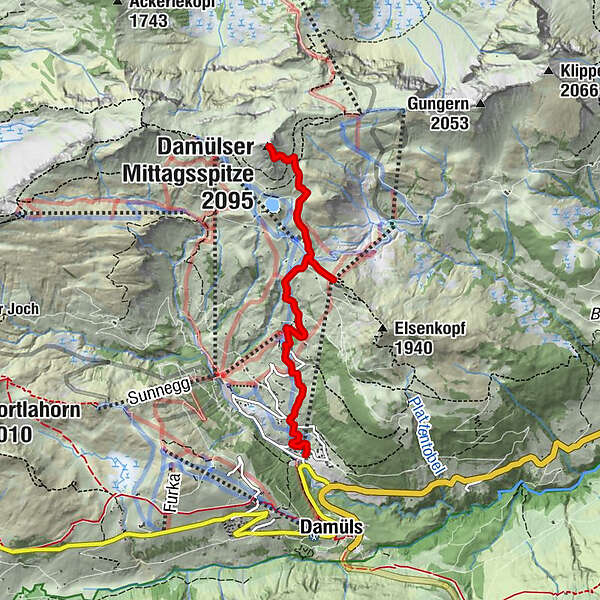
- Percorso
-
Alpe Uga2,8 kmUga Alp2,8 kmVordere Ugaalpe3,1 kmPizzeria da Ingo5,7 km
- La stagione migliore
-
genfebmaraprmaggiulugagosetottnovdic
- Punto più alto
- 2.024 m
- Destinazione
-
Damüls cable car station
- Profilo altimetrico
-


- Autore
-
Il tour Damüls | Mittagspitze è utilizzato da outdooractive.com fornito.
GPS Downloads


Info generali
Punto di ristoro
Promettente
Altri tour nelle regioni
-
St. Gallen - Bodensee
2064
-
Biosphärenpark Großes Walsertal
2006
-
Damüls
576


