

© best mountain artist - Thorsten Günthert

© best mountain artist - Thorsten Günthert

© best mountain artist - Thorsten Günthert

© best mountain artist - Thorsten Günthert

© best mountain artist - Thorsten Günthert

© Vorarlberg Tourismus GmbH
- Descrizione rapida
-
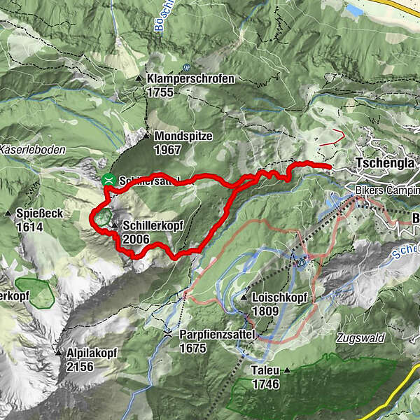
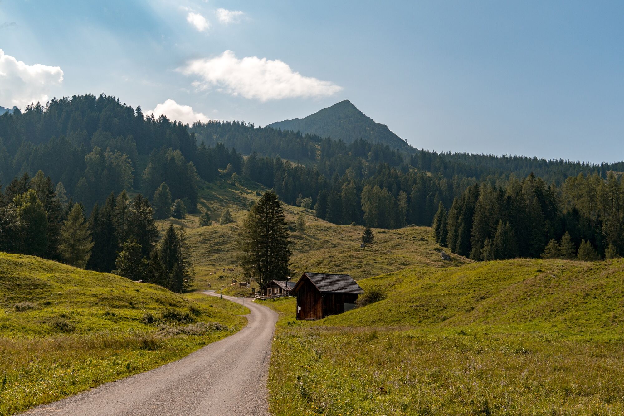
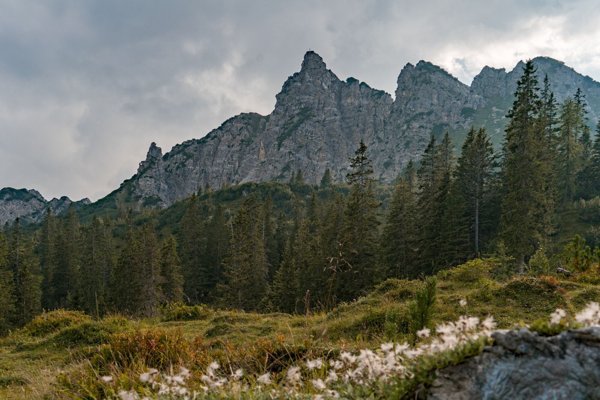
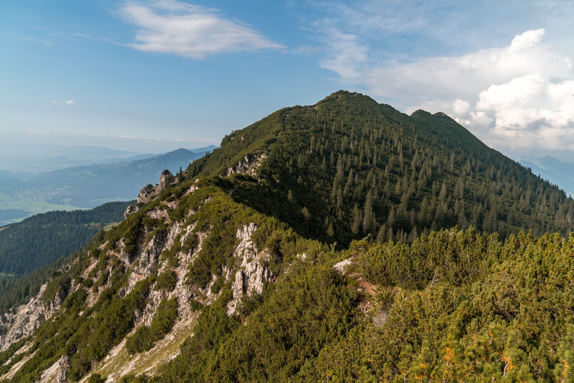
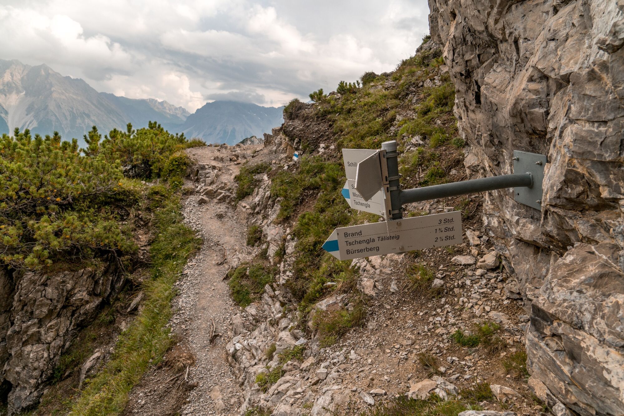
A varied mountain hike across meadows, through woods and over rocky terrain up to the 2,006 m high Schillerkopf.
- Difficoltà
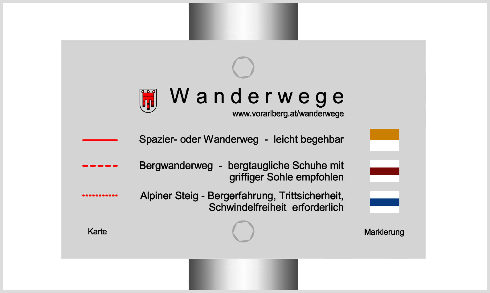
-
intermedio
- Valutazione
-
- Percorso
-
Schillerkopf (2.006 m)4,4 km
- La stagione migliore
-
genfebmaraprmaggiulugagosetottnovdic
- Punto più alto
- 1.965 m
- Destinazione
-
Hiking parking lot Tschengla, Bürserberg
- Profilo altimetrico
-


- Autore
-
Il tour Schillerkopf, 2.006 m | Bürserberg è utilizzato da outdooractive.com fornito.
GPS Downloads


Info generali
Promettente
Altri tour nelle regioni
-
St. Gallen - Bodensee
2065
-
Brandnertal
1567
-
Brand
431


