


Dati percorsi
2,84km
639
- 757m
115hm
118hm
00:42h

- Descrizione rapida
-
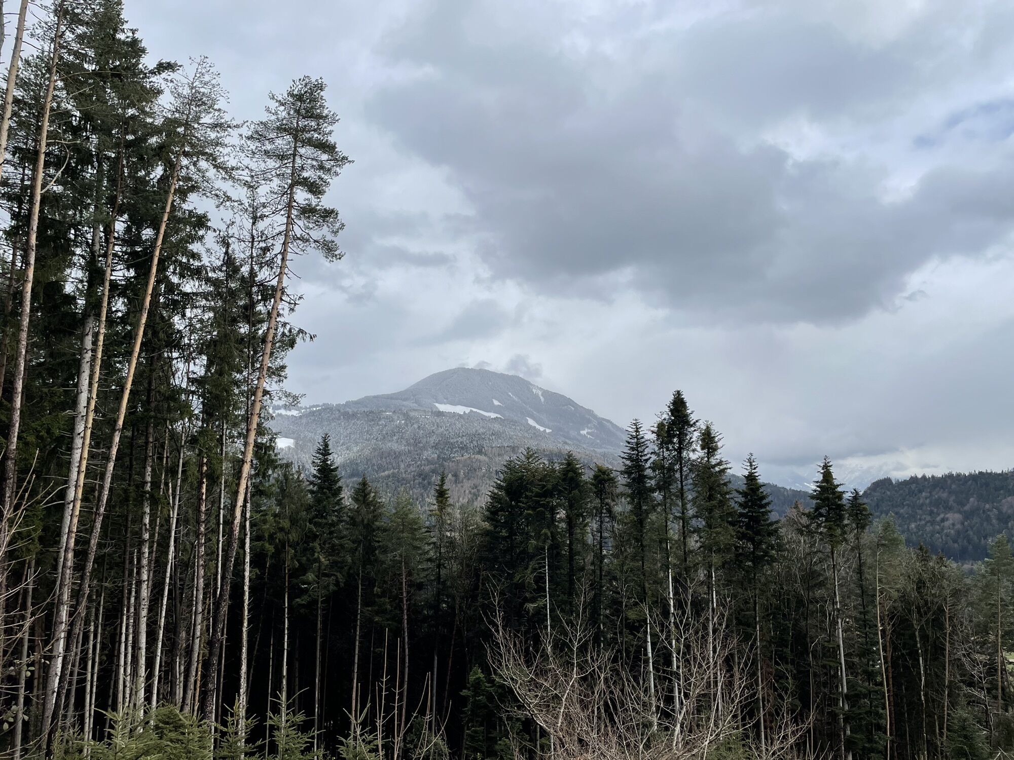
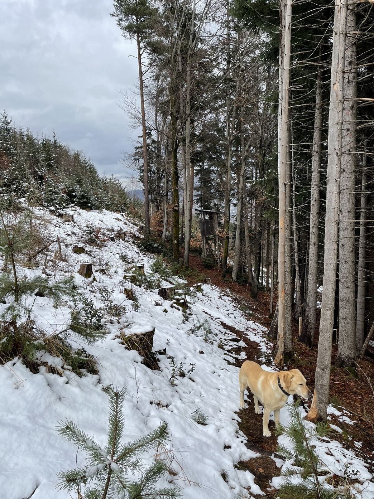
Spaziergang mit dem Hund
- Difficoltà
-
facile
- Valutazione
-
- Percorso
-
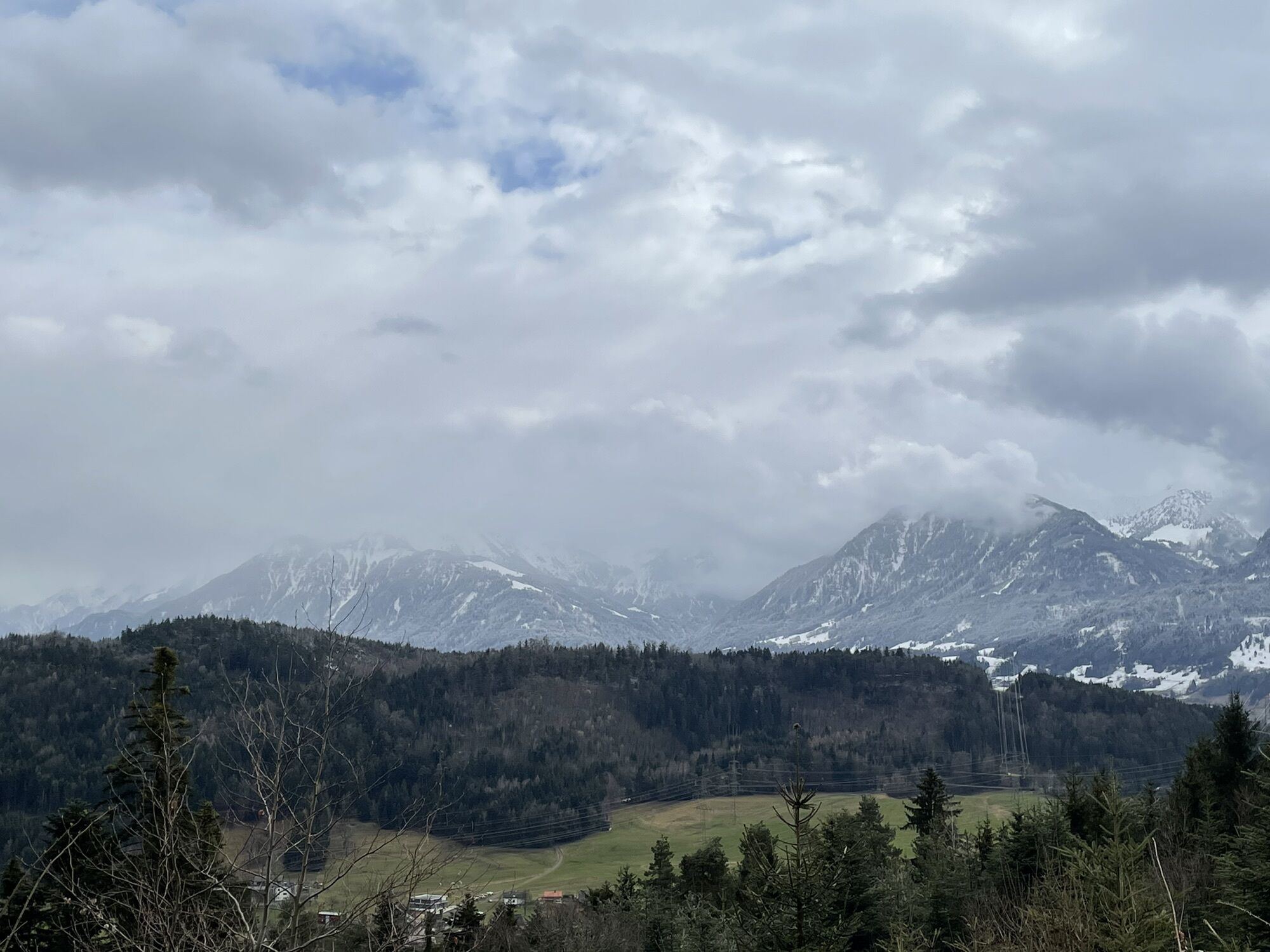
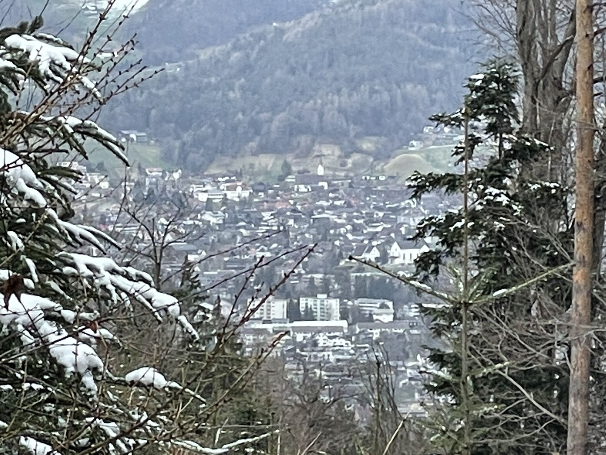
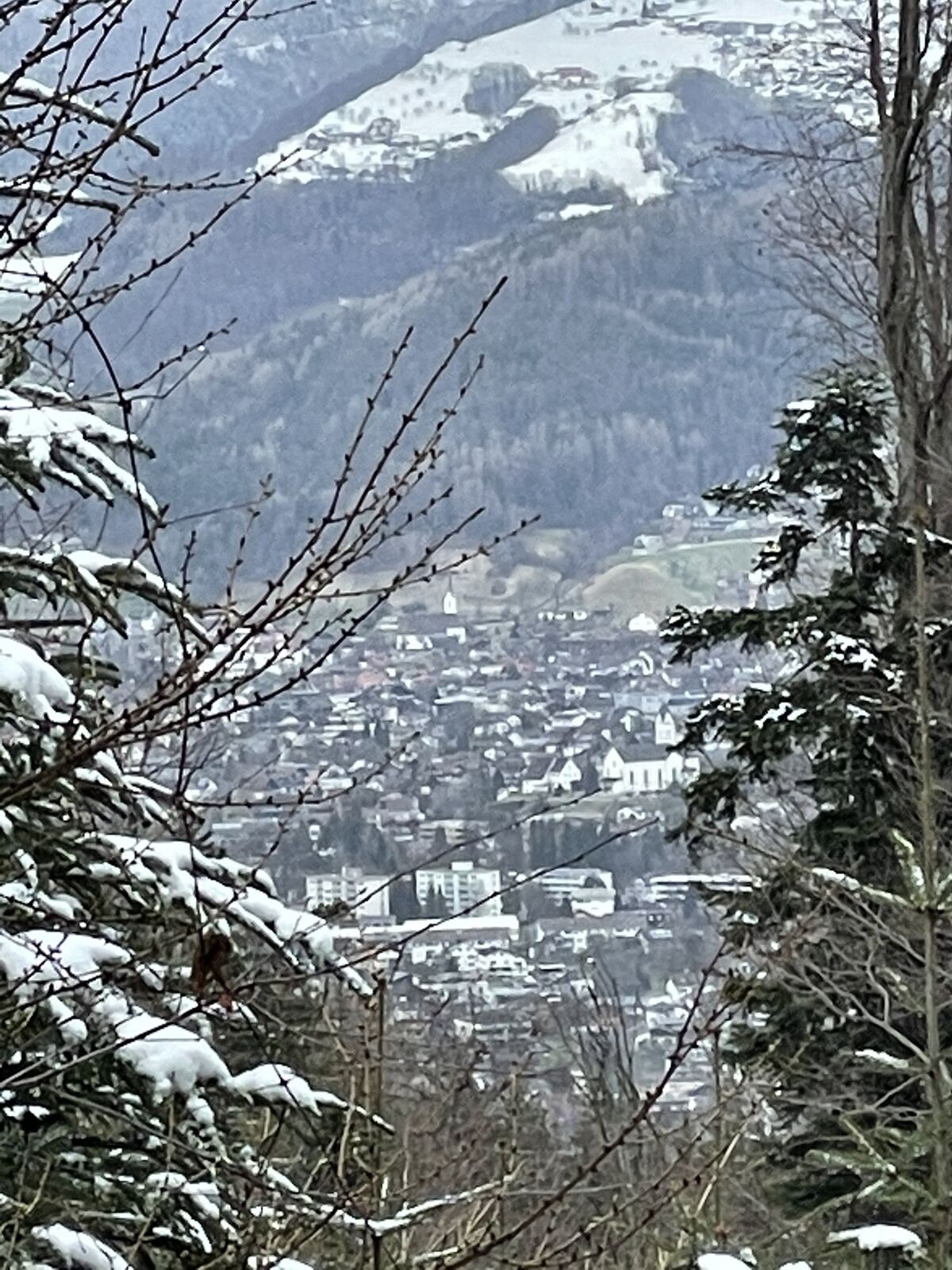
Feldkirch0,1 kmGöfis Bruderebene0,6 kmHoher Sattel (751 m)1,3 km
- Punto più alto
- 757 m


GPS Downloads


Altri tour nelle regioni
-
St. Gallen - Bodensee
2064
-
St. Galler Rheintal
1331
-
Göfis
332


