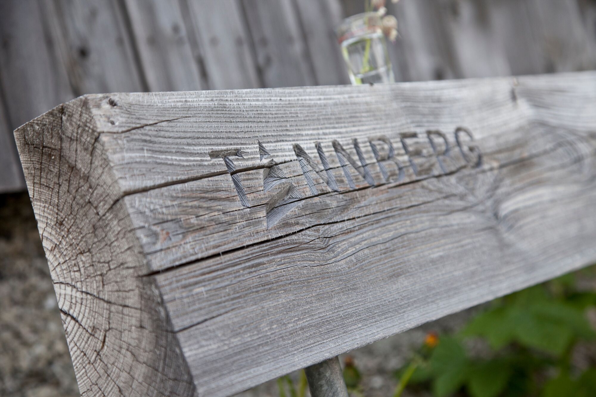
Tannbergweg “On the footsteps of the Walsers at the Tannberg"

Sentiero tematico

© Warth-Schröcken Tourismus - Klaus Kranebitter

© Warth-Schröcken Tourismus - Klaus Kranebitter

© Warth-Schröcken Tourismus - Klaus Kranebitter

- Descrizione rapida
-
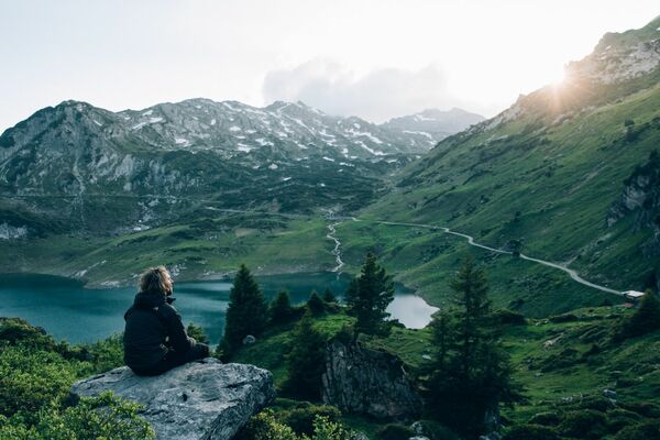
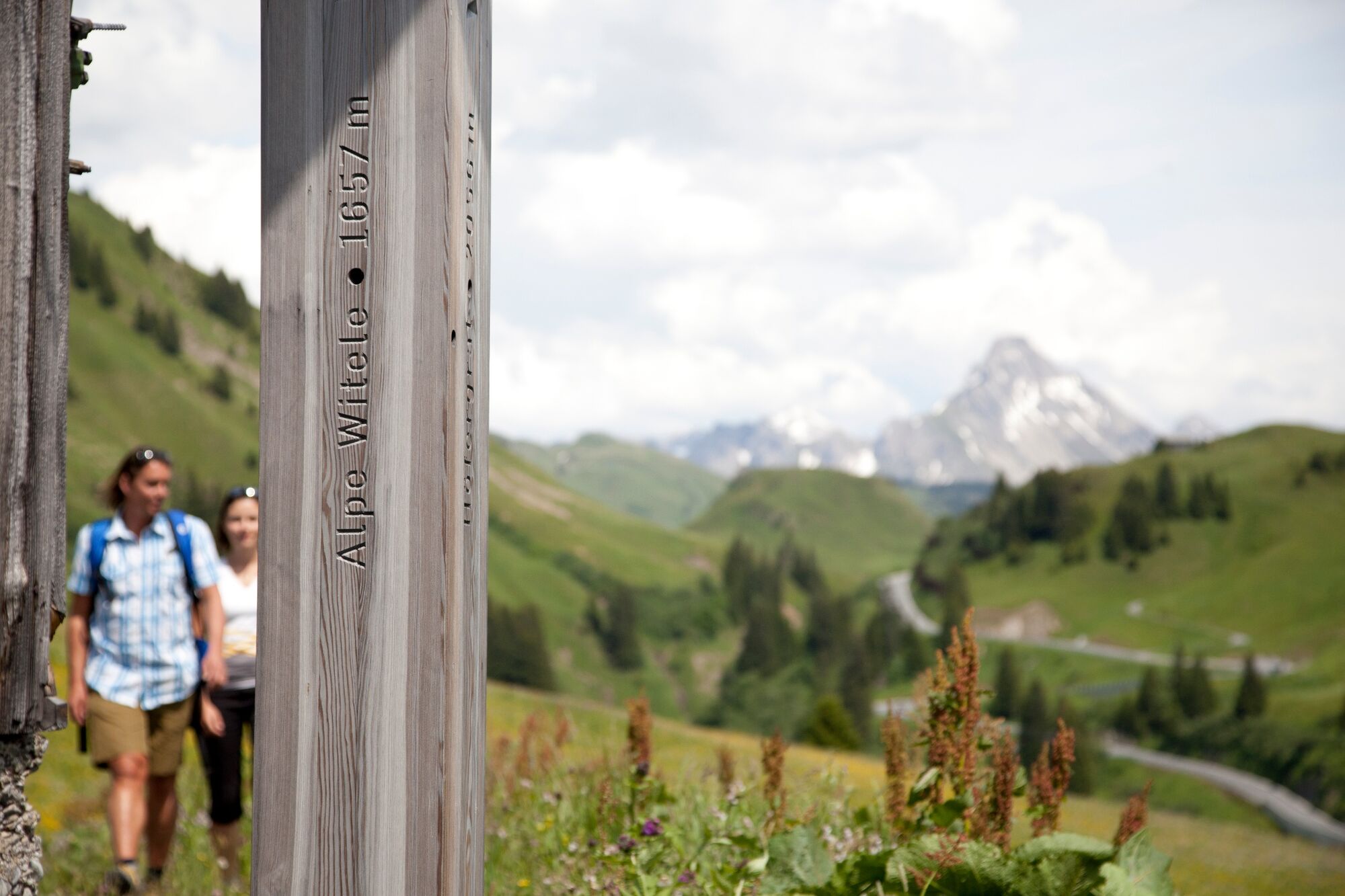
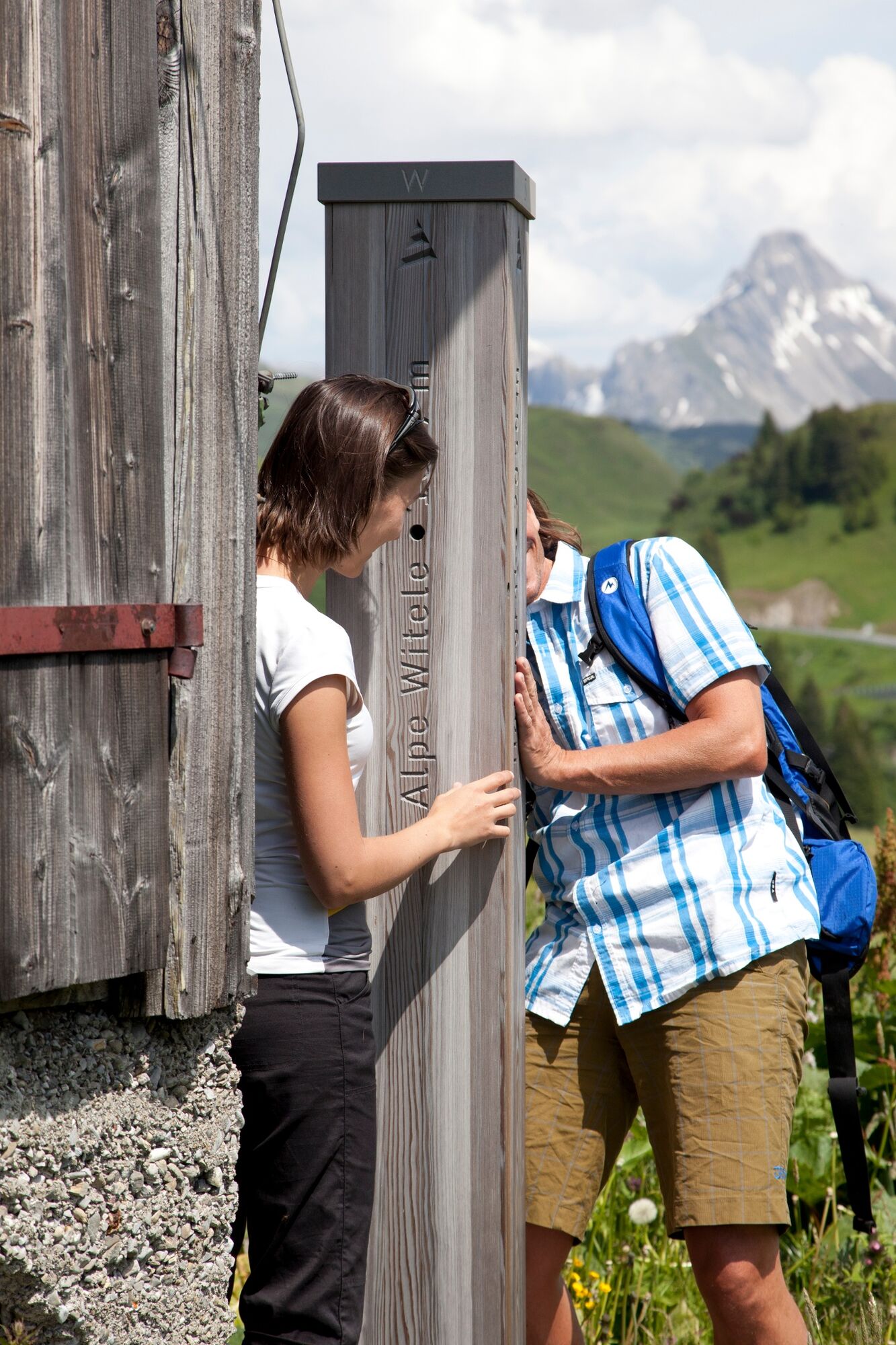
A thematic journey through the shared history of Warth, Schröcken and Lech. The Tannberg is the summer pendant to the Arlberg and includes the villages Warth, Schröcken and Lech. " On the footsteps of the Walser on the Tannberg" is a themed trail that tells the common story of the Walser settlement in the Swiss canton of Valais. At a total of 57 stations along the route, the trail provides an insight into the life and work of the Walser on the Tannberg.
- Difficoltà
-
intermedio
- Valutazione
-
- Percorso
-
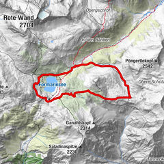
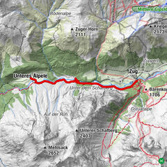
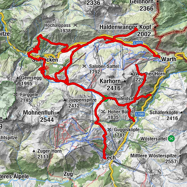
Gspa1,2 kmBürstegg2,7 kmJausenstation Bürstegg5,2 kmEgge8,1 kmKarbühel (1.840 m)9,2 kmKarbühel9,9 kmÜbungslift Oberlech13,2 kmOberlech13,6 kmLech (1.444 m)15,2 kmBergbahn Lech - Oberlech16,5 kmÜbungslift Oberlech17,1 kmUntere Auenfeldalpe20,8 kmMaterialseilbahn Körbersee26,3 kmSchröcken (1.269 m)26,4 kmTannberg26,5 kmIm Heimboden26,8 kmKapelle Unterer Giersboden27,7 kmUnterboden27,8 kmMaterialseilbahn32,2 kmNesslegg33,1 kmWittelealp33,9 kmMaterialseilbahn Körbersee36,2 kmKapelle St. Jakobus42,9 kmHochkrumbach44,9 kmHochkrumbach48,7 kmSennkuchl49,0 kmJägeralpe49,0 kmHolzbodenalpe49,7 kmWolfegg51,3 km
- La stagione migliore
-
genfebmaraprmaggiulugagosetottnovdic
- Punto più alto
- 1.943 m
- Destinazione
-
can be freely selected
- Profilo altimetrico
-

-

-
AutoreIl tour Tannbergweg “On the footsteps of the Walsers at the Tannberg" è utilizzato da outdooractive.com fornito.
GPS Downloads


Info generali
Punto di ristoro
Culturale/Storico
Suggerimento
Promettente
Altri tour nelle regioni