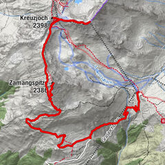
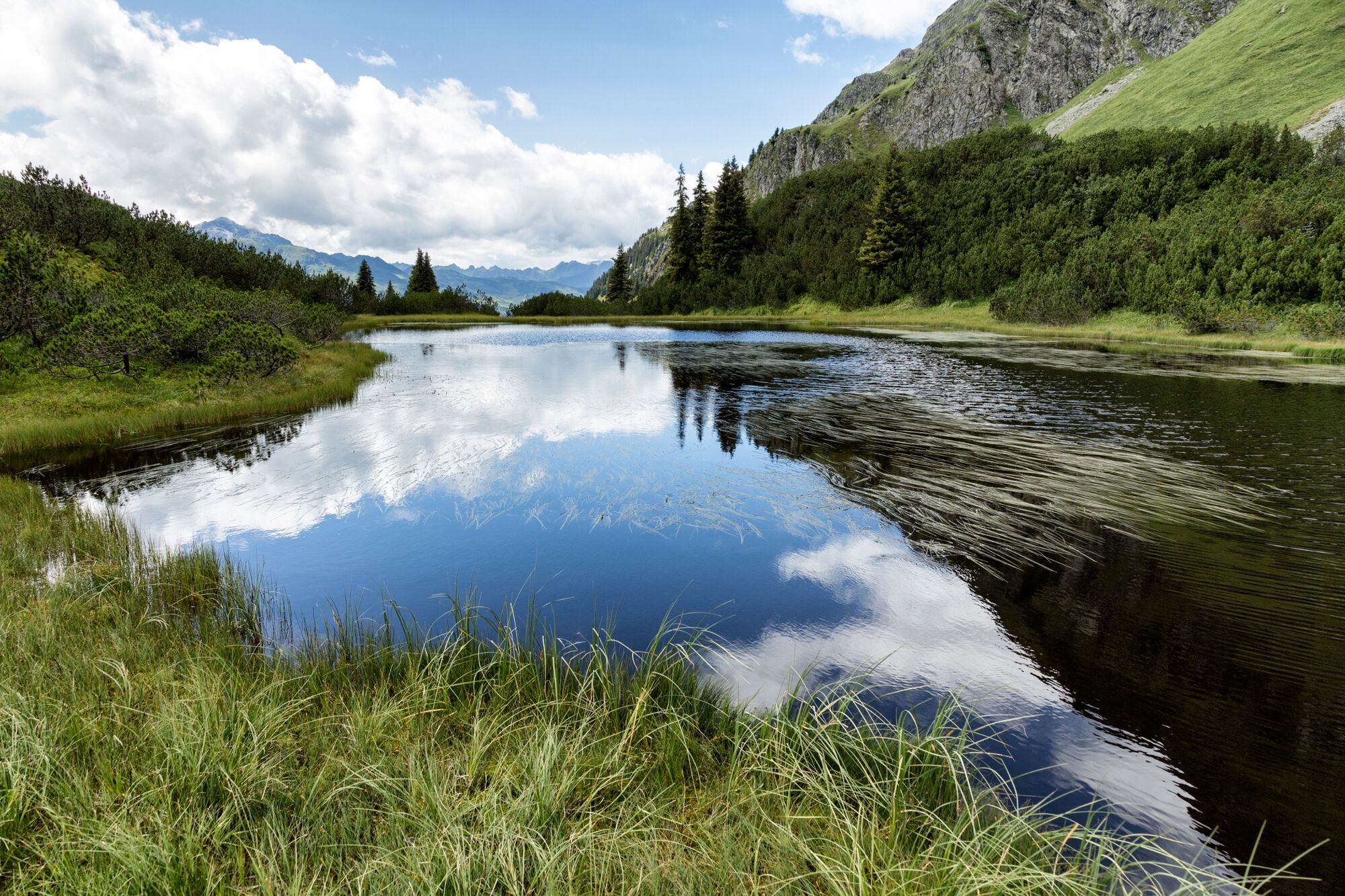
The scenic trail - from Lake Wiegensee to Verbellaalpe and through Ganifer Valley to Partenen

Sentiero tematico


- Descrizione rapida
-
Summit station Tafamunt cable car- Lake Wiegensee - Verbellaalpe - Ganifer Valley - Partenen
- Difficoltà
-
intermedio
- Valutazione
-
- Percorso
-
InnertafamuntAlpstöbli Tafamunt0,0 kmPfarrkirche Partenen12,2 kmPartenen (1.051 m)12,4 km
- La stagione migliore
-
genfebmaraprmaggiulugagosetottnovdic
- Punto più alto
- 1.937 m
- Destinazione
-
Valley station Tafamunt cable car, Partenen
- Profilo altimetrico
-


-

-
AutoreIl tour The scenic trail - from Lake Wiegensee to Verbellaalpe and through Ganifer Valley to Partenen è utilizzato da outdooractive.com fornito.
GPS Downloads


Info generali
Punto di ristoro
Suggerimento
Flora
Fauna
Promettente
Altri tour nelle regioni
-
Montafon
1382
-
Gaschurn - Partenen
355