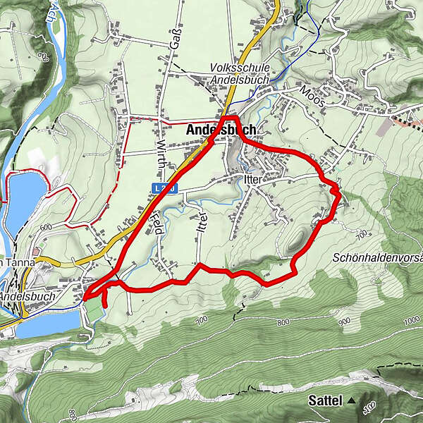
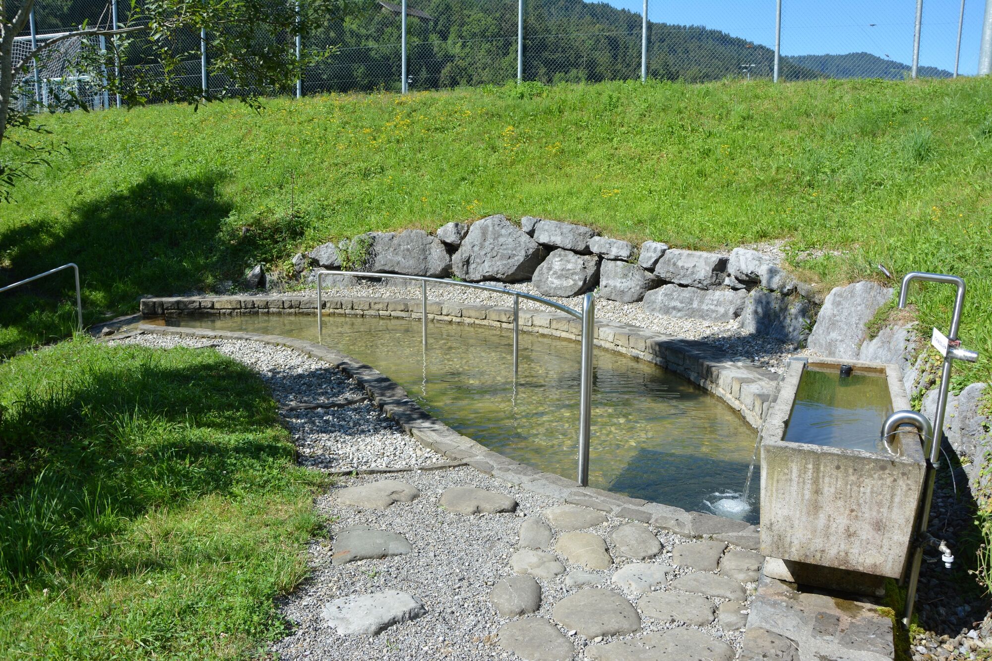
Andelsbuch | Wege zum Wasser - Kneipp-Wassertretanlage

Sentiero tematico

© Andelsbuch Tourismus - Renja Metzler

- Descrizione rapida
-
Ortszentrum - Parzelle Grunholz - Krähenberg - Unterbezegg - Mühle - Kneipp-Wassertretanlage - Dorfmitte
- Difficoltà
-
facile
- Valutazione
-
- Percorso
-
Unterbezegg1,3 kmPfarrkirche Andelsbuch4,4 kmAndelsbuch4,6 km
- La stagione migliore
-
genfebmaraprmaggiulugagosetottnovdic
- Punto più alto
- 678 m
- Destinazione
-
Ortszentrum
- Profilo altimetrico
-

- Autore
-
Il tour Andelsbuch | Wege zum Wasser - Kneipp-Wassertretanlage è utilizzato da outdooractive.com fornito.
GPS Downloads


Info generali
Punto di ristoro
Culturale/Storico
Promettente
Altri tour nelle regioni
-
St. Gallen - Bodensee
2065
-
Bregenzerwald
2295
-
Andelsbuch
669