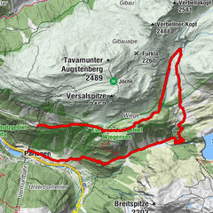
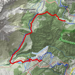
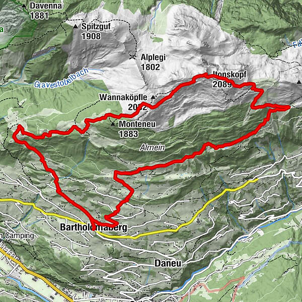
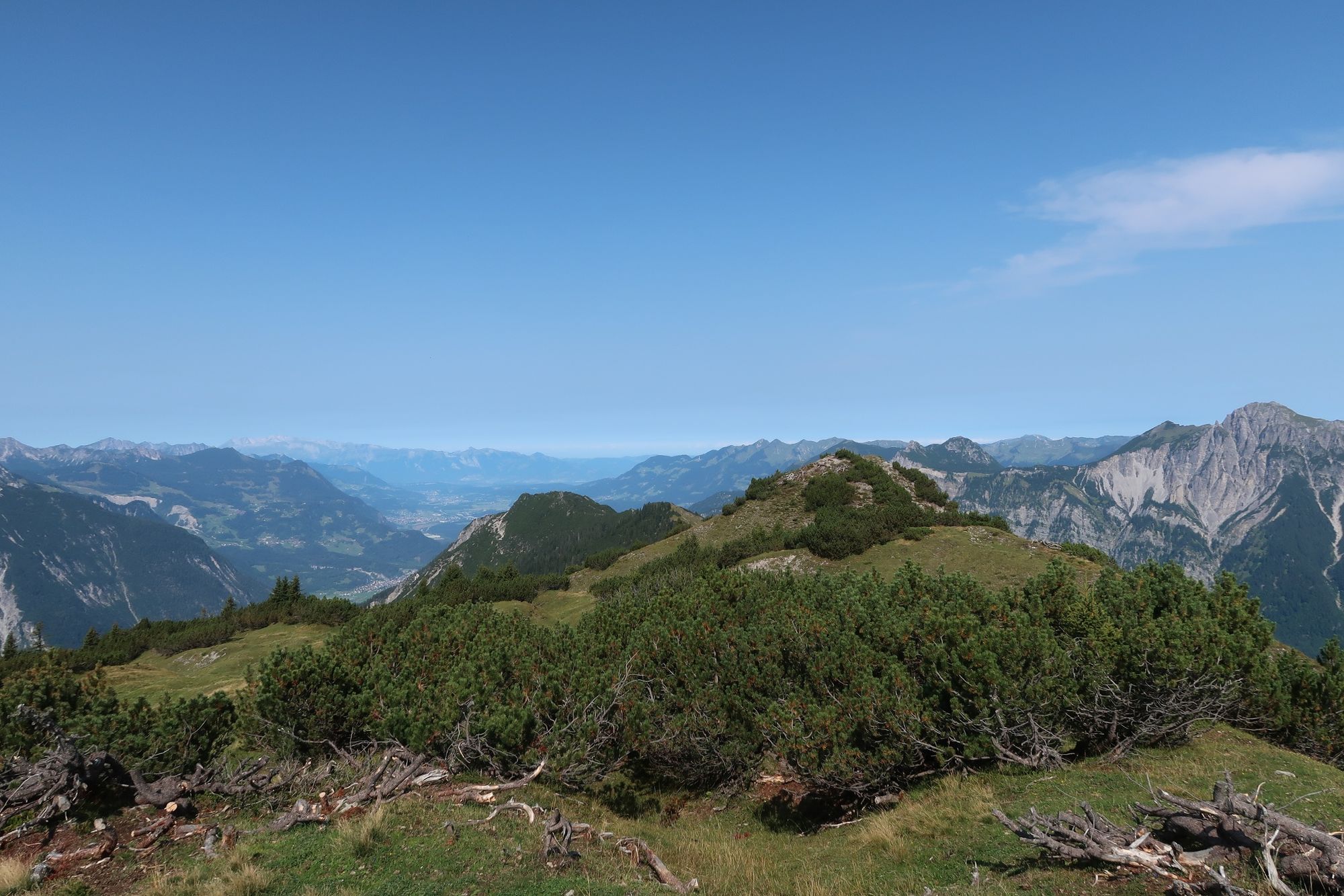
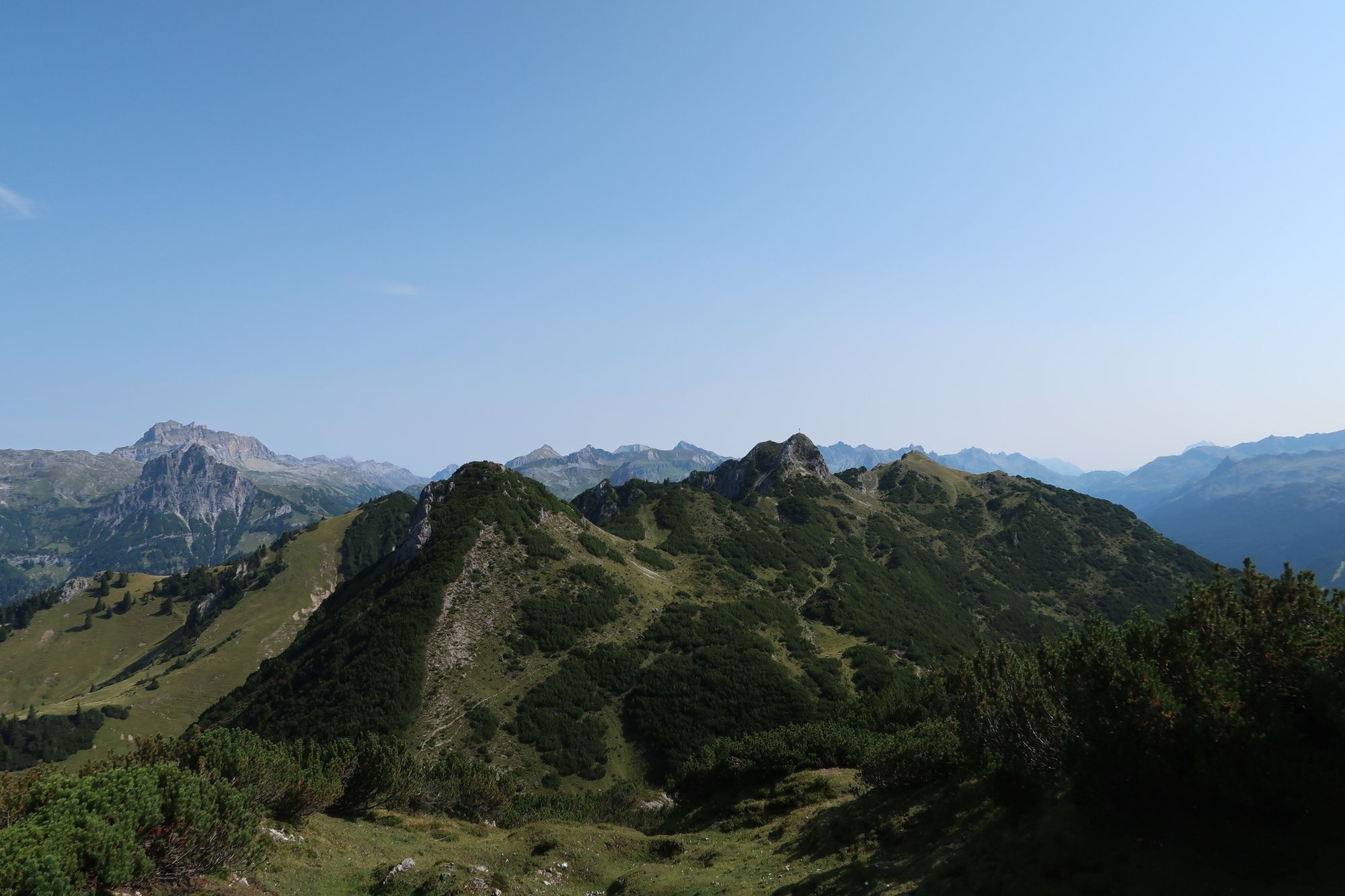
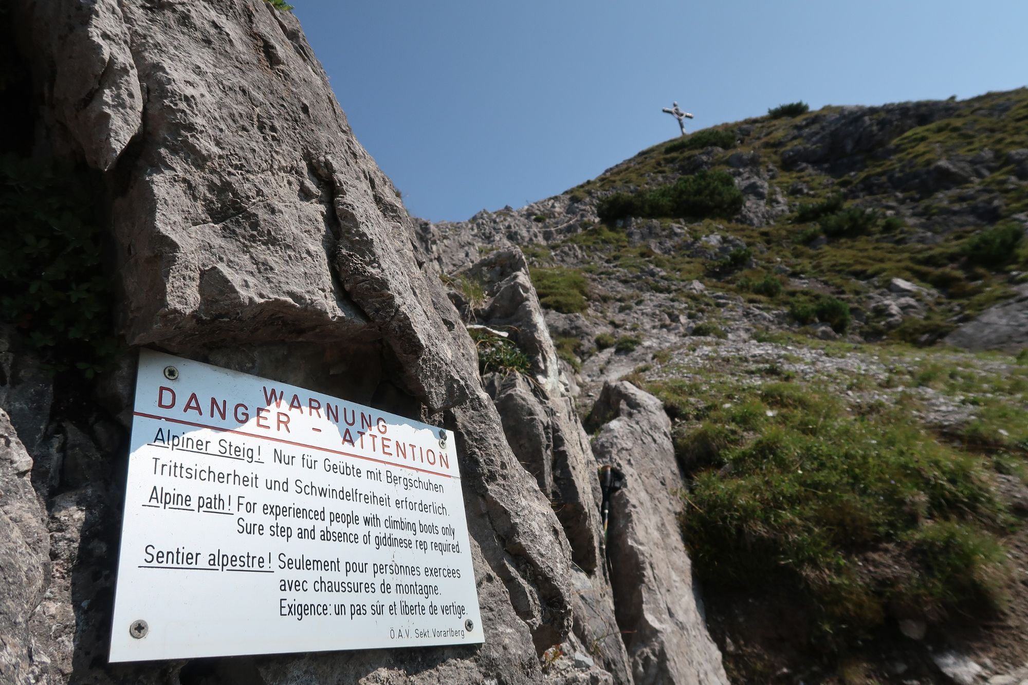
Übers Rellseck auf den Itonskopf (2089 m)

Sentiero tematico


- Descrizione rapida
-
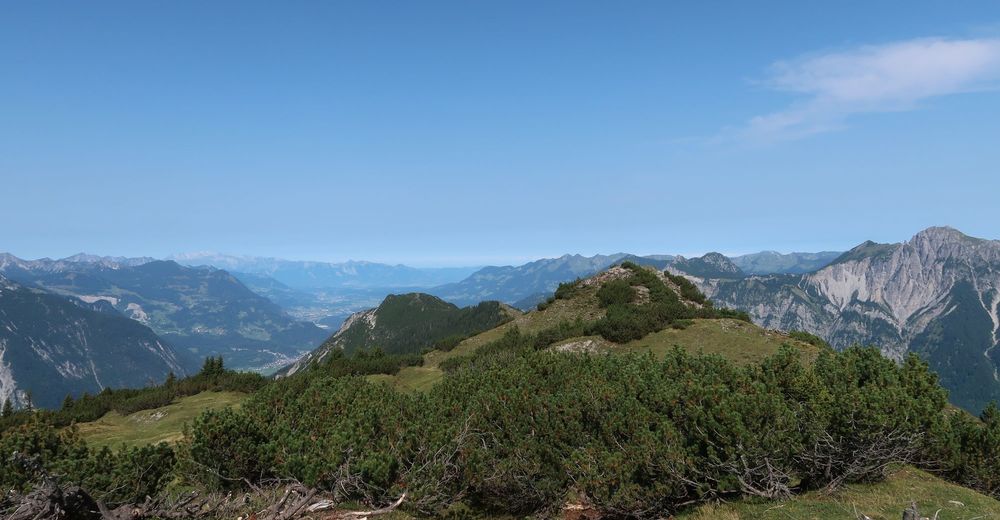
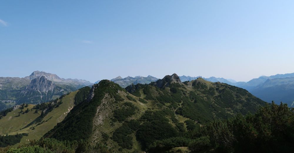
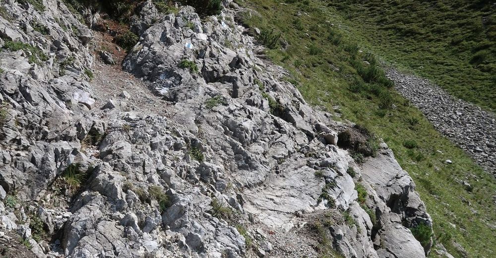
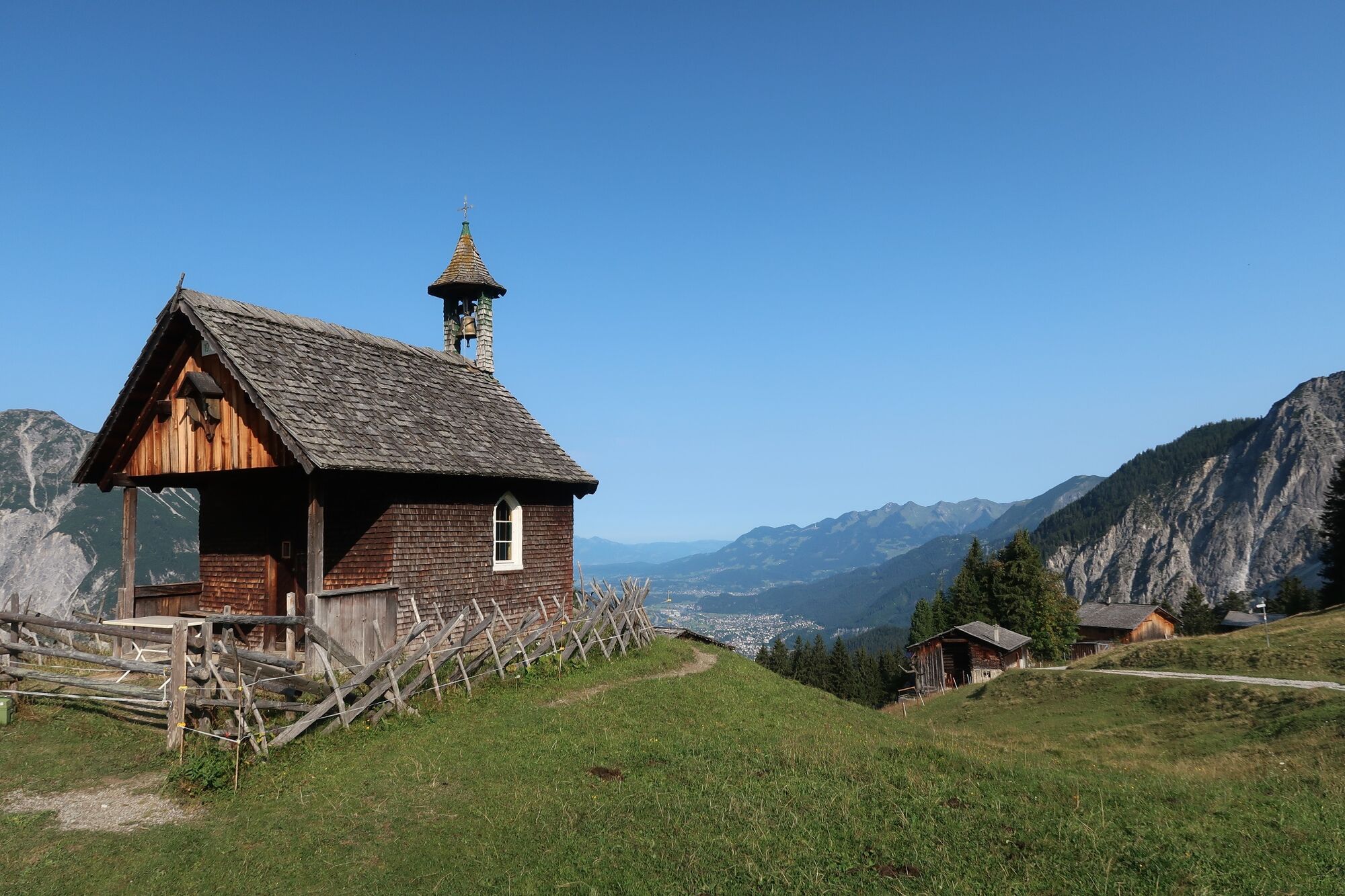
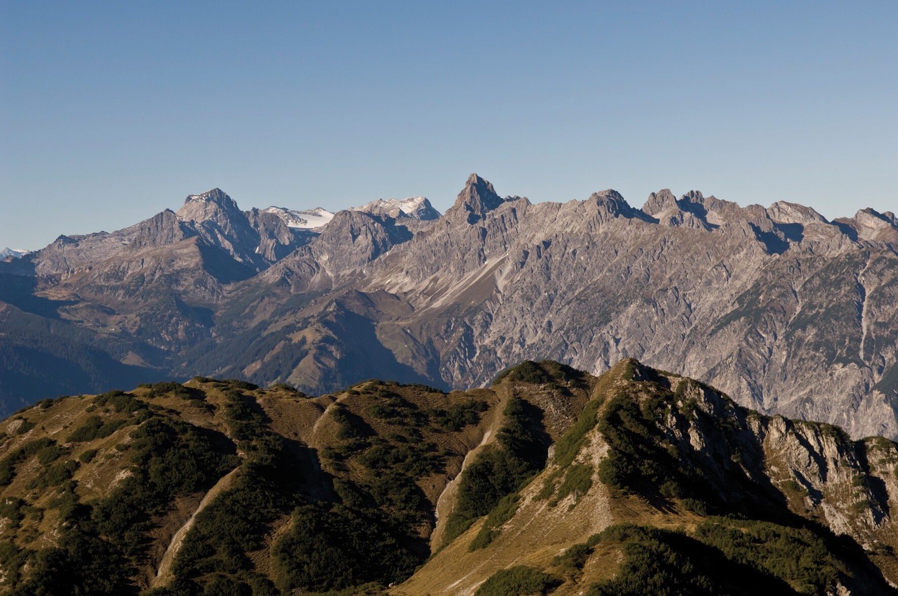
Der Weg lässt Wanderer über den Dingen schweben, landschaftlich wie gedanklich. Von Bartholomäberg geht es durch die Kulturlandschaft des Bergbaus hinauf zum Rellseck und weiter Richtung Wannaköpf bis zum aussichtsreichen Gipfel des Itonskopfs. Von dort wandert man zum Fritzensee und anschließend auf dem Bergbauweg wieder bergab.
- Difficoltà
-
difficile
- Valutazione
-
- Percorso
-
BartholomäbergPfarrkirche BartholomäbergGasthof Rellseck2,9 kmItonskopf (2.089 m)7,0 kmGarsella12,6 kmPfarrkirche Bartholomäberg15,4 kmBartholomäberg15,4 km
- La stagione migliore
-
genfebmaraprmaggiulugagosetottnovdic
- Punto più alto
- 2.065 m
- Destinazione
-
Bartholomäberg, Barockkirche
- Profilo altimetrico
-


-

-
AutoreIl tour Übers Rellseck auf den Itonskopf (2089 m) è utilizzato da outdooractive.com fornito.
GPS Downloads


Info generali
Punto di ristoro
Culturale/Storico
Promettente
Altri tour nelle regioni
-
Montafon
1380
-
Bartholomäberg
532