Dati percorsi
12,06km
1.202
- 2.203m
1.182hm
1.223hm
03:24h
- Descrizione rapida
-
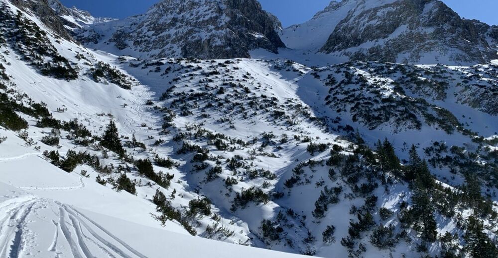
Steile großzügige Hänge, aber ohne Gipfel. Aufstieg entlang des Sommerweges über eine Steilstufe, die sich allerdings wunderbar auflöst.
- Difficoltà
-
intermedio
- Valutazione
-
- Percorso
-
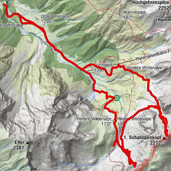
Untere Wiesalpe0,2 kmWildental3,2 kmFluchtalpe10,1 km
- Punto più alto
- 2.203 m

GPS Downloads


Altri tour nelle regioni