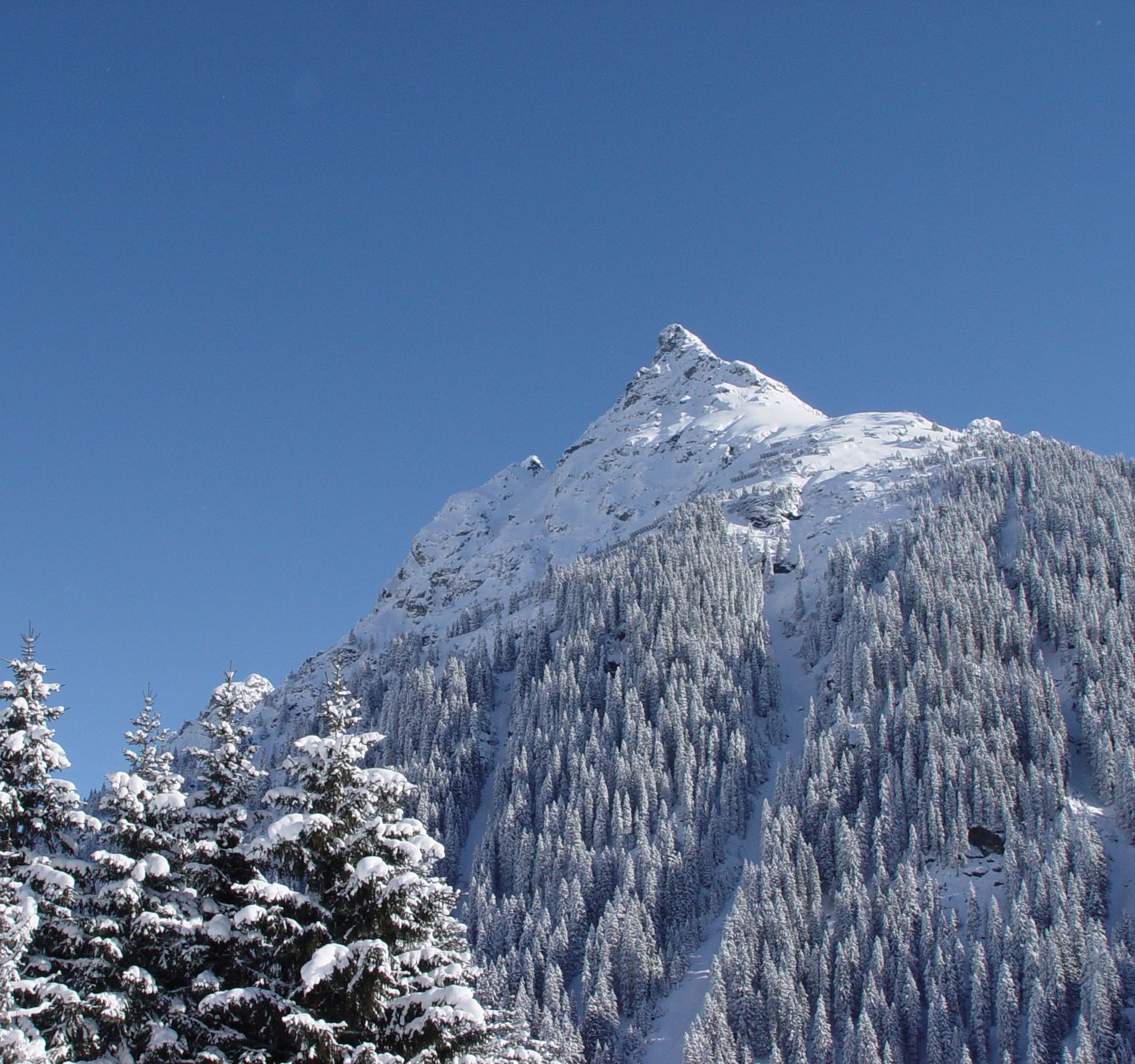
© Montafon Tourismus GmbH, Gargellen Tourismus - Christina Wachter

© Montafon - Markus Fessler-Jenny

- Descrizione rapida
-
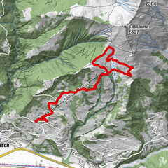
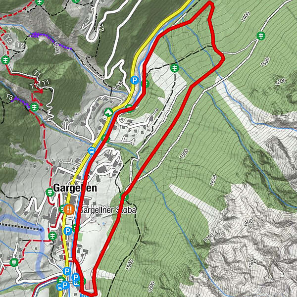
Talstation Bergbahnen Gargellen – talauswärts am Suggadin entlang – Borstboden – oberhalb Haus Sursilva – Talstation Bergbahnen Gargellen
- Difficoltà
-
intermedio
- Valutazione
-
- Percorso
-
Gargellner Stoba0,3 kmGargellen0,5 km
- La stagione migliore
-
agosetottnovdicgenfebmaraprmaggiulug
- Punto più alto
- 1.466 m
- Destinazione
-
Ortsmitte Gargellen
- Profilo altimetrico
-


-

-
AutoreIl tour Gargellen Forstweg Schmalzberg è utilizzato da outdooractive.com fornito.
GPS Downloads


Info generali
Punto di ristoro
Promettente
Altri tour nelle regioni