© Bergbahnen Diedamskopf

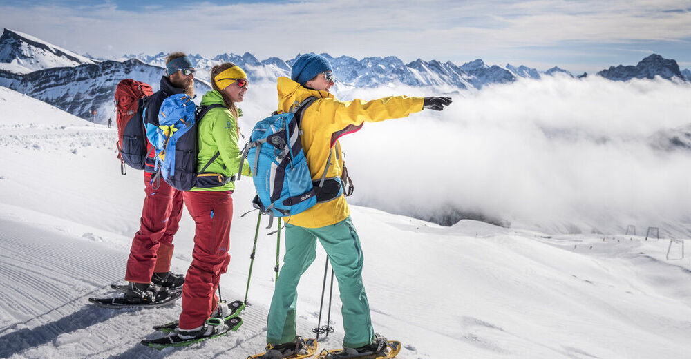
© Bergbahnen Diedamskopf

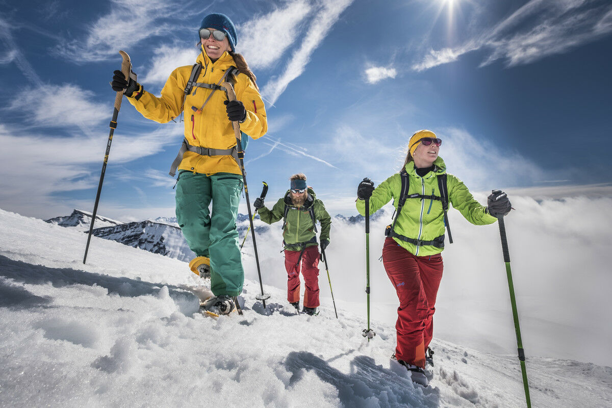
© Bergbahnen Diedamskopf

© Au-Schoppernau Tourismus - Monika Albrecht

- Descrizione rapida
-
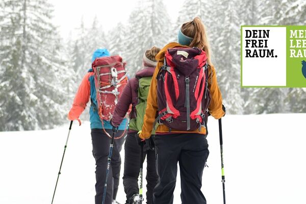
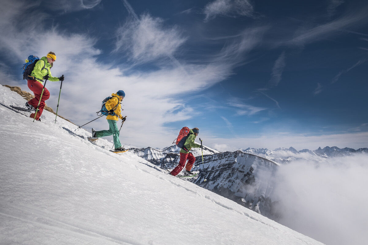
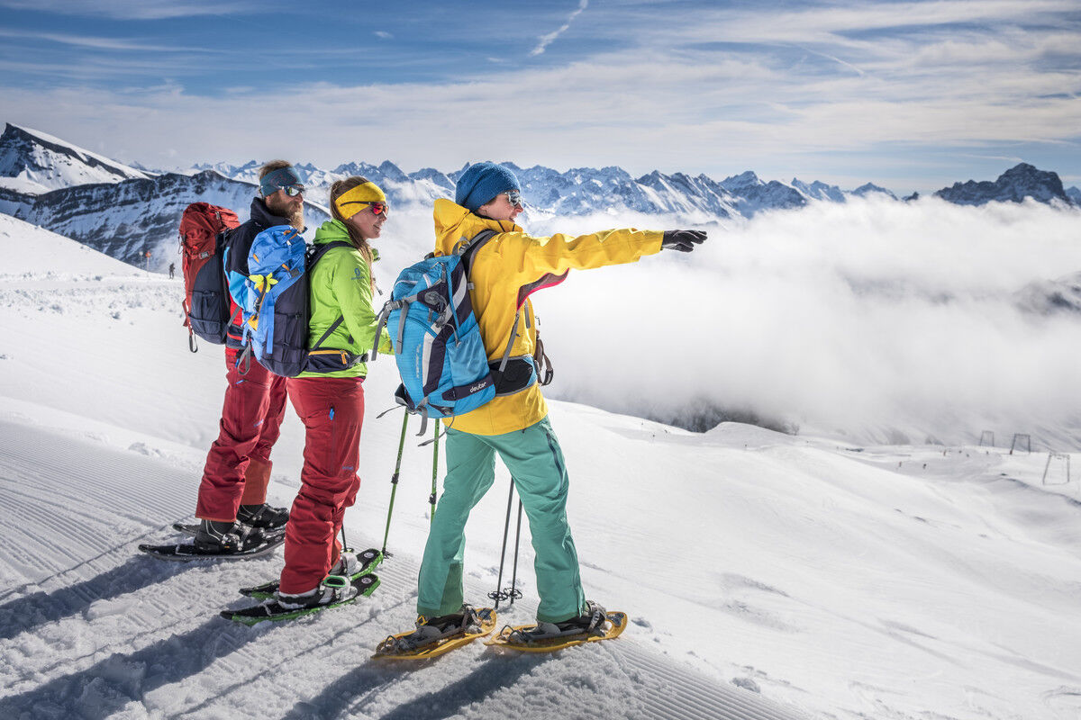
Herrliche Schneeschuhwanderung mit Liftbenützung und traumhaftem Panorama.
- Difficoltà
-
intermedio
- Valutazione
-
- Percorso
-
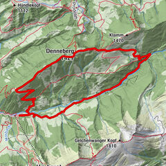
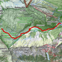
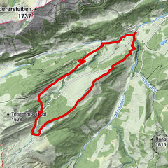
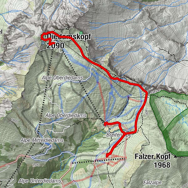
Panoramarestaurant0,0 kmDiedamskopf (2.090 m)0,3 kmPanoramabahn0,4 kmBreitenalpe3,2 kmPanoramabahn4,1 km
- La stagione migliore
-
agosetottnovdicgenfebmaraprmaggiulug
- Punto più alto
- 2.077 m
- Destinazione
-
Talstation der Bergbahnen Diedamskopf
- Profilo altimetrico
-


-

-
AutoreIl tour Schneeschuhwandern am Diedamskopf è utilizzato da outdooractive.com fornito.
GPS Downloads


Info generali
Promettente
Altri tour nelle regioni
-
Bregenzerwald
56
-
Diedamskopf
8