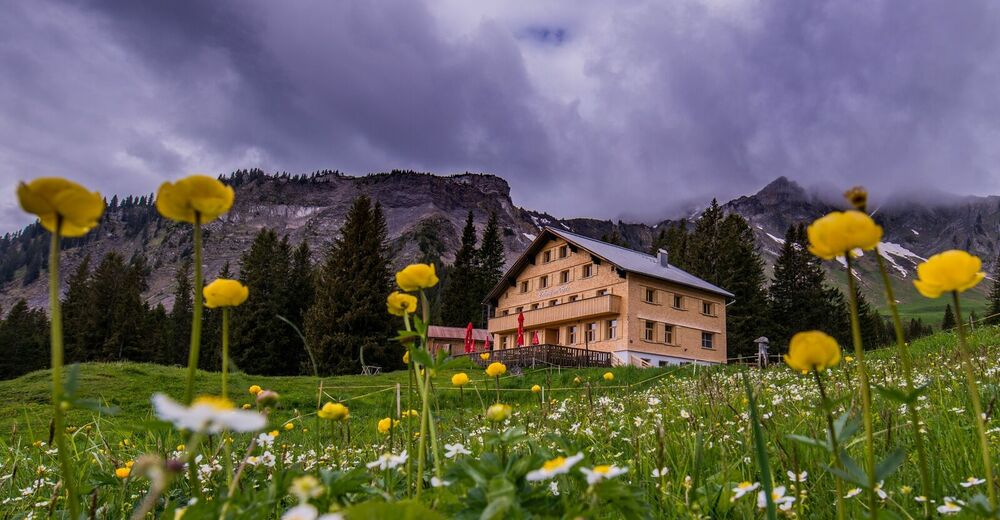
© Damüls Faschina Tourismus - Fred Böhringer


- Descrizione rapida
-
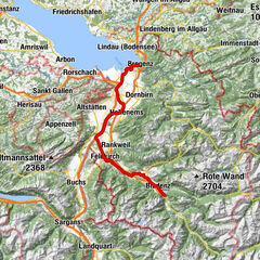
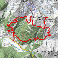
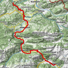
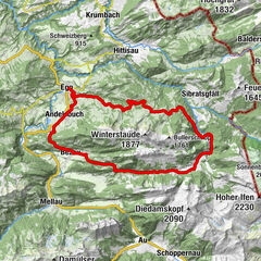
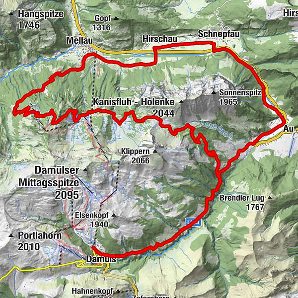
Talstation Uga-Express - Au - Mellaubahn Talstation - Alpe Suttis - Wildguntenalpe - Rossstelle - Alpe Kanis - Berggasthaus Edelweiß - Damüls
- Difficoltà
-
intermedio
- Valutazione
-
- Percorso
-
Damüls (1.423 m)0,4 kmBerghotel Madlener0,5 kmDreihäuser1,6 kmUntertobel3,3 kmAu (800 m)9,5 kmSchnepfau13,9 kmHirschau15,7 kmEnge16,8 kmTanna18,1 kmHinterbündt18,9 kmOberfeld18,9 kmKapelle Oberfeld19,1 kmPrinzwies19,5 kmSchönboden20,6 kmAlphof Rossstelle28,8 kmBergrestaurant Simma28,8 kmRoßstelle28,9 kmJausenstation Wurzachalpe32,0 kmWurzach32,0 kmJausestation Obere Alpe32,8 kmAlpengasthof Edelweiss33,8 kmUntertobel40,8 kmDreihäuser42,6 kmBerghotel Madlener43,6 kmDamüls (1.423 m)43,9 km
- La stagione migliore
-
genfebmaraprmaggiulugagosetottnovdic
- Punto più alto
- 1.638 m
- Destinazione
-
Talstation Uga-Express
- Profilo altimetrico
-

-

-
AutoreIl tour Damüls | Rundtour um die Kanisfluh è utilizzato da outdooractive.com fornito.
GPS Downloads


Info generali
Punto di ristoro
Flora
Promettente
Altri tour nelle regioni