© Alpenregion Bludenz Tourismus GmbH - Gregor Kreuzer

© Alpenregion Bludenz Tourismus GmbH - Gregor Kreuzer

© Alpenregion Bludenz Tourismus GmbH - Gregor Kreuzer

© Alpenregion Bludenz Tourismus GmbH - Gregor Kreuzer

© Alpenregion Bludenz Tourismus GmbH - Gregor Kreuzer

© Alpenregion Bludenz Tourismus GmbH - Gregor Kreuzer

© Alpenregion Bludenz Tourismus GmbH - Gregor Kreuzer
- Descrizione rapida
-
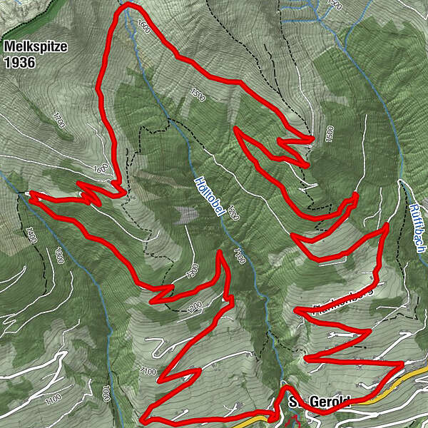
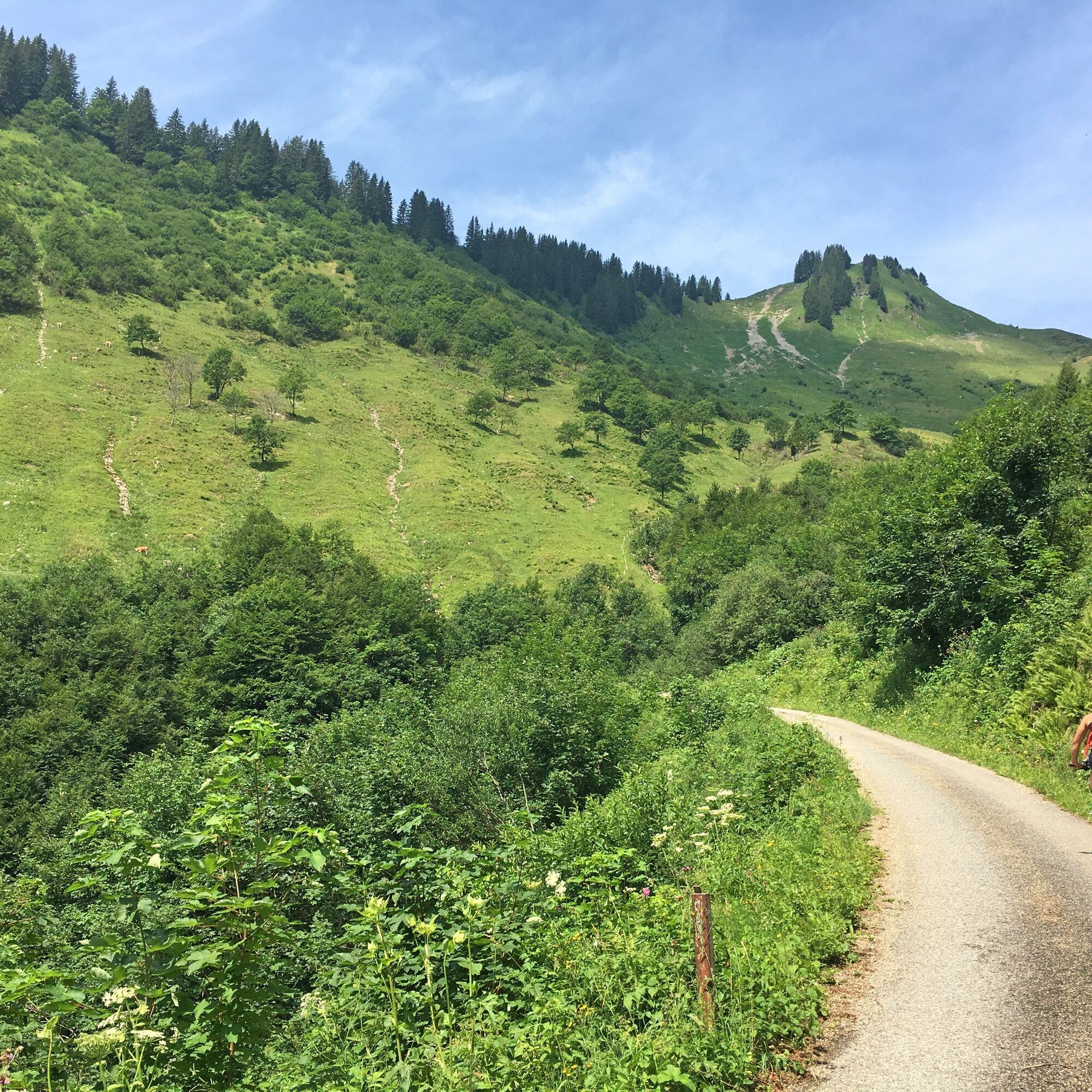
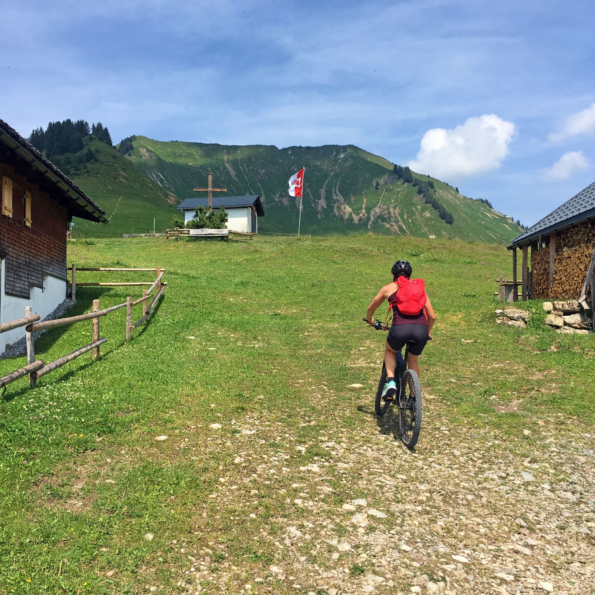
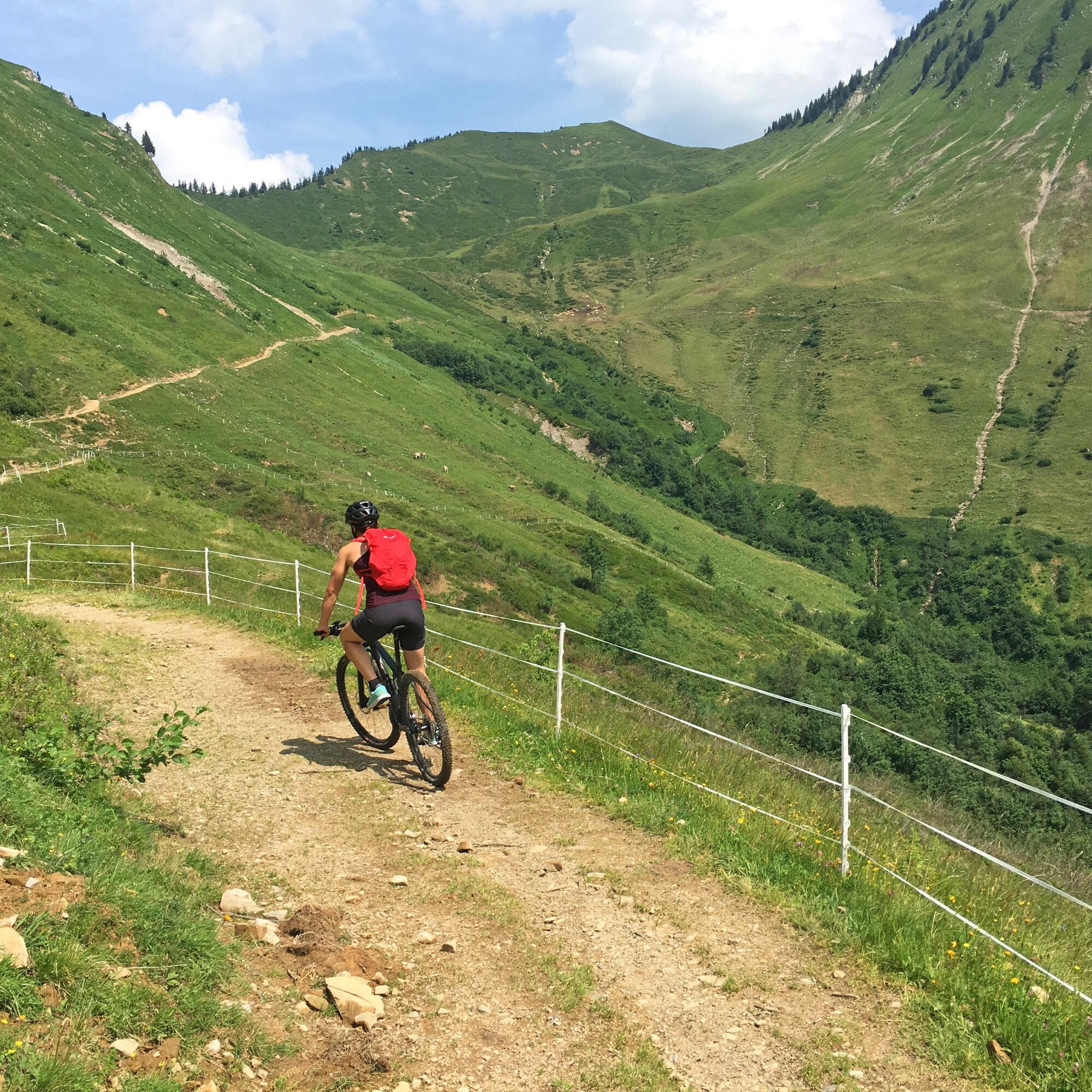
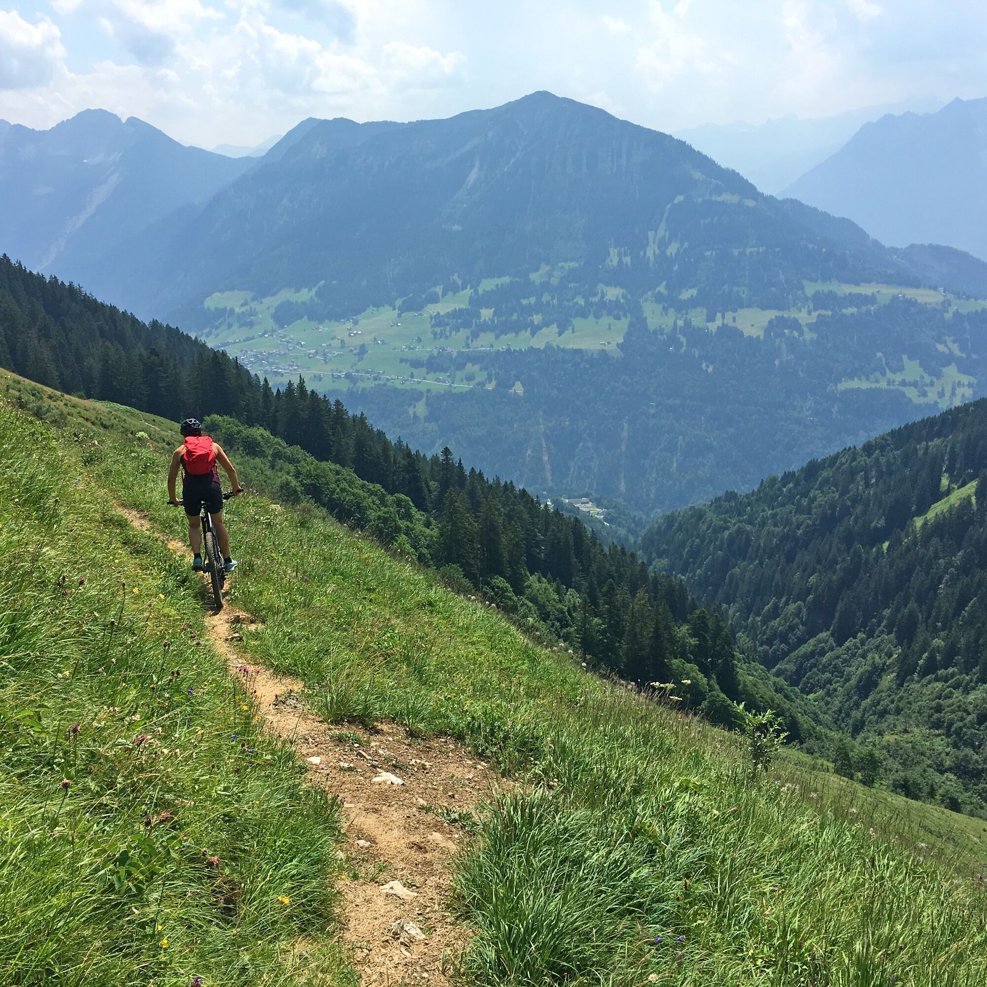
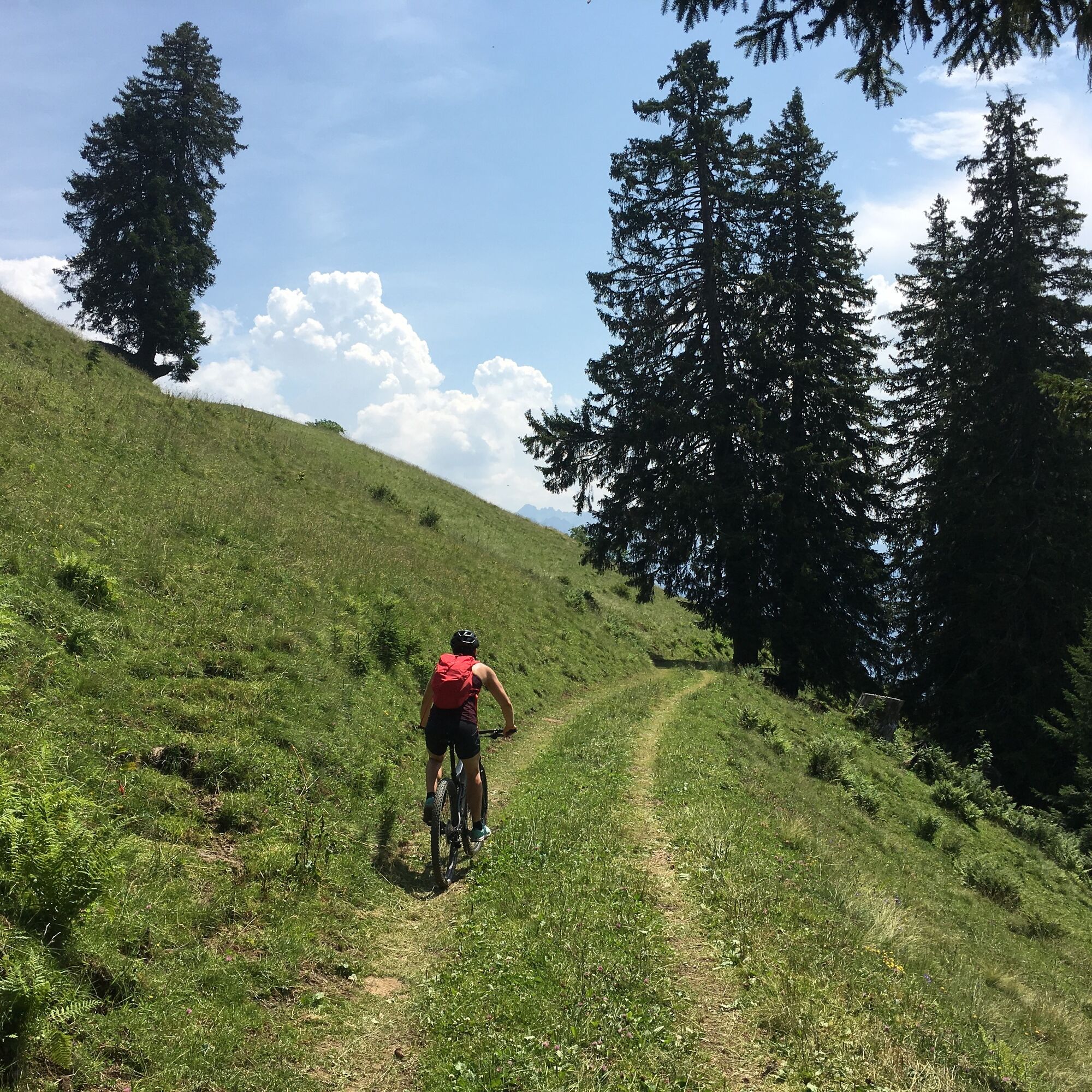
Panoramic mountain bike tour past the Gaßner Alpe and the Plansott Alpe in the Großes Walsertal Biosphere Reserve.
- Difficoltà
-
intermedio
- Valutazione
-
- Percorso
-
St. Gerold0,1 kmGaßnerberg2,5 kmGaßneralpe6,7 kmPlazgadena7,8 kmPlansottalpe (1.558 m)9,2 kmBündten (1.312 m)11,8 kmPlankenberg14,2 kmSt. Gerold15,7 km
- La stagione migliore
-
genfebmaraprmaggiulugagosetottnovdic
- Punto più alto
- 1.631 m
- Destinazione
-
Community centre, St. Gerold
- Profilo altimetrico
-


- Autore
-
Il tour 2-Alps-Tour | St. Gerold è utilizzato da outdooractive.com fornito.
GPS Downloads


Percorsi
Trial
Info generali
Promettente
Altri tour nelle regioni
")