© Montafon Tourismus - Andreas Haller

© Montafon Tourismus GmbH_Stefan Kothner - Christina Wachter

© Montafon - Stefan Kothner

© Montafon Tourismus GmbH - Stefan Kothner

© Montafon - Roland Fritsch

© Montafon Tourismus GmbH - Andreas Haller

© Montafon Tourismus GmbH_Christina Wachter - Christina Wachter

© Montafon - Christina Wachter

© Montafon - Christina Wachter

© Montafon - Andreas Haller

- Descrizione rapida
-
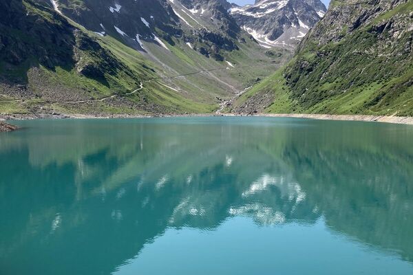
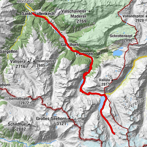
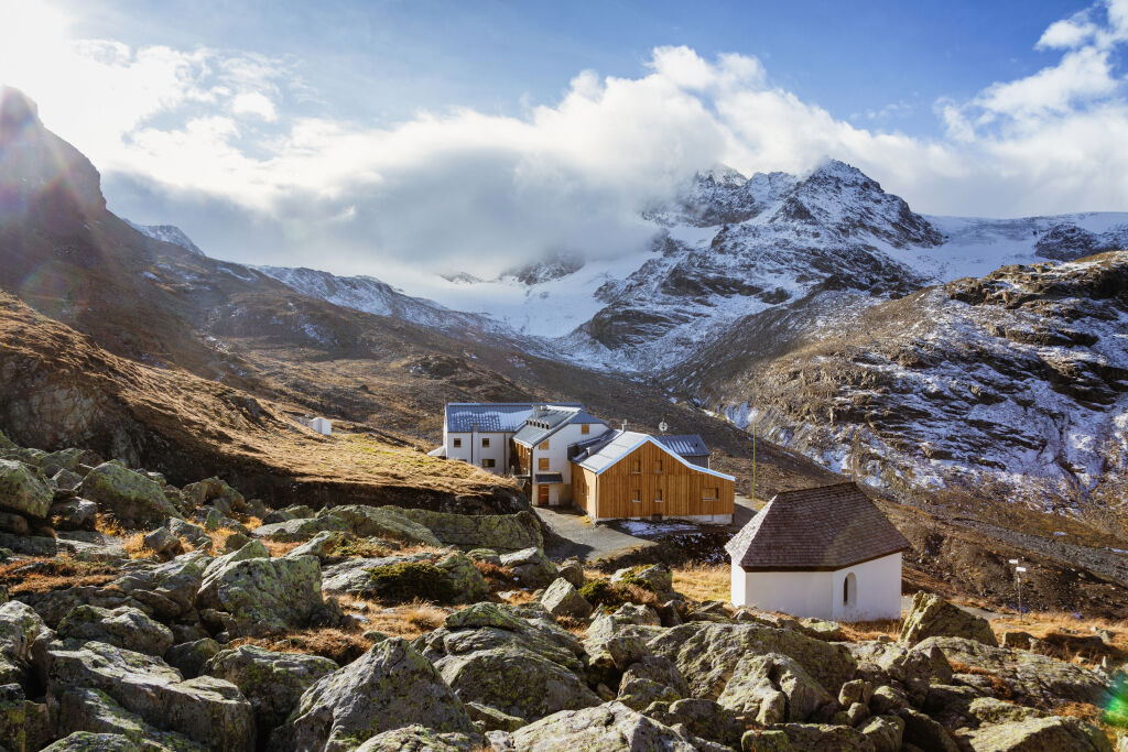
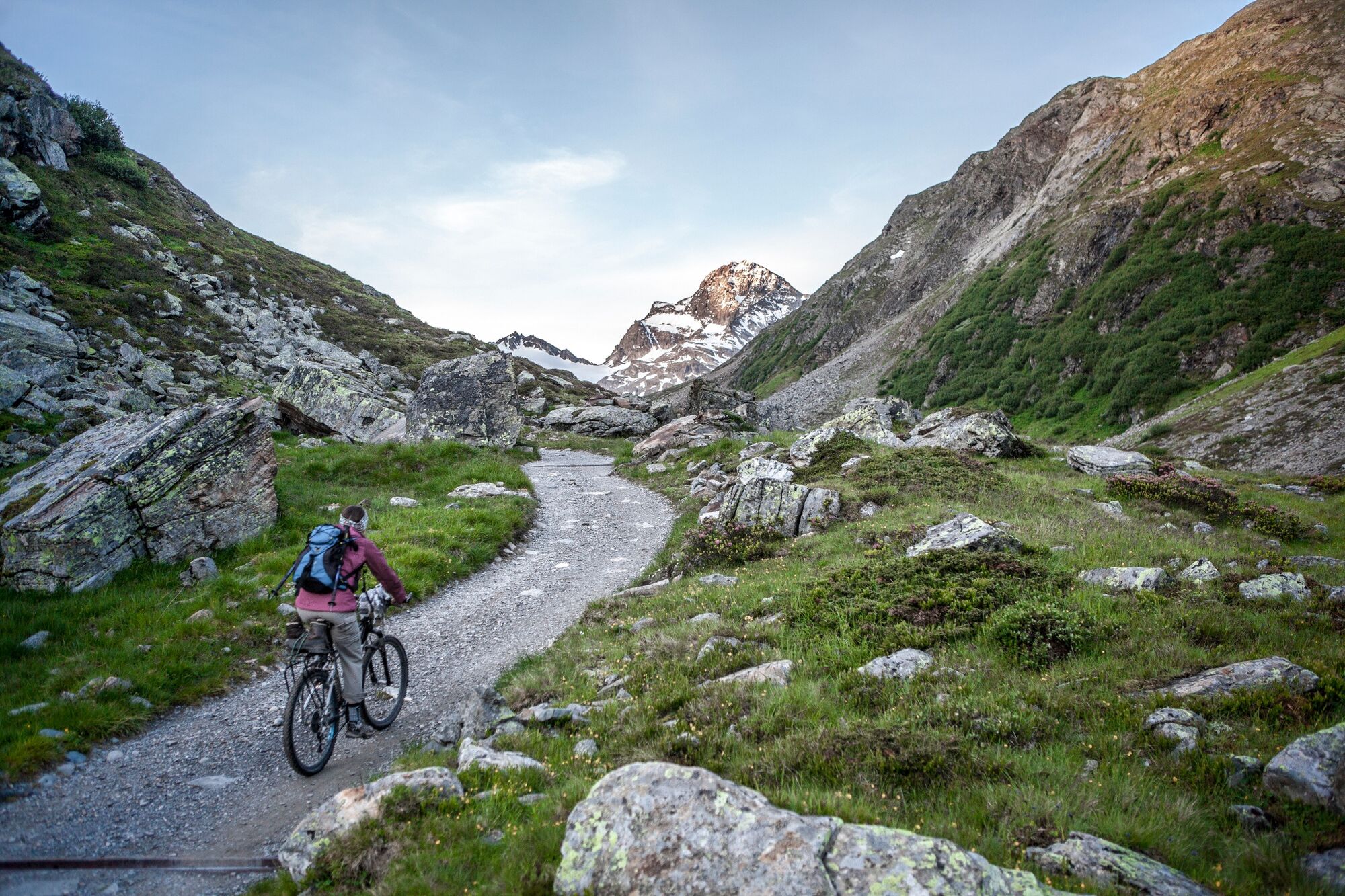
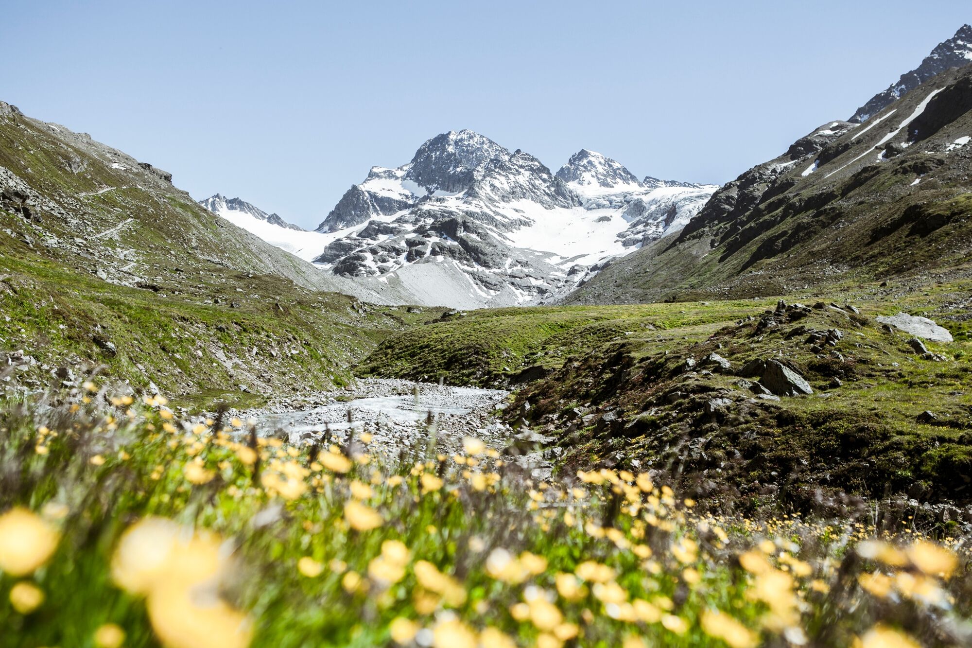
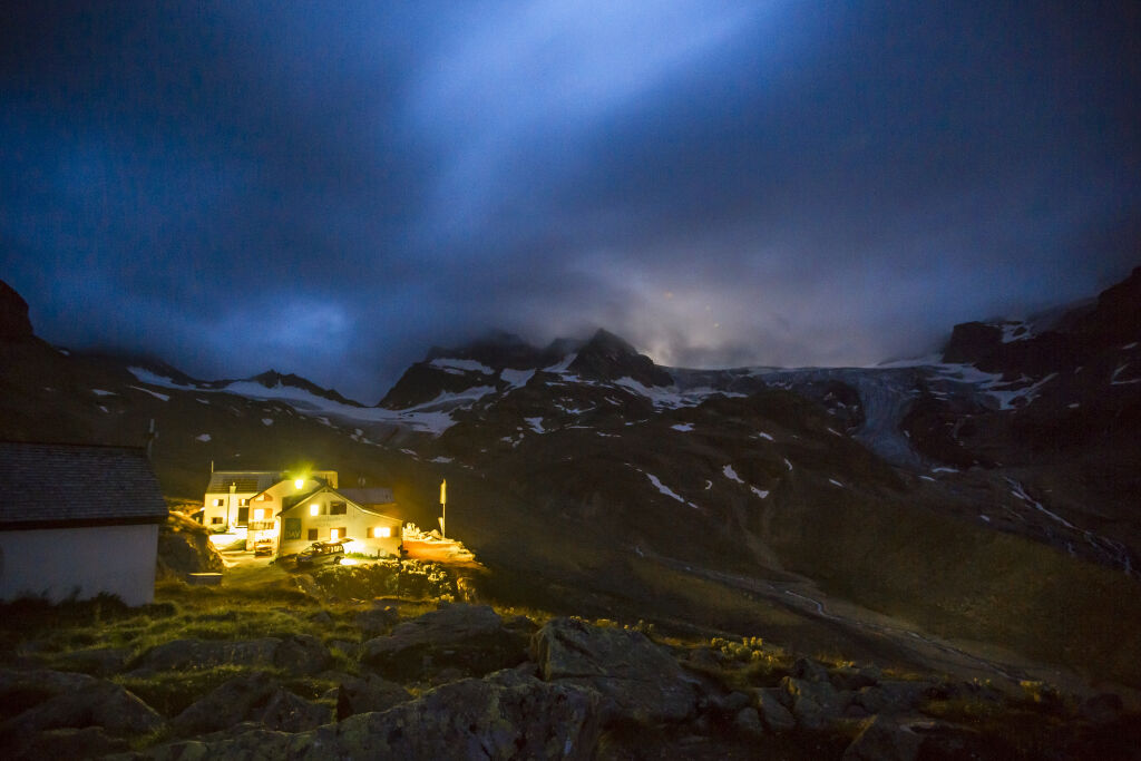
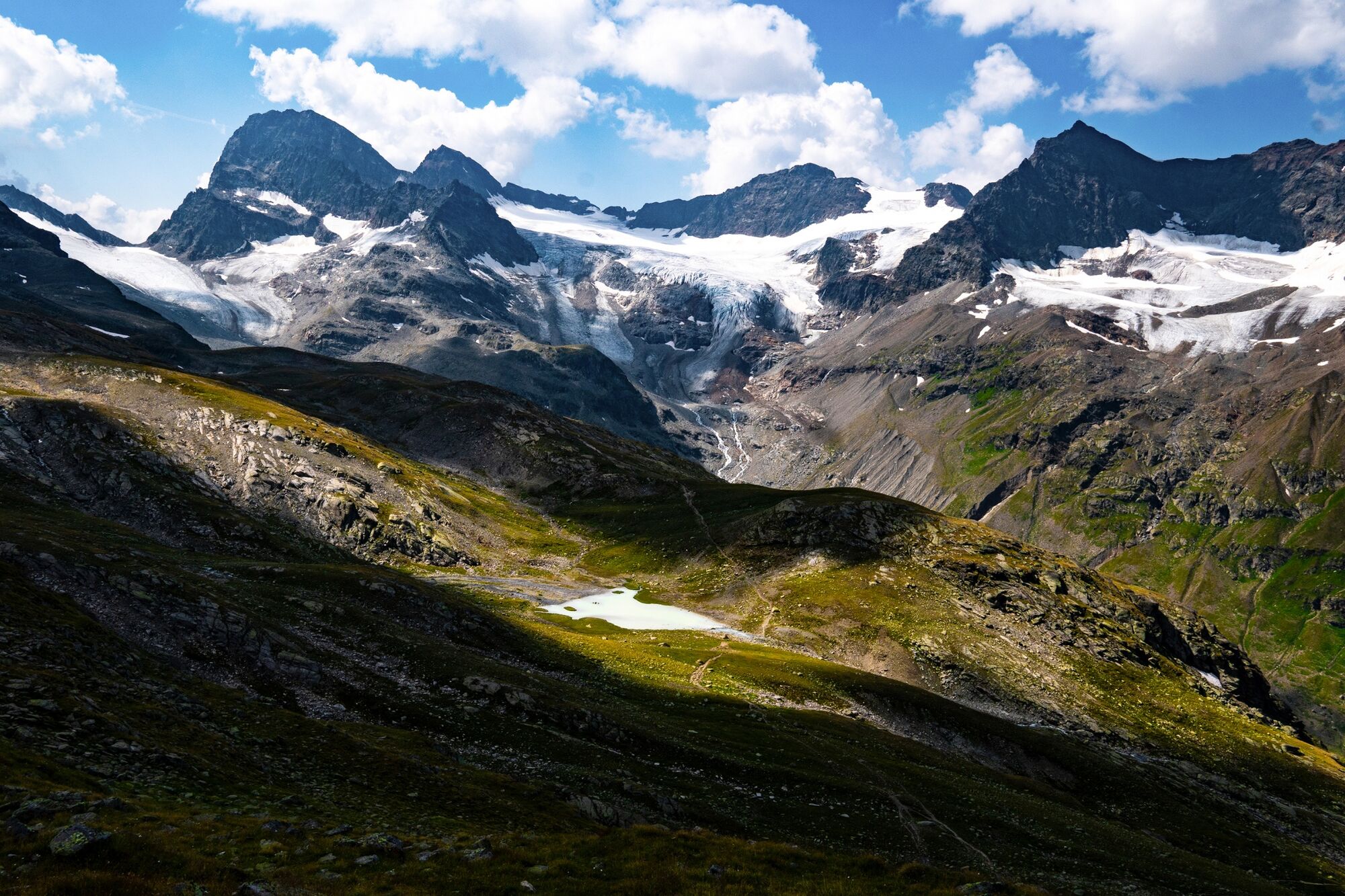
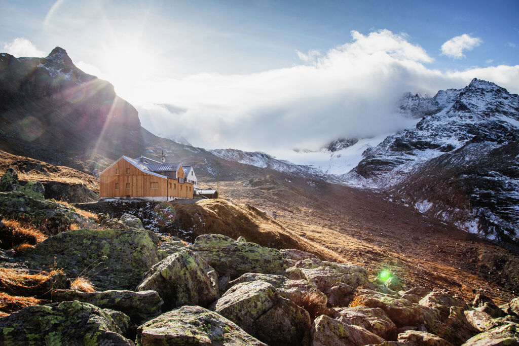
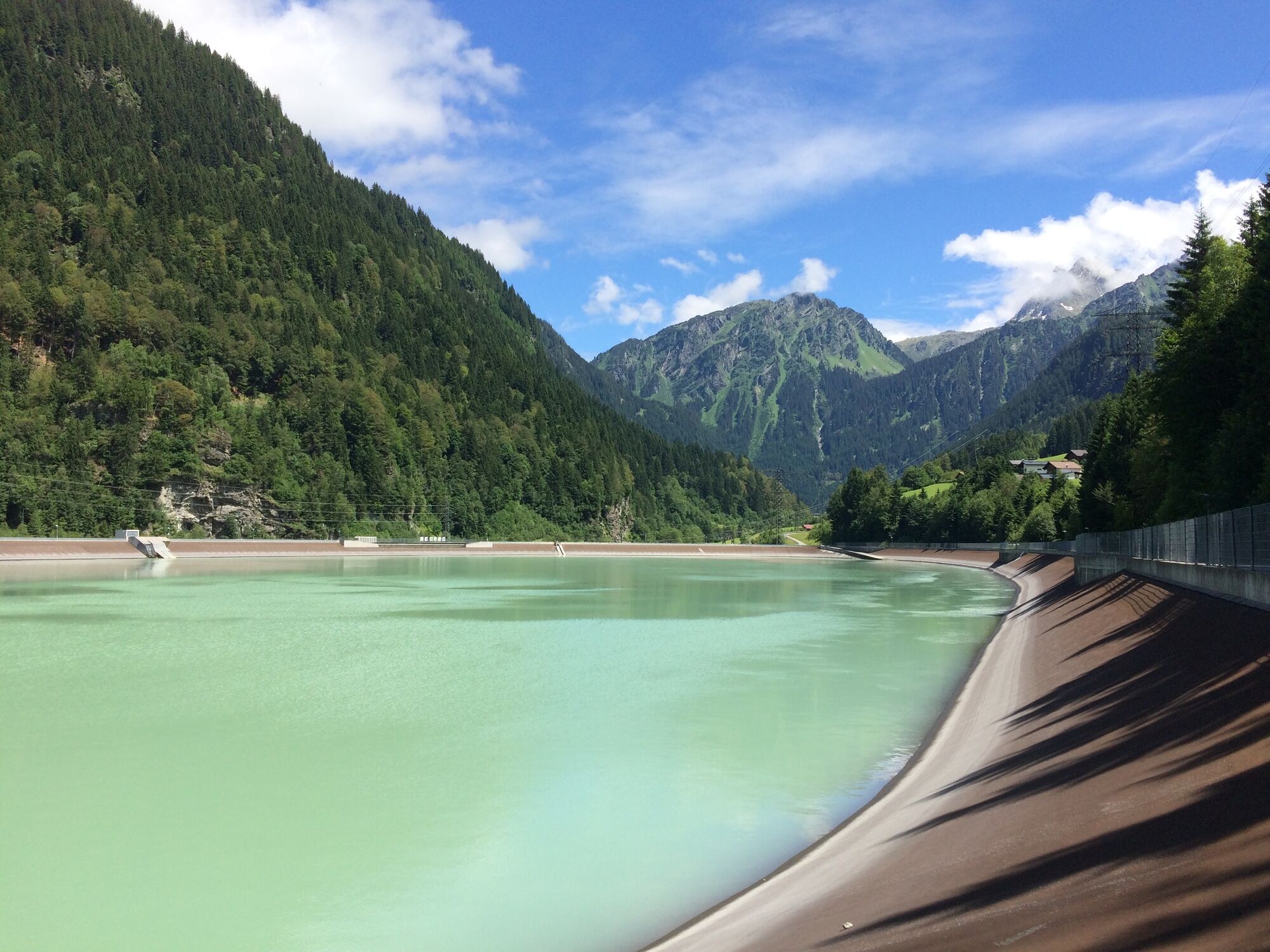
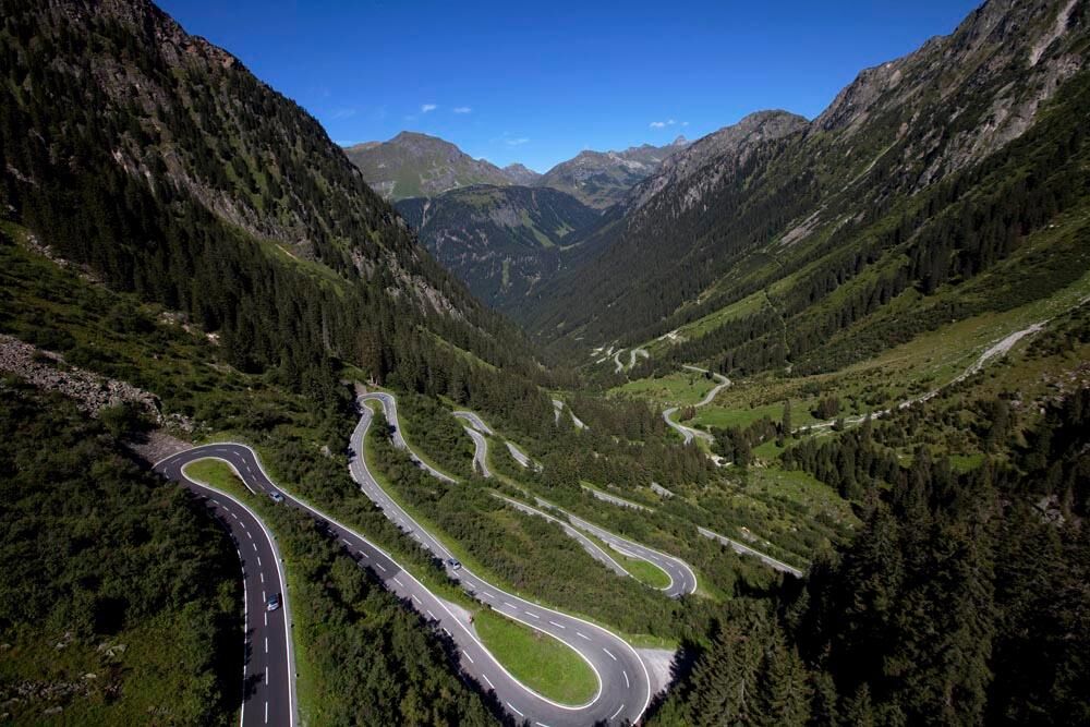
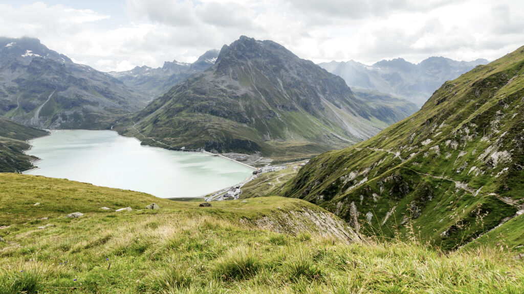
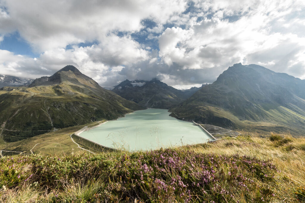
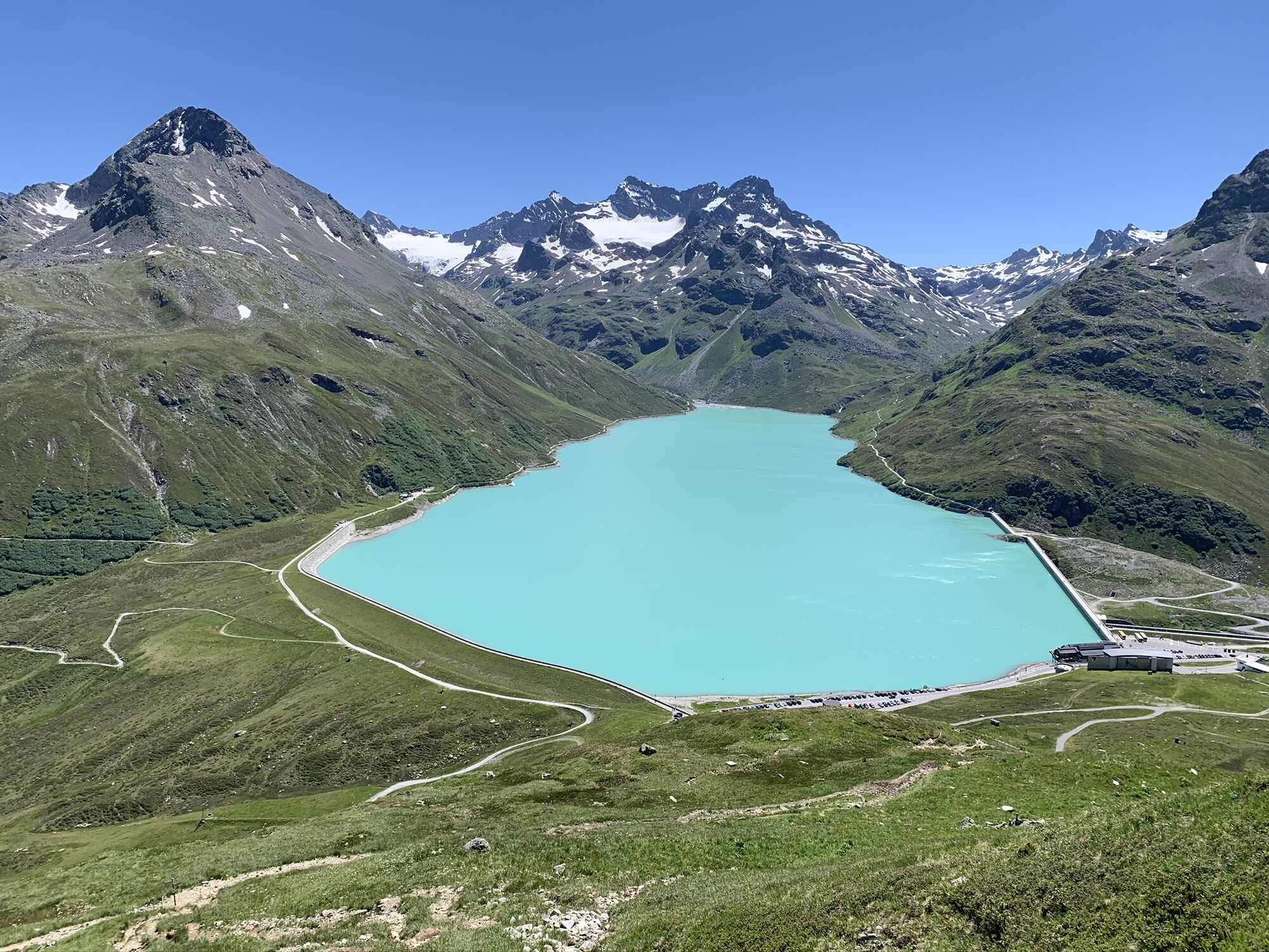
Talstation Versettla Bahn Gaschurn – Partenen – Silvretta-Hochalpenstraße – Silvretta-Bielerhöhe (Silvrettasee) – Ochsental – Wiesbadener Hütte – auf gleichem Weg retour
- Difficoltà
-
difficile
- Valutazione
-
- Percorso
-
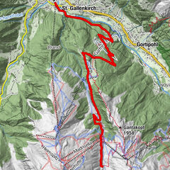
GalgenulSt. Gallenkirch0,7 kmGarfrescha I (872 m)2,2 kmGortipohl3,3 kmBeacheria5,2 kmGaschurn7,0 kmPartenen (1.051 m)10,4 kmPfarrkirche Partenen10,6 kmAlpe Vermunt24,2 kmSilvretta-Haus25,3 kmRestaurant Silvrettasee25,3 kmBerggasthof Piz Buin25,6 kmMarienkapelle32,5 kmWiesbadener Hütte32,7 kmBerggasthof Piz Buin39,7 kmRestaurant Silvrettasee39,9 kmSilvretta-Haus40,0 kmAlpe Vermunt40,7 kmPfarrkirche Partenen54,4 kmPartenen (1.051 m)54,6 kmGaschurn58,1 kmPfarrkirche St. Micheal58,8 kmBeacheria59,9 kmGortipohl62,0 kmGarfrescha I (872 m)63,2 kmSt. Gallenkirch64,4 kmGalgenul65,4 km
- La stagione migliore
-
genfebmaraprmaggiulugagosetottnovdic
- Punto più alto
- 2.444 m
- Destinazione
-
Silvretta Park Montafon (Talstation Valisera Bahn)
- Profilo altimetrico
-


-

-
AutoreIl tour Piz Buin Tour è utilizzato da outdooractive.com fornito.
GPS Downloads


Info generali
Punto di ristoro
Altri tour nelle regioni
-
Montafon
229
-
Gaschurn - Partenen
45