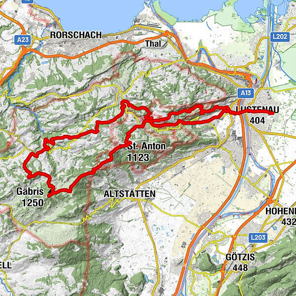
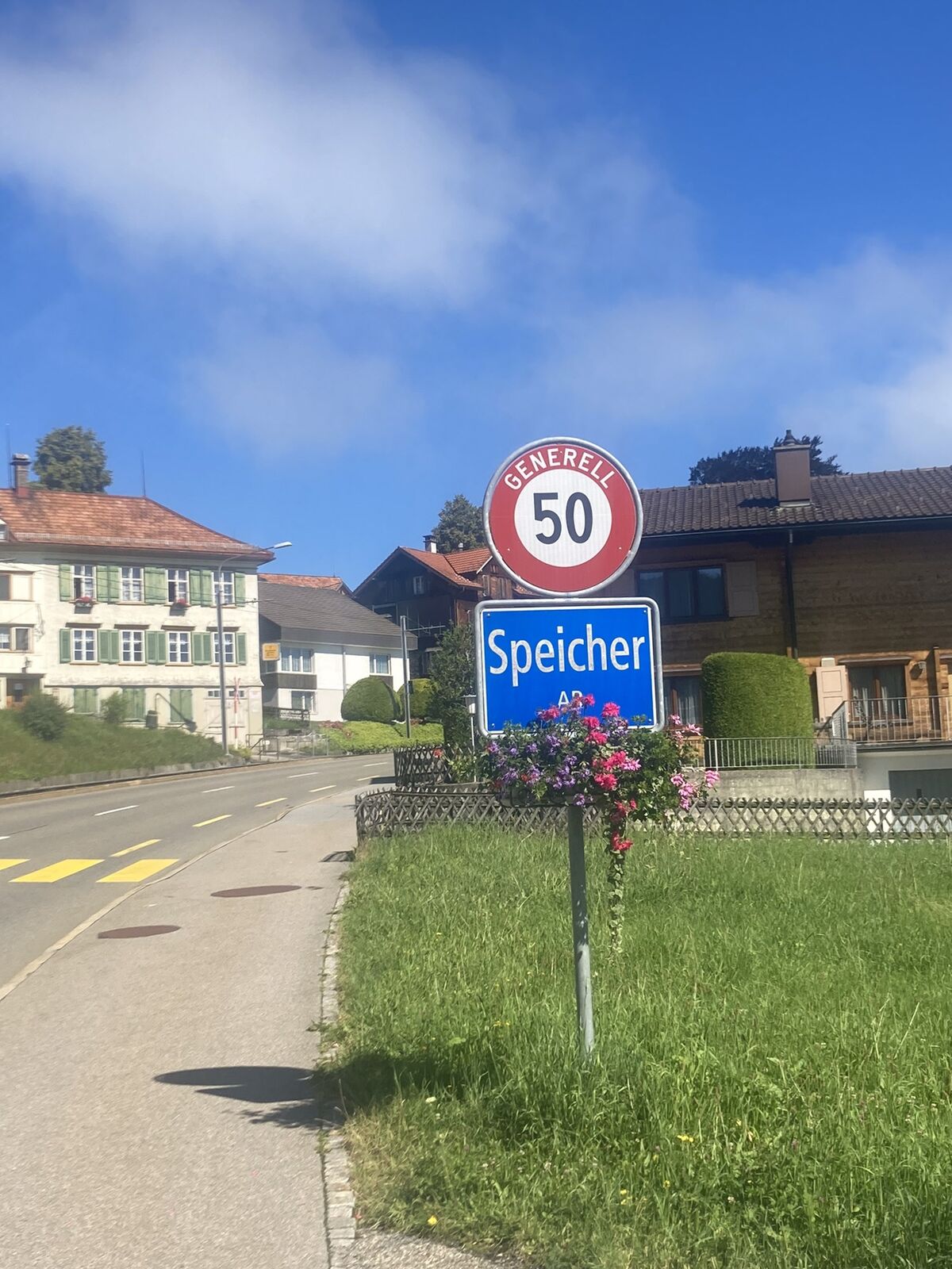
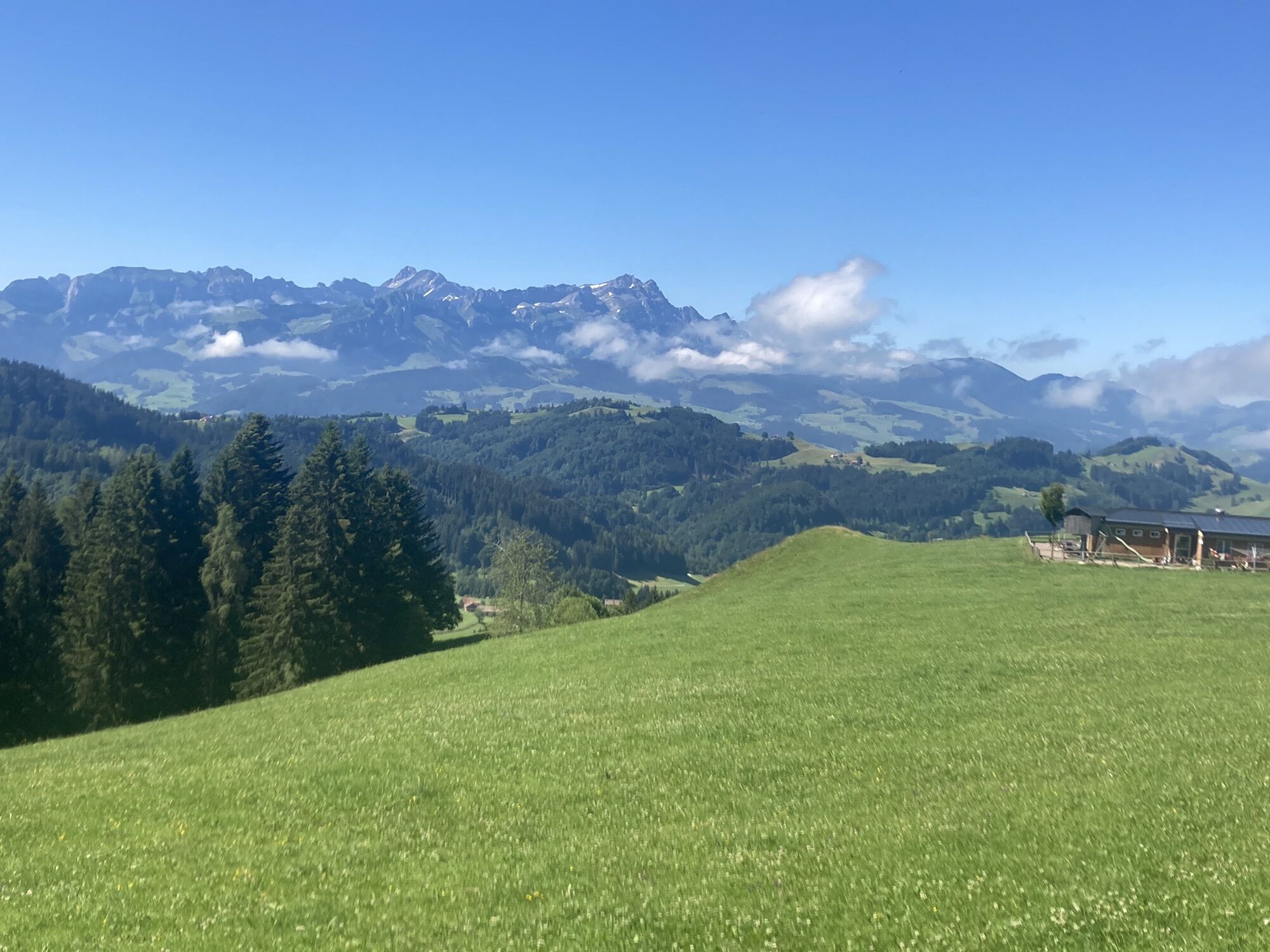
Von Lustenau zur Hohen Buche und Gäbris und retour

Mountainbike


Dati percorsi
51,47km
402
- 1.245m
1.655hm
1.645hm
03:28h
- Descrizione rapida
-
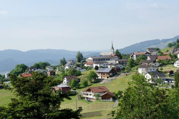
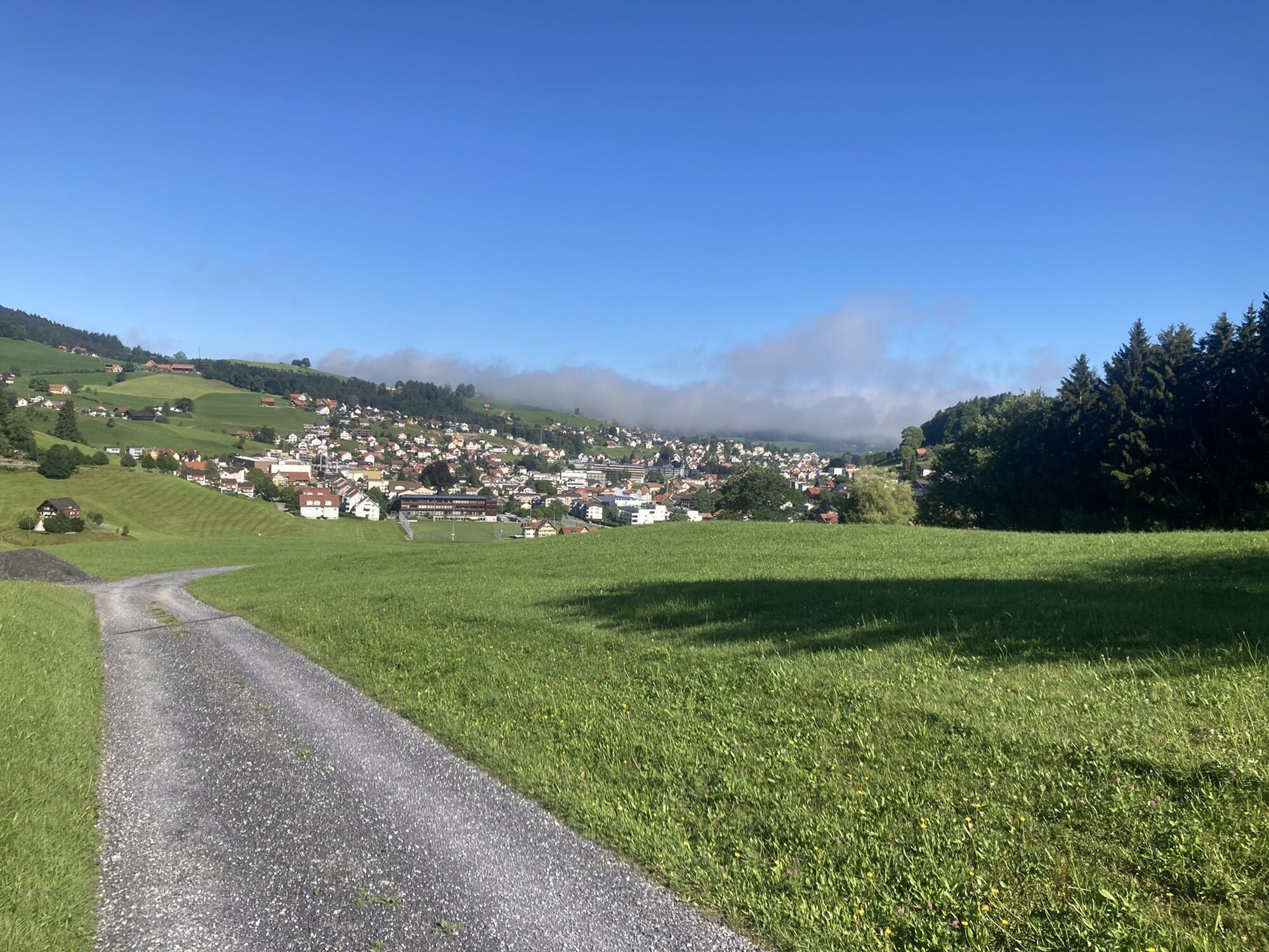
Schöne Tour durchs Appenzell
- Difficoltà
-
difficile
- Valutazione
-
- Percorso
-
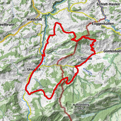
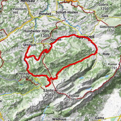
Lustenau (404 m)1,2 kmAu (405 m)3,1 kmKobelkapelle4,1 kmGiesskübel4,5 kmTigelberg5,8 kmBüriswilen6,5 kmSchachen (815 m)11,1 kmNeuapostolische Kirche Oberegg11,4 kmHeiden14,7 kmGrundweidli18,4 kmGrund18,6 kmFarenschwendi19,1 kmBüel19,3 kmHirschen Wald19,4 kmSpitz19,6 kmWald AR (962 m)20,4 kmSchäfli20,5 kmReformierte Kirche Wald20,7 kmRechberg21,6 kmKrone24,7 kmTrogen (903 m)24,8 kmGasthaus zum Schäfli24,9 kmTrogen25,1 kmSan Gallo (675 m)27,2 kmHohe Buche28,7 kmHohe Buche (1.145 m)28,9 kmBreitenebnet30,1 kmGäbris (1.250 m)31,7 kmOberer Gäbris32,4 kmUnterer Gäbris33,1 kmSuruggen36,2 kmLandmark37,3 kmGasthaus Landmark37,3 kmzum Wilden Mann39,3 kmSt. Anton (1.123 m)40,0 kmSt. Anton40,1 kmKapelle St. Anton40,2 kmSt. Anton (1.110 m)40,2 kmSt.Anton40,4 kmOberegg (870 m)43,3 kmSchachen (815 m)44,2 kmReute (703 m)45,2 kmTaa47,4 kmKatholische Kirche Unserer Lieben Frau48,3 kmBerneck (405 m)48,5 kmEvangelische Kirche48,7 kmOchsen48,7 kmAu (405 m)50,9 kmLustenau (404 m)51,4 km
- La stagione migliore
-
genfebmaraprmaggiulugagosetottnovdic
- Punto più alto
- 1.245 m


GPS Downloads


Altri tour nelle regioni
-
St. Gallen - Bodensee
152
-
St. Galler Rheintal
136
-
Oberegg
19