


- Difficoltà
-
intermedio
- Valutazione
-
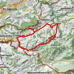
- Percorso
-
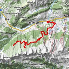
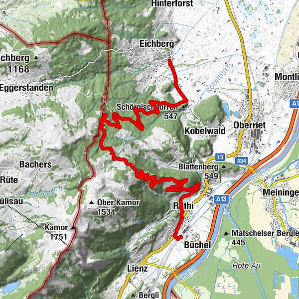
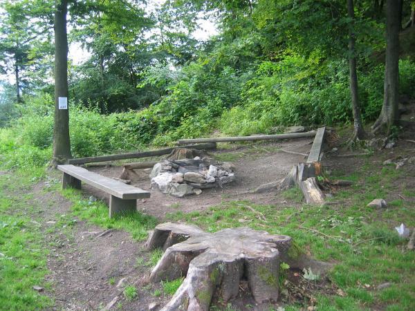
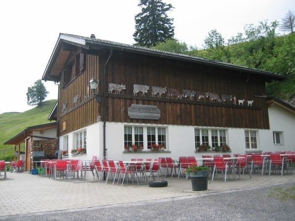
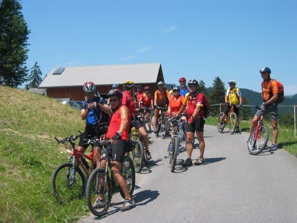
Rüthi (Rheintal) (428 m)1,3 kmBrunnenberg (896 m)6,0 kmBrunnenberg Alp6,2 kmMontlinger Schwamm9,3 kmNeuenalp11,7 kmFuchsplatz16,0 kmOderen19,1 kmAu19,5 km
- Punto più alto
- 1.187 m
- Profilo altimetrico
-
 © outdooractive.com


- Autore
-
Il tour Montlinger Schwamm è utilizzato da outdooractive.com fornito.
GPS Downloads

Altri tour nelle regioni
-
St. Gallen - Bodensee
153
-
St. Galler Rheintal
136
-
Eichberg SG
28