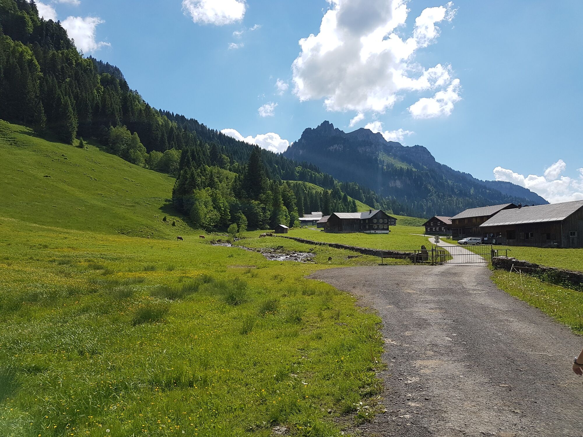
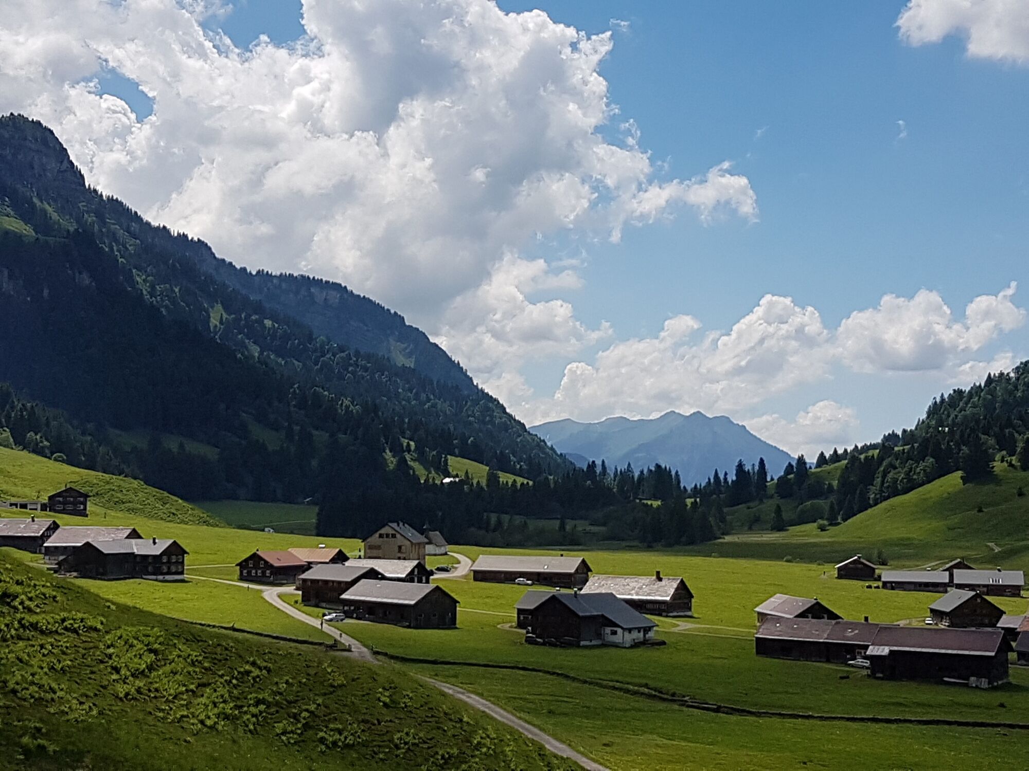
© Bregenzerwald Tourismus - Conny Kriegner

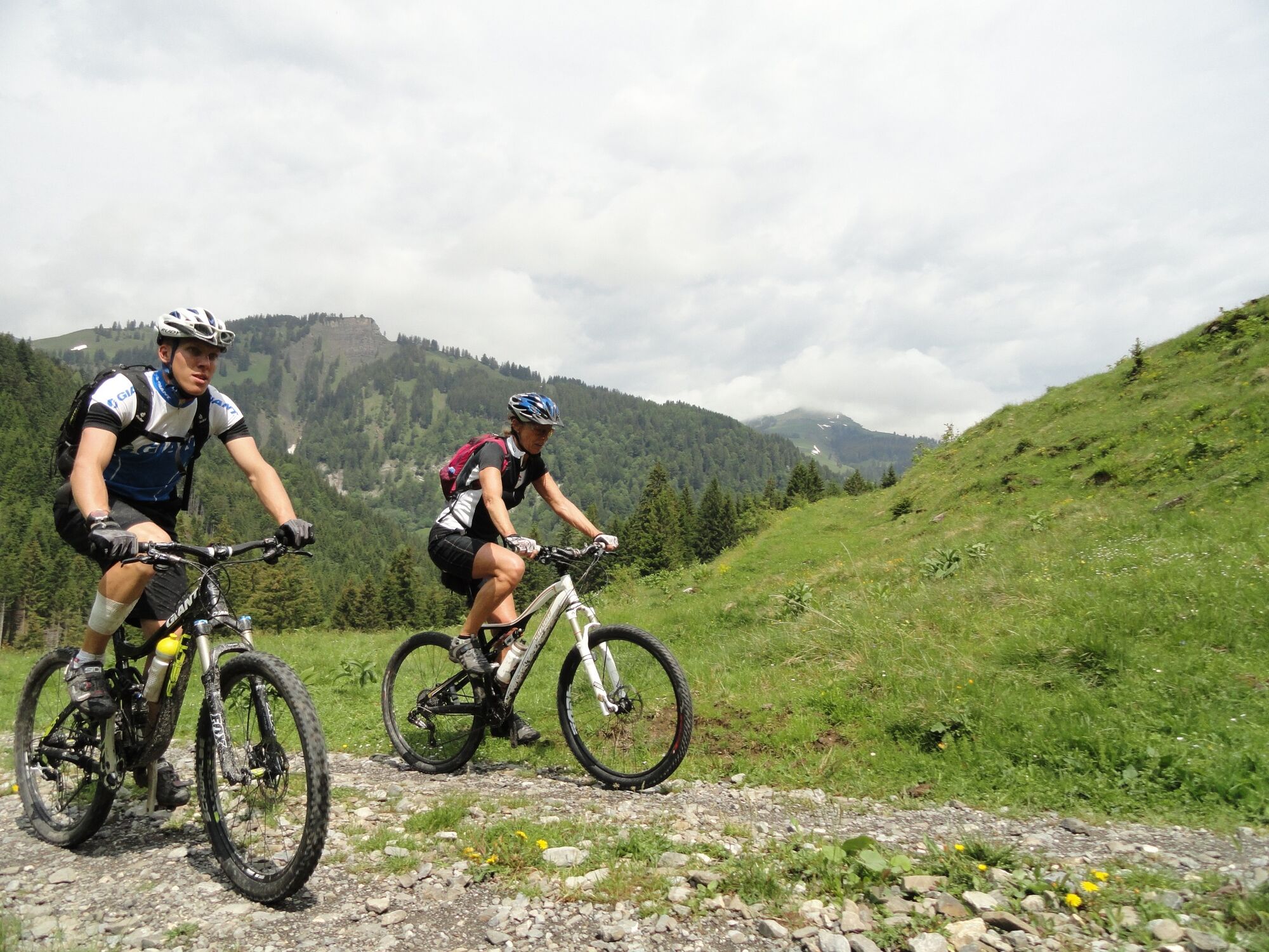
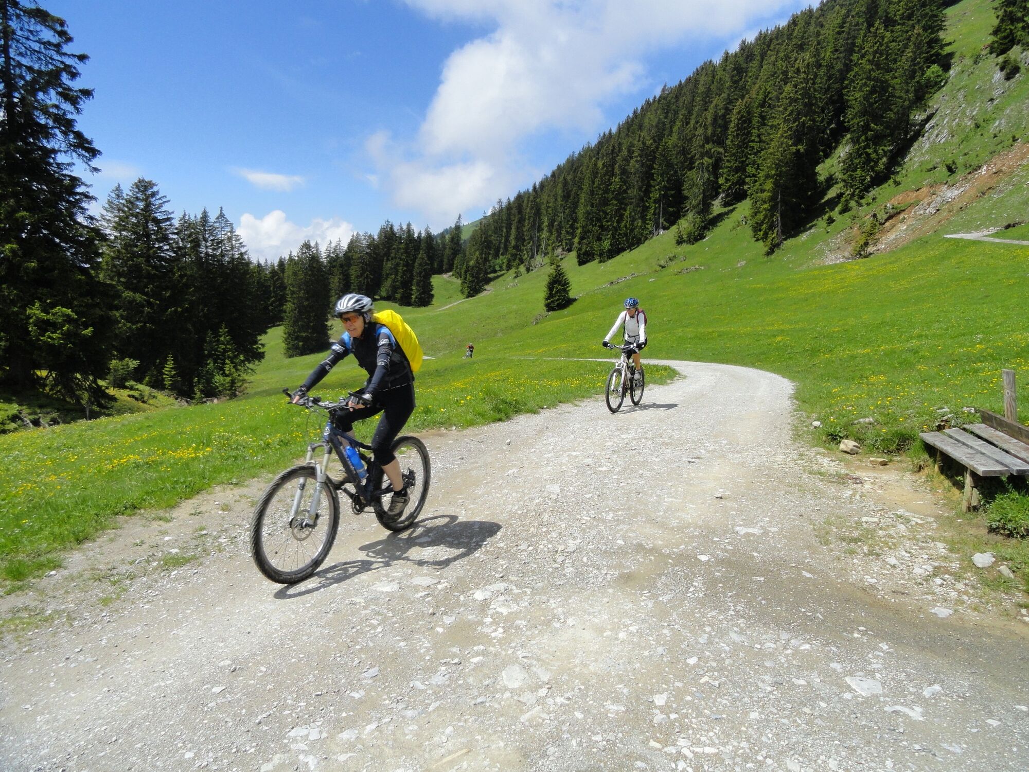
© Bike Schule Bregenzerwald - Stephan Schatz

© Bregenzerwald Tourismus - Conny Kriegner

© Bikeschule Au-Schoppernau - Johannes Larch

© Bike Schule Bregenzerwald - Stephan Schatz

- Descrizione rapida
-
Difference in altitude: 1,200 m
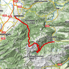
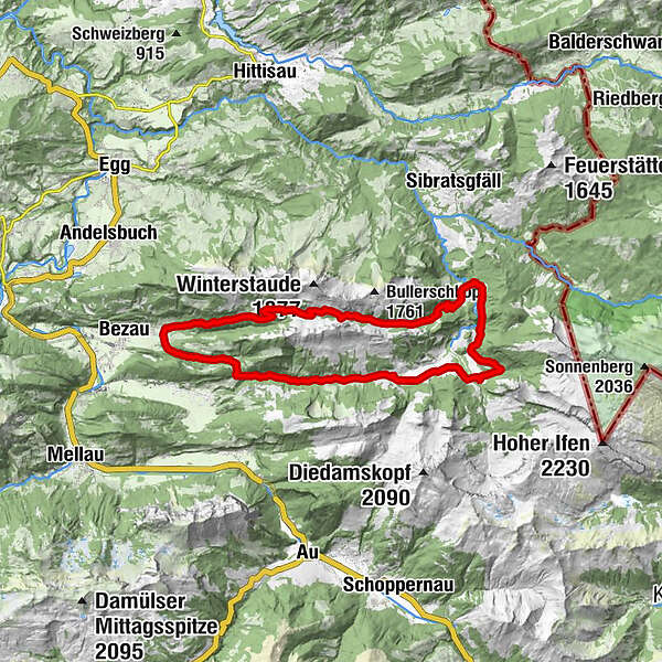
Bezau - Rimsgrund - Langenalpe - Schönenbach - Iferwiesalpe - Hintere Leugehralpe - Auenalpe - Helbockstobelalpe - Schreiberesattel - Wildmoosalpe - Bezau - Difficoltà
-
intermedio
- Valutazione
-
- Percorso
-
ObereSandriese0,2 kmRimsgrund1,8 kmAlpe Rüschere7,8 kmDreifaltigkeitskapelle9,8 kmGasthaus Egender9,9 kmSchönenbach10,0 kmSubersach Wasserfall16,6 kmHinterer Leugehr (942 m)16,7 kmSchreiberesattel (1.526 m)22,2 kmAlpe Wildmoos (1.400 m)25,3 kmHalde29,2 kmObere29,5 kmSandriese29,5 km
- La stagione migliore
-
genfebmaraprmaggiulugagosetottnovdic
- Punto più alto
- 1.530 m
- Destinazione
-
Bezau centre of town
- Profilo altimetrico
-


- Autore
-
Il tour Bezau | Schönenbach - Schreiberesattel è utilizzato da outdooractive.com fornito.
GPS Downloads


Info generali
Punto di ristoro
Promettente
Altri tour nelle regioni
-
Bregenzerwald
225
-
Schnepfau
98