© Bodensee-Vorarlberg Tourismus GmbH - Stadtmarketing und Tourismus Feldkirch

- Descrizione rapida
-
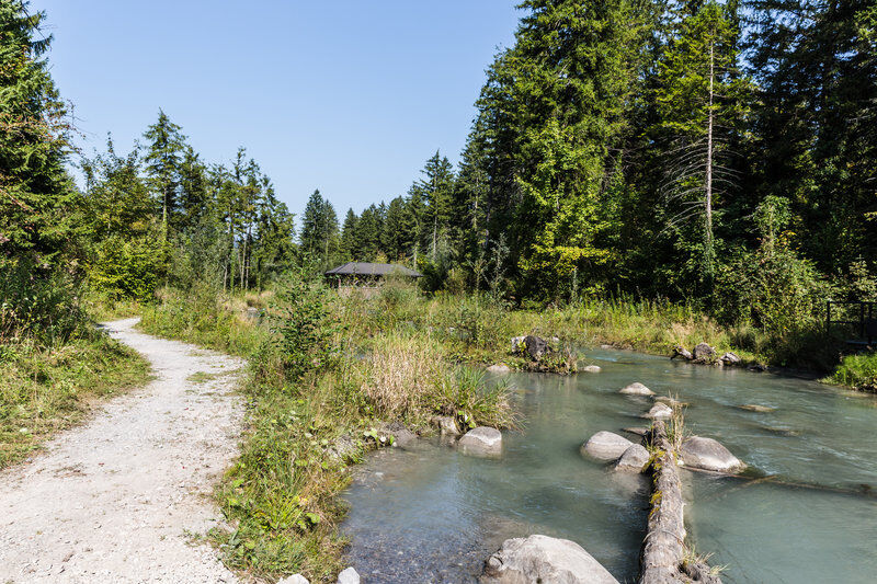
Eine Strecke auf ebenen Schotterwegen.
- Difficoltà
-
facile
- Valutazione
-
- Percorso
-
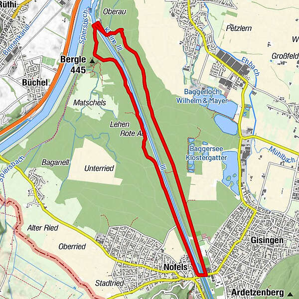
FeldkirchMatschelser Bergle (445 m)6,9 kmFeldkirch11,5 km
- La stagione migliore
-
genfebmaraprmaggiulugagosetottnovdic
- Punto più alto
- 457 m
- Destinazione
-
Waldstadtion Gisingen
- Autore
-
Il tour Gisingen Illspitz Nofels è utilizzato da outdooractive.com fornito.
GPS Downloads


Altri tour nelle regioni

")


")